WillhiteWeb.com
Rampart Ridge Loop
Rampart Ridge is located northeast of Longmire above Kautz Creek. The walls of the ridge serve as a rampart above the camping area at Longmire. A large group of rocks on the southern end of the ridge are called The Ramparts. This is a nice hike when the upper trails are covered in snow. This loop can melt out as early as May 1 during low snow years. There are only a few viewpoints. If the weather is good, keep driving well past this trail.
Access:
Hiking Distance: 5 miles
Elevation Gain: 1,600 feet
Highpoint: 4,100 feet
Access: Paved
Park at Longmire.
Route:
You can hike either direction but by going clockwise one has glimpses of the mountain while walking along the ridge. From Longmire, take the western entrance to the Trail of the Shadows nature walk. At 0.2 miles, the Rampart Ridge Trail starts off branching up the hill. The wide path ascents through woods 4 miles in a series of long switchbacks, to the ridge crest. First up on the ridge is an overgrowing cliff-top overlook of Longmire. Next near the highest point of the ridge you reach a view of the mountain and some surrounding peaks. The trail then continues in a nearly straight line along the ridgetop to a junction with the Wonderland Trail. Having gone 3 miles, it is just a 2 mile drop back down to Longmire.








Sign near Longmire if going counter clockwise.
Crossing the road to Paradise.
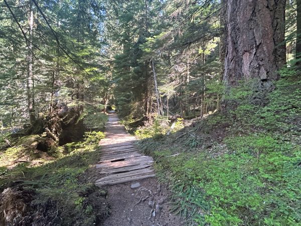
Wonderland Trail climbing Rampart Ridge.
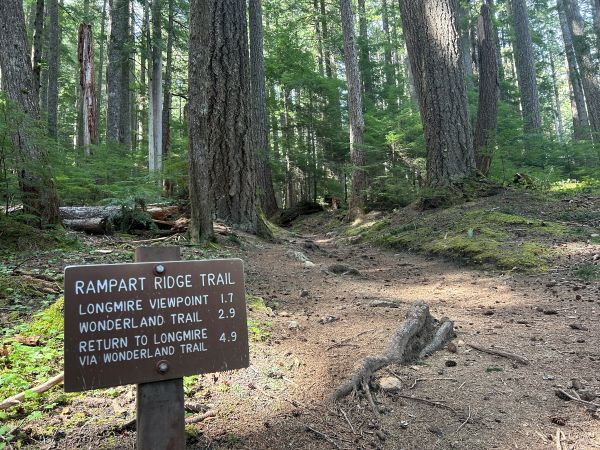
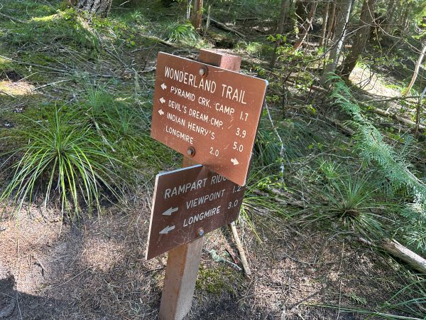
Trail junction sign on Rampart Ridge.
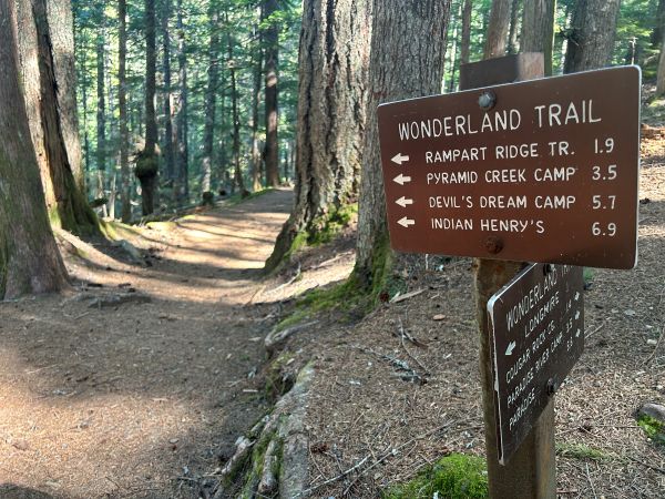
Trail junction on Rampart Ridge.
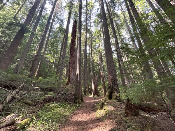
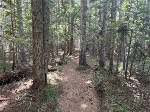
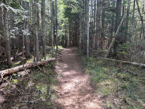
On Rampart Ridge.
On Rampart Ridge.
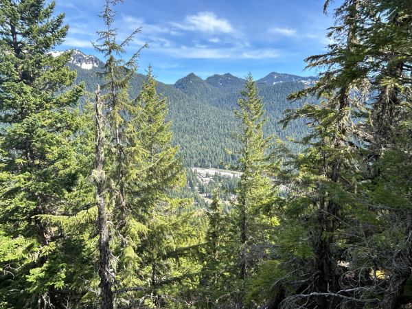
Satulick Mountain from Rampart Ridge. There is also a Rainier view but I got distracted.
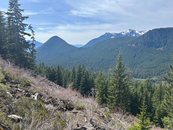
Tumtum Mountain and Mt. Wow.
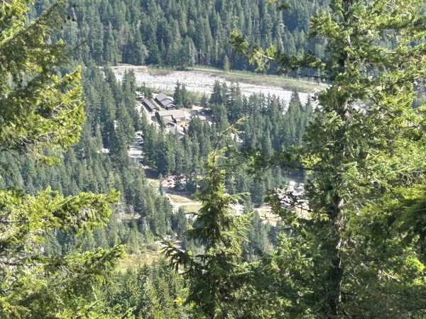
Longmire from the Longmire Viewpoint.
The Longmire Viewpoint is overgrowing.
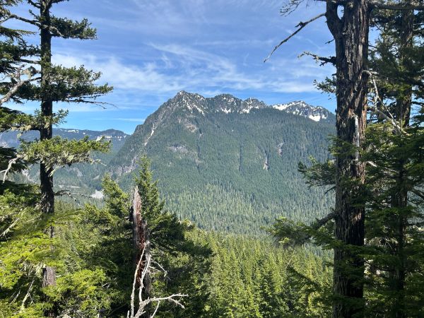
View of Eagle Peak.
Interesting rock along the trail.
Start of the Rampart Ridge Trail from the Trail of the Shadows.
Starting up the Rampart Ridge Trail.


