Owyhigh Lakes Trail
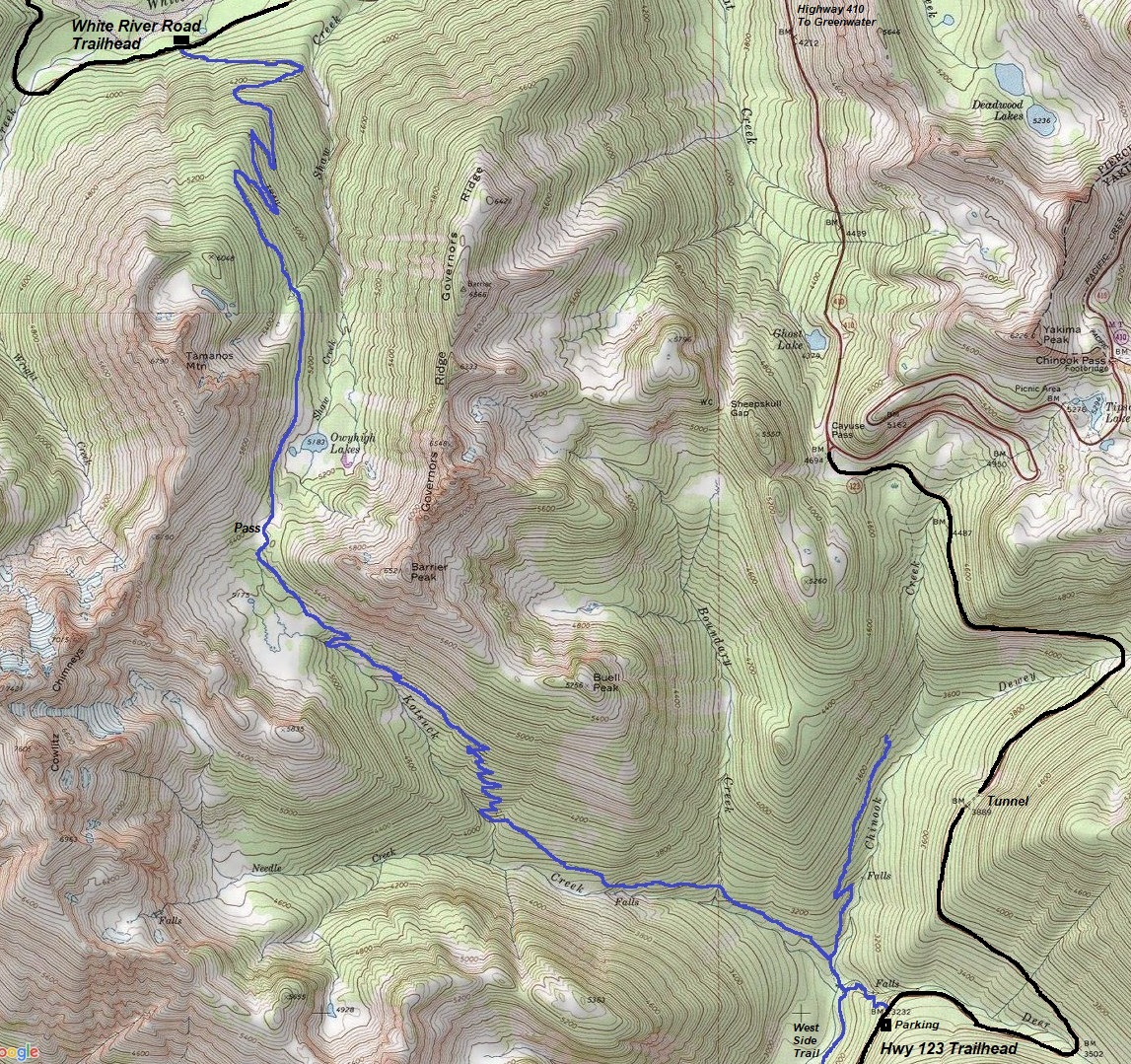
Go hiking in Mount Rainier National Park and never see the mountain. Instead, you do get some spectacular up close views of some of the parks most rugged terrain. There are two trail routes to the lakes. The north is a shorter route but does require a National Park Pass. The south route is more challenging but likely has fewer people, if any. The lakes are surrounded by meadows that bloom flowers in the summer. Three iconic features tower above, Governors Ridge, Tamanos Mountain and the Cowlitz Chimneys. There is nice exploring around the lake and meadows. The trail south of the lake continues up 300 feet to a 5,400 foot pass with more meadows on the other side.
WillhiteWeb.com
Drive from the White River Road (Sunrise) Entrance 2 miles to a parking area on the right.
Hiking Distance 3.5 miles or 5 miles (8.5 one-way)
Highpoint: 5,400 feet
Elevation Gain: 1200 feet or 1900 feet
North Access:
Drive south of Cayuse Pass on Highway 123 passing both the Dewey and Deer drainages. The trail is on the west side of the road but the parking is down the road a few hundred feet on the east side.
South Access:
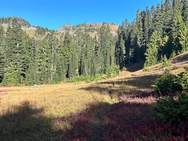
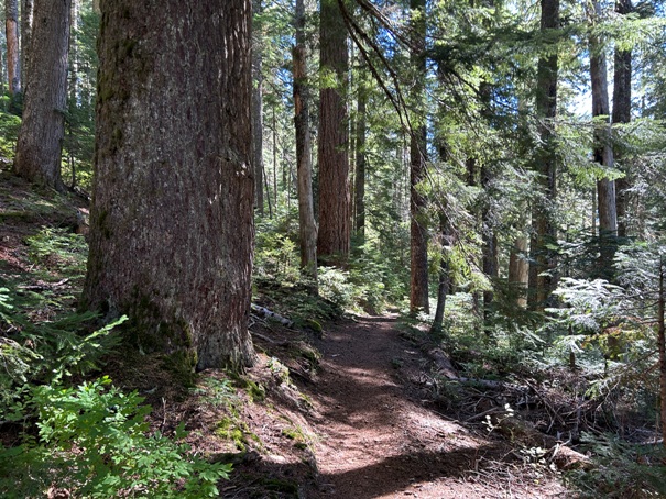
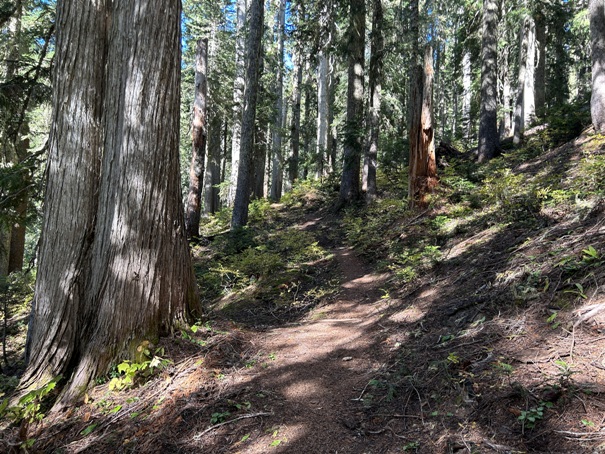
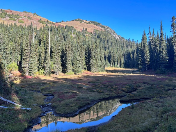
At this time, this page only has images from the south access and no images of the lakes. Although I have hiked right past the lakes twice, I have no images for whatever reason. They will go here in the future....I think I would like to climb Tamanos again.
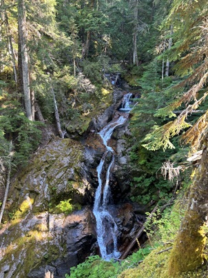
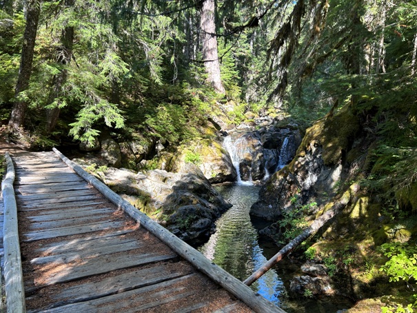
Deer Creek Falls
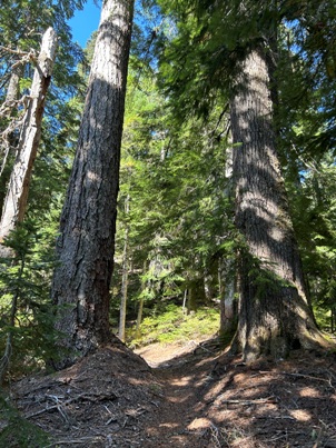
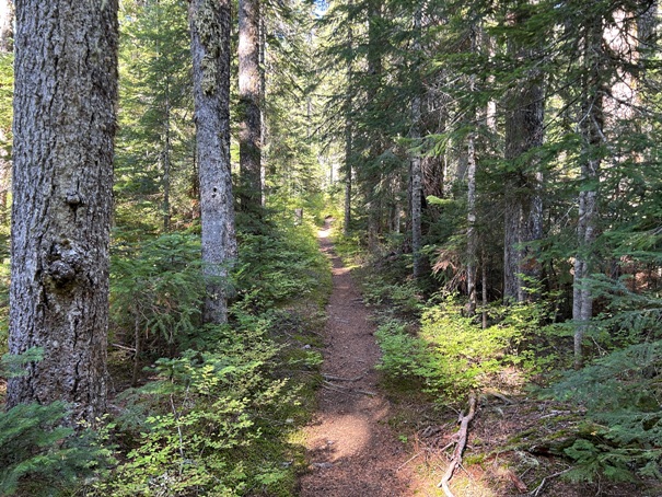
Big trees
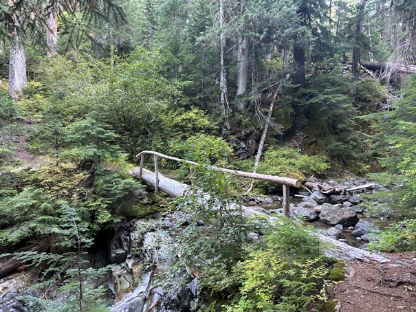
Crossing Chinook Creek
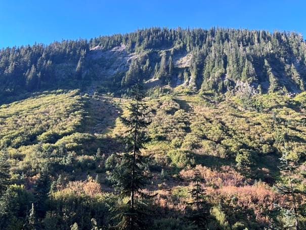
North slopes of Double Peak
Crossing Boundary Creek
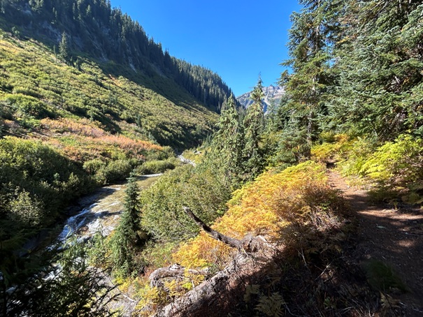
Opening in the trail
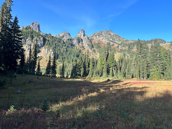
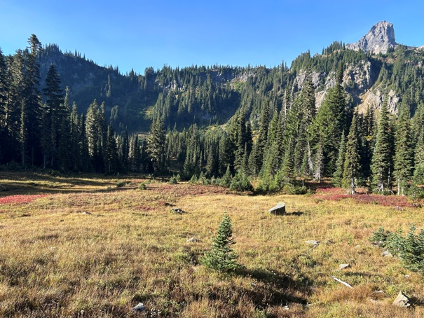
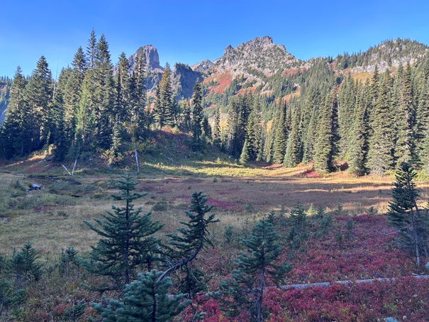
First meadows and Cowlitz Chimneys
Meadows near the pass
Tamanos Mountain from the pass area
Cowlitz Chimney


