WillhiteWeb.com
Glacier Basin Trail
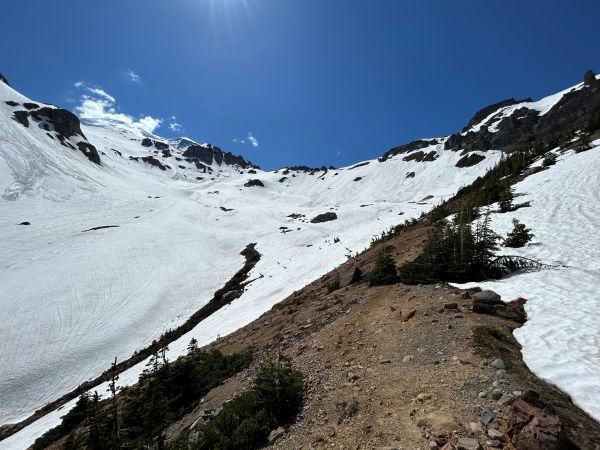
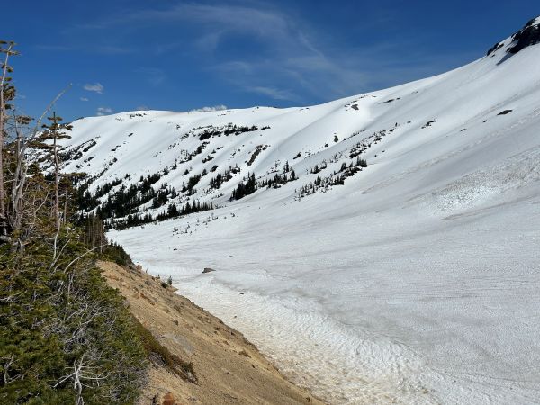
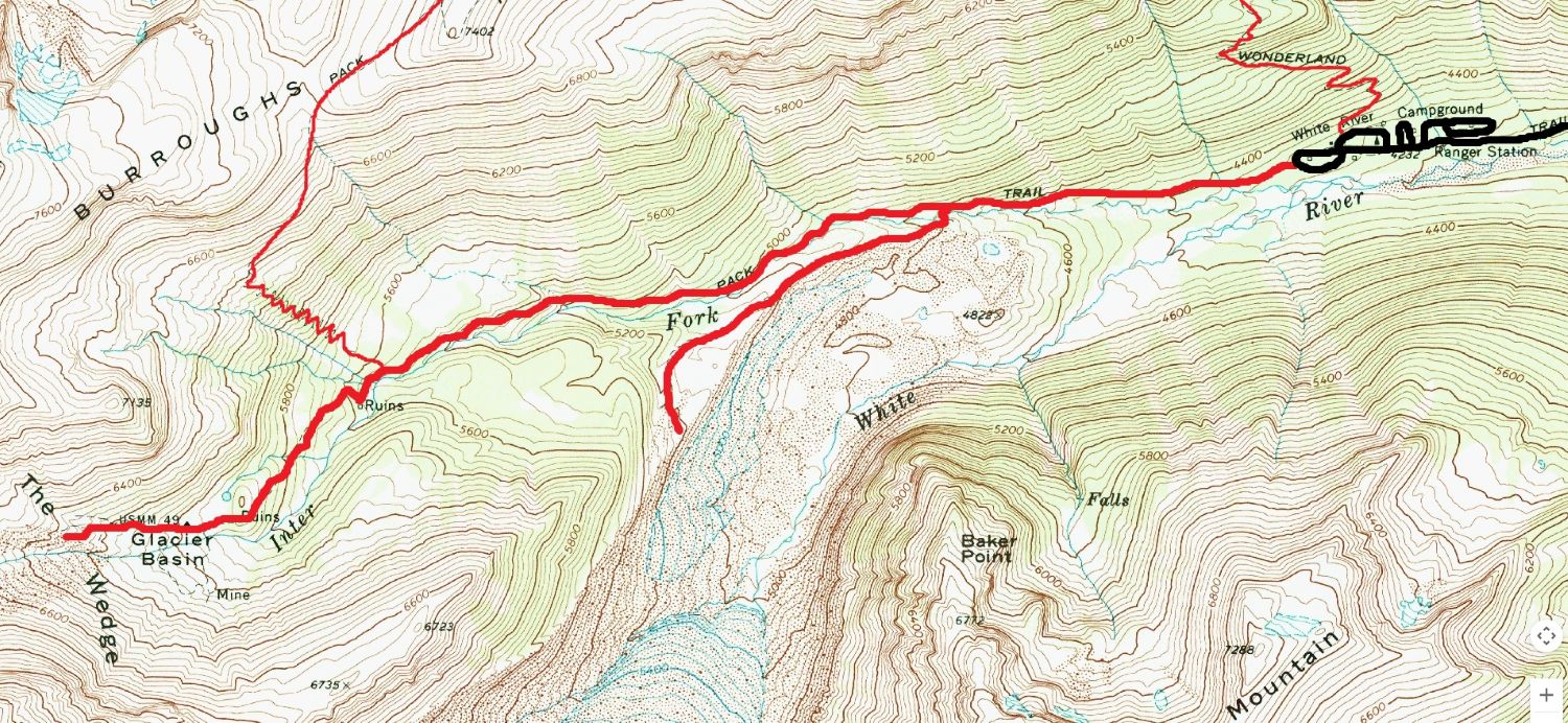
Hike a trail with a long history and is currently used for the second most popular climbing route up Mount Rainier. The trail follows the Inter Fork River though forest with occasional big views until reaching Glacier Basin, a huge open meadow with massive views at the head of the valley. You can even continue up into Glacier Basin on a safe climbers track until you reach the Inter Glacier. Enjoy looking for mountain goats on the surrounding slopes and climbers ascending the Inter Glacier toward Steamboat Prow.
Access:
Enter the White River Entrance and go to the White River Campground Trailhead.
Route:
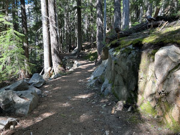
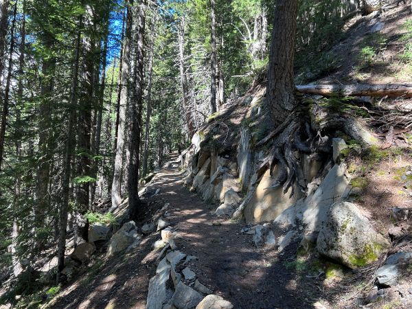
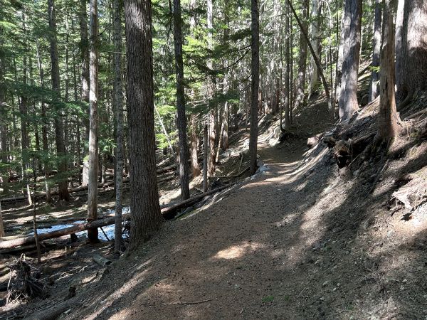
Start up the trail at the end of the campground. At one mile, there is a side option for the Emmons Moraine Trail. This one-mile round-trip spur trail leads to a viewpoint which overlooks the Emmons Glacier, the largest glacier in the 48 contiguous United States. At about 1.5 miles there are openings in the forest that have great views. The trail starts to really climb as it gets close to the basin. Snow can linger here but the trail is usually well packed. At the basin, suddenly the forest will end and you are in the high country.
Distance: 3.3 miles one-way
Elevation gain: 1,280 feet
Access: Paved
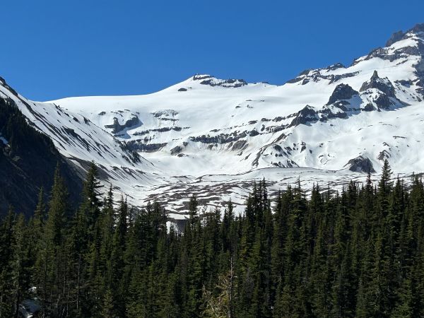
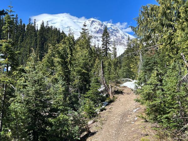
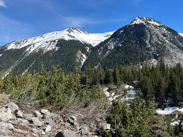
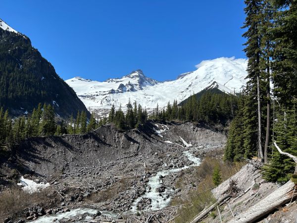
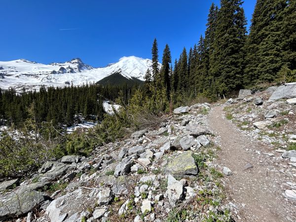
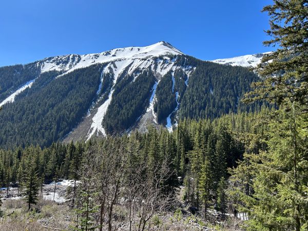
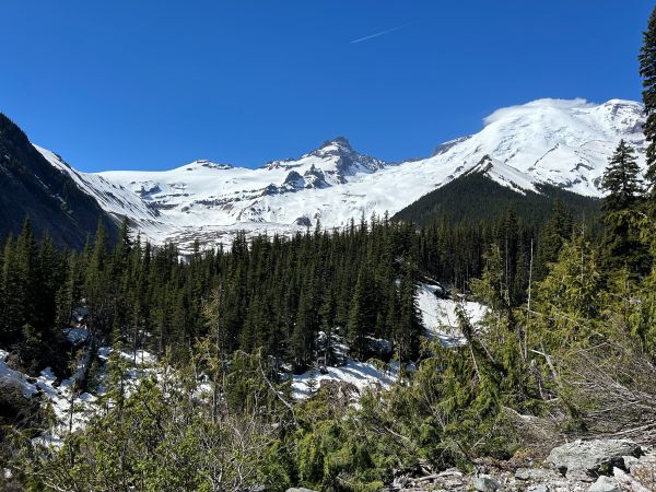
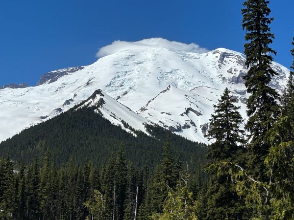
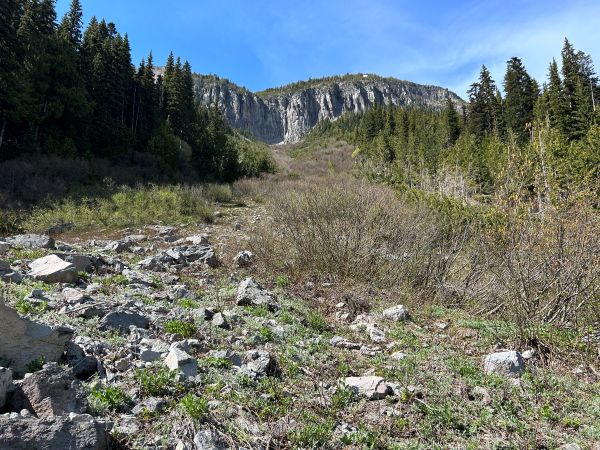
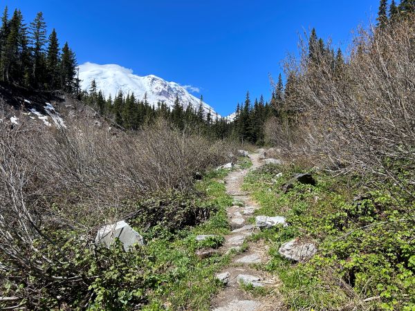
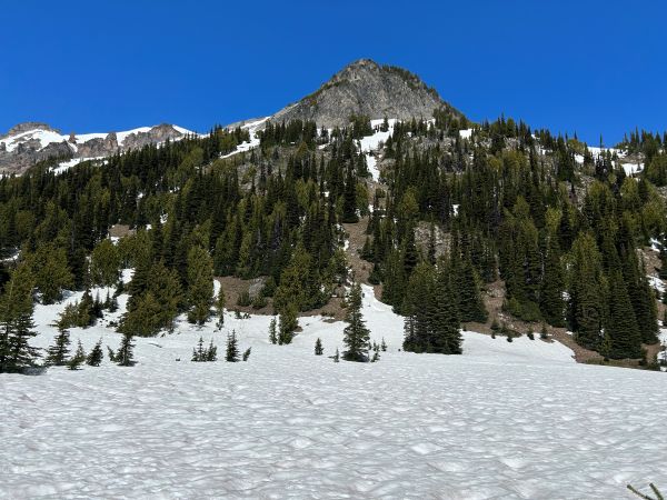
View of Point 6,723, Mount Ruth and Steamboat Prow. Then Mt. Rainier.
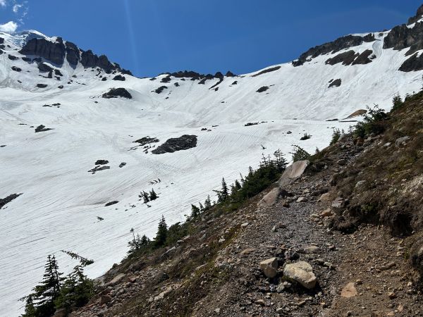
Rocks above Glacier Basin.
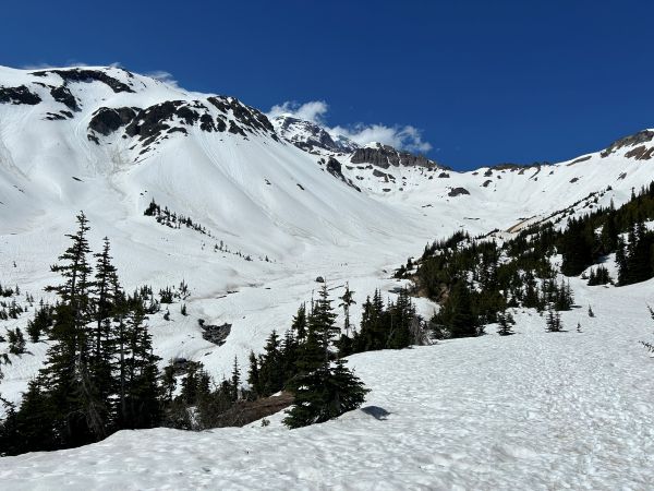
First view of Glacier Basin.
Hiking into Glacier Basin on the climbers trail.
Hiking into Glacier Basin on the climbers trail.
On the Glacier Basin moraine looking back.
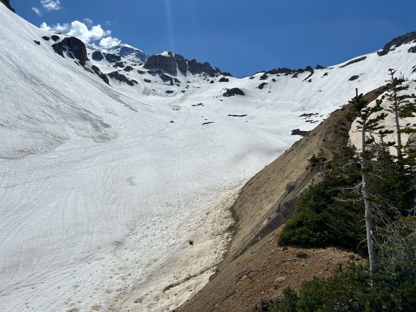
On the Glacier Basin moraine looking up at the Inter Glacier.
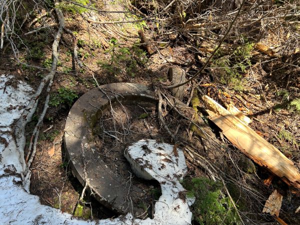
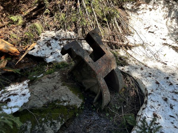
Old mining equipment.
Old mining equipment.
View of Goat Island Mountain.
View of Little Tahoma.
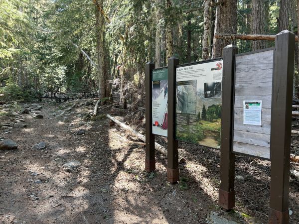
Trailhead


