WillhiteWeb.com
Eagle Peak Trail
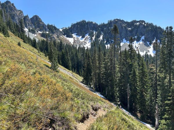
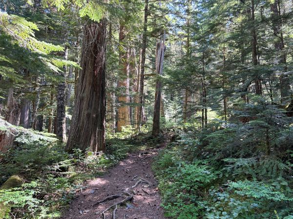
This is a nice forest hike to a great view of Mount Rainier from a high saddle on the west end of the Tatoosh Range. The trail is wide and smooth with an easy grade. At about 3 miles in a meadow the nice smooth trail ends and the trail narrows for its climb up to 5,700-foot saddle. At the saddle, continue a short distance to the right for the best view of Mt. Rainier. East is the Tatoosh Range, west is down to Longmire and to the south rises Mt. Adams and St. Helens. The saddle is the essential turnaround point for hikers. The final 300-foot climb to the summit is not for novices who do not know the route and are not comfortable with dangerous scrambles. Plus, the view from the summit is not much better.
Access:
From Longmire, drive past the Administration Building and residences. Cross the suspension bridge over the Nisqually River and in 200 feet park on the side of the roadway where there is room for 3 cars in front of the trailhead. If the bridge is closed, just park in Longmire and walk to the trailhead.
Saddle Elevation: 5,700 feet
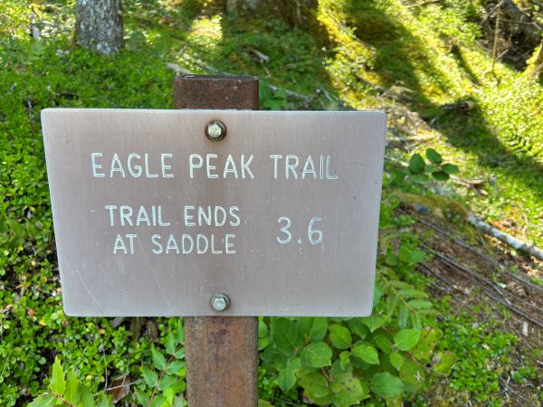
Hiking Distance: 3.6 miles one-way
Elevation Gain: 3,000 feet
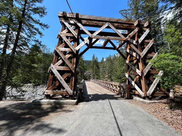









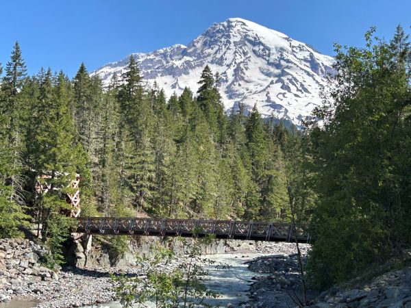
Mt. Rainier with the Longmire Bridge over the Nisqually River.
Longmire Bridge over the Nisqually River.
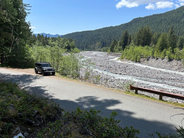
Closest parking is a few spots across from the trailhead.
Trailhead sign.
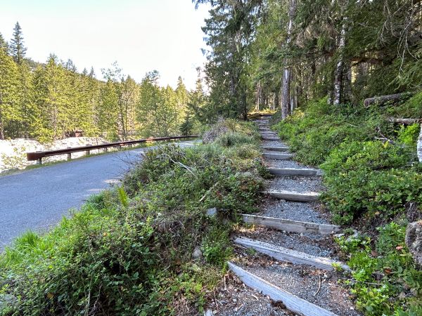
Start of the trail.
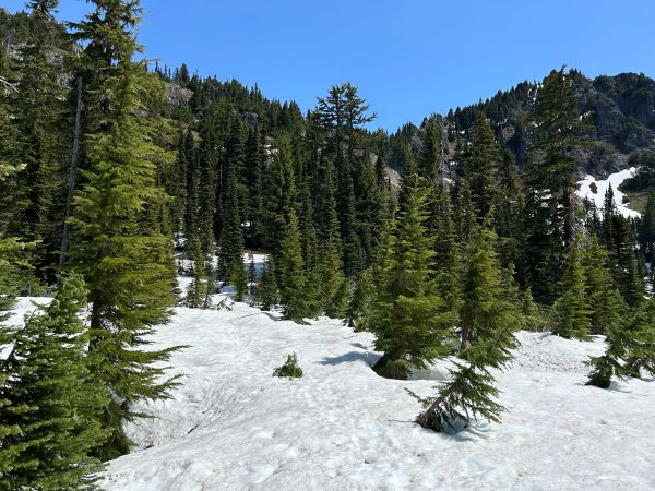
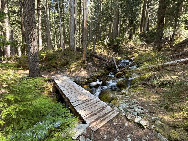
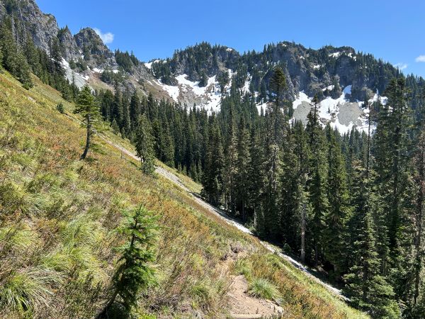
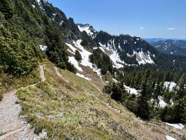
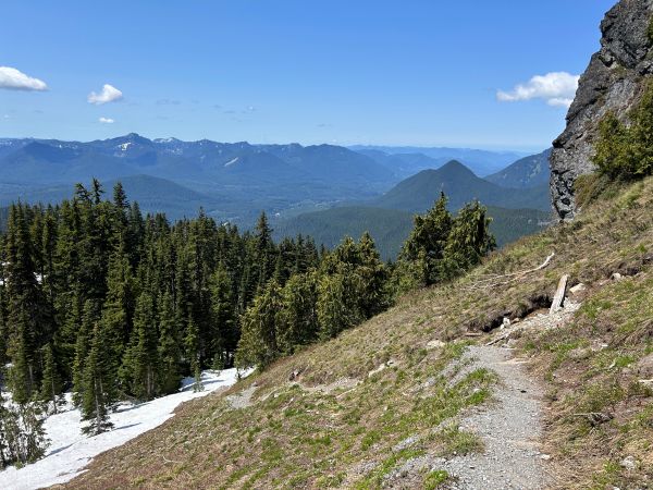
Trail up to the saddle.
Mount St. Helens
Tumtum and the Nisqually Valley through Ashford.
View to St. Helens without the zoom.
Mt. Rainier from the saddle.
Last few feet to the saddle.
Mt. Rainier view will get better if you go right at the saddle.
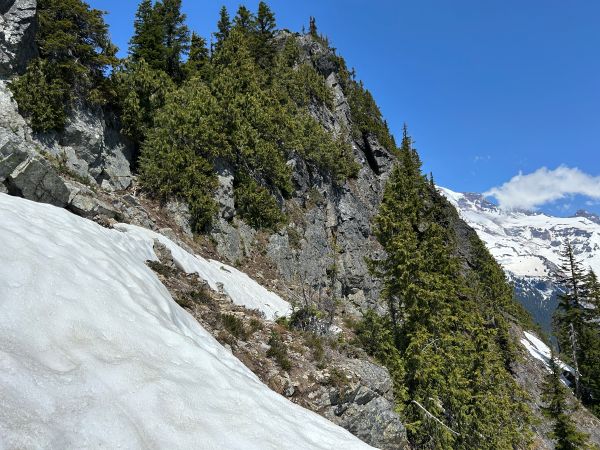
The summit of Eagle Peak is a exposed rock scramble on the left side of the saddle.


