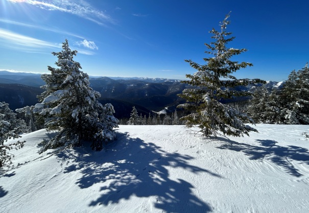
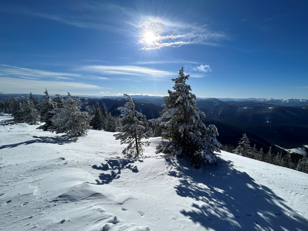
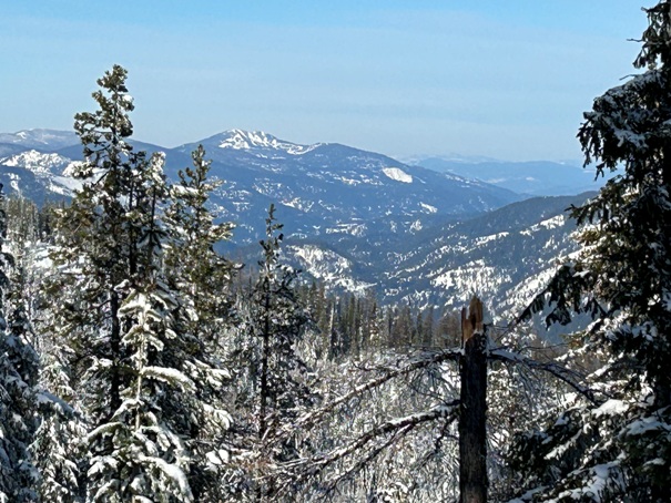
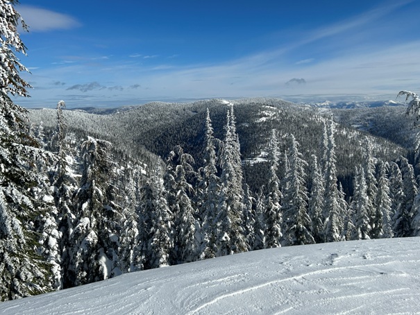
This mountain is directly East of the Lookout Pass Ski Area, across Interstate 90 at Lookout Pass. It is a popular location for both backcountry skiing and for snowmobilers. Skiers stick to the open slopes right above the highway while the machines zip up to the ridgeline where there are many knobs and nooks to explore. Views can be found along the route in places and at a few of the highest points along the summit ridgeline. The best view is at the highest point.
Elevation: 6,120 feet
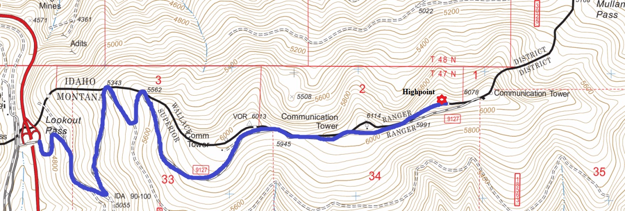
Hiking Distance: 3.5 miles one-way
Elevation Gain: 1,500 feet
Prominence: 952 feet
County: Shoshone County, Idaho/Mineral County, Montana
Season: Best in Winter due to good access
WillhiteWeb.com
Access:
Take Exit 0 at Lookout Pass. On the north side of the overpass, adjacent to the westbound on-ramp for the freeway is some parking. No fees. The other side of the freeway also has parking at the ski area.
Lookout Pass - Peak 6120
Route:
There is a road going up the ridge from the parking area and I would guess it is usually quite packed down except after a good snowfall. In winter, it was easy to walk the road and easy to drop directly down the hillside on return. The route up had a few shortcut options when there was a good enough snowmachine track. In summer, I would think the road should be open to walk or bike. If you know what the locals call this mountain, please contact me.

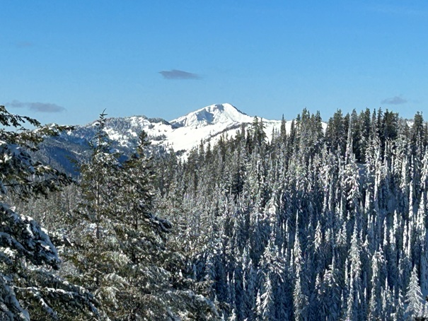
Stevens Peak
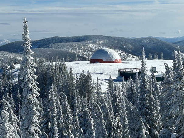
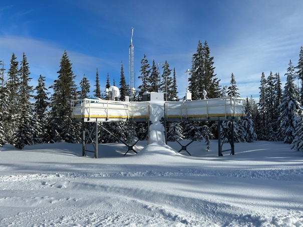
Weather Station
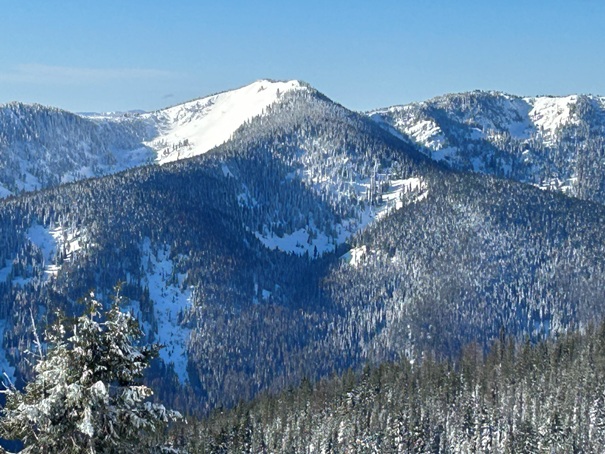
Peak 6,404 to the south
View SE
At the end of the ridge is this.
Bullfrog Benchmark on left, with peak 6471 on the right.
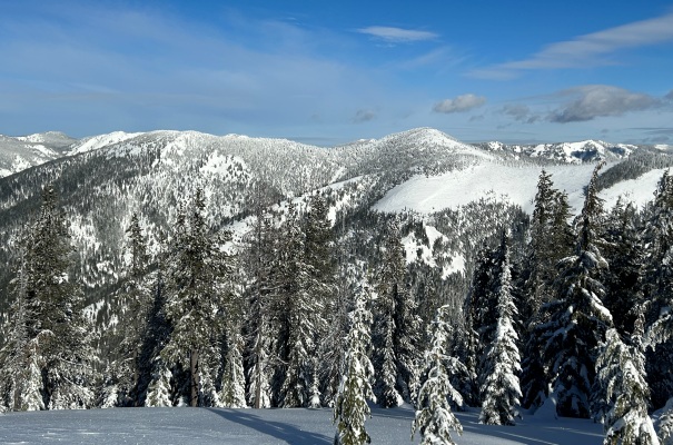
View NW from the summit area
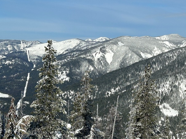
Looking West with Kellogg Peak in the distance
Looking over to Runt Mountain
Looking West
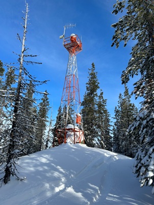
One of the last working airway beacons
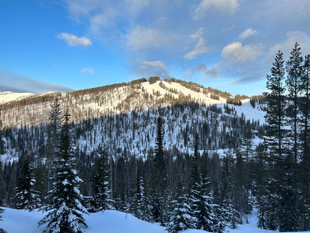
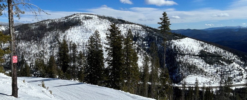
This is from Runt Mountain looking over at the route up Peak 6120. The true summit is a mile further along the top of the ridge to the East.


