
Mt. Esja
Elevation: 2,999 feet
Hiking Distance: 2.3 miles to viewpoint (2 more to true summit)
Elevation Gain: 2,966 feet to viewpoint
Prominence: 2,261 feet
Access: Paved
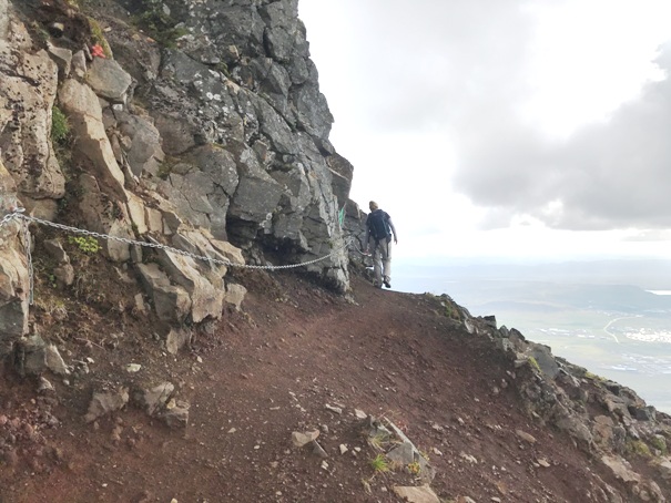
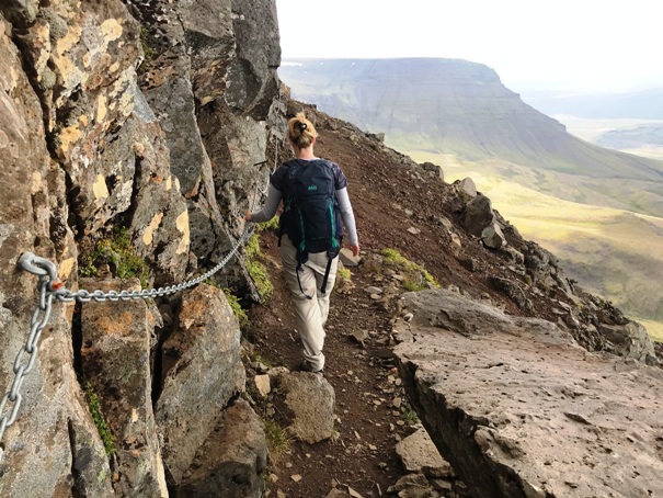
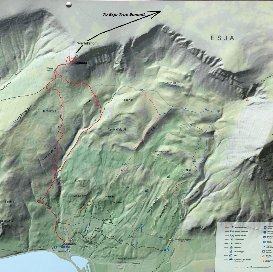
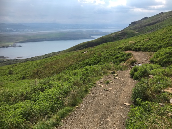
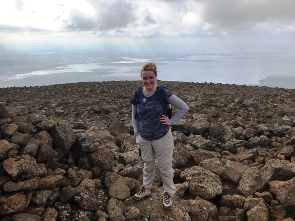
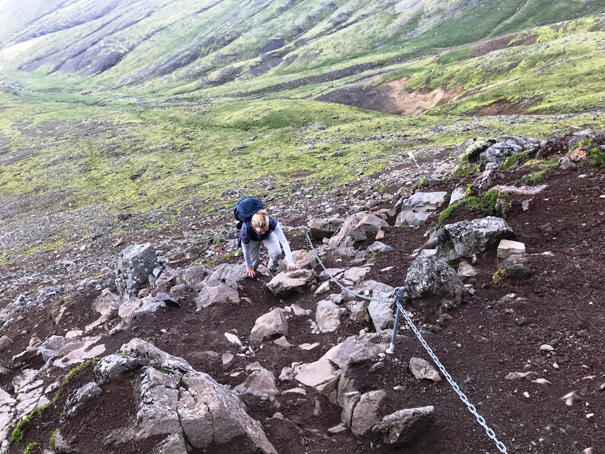
Probably the most popular hike from Reykjav�k is Mt. Esja. It is only 20 km to the north and has parking right off the main highway. The hike up is a well maintained trail to a great view at the top of the mountain. OK, views are good the whole way. The final few hundred feet is a bit exposed through a rock cliff section. A chain is running this section to hold onto if needed. The best views are from the top of the trail at Pverfellshorn but many do stop at Steinn below the cable section.
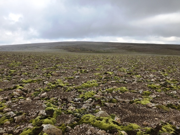
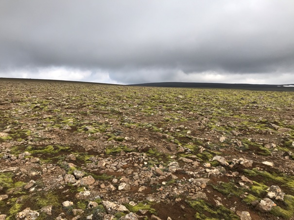
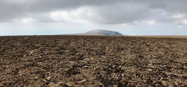
If you are a peakbagger, the true summit is about an hours hike on the summit plateau to a very broad summit area. If going to the true summit, have a GPS because the ridge is flat and in cloudy conditions, you could have some real issues up there.
WillhiteWeb.com
Esja from the island of Videy
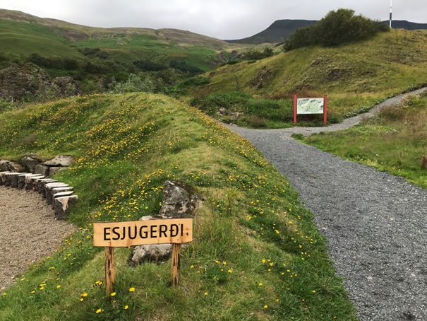
Esja Trailhead
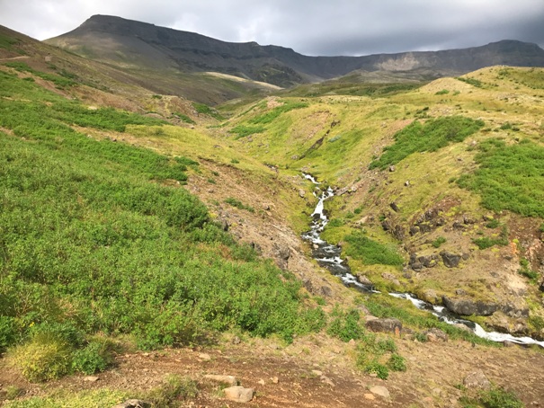
Starts with this creek along the side
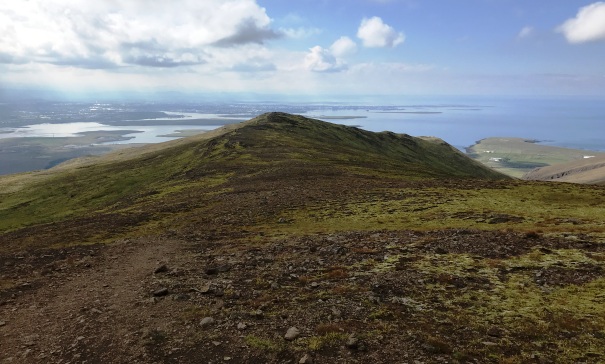
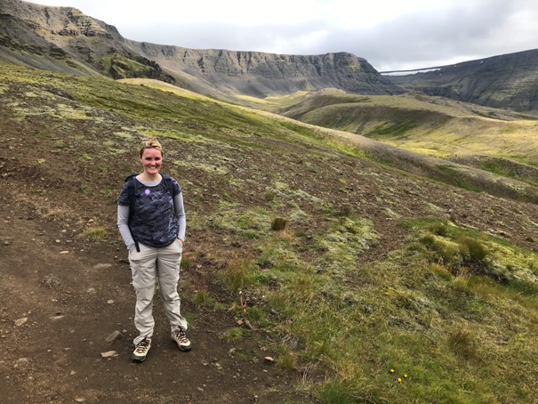
Getting some views
Getting up toward Steinn
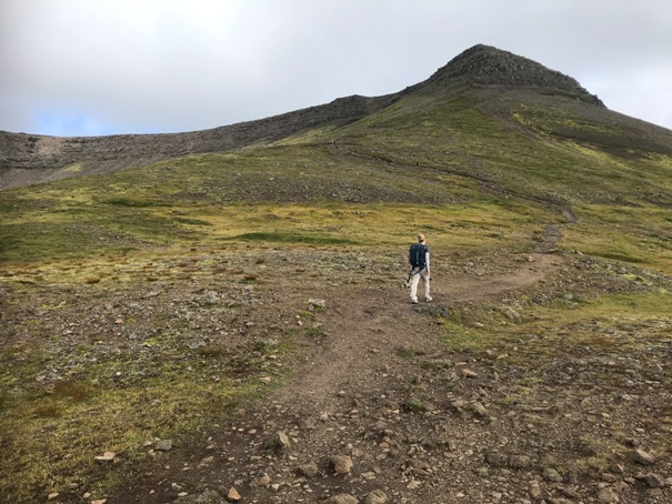
Hiking up
Very start of the chains
Chain section
Chain traverse section
Pverfellshorn viewpoint (end of trail for most).
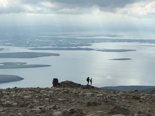
Hikers at Pverfellshorn
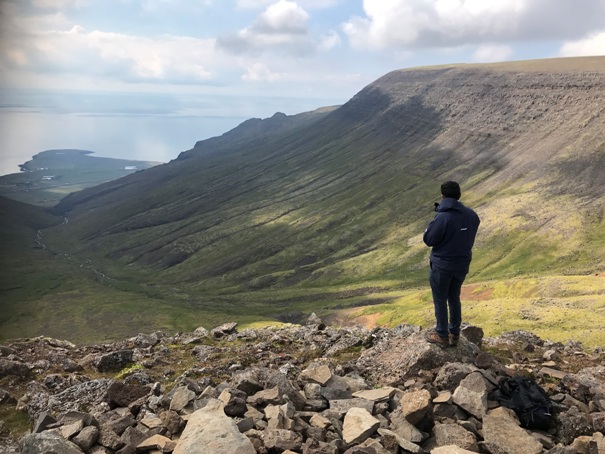
Hiker at Pverfellshorn
The highest point is in the far distance
Working toward the highpoint but looking back
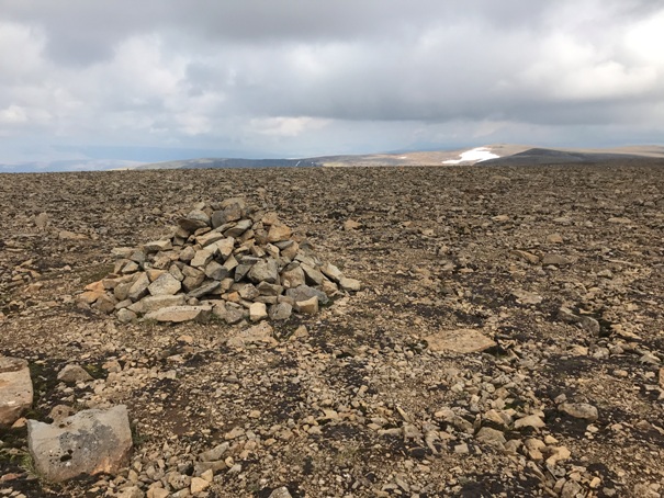
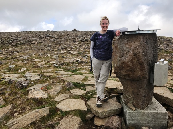
At the highpoint of Esja
Summit plateau
Just above Pverfellshorn


