Ancient Lakes Trails
Elevation: 1,500 foot range
Hiking Distance: 1.5 miles one-way (up to 20 mile loops)
Elevation Gain: 200 feet, up to 1,500 feet loops
Access: Good Gravel, Discover Pass needed
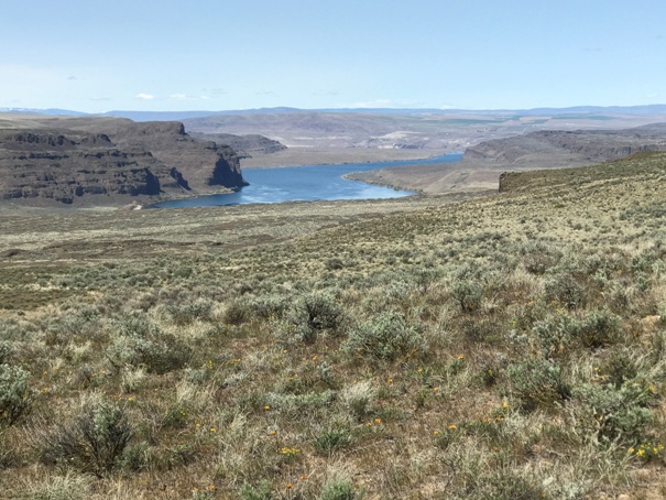
This place is amazing if your timing is right. You can just show up and hike, camp or backpack, no fees, no permits, all you need is a Discover Pass in your windshield. Hike up to 20 miles, backpack to a lake or secluded camps on the Columbia River. You could even take in a concert at the Columbia Gorge Amphitheatre if you are willing to hike that far. The catch, bring all your water as the water in the lakes and creeks is coming out of the irrigation runoff and probably not safe to drink even if filtered (I did filter out of the Columbia River). People also camp over at Dusty Lake, part of the same network of trails. In spring, the area is green and wildflowers come out. Wait too long and the rattlesnakes come out. Winter looks like an amazing time to find some backcountry camping solitude.
To the upper trailheads: From I-90 take exit 149, turn left onto SR 281, and drive north towards Quincy and Wenatchee. In 5.6 miles turn left onto White Trail Road and drive 2.9 miles until the road jogs to the right. In the middle of the jog turn left onto T-NW signed for Public Fishing. Drive the gravel road 0.5 miles to a large parking area with a kiosk and a yellow gate. From here on the road is known as Quincy Lakes Road.
For the lower trailhead: Same directions as above but follow the White Trail Road 7.8 miles to 9-NW (note: after 4 miles White Trail Road swings north & may also be signed U-NW). Turn left on 9-NW and drive west. In 2 miles the pavement ends and the road becomes Ancient Lakes Road. Follow it down and drive 4 miles to the trailhead.
Access:
WillhiteWeb.com
There are 3 ways to get into the Ancient Lakes, two from above, one from below. The North Trailhead (Judith Pool Trail) is off the Quincy Lakes Road about 0.2 miles from the north seasonal gate. Gate is open March through September 30. This is a quick route to the lakes but does drop steeply through some talus and some may not enjoy that. The south trailhead is 1.3 miles down the Quincy Lakes Road from the seasonal gate. This trail is better and the main route people take when the gate is open. Both of these trails drop down to the lakes. The third option is from below from the Ancient Lakes Road Trailhead. It is 2.1 miles of slightly uphill on an old road, and then trails into the lake basin.
Routes
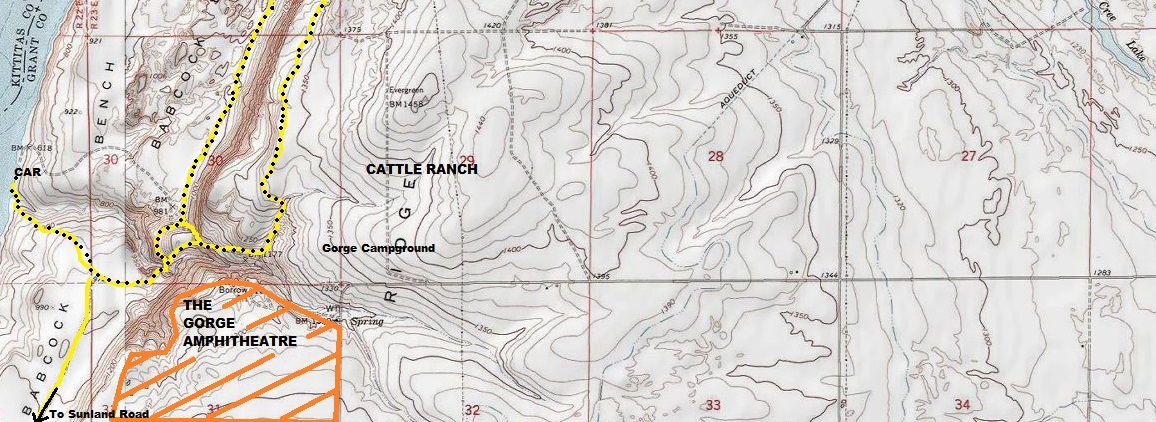
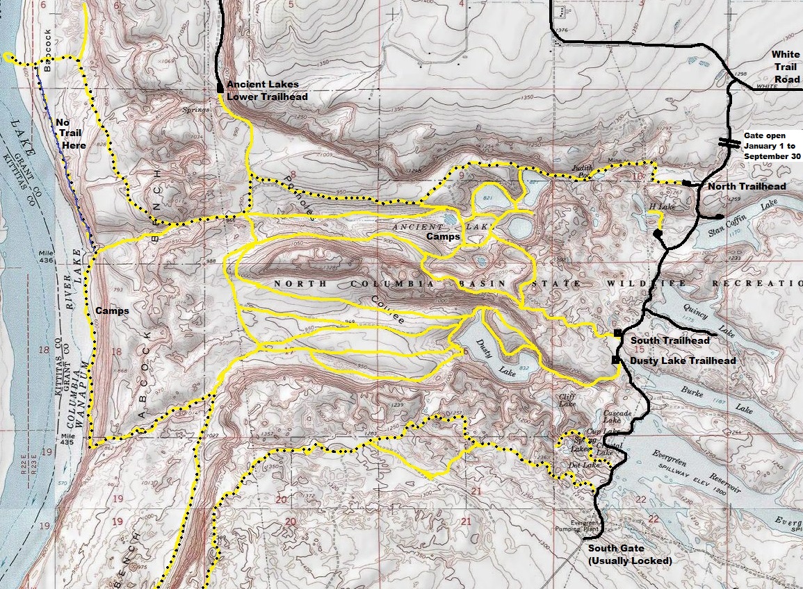
Yellow lines are trails. Not all shown. On my first visit, I did the loop shown with black dots on yellow trails. I decided to save Dusty Lake for a family overnight camping trip.
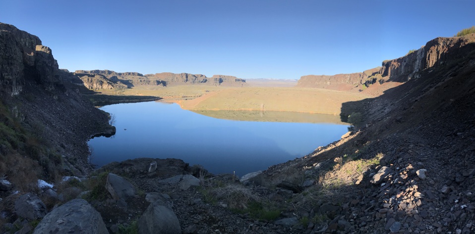

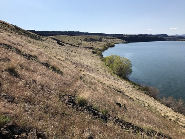


Ancient Lakes Basin
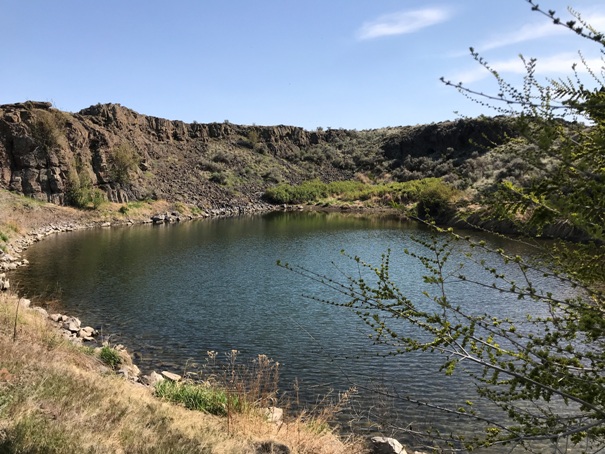
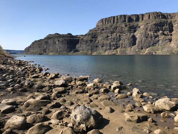
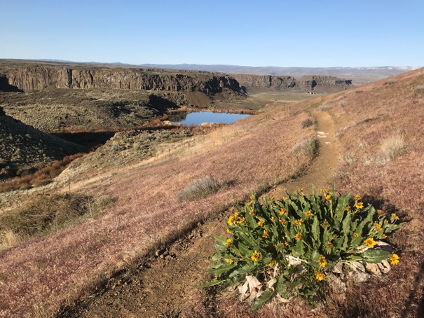
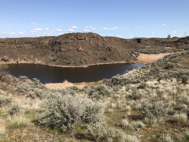
One of the Ancient Lakes
Trail dropping down to Judith Pool
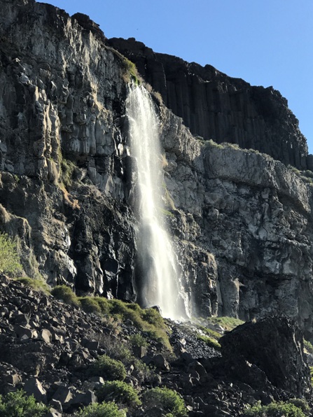
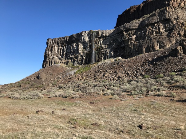
Waterfall between Judith Pool and Ancient Lakes
Waterfall in the Ancient Lakes Basin
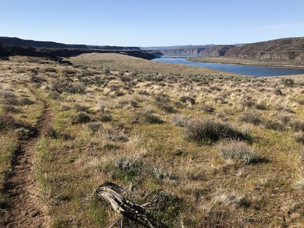
Hiking Babcock Bench above the Columbia River
Camping at Ancient Lakes
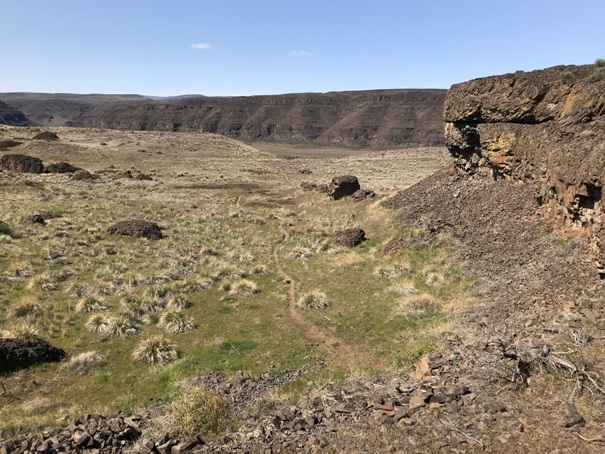
Off trail hiking along Babcock Bench
On the Columbia River where a northern trail ends at Babcock Bench
In the area of Dot, Crystal, Cliff, Cascade and Spring Lakes.
In the area of Dot, Crystal, Cliff, Cascade and Spring Lakes.
Hiking out of the Columbia River
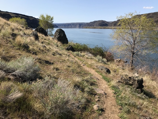
Hiking along the Columbia River
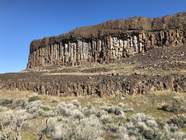
Lots of interesting cliffs
View up the Columbia River
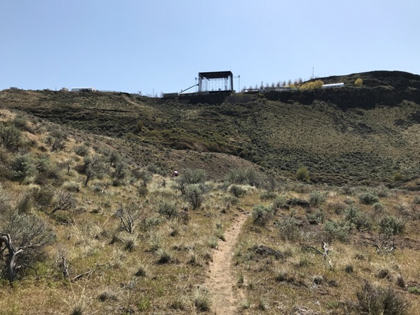
Hiking under the Columbia Gorge Amphitheatre
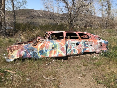
A car at the beach below the Columbia Gorge Amphitheatre
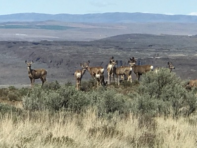
Lots of deer in the area


