Peterman Hill Trails and Highpoints
HOME
Highpoint: Cottlers Rock/Shelton Benchmark
Elevation: 2,760 feet
Prominence: 1,440 feet
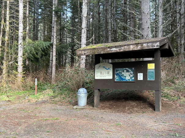
This is the largest unit of the Cowlitz State Wildlife Area, owned by Tacoma Power. This area is managed by WDFW as wildlife mitigation for the Mayfield and Mossyrock dams along the Cowlitz River. There are many miles of trails open to hikers, mountain bikes and horse riders. It is also popular for hunting in the fall. It is easy to string together trails and form loops. There are maps on the Kisok boards throughout the road system. I have one on this page as well but things could change as logging is part of the management plan here.
The local names are very confusing here. The highpoint is called Cottlers Rock but the actual rock location is 0.8 miles north of the highpoint. Depending on the map, the label Cotters Rock can be found in both locations. The location may have also been called Riffe Hill, although this may have been a lower point to the west. A final name is Peterman Hill or Peterman Ridge. This name was another local name. In the 1950s, the area was known as the Peterman Hill Tree Farm owned by the West Tacoma Newsprint Company.
WillhiteWeb.com
Shelton Benchmark on Peterman Hill
Described by the Coast and Geodetic Survey in 1946, they said the bronze disk was set in a square block of concrete flush with the ground about 150 feet south southeast of a saw mill, and about 30 feet east northeast of a spar pole anchor post. Why would a saw mill be at the top of this hill you might ask, a good question and the only time I have ever come across anything similar just happens to be a 1942 AWS document describing the summit of the next nearby mountain (Fling Mountain) saying the exact same thing, that a Tie Mill was on top of that mountain. Two saw mills on these two hills that divide the valley. I would love to know more about that.
Note:
Rayonier Timber owns some of the adjacent land and access is by permit only. They have gated and signed their roads. Hunters who purchased the permits will be upset to find you there.
Access:
Located about 5.8 miles west of Morton on Highway 12 just past mile marker 94. Take Highland Valley Road. Just after this turn is a 4 way intersection, continue straight on Peterman Hill Road. Follow this to the trailhead. Gate might be open past the trailhead to get you deeper into the trail system if you prefer.
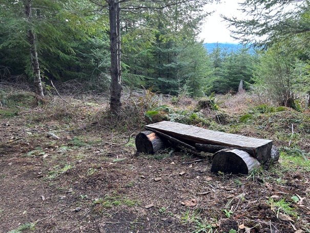
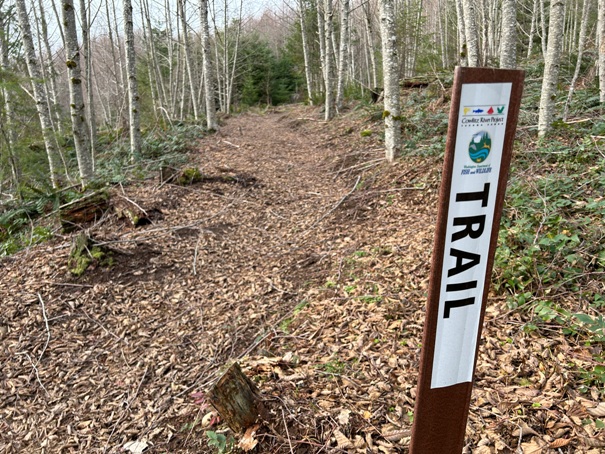
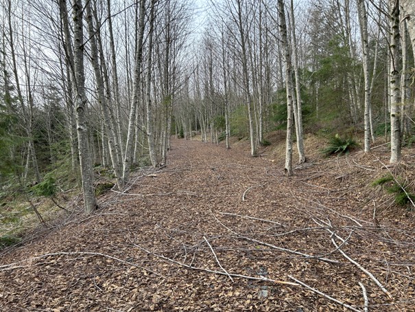
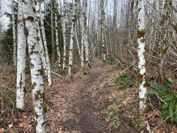
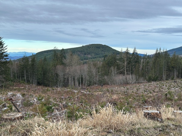
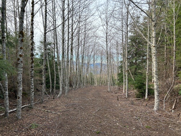
View of Mt. St. Helens if weather was better
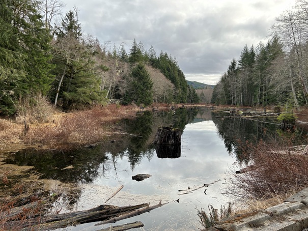
The Pond
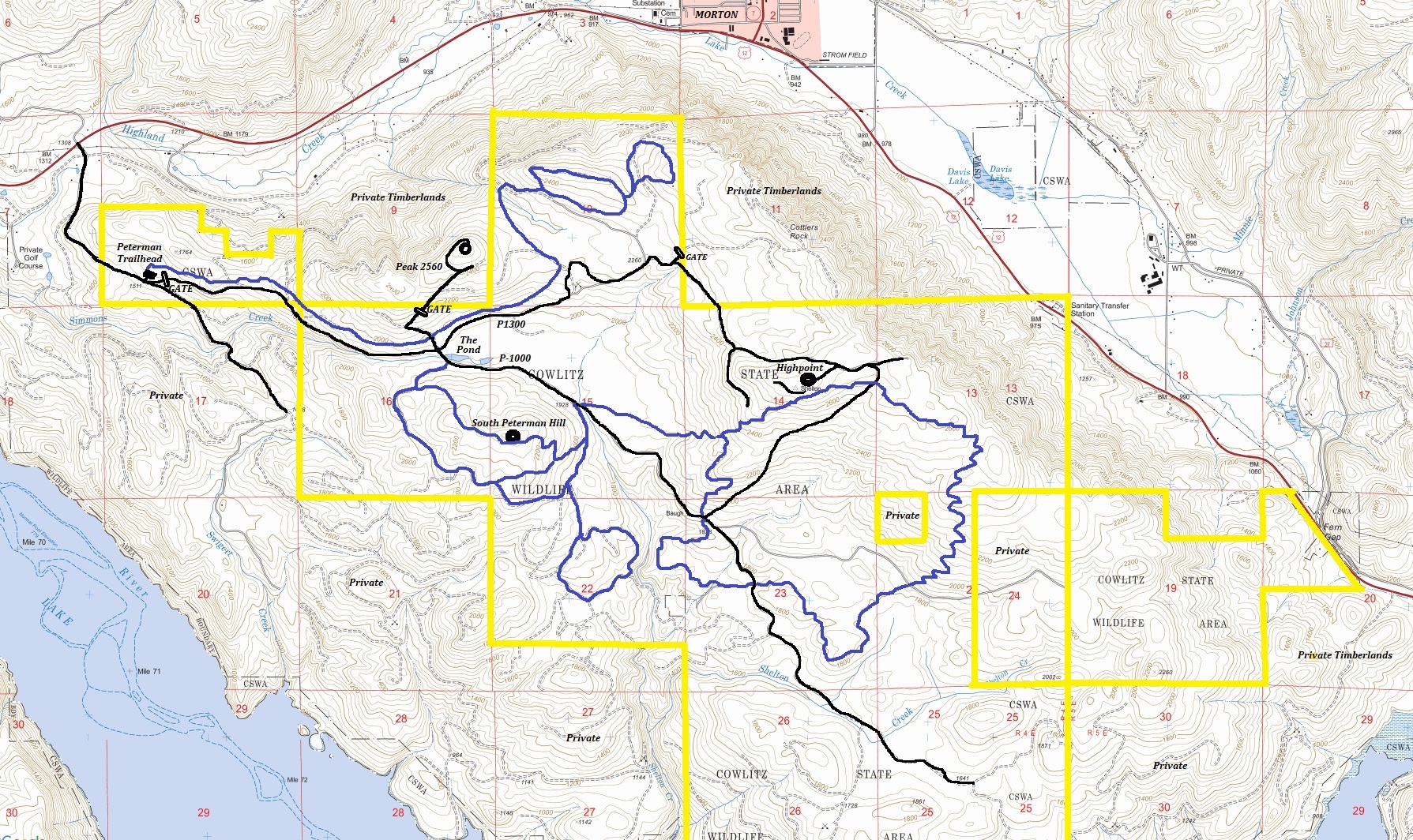
Peak 2560
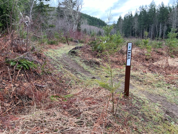
Going through a clearcut
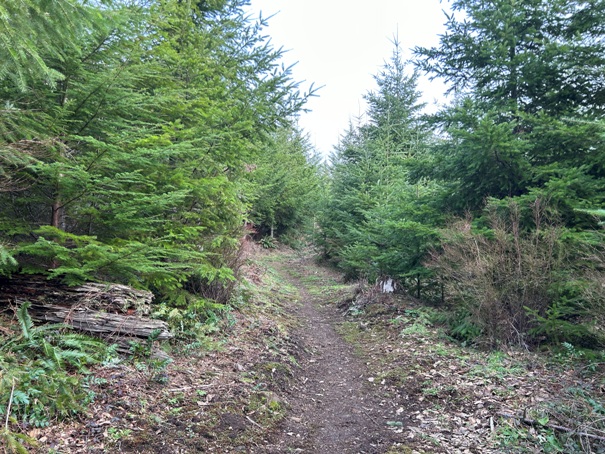
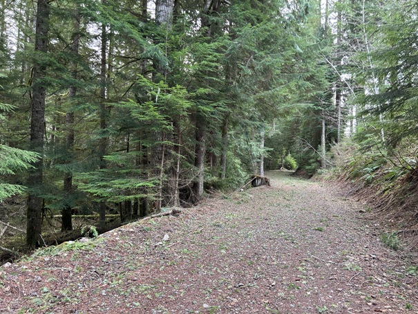
Trail along old gated road
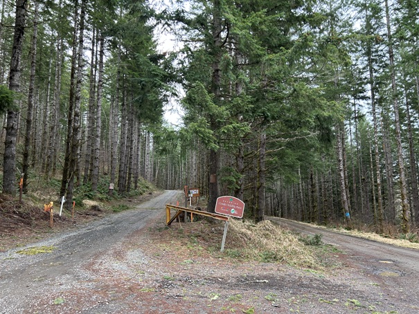
Y at the trailhead parking area
Up near the highpoint


