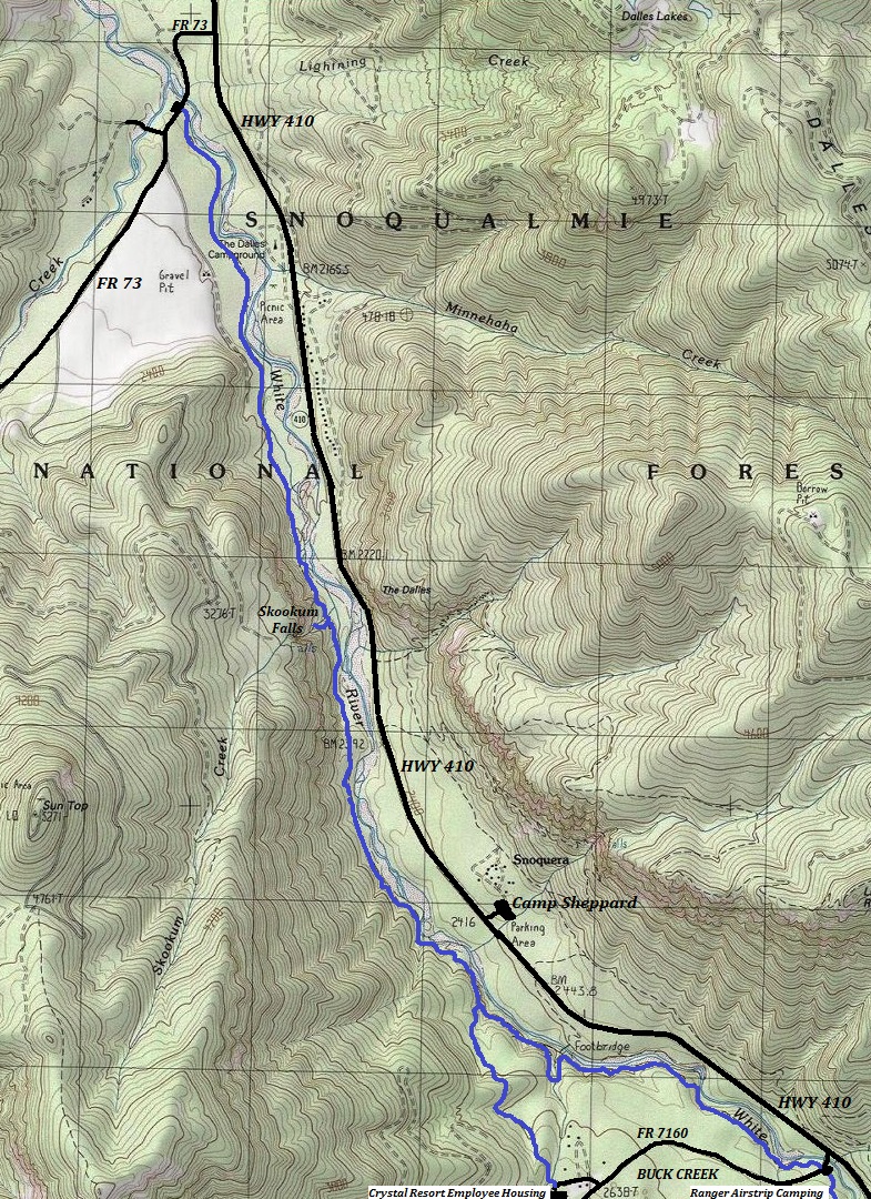
This is a river valley hike that is best known for easy walking, big trees, covered mossy forests, and Skookum Falls. The falls are best in early spring. Along the way are many spots to get out onto the White River. The quickest route to the waterfall is from the North trailhead. It is 2.1 miles.
WillhiteWeb.com
Hiking Distance: 6 miles each-way
Elevation Gain: Just some minor ups and downs
Access: Any vehicle
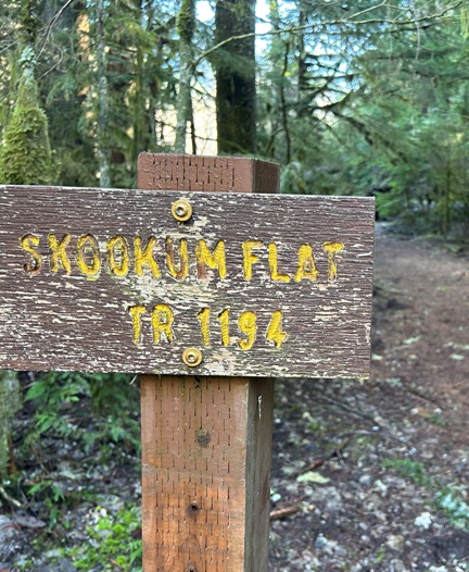
Skookum Flat Trail and Skookum Falls
If you want a long hike, a 12.8 mile trip can be done by hiking south and doing a loop near the end that takes a spur trail up to a church camp that houses Crystal Mountain Ski Area employees during the winter (see map). The trail also continues past Buck Creek Road all the way to the National Park Boundary, another mile or so.
Take a longer hike:
I rode this trail back in the 1990s so I thought this was a popular biking trail. Although biking is allowed, it looked like a terrible trail to bike and I saw no evidence of bikers.
Mountain Biking:
Take Highway 410 from Enumclaw 24.8 miles to Huckleberry Creek Road #73. Turn right onto Road #73 and follow 0.4 mile to trailhead just past bridge.
North Trailhead:
Another access point is to stay on Highway 410 for another 5.1 miles to Buck Creek Road #7160. Turn right, cross bridge and find trailhead.
South Trailhead:
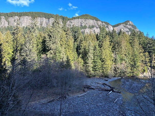
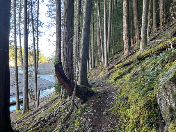
Looking up the White River
The Palisades on Dalles Ridge
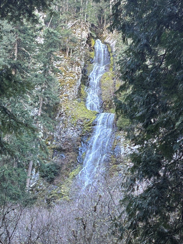
Skookum Falls from the trail
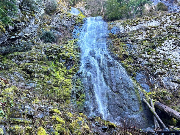
Skookum Falls from the steep spur trail up the the lower section
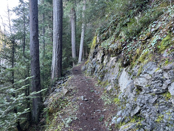
Trail blasted through rock
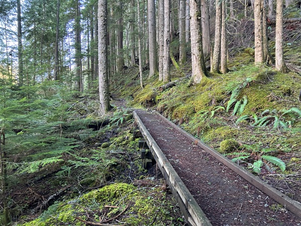
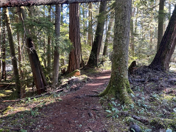
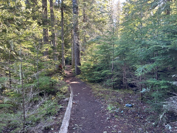
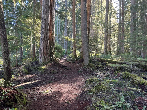
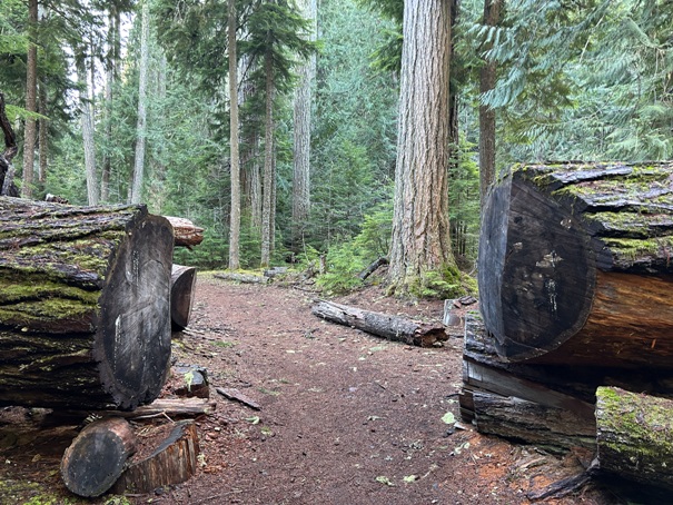
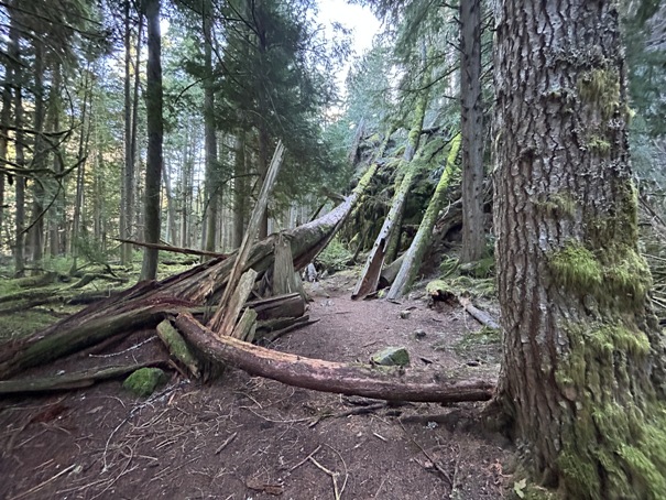
Big timber
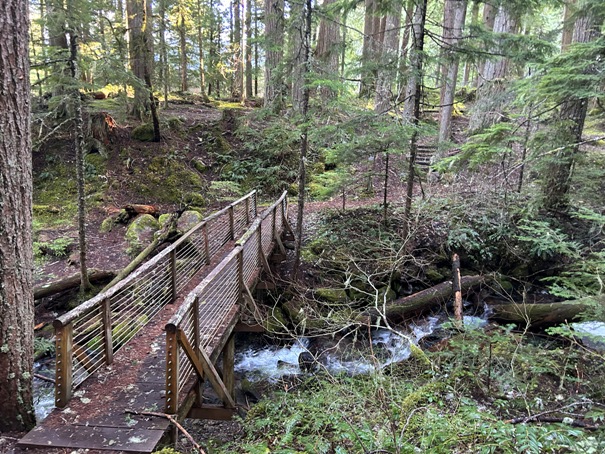
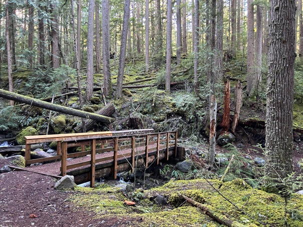
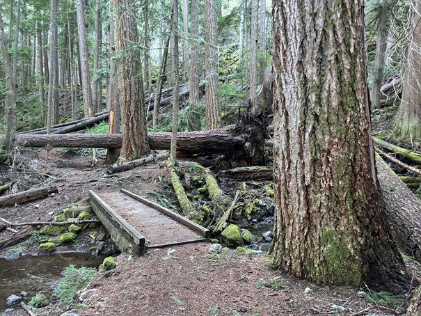
Bridge near the Church Camp
Bridge at the waterfall
Bridge near Buck Creek area
There are lots of trails on the other side of the river and road but this is the main trail on the west side of Highway 410. A loop can be made at the south end but does require walking a bit of forest road.


