WillhiteWeb.com
Huckleberry Ridge North
There are far too many Huckleberry Ridges in Washington. On Highway 410 out of Greenwater, there is a Huckleberry Ridge on both sides of the highway. This location is accessible from the FR 74 Road and is the far north point of this Huckleberry Ridge. The destination is not very exciting but it does melt out sooner than the rest of the nearby peaks.
Access:
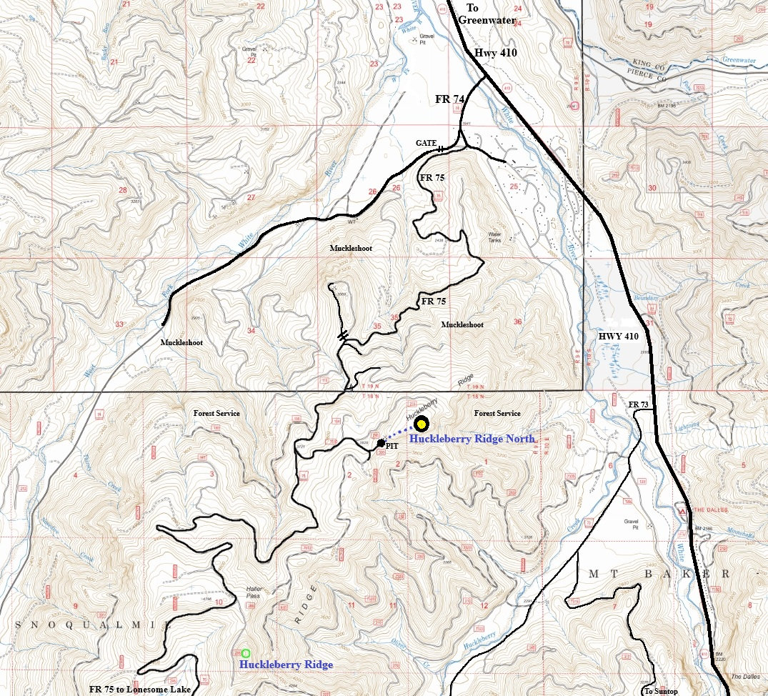
Take FR 74 off Highway 410. Cross the river and soon reach a Y intersection just past the fire station. Go left where a sign might say Lonesome Lake. Cross the next intersection and you are on FR 75. This forest road climbs Huckleberry Ridge to Haller Pass and eventually to Lonesome Lake at the edge of Mt. Rainier National Park. Use map provided and your phone app to get you to the intersection with FR 7510. Take this left and work up to the dead-end at a quarry pit.
Elevation: 4,340 feet
Hiking Distance: Under a half mile
Elevation Gain: 300 feet
Prominence: 342 feet
Route:
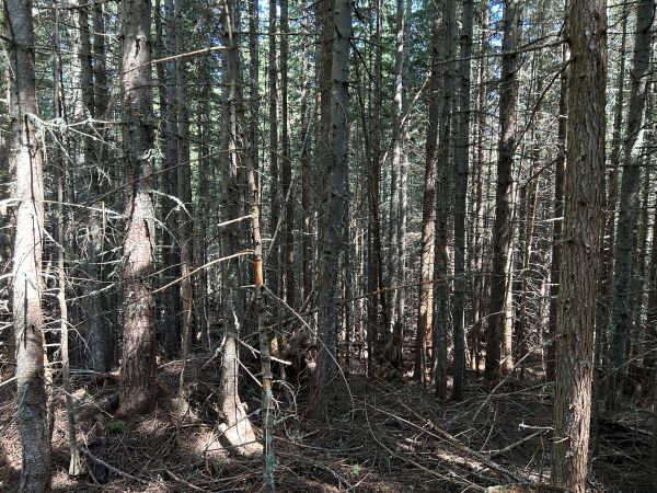
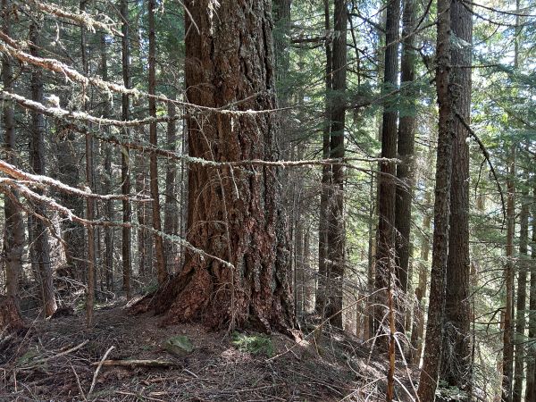
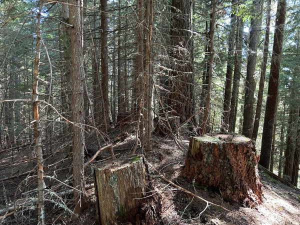
Just hike up the quarry pit road to the top of the pit (assuming nobody is there shooting guns). Go into the forest and walk the ridge uphill until you reach the highest point where there are a few really old trees. There is also a view from the false summit on the ridgeline.
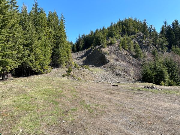

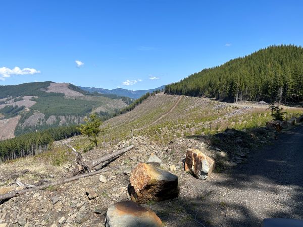

Starting at the rock quarry.
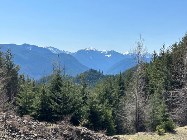
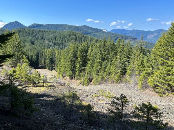
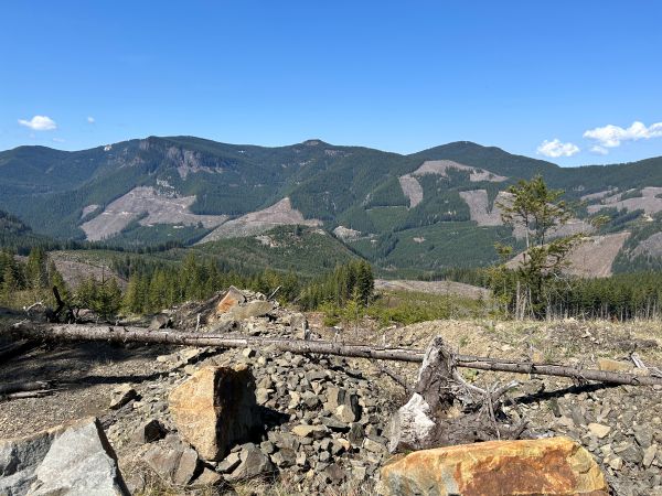
Views from the top of the rock quarry.
Views from the top of the rock quarry.
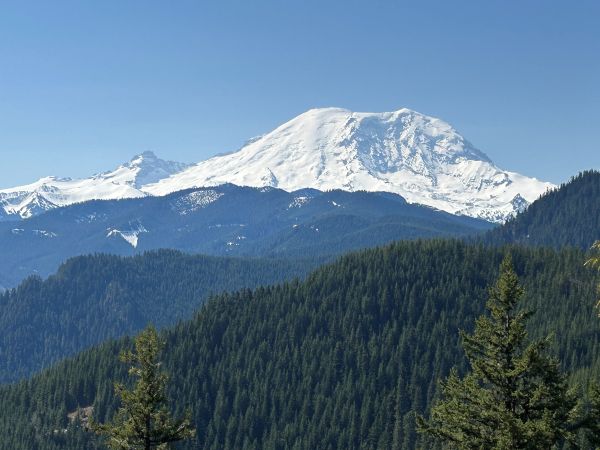
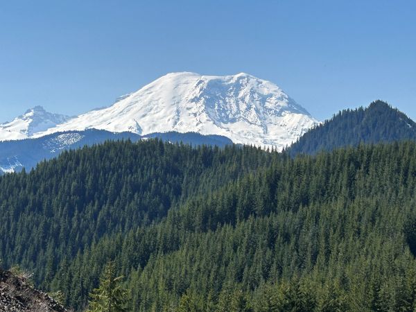
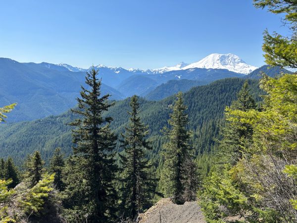
Mt. Rainier from the false summit.
Mt. Rainier from the false summit.
False summit views.
False summit views.
On the ridge near the summit.
False summit area on the ridge.
Summit
Summit
Views on way down from Forest Service Road 75.
Views on way down from Forest Service Road 75.


