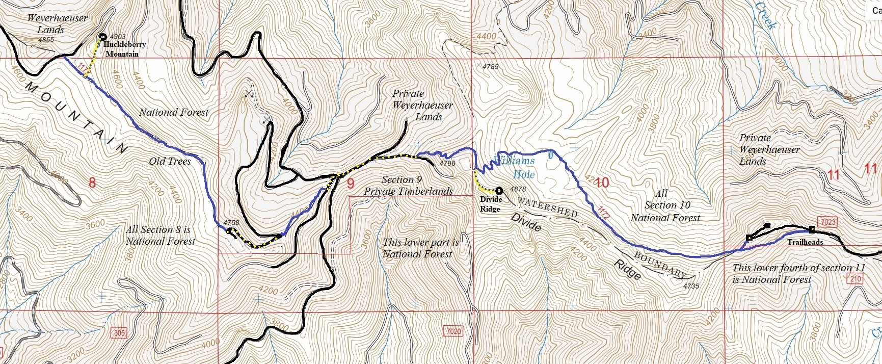
The Divide Ridge Trail is a surviving remnant of a longer trail that once spanned many miles along the ridge from Huckleberry Mountain to Kelly Butte and Colquhoun Peak. Checkerboard landownership from the railroad land grants over 100 years ago have now left pockets of old timber in this tree farm country. The Forest Service still owns a surprising amount of land along this ridge and hopefully the older timber will never be disturbed. This section of the Divide Trail takes in some of the best surviving forest. Starting from the east, making Huckleberry Mountain a destination at the 4 mile mark is a good hike. The trail actually continues beyond another 4 miles utilizing roads to reach the Christoff Trail and the Grass Mt. Trail. In this first four miles, you will pass under Divide Ridge as the trail makes a drop down to visit Williams Hole. It then climbs back up to the ridgetop and hits some short sections of logging road and new trail before going back into old forest for the rest of the hike to Huckleberry (see route below).
WillhiteWeb.com
Divide Ridge Trail (Divide Ridge Highpoint and Huckleberry Mountain)
Huckleberry Mountain
This long ridge has numerous summits, but the highest is closer to the east end, at 4,903 feet. The summit is just inside Weyerhaeuser lands and has a road to the summit. Approaching from the East, Huckleberry can be reached by an enjoyable trail and off trail walk through old-growth that only hits the road at the summit. Luckily, there is a large open area at the top allowing for expansive views.
Hiking Distance: 4 miles
Elevation Gain: Maybe 1,500 feet as there are ups and downs.
Elevation: 4,903 feet
Prominence: 743 feet
Access can vary but a sure way is from the East. From Greenwater, take FR 70 for 8.1 miles to FR 7030 also known as Whistler Creek Road Once reaching the ridge, take ridge roads to the West until they end at Forest Service lands (FR 7030, 7032, 310). As of 2023, there has been recent logging at this trailhead area by Weyerhaeuser which has opened expansive views. There are 2 places to park and access the trail; neither is marked with signs, the lower access is 0.2 miles longer but most vehicles could reach this one, the upper one has a rougher new road.
Divide Ridge Highpoint
The highest point of Divide Ridge is incredibly rugged. Hidden in the tall trees, this is a very rocky summit with cliffs on most sides. But, there is some super steep slopes on the south side that one can semi safely scramble up narrow draws to reach the summits of these hidden rocky knobs. If you are looking for something a little more spicy on this hike, take a short side scramble up Divide Ridge highpoint.
Elevation: 4,878 feet
Prominence: 638 feet
Access
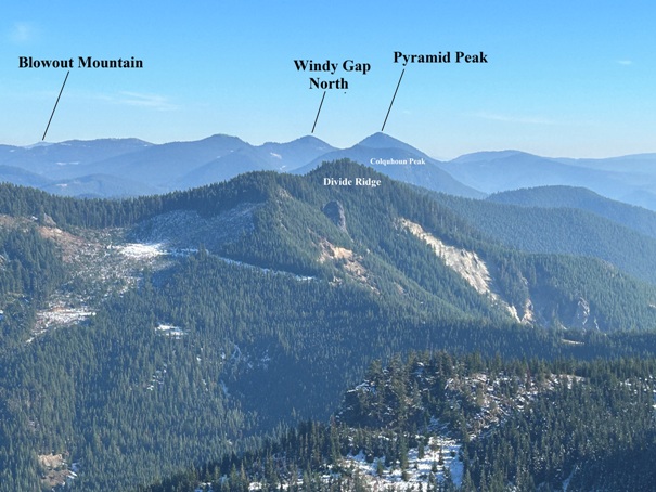
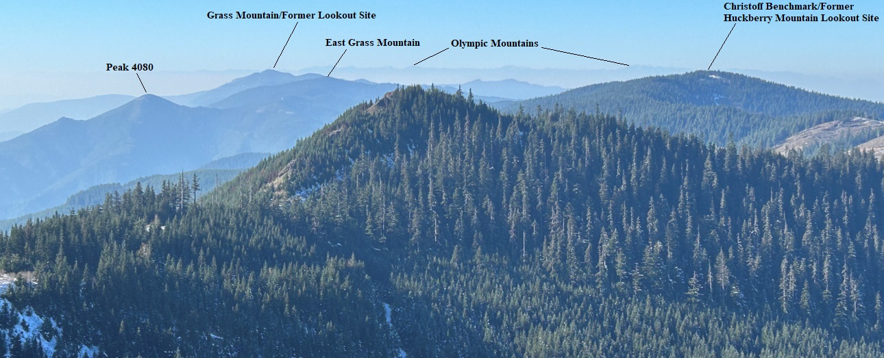
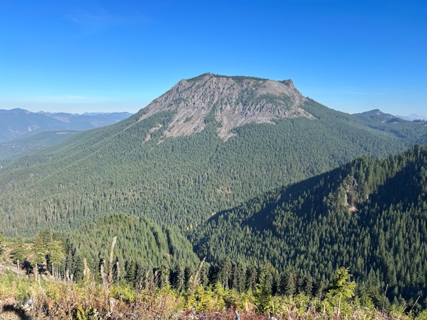
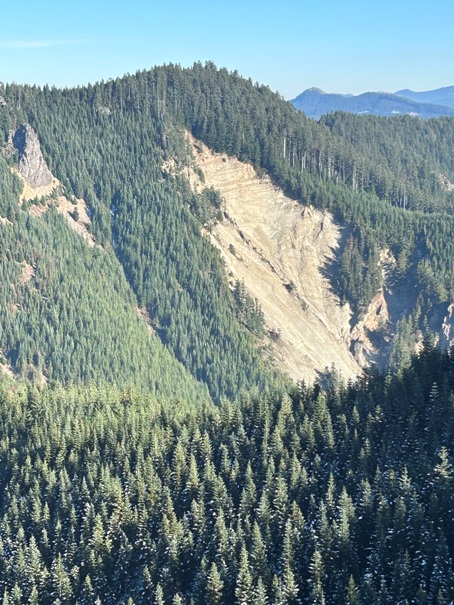

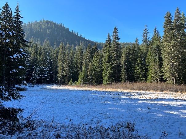
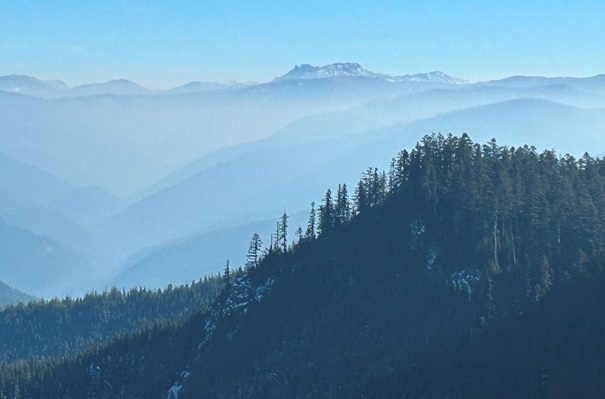
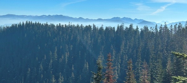
A view from roads on the east end of Huckleberry Mountain
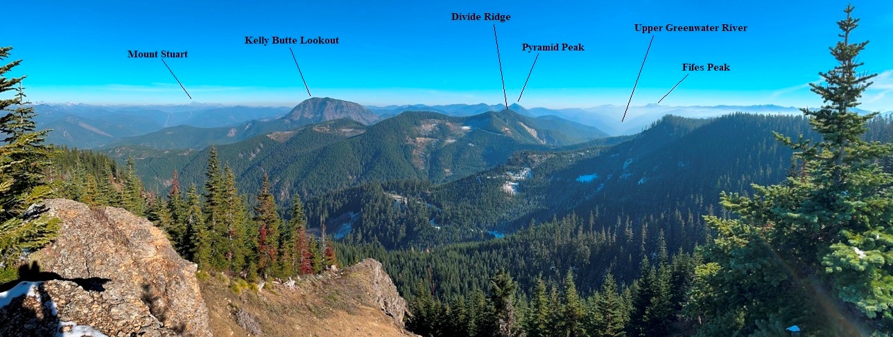
Fifes Peak
Kelly Butte from the lower trailhead (on FR 7023)
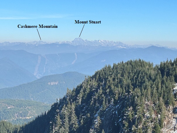
East from Huckleberry Mountain
Panoramic to the East from Huckleberry Mountain
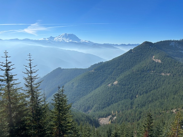
Looking North from the roadwalk between Divide Ridge and Huckleberry Mountain
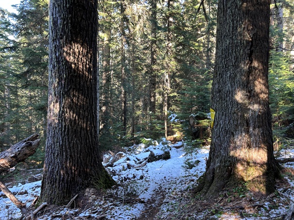
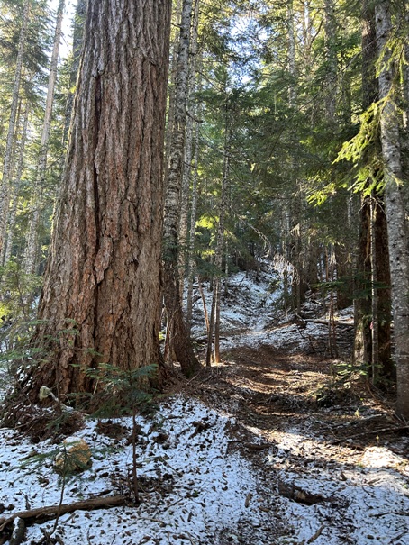
Some big trees on the trail
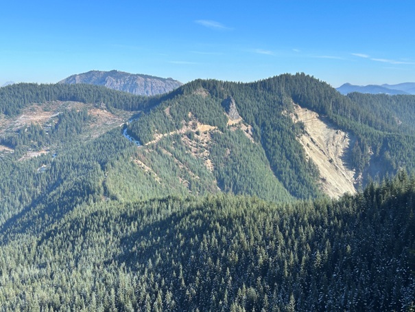
Landslide area on the south side of Divide Ridge
Williams Hole
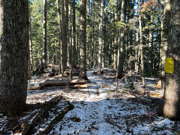
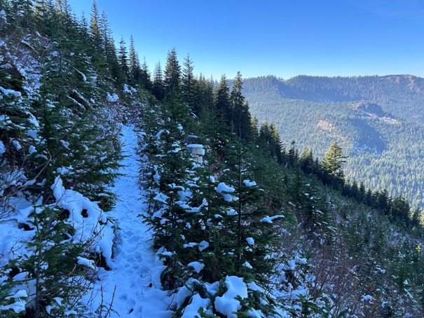
The trail on Divide Ridge on the Weyerhaeuser land


