WillhiteWeb.com
Corral Pass Loop with Mutton Mountain
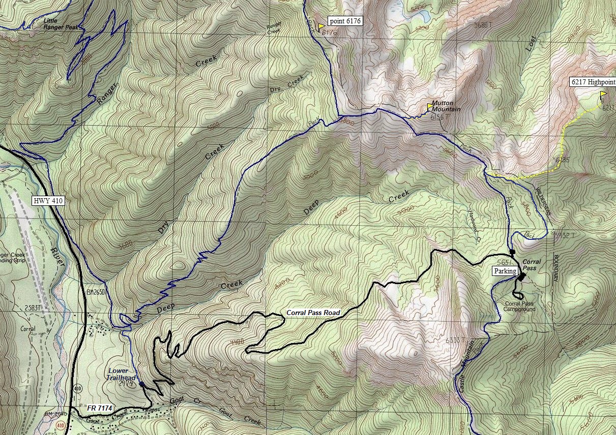
Trails that start at a high elevation are rare in Washington. The Corral Pass Road will take you to 5,650 feet, where views immediately start. There is a campground and several trails branching off in different directions. The easiest hike is to do this simple 2 mile loop. From the north trailhead parking area, the loop starts and ends. Only the lower trail is marked but you can see the upper trail leaving the trailhead too. As the dead trees fall, the views should keep improving. Adding one of the Mutton Mountains to this loop makes for a perfect trip.
Distance: 2 to 5 miles
Summit Elevations: 6,156 and 6,217 feet
Elevation Gain: 400 to 1,000 feet
Access: High clearance vehicle
Mutton Mountains
The map below shows the loop north of Corral Pass. If you want to stay on trails, the best excursion is a climbers trail that ascends the west ridge of Mutton Mountain. For peak 6217 (East Mutton), it is a off-trail route but easy after the fire due to no brush. There is lots of exploring you can do on and around East Mutton.
Access:
For Corral Pass, take Highway 410 for 30.5 miles from Enumclaw. Turn left on road # 7174, follow it through cabins and vacation homes before it becomes a steep forest road. It is about 7 miles to Corral Pass. High clearance is best due to changing road conditons. 4WD best if the road is wet.

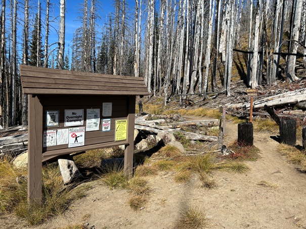
Trailhead
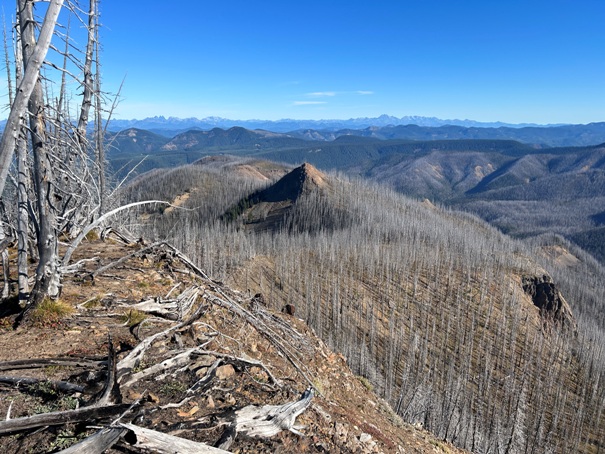
Mutton Mountain ahead
Looking down at Corral Pass with Castle Peak in the distance.
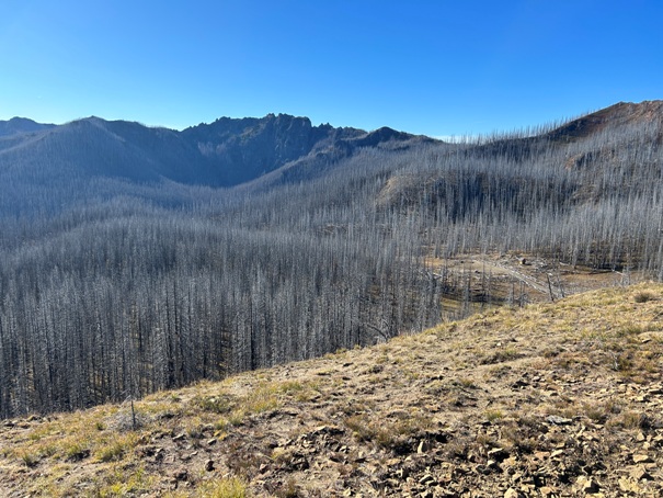
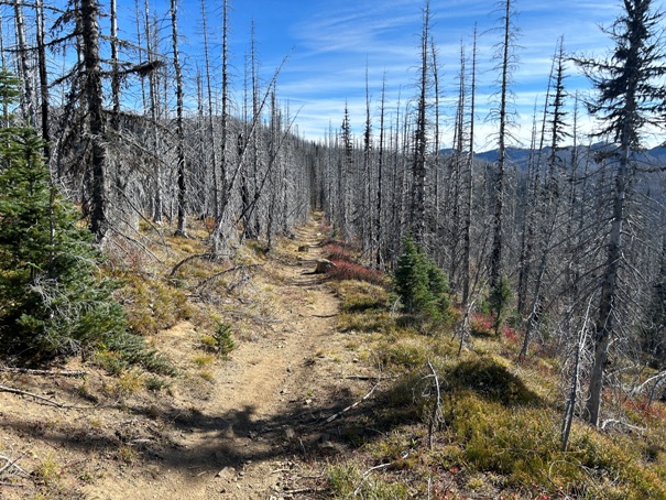
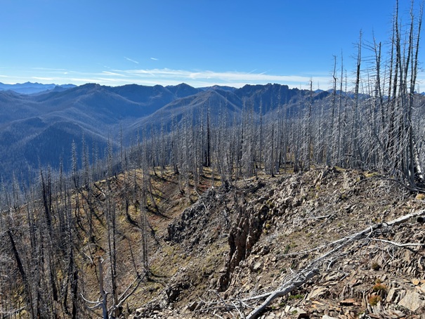
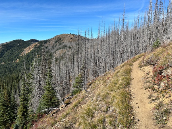
Burn area
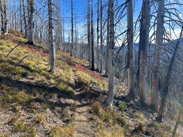
Burn area
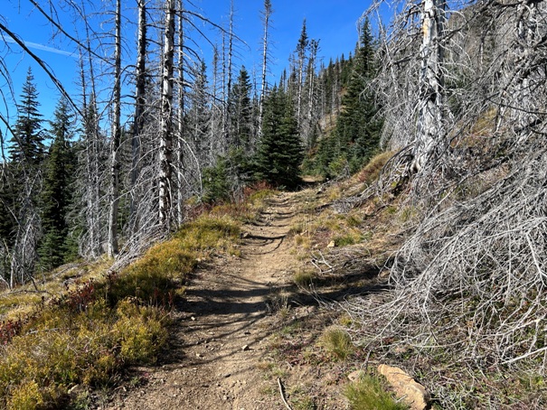
There are small patches were the fire did not burn.
Mutton Mountain
Noble Knob
Point 6176
Noble Knob
West from Point 6217 (East Mutton Mountain)
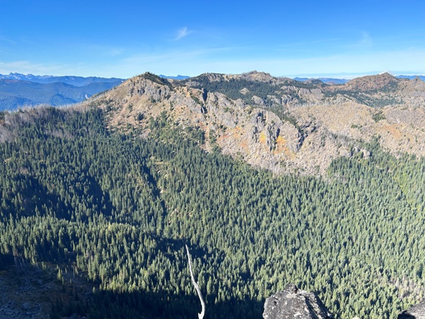
North from Point 6217 (East Mutton Mountain)
South from Point 6217 (East Mutton Mountain)
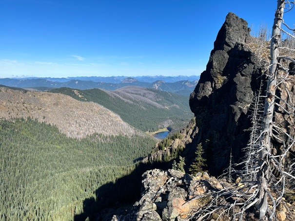
Lost Lake
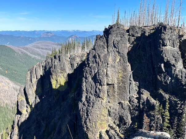
Cliffs on the western side of East Mutton Mountain.
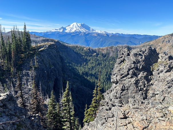
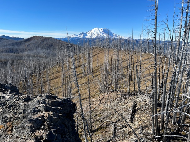
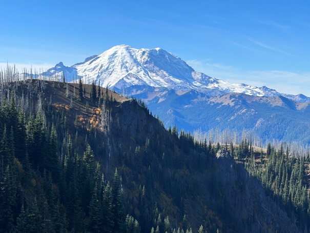
Nearby Mount Rainier
East Mutton Mountain (point 6217) has cliffs on three sides with a flatish summit.
On the traverse over to East Mutton Mountain.
For images from the summit of Mutton Mountain, check this page.
To Noble Knob


