WillhiteWeb.com
Point Christine
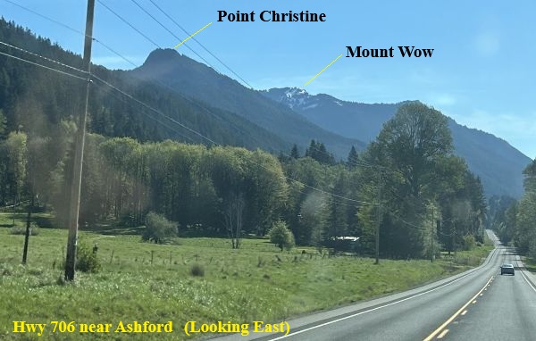
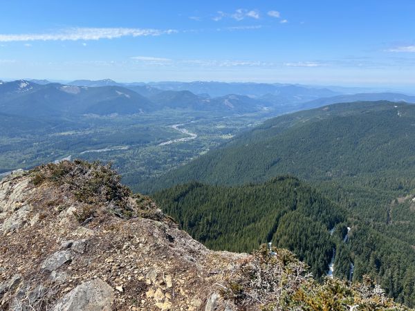
Located above Lake Christine, this rarely visited peak has one of the best views in the Glacier View Wilderness. Although not as high as its neighbors, the summit towers over the Nisqually Valley. It is easy to identify while driving toward the Nisqually Entrance to Mt. Rainier. Standing on the summit, there is a precarious cliff on the west side with slabs on the east, thus ensuring the view with nothing growing at the top. Unfortunately, the view toward Rainier is somewhat blocked by the nearby wilderness highpoint, a good motivation to summit it as well.
Elevation: 5,350 feet
Hiking Distance: One mile from Lake Christine Trailhead
Elevation Gain: 1,000 feet from Lake Christine Trailhead
Access: See notes below
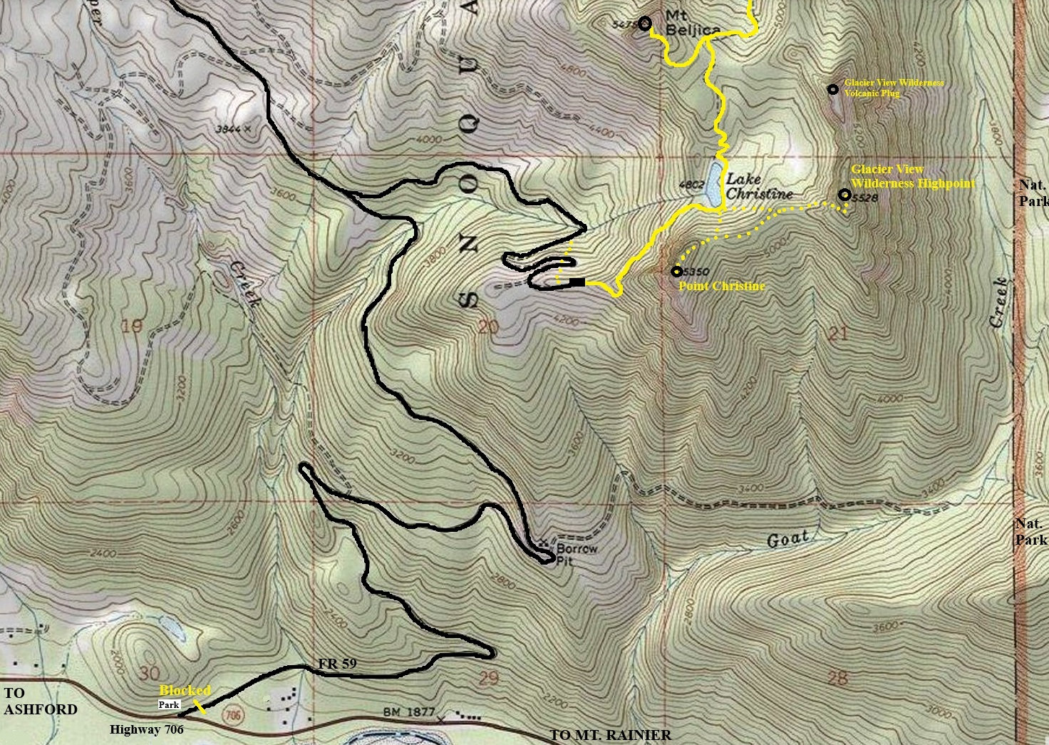
From Tacoma, take State Route 7 to Elbe, then left onto SR 706 to Ashford. Continue 3.8 miles east of Ashford and turn left onto Forest Road 59 (Copper Creek Road). The ROAD is CLOSED at this time due to bad washouts. Biking is possible to the trailhead but has 2,500 feet of climbing. My gut says this access road will never be repaired but things could change.
Access:
Hike the Lake Christine Trail to the lake. On the south side of the lake, go up easy forested terrain to get you onto the ridge NE of the peak. Just follow the ridge up to the summit. No obstacles encountered.
Route:

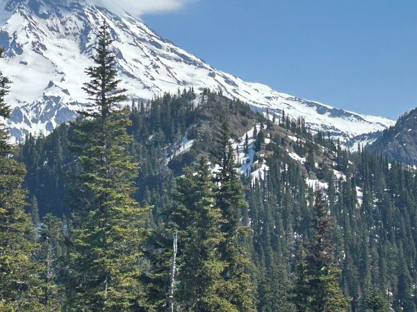


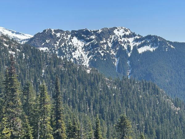
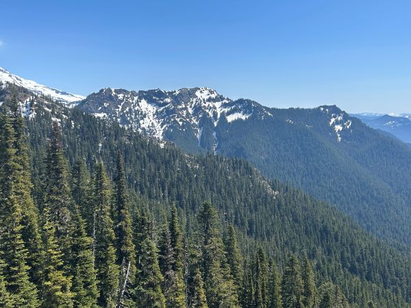
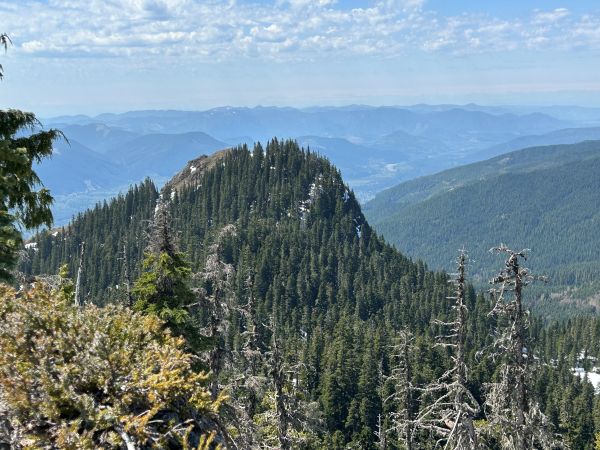
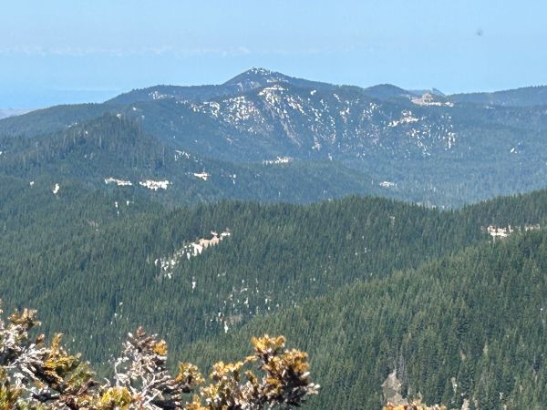

Point Christine from Glacier View Wilderness Highpoint.
Mount Wow
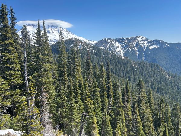
Glacier View Wilderness Highpoint from Point Christine.
Glacier View Wilderness Highpoint from Point Christine.
View west to the Elbe Hills State Forest.
Mount Beljica
Rainier, Glacier View Wilderness Highpoint and Mt. Wow.
Mount Wow
Puyallup Point
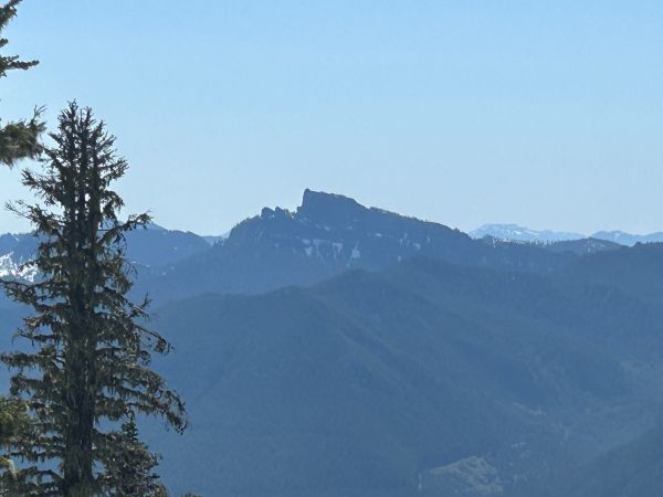
High Rock
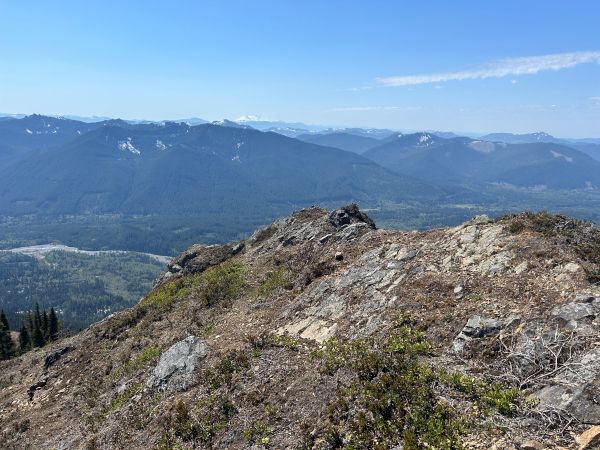
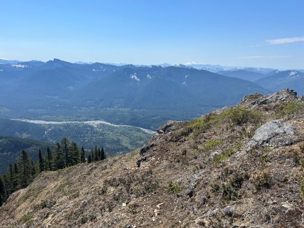
Nisqually Valley around upper Ashford to Skate Creek Road.
Nisqually Valley around Ashford to Elbe.
In route to the Nisqually Entrance of Mt. Rainier National Park.


