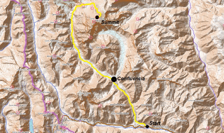
Confluencia Camp
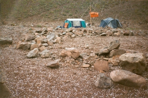
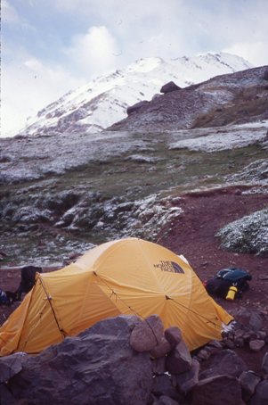
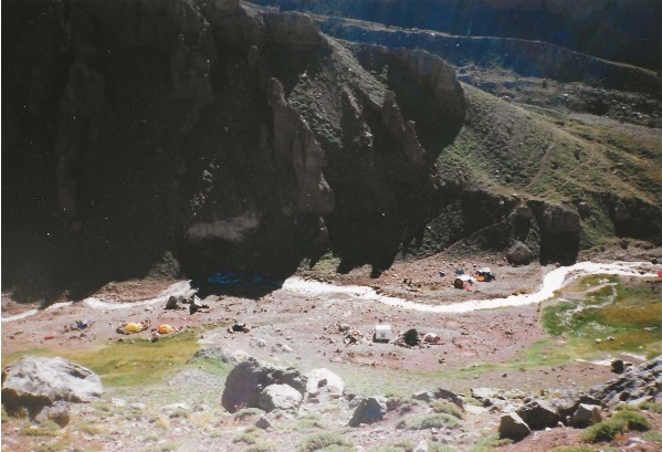
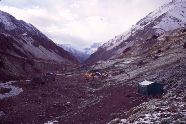
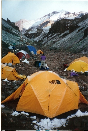
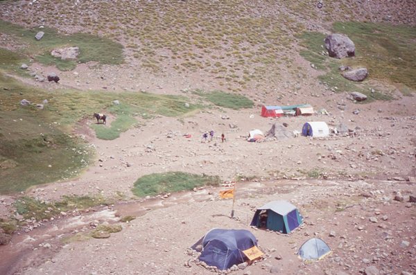
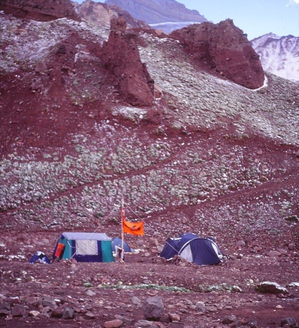
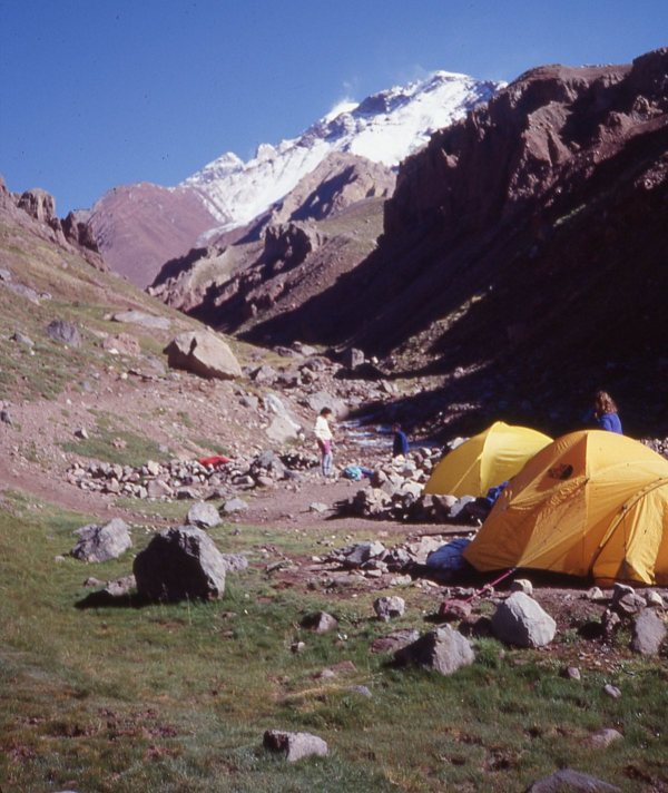
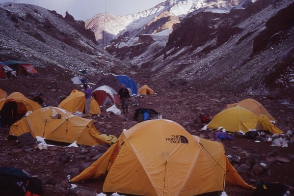
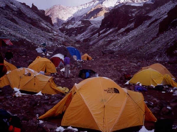
Here at Confluencia, the camp is located in a meadow with water coming down the mountains all around. It is truly beautiful. One must lean backward to see the tops of the mountains. We reached camp around 1:30. Two dogs followed us up the trail from Puente Del Inca, and will not go back. Our first hour here in camp was sunny with clouds. Now it has been hailing for the past 30 minutes with a thunderstorm approaching. We are at 11,050 feet and Bob and I can feel a bit of altitude. The final thing worth mentioning is that there are tents here selling Coca-Cola and hot dogs. When we arrived, there were only 10 or so people in camp. That number is probably up to 25.
Editing Note: The pictures on this page from the hike above the camp were taken on our way out. We had some extra time and energy on the way back and with the good weather, we could not resist getting a few more views in.
WillhiteWeb.com
Day 4
Climbing Aconcagua
Confluencia Camp
(Elevation: 11,050 feet)
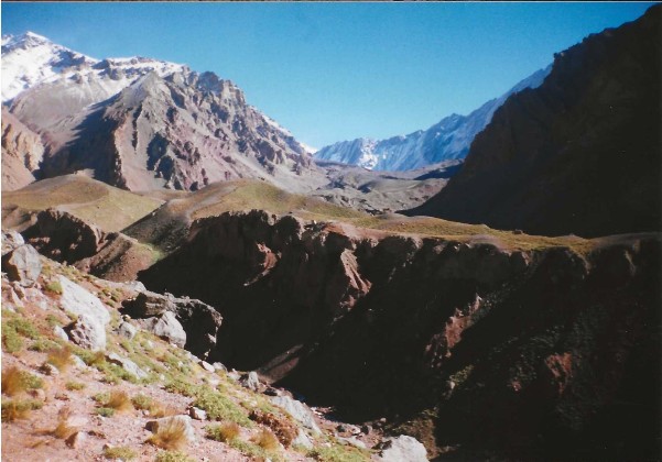
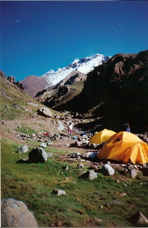
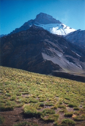
Aconcagua from the hill above Confluencia Camp
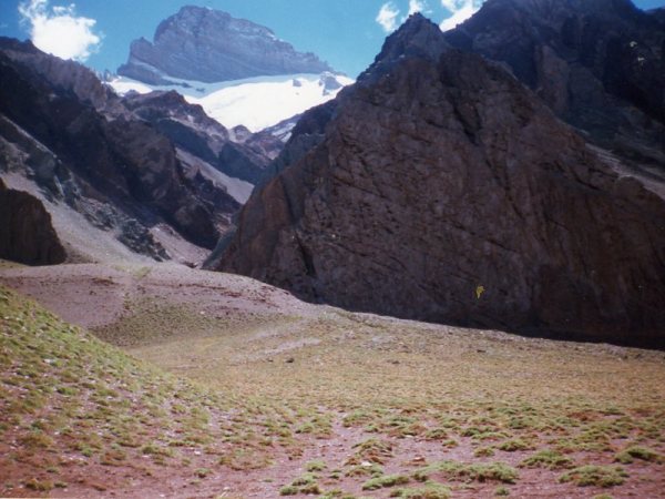
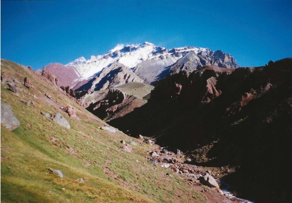
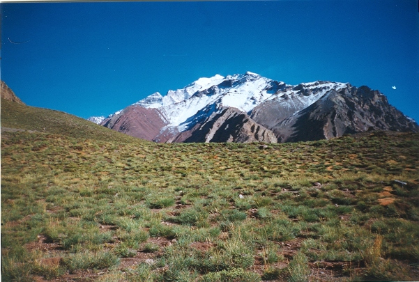
Aconcagua from the hill above Confluencia Camp
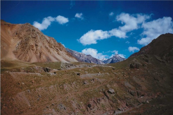
Mountain east of Confluencia Camp
Hail storm
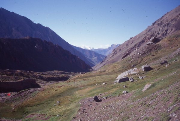
Looking back toward the start from the hill above Confluencia Camp
Mountains to the west of Camp Confluencia.
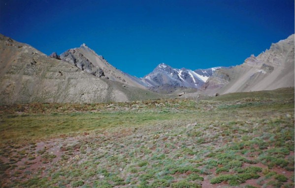
From the hill above camp, looking up the Lower Horcones Valley route that goes to the South Face of Aconcagua.
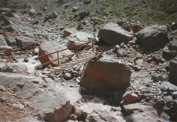
Bridge near Confluencia
From Confluencia, our route goes up this valley.
Looking down at Confluencia Camp from the hillside above.
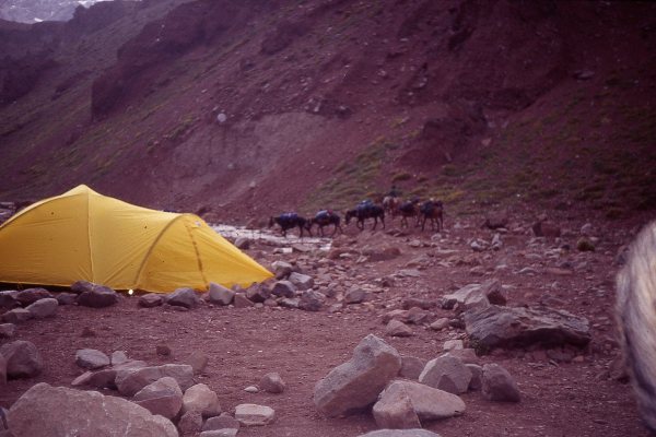
Mules coming into camp.
