

Switchback Lookout Site

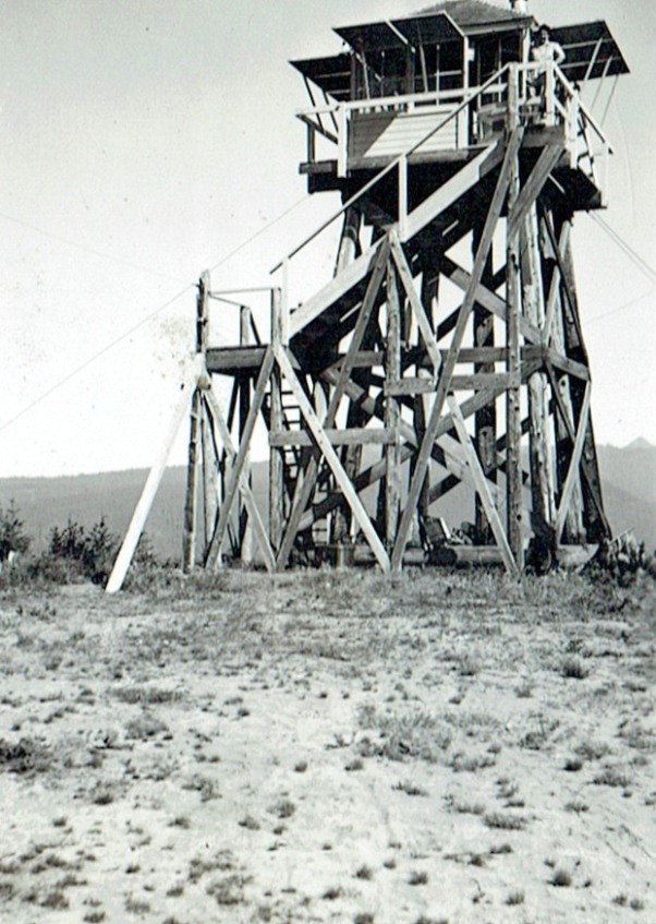
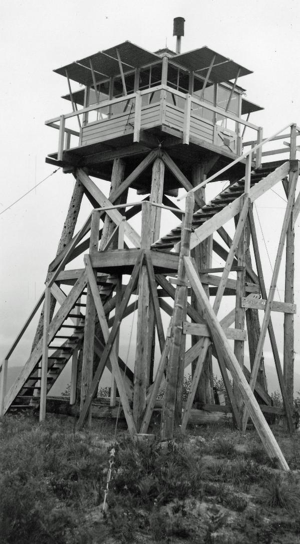
The lookout was built sometime in the 1930s. Aerial photography shows a road in place in the 1930s. Itís not known when the tower was destroyed. Based on images, the cab appears to be on a 20 foot pole tower with stairs added requiring numerous pole supports. The panoramics also were taken on the roof at 20 feet plus 15 feet for the cab.
Access:
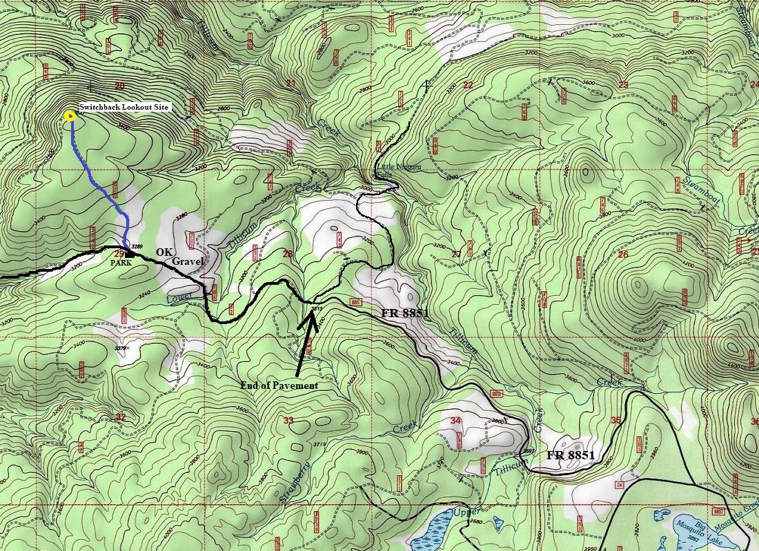
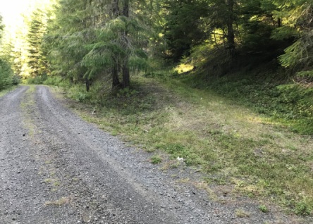
From the Mosquito Lake area, Forest Road 8851 is paved to the intersection for Little Niagara Falls. The final few miles is gravel with some potholes but nothing to keep any vehicle from driving. Keep a sharp eye out for the final (hiking) road branching right, going uphill. There is room for a few cars to park on both sides of the road.
Lookout Elevation: 3,537 feet
Hiking Distance: One mile
Elevation Gain: 250 feet
Access: Any vehicle
Route
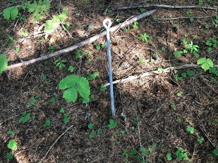
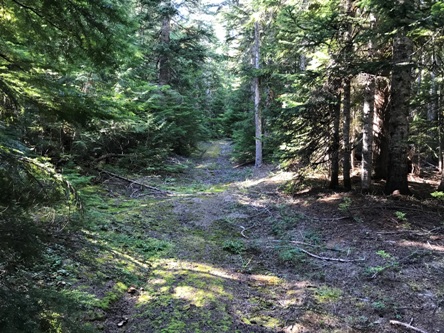
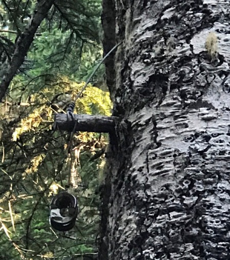
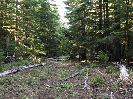
The road has been abandoned, there is a berm at the beginning to prevent vehicles from driving it. During my visit in 2019, the road was easy to walk with just minor brush and windfall in places. The phone line insulators were left in place on the abandoned section of road. You can find them hidden on the largest trees set back in the forest as new trees have grown up between the current road edge and the old road edge. Follow the road until it ends at the top of the steep hillside that drops down to the Lewis River.
WillhiteWeb.com: Fire Lookouts
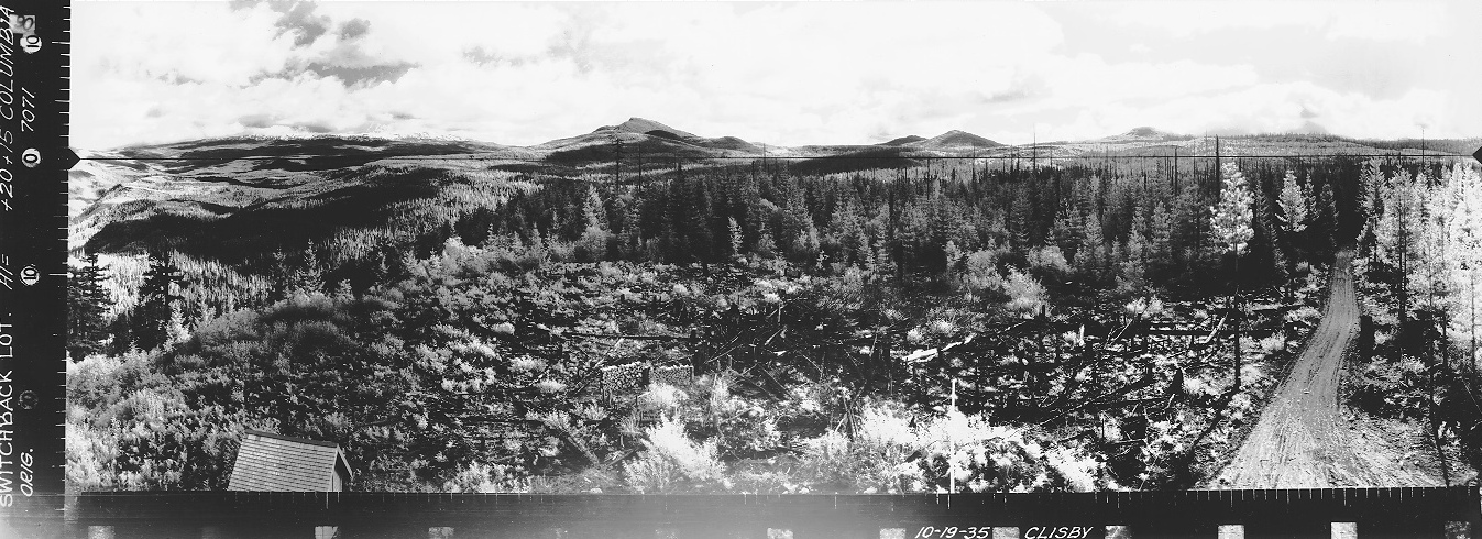
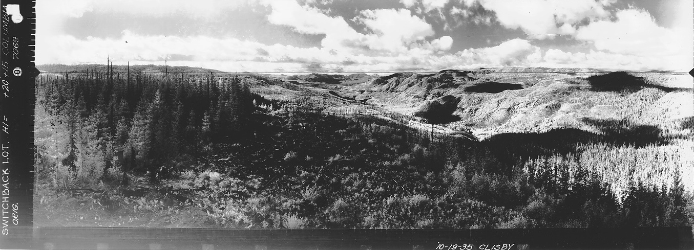
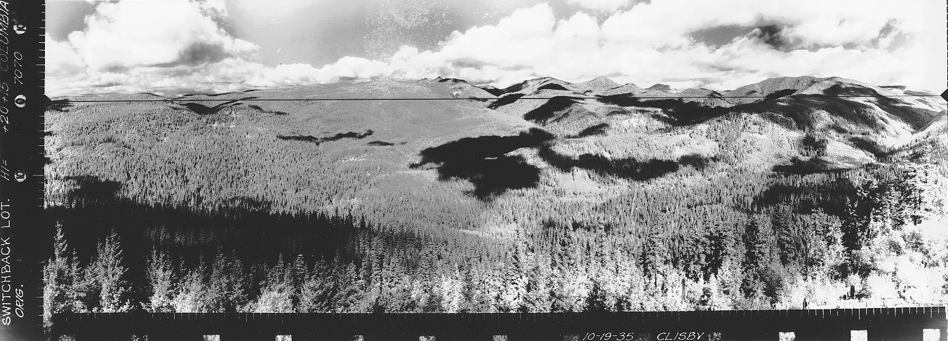
Looking North October 19, 1935
Looking Southwest October 19, 1935
Looking Southeast October 19, 1935

Possibly 1944
Switchback Lookout
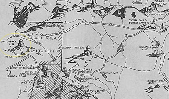
1939 recreation map
Road to Switchback
Road to Switchback
Start of the abandoned road to Switchback
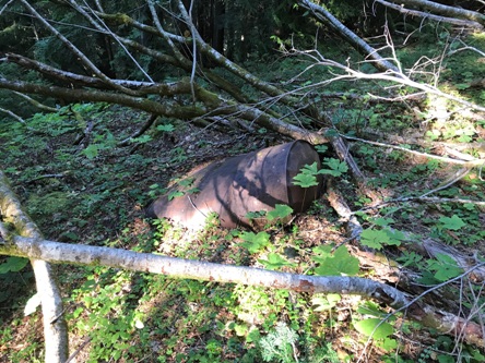
Barrel
Insulator and peg
Left: a intact insulator setup
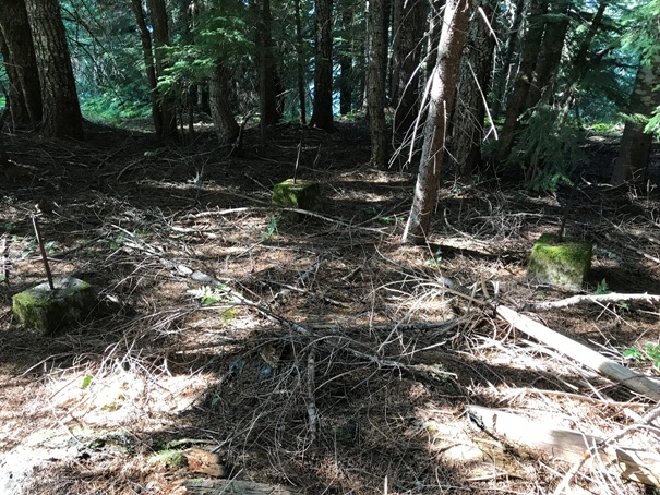
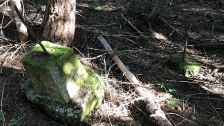
Three of the seven footings
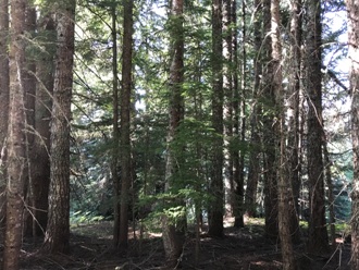
No more views over the Lewis River Valley
Two more footings


