

Sleeping Beauty Lookout

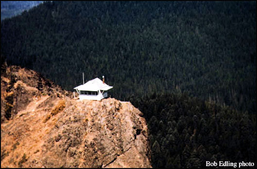
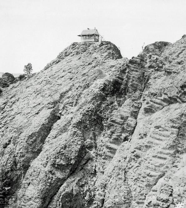
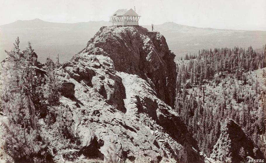
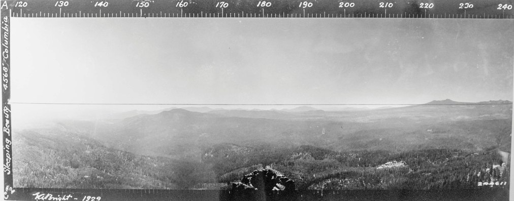
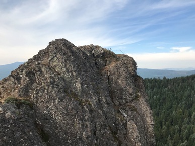
Sleeping Beauty started as a lookout point at an unknown date. Panoramic images were taken in 1929 and there was clearly a weather instrument and other things there. Around 1930, a gable-roof L-4 cab was built. From a story by E.G. Hayes, on January 4, 1931, "It took 11 days to tote the lumber, concrete, glass, etc., via packhorse from a local Glenwood mill to the base of Sleeping Beauty's nose, or her lovely short upper lip 4200 feet above sea level, where a working camp was established (not without difficulties) for the wind plays sudden pranks at that altitude, and everything has to be anchored to the rock. While there is a tortuous foot trail to the top, all material and stores had to be elevated the 350 feet straight up by a 700-foot cable operated by a windlass, and sometimes the best of cables will break or slip. Once, only splinters remained when a haul of 30 pieces of shiplap slithered down the granite rock. Another time a bag of cement fell and blew up and disappeared so completely in a little cloud of its own making that even Sherlock Holmes could have found no trace. During the three weeks that the men occupied this working camp they were visited by inquisitive bears, deer and grouse." (The Sunday Oregonian) Ernie Childs, a Forest Service packer at the time, says the building was pre-cut and packaged by a Portland firm. He transported the bundles to the base-camp and helped winch them to the top. Tony Guler, Louie Jarvis, and Don Williams assembled the building and Williams became the first lookout.
In November 1936, a story was shared by Carlos T. Brown in the publication Six Twenty-Six, "Recently, while on a trip to Sleeping Beauty Lookout in the Mt. Adams District I was surprised to find a large assortment of tree species growing on top of the rock upon which the lookout is located. This rock rises 200 feet above the rest of the terrain. All the supplies for the lookout such as water, food, wood and personal belongings are hoisted from below by cable. Trees found on this rock include specimens of ponderosa, whitebark and western white pine, alpine, grand and Douglas fir, mountain hemlock, dwarf juniper and cottonwood. While these trees are all scrubby, evidence that some trees reach commercial size is shown by a Douglas fir stump approximately 3 1/2 feet in diameter and 6 feet tall now standing on top of the rock. Countless numbers of wild flowers are also found here which form a beautiful flower garden at the back door of the lookout station.
The lookout is said to have still been in use in 1966, but was removed a few years later.
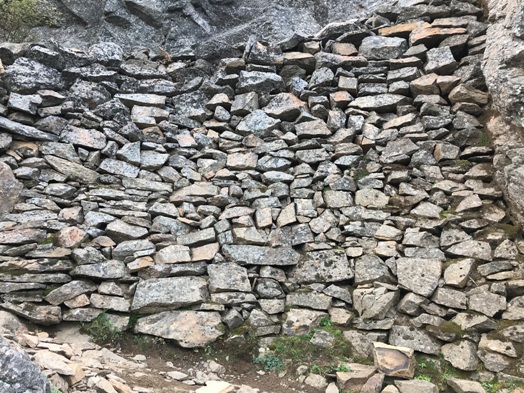
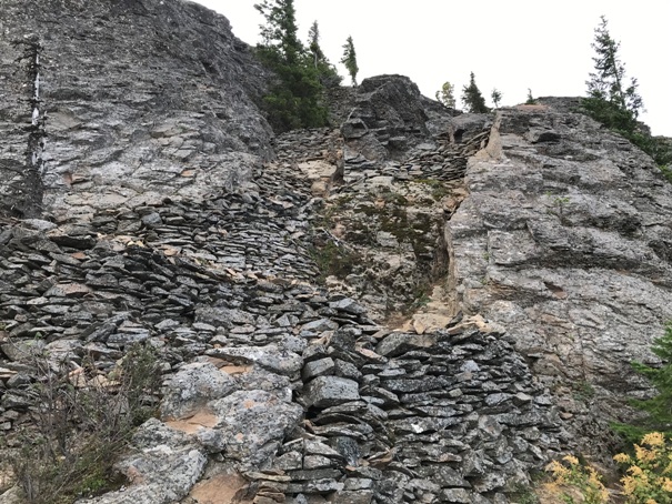
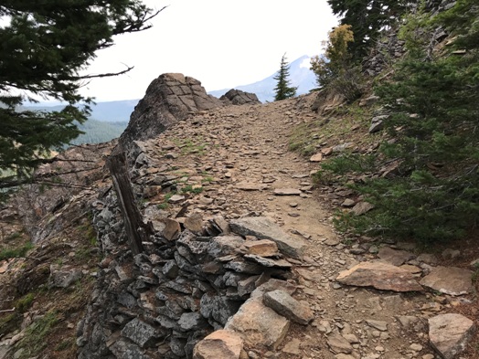
The trail near the top was built up the cliffs with handmade rock walls, some more than 10 feet high. The rocks were carefully fitted together without mortar. Sleeping Beauty got its name from the perspective out of Trout Lake, you can visualize a woman sleeping peacefully on her back.
Access:
From Trout Lake, go west about a mile to Road 88. Turn right going north on 88 for 7 miles. There should be signs at that point.
WillhiteWeb.com
Elevation: 4,907 feet
Hiking Distance: 1.5 miles
Elevation Gain: 1,400 feet
Access: Any car can make it
Route:
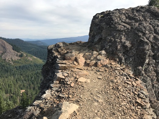
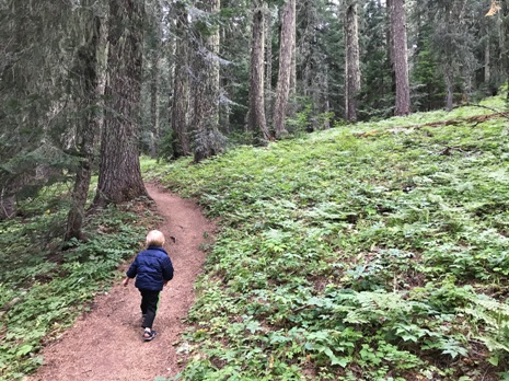
The nice trail climbs steadily up an old forest to the base of the rock. The trail then finds a narrow section of trees to get close the top. The final few switchbacks are amazingly engineered and pretty darn safe considering the terrain.

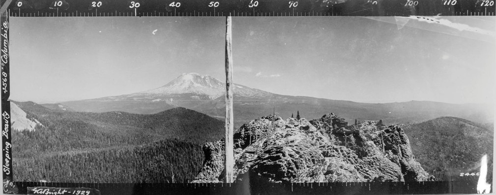
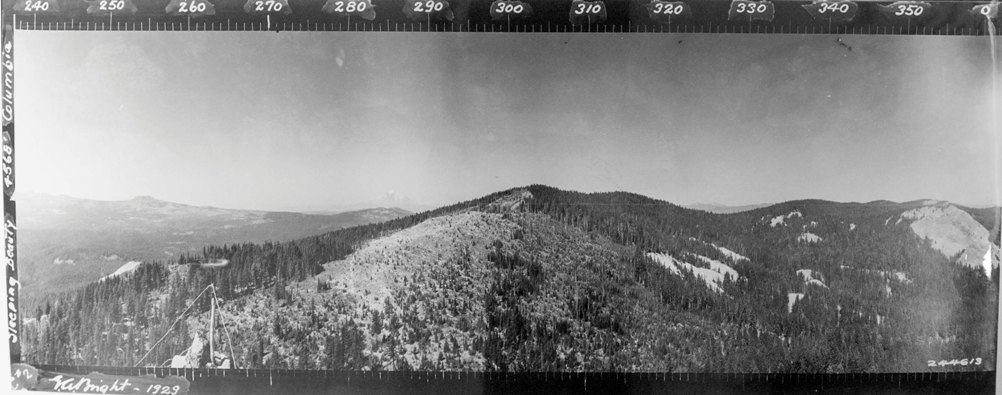
Looking Northeast in 1929
Looking Northwest in 1929
Looking South in 1929
1966
Sleeping Beauty 1944
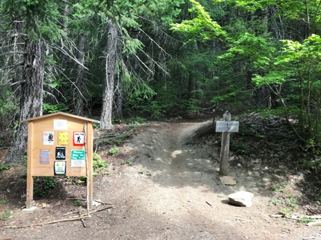
Trailhead
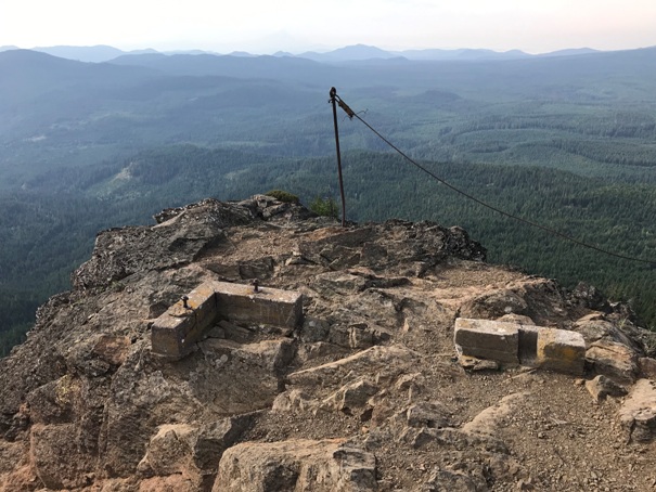
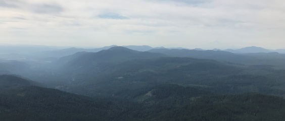
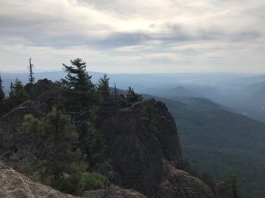
Looking South in 2019
I really wanted to know what this was in the 1929 NW Panoramic so I visited the location on my way back, nothing found, likely a tree patch.
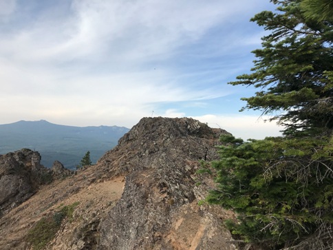
Above: No more lookout
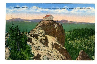
Below: Lookout shown on a postcard
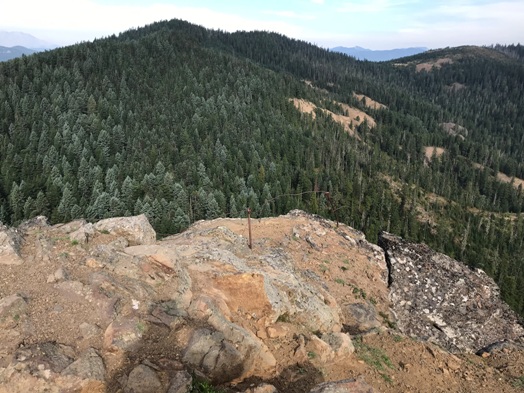
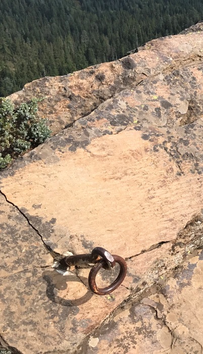
Some anchors near the top that were used for hand lines in a tricky spot
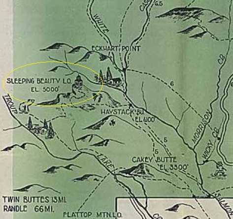
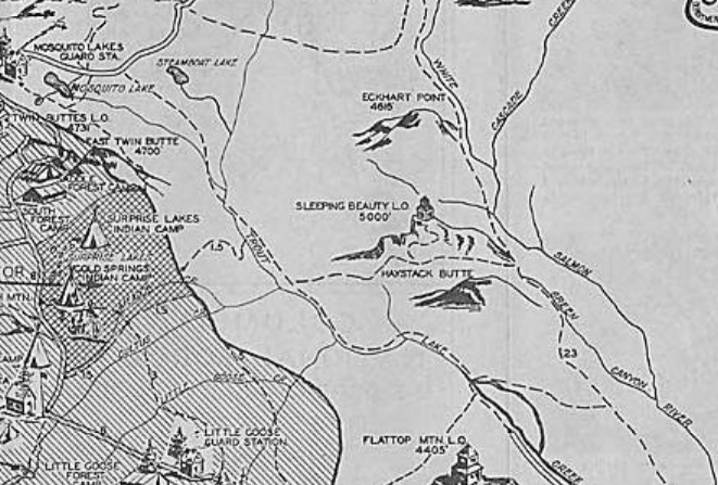
1936 Recreation map
Looking Southeast
1939 Recreation Map
Looking down to where the lower platform was located
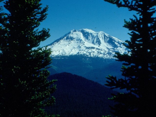
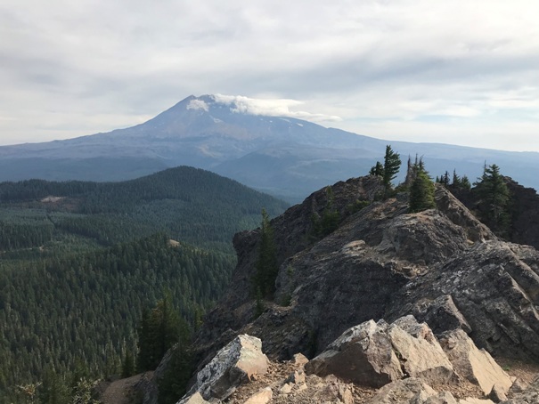
Mount Adams to the East
Footings and foundation still there
Start of the trail made of rocks
Trail switchbacking up the ravine, tread not visible from below
10 foot rock wall built to support a trail
Amazing trail section
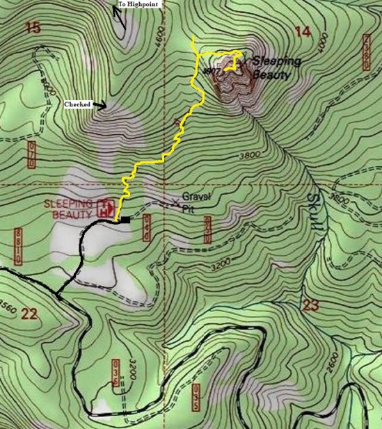
Trail map
Summit with now lookout building
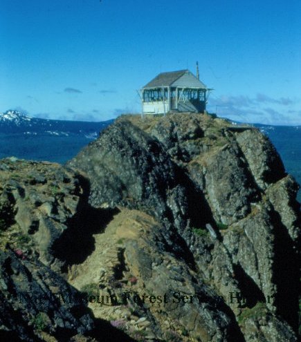
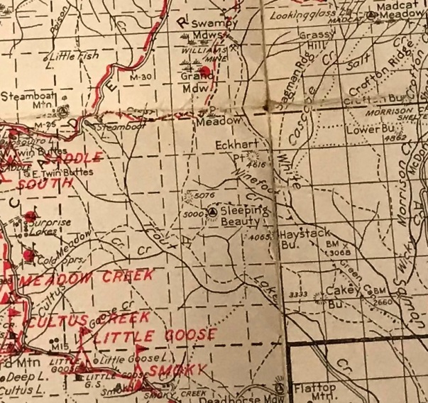
1950
1950
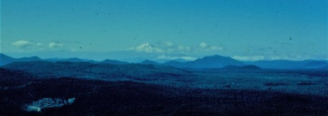
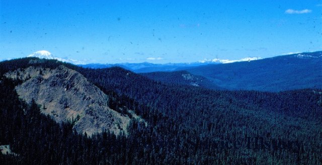
1950 view south
1950 view north
1940 Columbia National Forest


