This location is the highest point in Washington accessible by automobile and many would argue the best scenic vista accessible by vehicle in Washington. But for most Washingtonians, it is a good four hour drive keeping the hordes of people afar.
Elevation: 7,400 feet
Distance: 0.5 miles
Elevation Gain: 1,10 feet
Access: Fair gravel roads, some bumps
WillhiteWeb.com
Access:
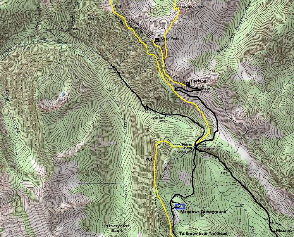
Take Highway 20 west from Winthrop for 15 miles to the Mazama turn (Lost River Road 9140) and follow it 7.5 miles to dirt, then 13 miles to Harts Pass. The road is usually well graded and you will see all types of vehicles make the journey, but it is narrow, windy and has steep side cliffs in places. Washouts and the repairs sometimes cause the road to be rough in places. When you reach Harts Pass, follow signs for Slate Pass.
Route:
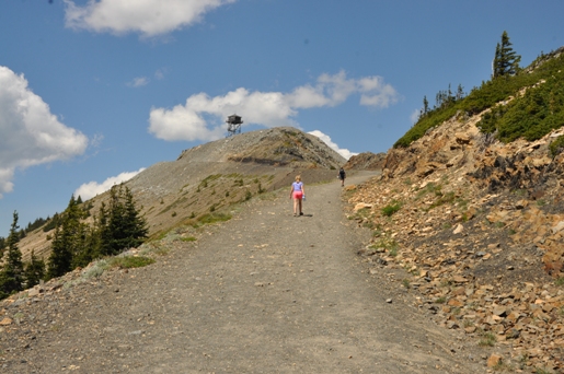
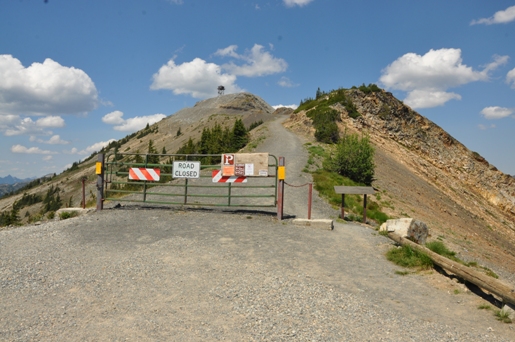
From the parking area, walk the road to the summit.
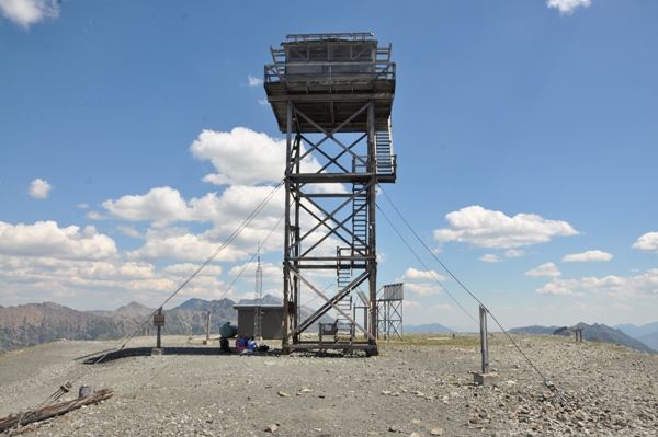
Slate Peak Lookout
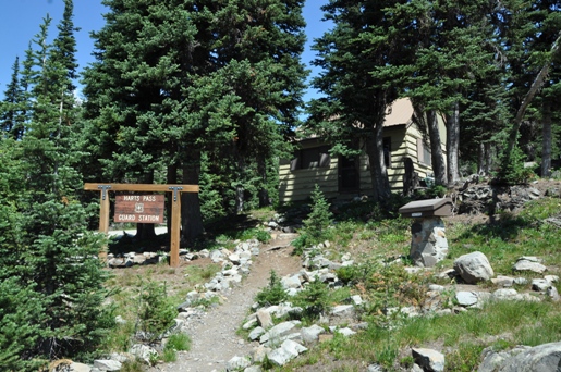
Harts Pass Guard Station in 2018
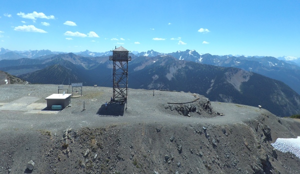
View of the lookout area from the air
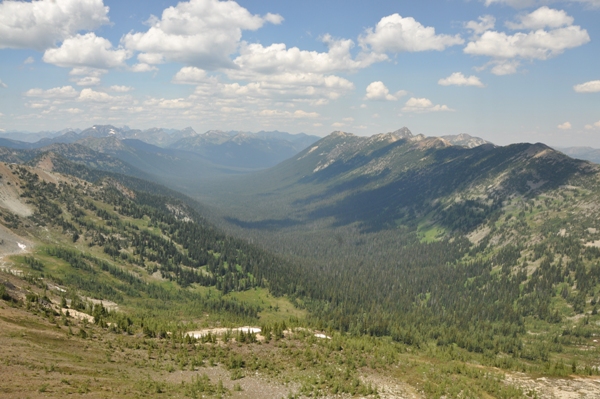
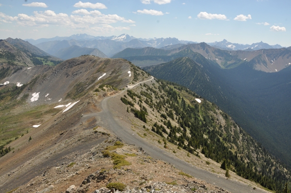
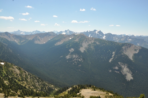
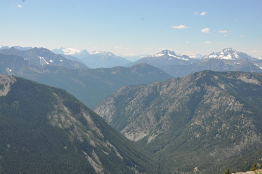
Looking down the Robinson Creek Valley
Middle Fork Pasayten River
Slate Peak Road
Slate Peak Lookout
Slate Peak gate at Slate Pass
Hiking up the road
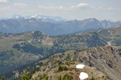
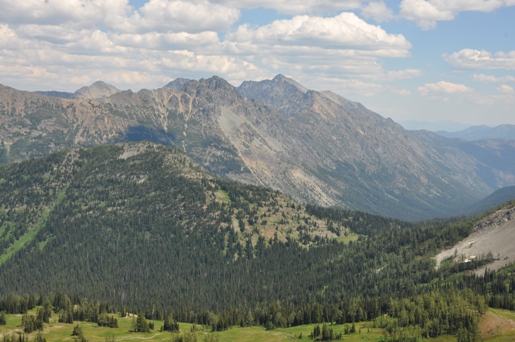
Mount Robinson
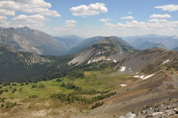
Looking west toward the Glory Hole mine site
Silver Star Mountain
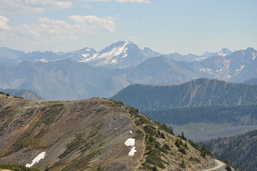
Snowfield Peak Group, Crater Mountain, Jack Mountain
Tower Mountain, Golden Horn, Azurite Peak, Ballard Mountain
For the fire lookout history, see:


