The Signal Peak lookout was built in 1959. It was a 40 foot wooden DNR tower that was staffed until 1967. It had been removed by 1970. The lookout was constructed by the DNR carpentry crew for around $8,000 dollars. The crew had built nine lookouts in just two years.
Elevation: 3,286 feet
Distance & Elevation: Drive-up
Prominence: 666 feet
Access: Good gravel roads
Signal Peak
Former Washington Fire Lookouts
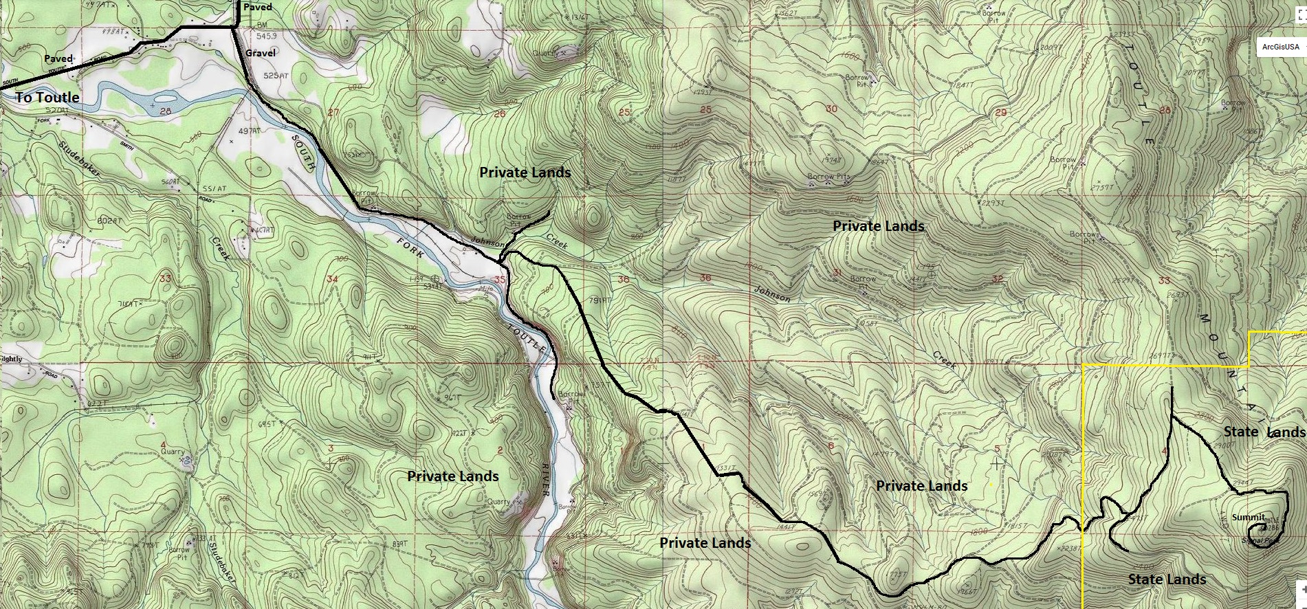
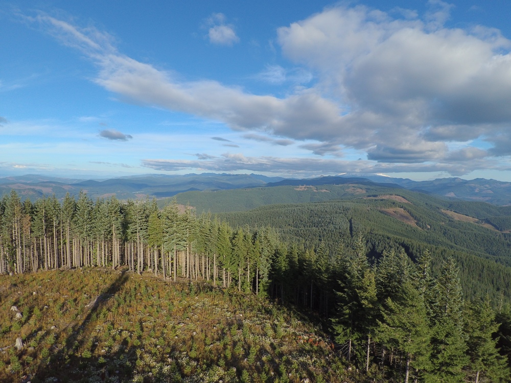
Signal Peak is located on state land wedged between the North and South Forks of the Toutle River valleys. This State land is extremely popular with locals but to get to it, you must pass through Weyerhaeuser land. The mainline has an easement across Weyco so you will see gates galore until you hit public lands, then it is a free for all with people shooting and partying everywhere. The summit will be viewless for some time until the next harvest, likely around 2045.
Lookout History
Mountain roads donít get much better than this. The wide mainline goes all the way to the summit. From Toutle, take the S. Toutle Road east to a prominent Y intersection where the road starts going north. Take a right and follow this wide dirt road as it turns south and goes up against the South Fork Toutle River. In a mile or less, look for some side roads to the left. One will be marked with a DNR poster board indicating the route to State Land. The road then begins to climb steadily but it should be in good condition. Follow map to the summit.
Access: Site Visit 2017
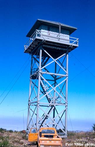
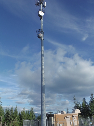
Signal Peak Lookout 1967
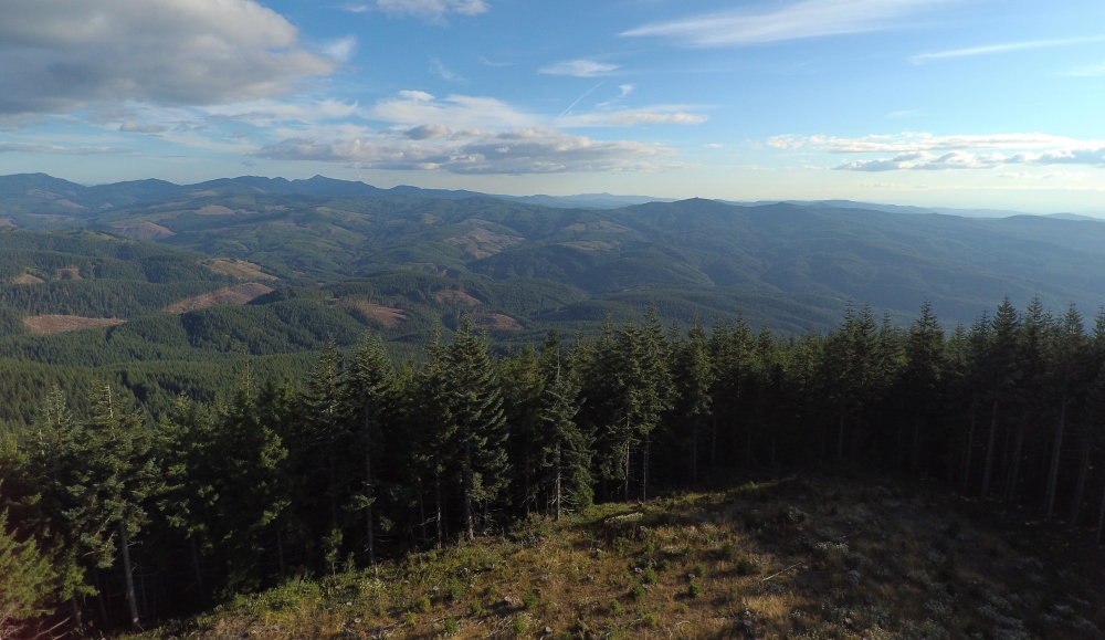
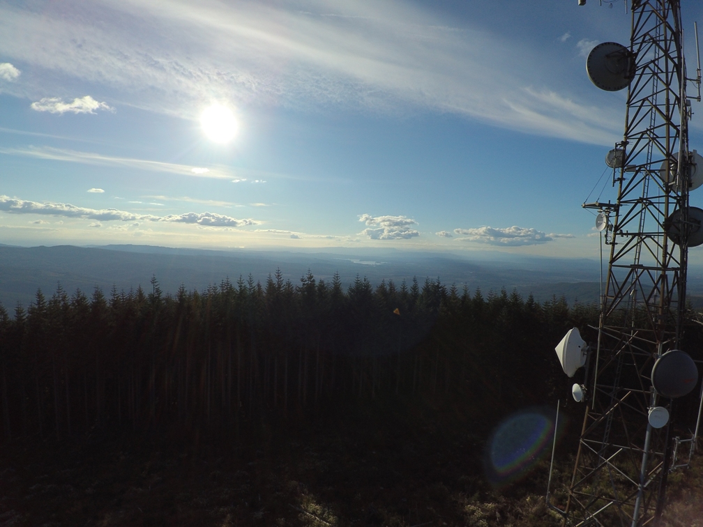
Signal Peak looking north
Signal Peak looking east
Signal Peak looking south
Signal Peak looking west
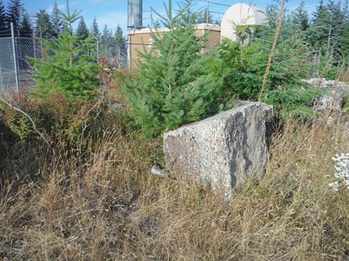
One of the lookout footings
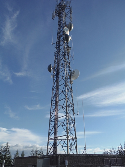
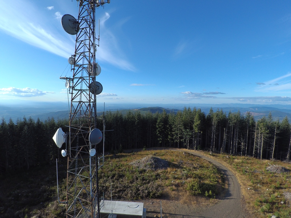
Communications leases earning revenue to help fund Washington public schools, universities, prisons, and the State Capitol.


