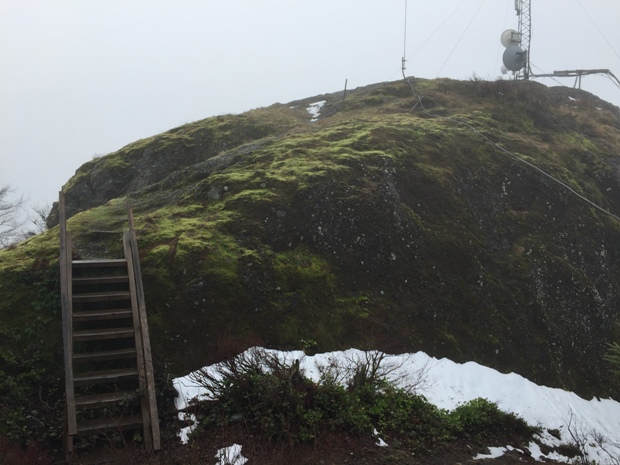
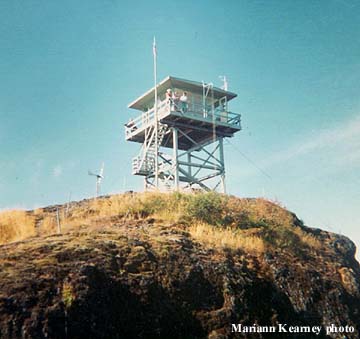
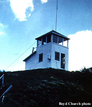
This low elevation mountain has a surprising rocky summit that should provide views for any visitor, assuming the weather cooperates. The access is right off highway 503 not far from I-5, making this a quick bonus peak if you are traveling to the south side of Mt. St. Helens to hike. The first structure was an L-4 cab in 1930. Then in the 1947, it was replaced by a 2-story 10x18 smokehouse type tower and living quarters. Finally in 1960, a 20 foot DNR live-in-tower was built. This final structure was scheduled to be moved to Clark College campus in Vancouver as an exhibit in 1970, but the project never happened.
Below are some news articles dug up by Ron Kemnow:
August 3, 1930: "The Washington Forest Fire association's new fire lookout on the Powder Horn, in the Lewis river district, has been put into use, with Edward McGrill as lookout. It is connected by telephone with the other fire ranger stations. That lookout commands a wide area of forest, and in conjunction with the new lookout on Elk mountain, where Jake Nordvik is lookout, permits close observation of all areas in eastern Cowlitz county and adjoining territory in Lewis and Skamania counties." (The Sunday Oregonian)
1931: "One Lookout was erected on Powder Horn Peak, in Section 19, Township 6, Range 2 East. This lookout was used as a secondary Lookout during the year 1930, and was taken into the main Lookout system following this period of conservation." (24th Annual Report of the Washington Forest Fire Association)
1947: "A 'smokehouse' type tower, with living quarters enlarged, was erected on Powder Horn Peak in the Lewis River country." (Annual Report of the Division of Forestry)
June 17, 1954: "I.G. Driver, son of Mr. and Mrs. George Driver left this week to assume his duties as a lookout at Powderhorn, just out of Woodland. With his dog as his only companion I.G. manned this station last summer and so thoroughly enjoyed it that he was eager to accept again this summer. He will be a senior at Columbia this fall." (Mt. Adams Sun)
1958-60: "The lookout construction work is performed by the Department's own carpentry crew. In the past two years, the crew completed nine lookouts at a cost averaging $8,000 apiece, one of which is located at Powderhorn, Cowlitz County." (2nd Biennial Report Washington Department of Natural Resources)
August 18, 1969: "Powderhorn, about nine miles northeast of Woodland, is one of five lookouts in the Battle Ground district that has been discontinued because of the use of air patrols. This lookout will most likely be burned." (The Oregonian)
Elevation: 2,954 feet
Hiking distance: Half mile
Elevation Gain: 600 feet
Access: Good gravel roads
Access
Washington Lookouts
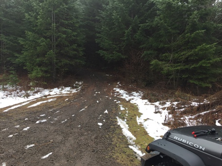
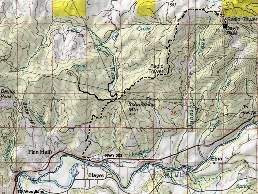
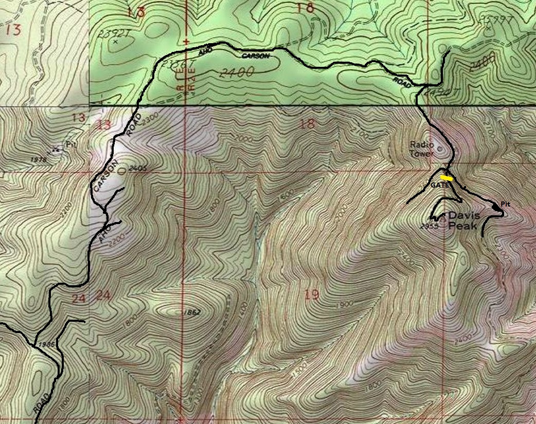
From Woodland on I-5, take Highway 503 toward Mt. St. Helens. Turn north off the highway on the signed Little Kalama River Road. Follow this paved road to a ridgetop (around 2.5 miles) where side roads go each direction. Turn right on the paved Aho Carson Creek Road (Davis Peak Road). Soon this road turns to gravel after the last house. Now just follow gravel roads trying to stay on what looks like the main road. In most cases the route always takes the uphill turn, but there are many side roads so bring a map or GPS and follow along. The final short road to the summit is gated. There is also another gate about a half mile before the summit road gate but I would guess it is rarely closed.
Powderhorn Lookout - Davis Peak Lookout
Gated spur road below summit
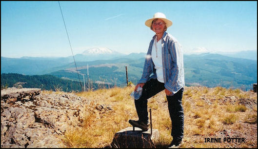
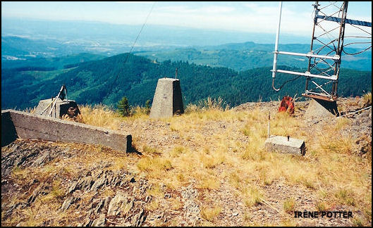
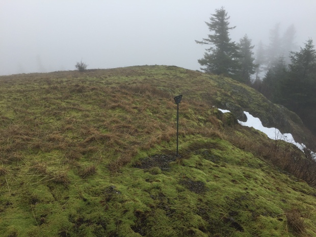
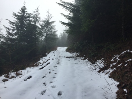
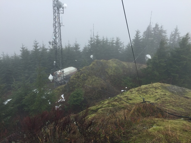
Good weather photos from Irene Potter in year 2000
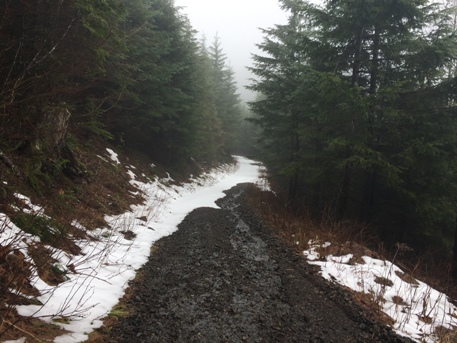
Davis Peak summit road
South side of Davis Peak summit
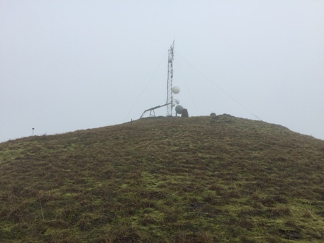
Davis Peak summit
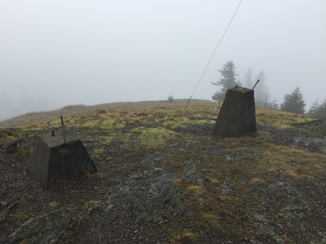
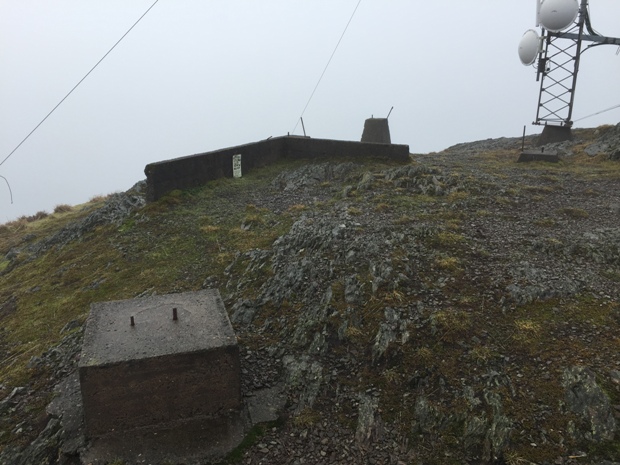
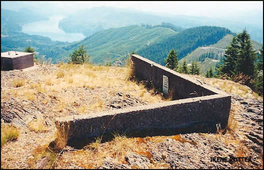
Footings and foundation
Footings
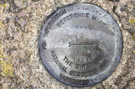
Davis Benchmark
Powerhorn 1957
View down from summit to communication buildings
Map of summit area
Access map from Highway 503 between Woodland and Cougar
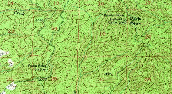
USGS 1954 showing Power Horn Lookout on Davis Peak
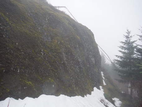
Cliffs below the summit with power cables dropping down to generators
St. Helens and Adams in distance
Lake Merwin in distance


