Pigeon Springs is a historic community still marked on many maps today. The community still has several homes along the Kalama River but the Ranger Station has long disappeared and been forgotten. So isolated was this location, it was the only choice for an AWS post during the war to watch this region. But, as it turns out, the ranger station was deep in the bottom of a valley with no clear view of the sky. To solve this, the AWS built a 14x32 foot cabin up above the ranger station where there was a clearing. After the war, the structure was asked to be retained for the State of Washington. It is very possible the structure was retained to be used as a fire lookout while the area was logged. The location above the ranger station somehow made it onto the 1943 USGS map as a lookout which seems surprising since the building didnít exist in August of 1942. This structure seems to be visible on aerial photos taken in 1951. In 2018 I was not able to find any evidence on the ground but I did not search every possible location along the ridge. The ridge was once the start of the George Peak Trail leaving the Ranger Station, climbing the ridge to Bear Pass, over George Peak and then beyond.
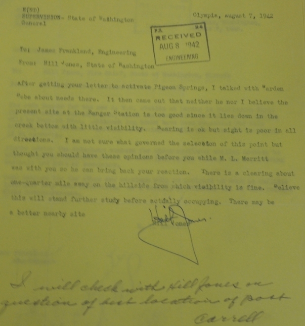
August 7, 1942 (letter shown below)
AWS
After getting your letter to activate Pigeon Springs, I talked with Arden about needs there. It then came out that neither he nor I believe the present site at the Ranger Station is too good since it lies down in the creek bottom with little visibility. Hearing is ok but sight is poor in all directions. I am not sure what governed the selection of this point but thought you should have these opinions before you while M.L. Merritt was with you so he can bring back your reaction. There is a clearing about one-quarter mile away on the hillside from which visibility is fine. Believe this will stand further study before actually occupying. There may be a better nearby site. Hill Jones.
Pigeon Springs AWS site
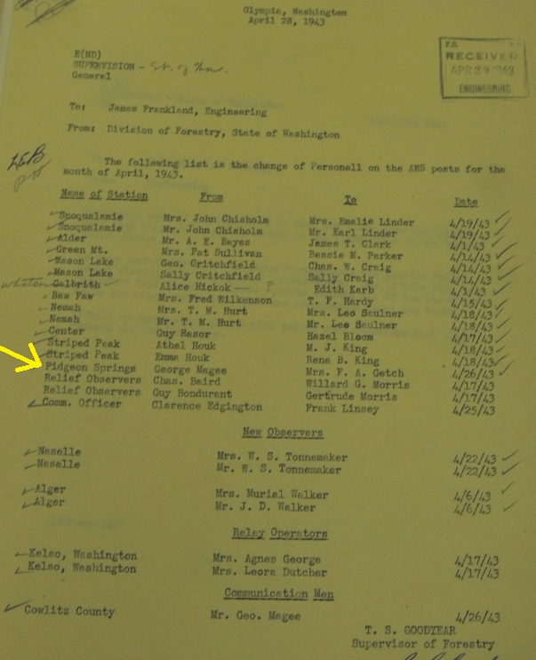
AWS post personell change at Pigeon Springs: George Magee to Mrs. F. A. Getch
Pigeon Springs, State of Washington, Private Land, Existing Station-Reconditioned, Retain for State of Washington, 14x32 cabin built with AWS 1/5 mile from road on steep hill.
Access
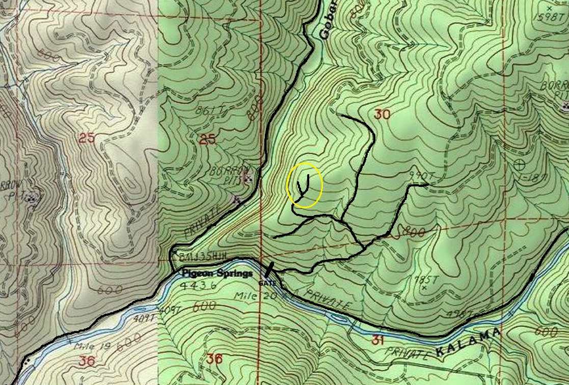
Pigeon Springs is located east of the city of Kalama and along the Kalama River. Pigeon Springs is reached by traveling 18 or so miles east on Kalama River Road from exit 32 of Interstate 5. At the end of road is a gate. A St. Helens Tree Farm Access Permit is required to go beyond the gate.
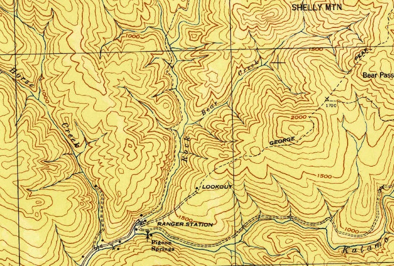
1943 USGS map. In most cases, AWS sites were not marked on maps. There is no known records of a fire lookout at this location.

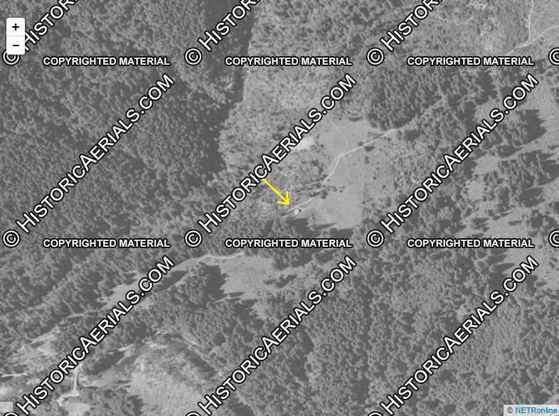
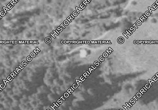

1951 Aerial photo showing what looks like a structure in correct location the ridge above Pigeon Springs
Zoom in on the structure
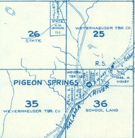
Pigeon Springs land owners in 1956
If you have information about this location, please contact me.
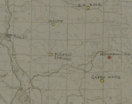
Pigeon Springs on the AWS map
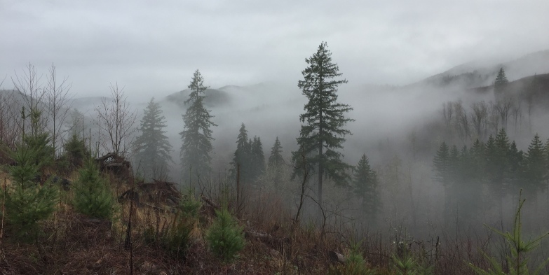
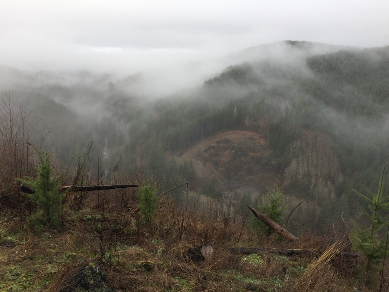
Ridge above Pigeon Springs
Looking north from the ridge
On ridge above Pigeon Springs
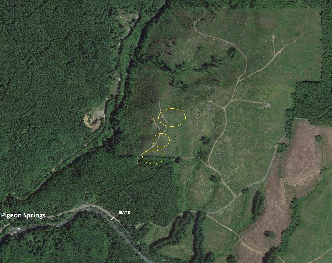
Areas I searched. The ridge is long and other locations could be explored.
The area on a current topo map


