

Ojibway Knoll Lookout Site
WillhiteWeb.com: Fire Lookouts

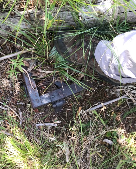
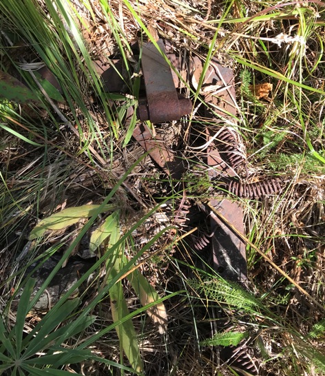
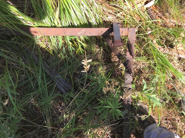
The Kresek inventory says there was a crows nest here in 1936, lasting until abandoned in 1948. Also a garage cabin 1/8 mile west. With a relatively flat summit and lots of vegetation, there could be some interesting finds on this summit. The south side of the summit still has some open areas and I found 2 bed frames 90 percent buried by earth. I would bet the base of the crows nest tree is still discoverable but I didnít see it.
Access:
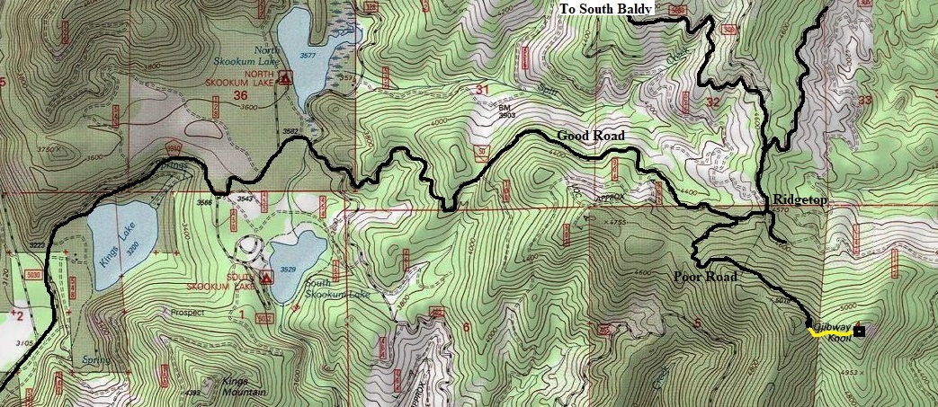
From Usk, take Kings Lake Road over the Pend Oreille River to an intersection. The Kings Lake Road goes straight. Go past the campgrounds and follow FR50 up to the ridge. Just before the ridge, a overgrown road turns right. Follow this steep rocky road, deteriorating in places, to its end inside the saddle between the two knobs of Ojibway.
Elevation: 4,993 feet
Hiking Distance: Quarter mile
Elevation Gain: 200 feet
Access: High-clearance best (1 extra mile if not)
Route
From the end of the road, walk as if the road continues. The very brushy path will drop down the hillside, then make a sharp left toward the east knoll. A trail is here, in fact a vehicle did drive this shortly before I visited. The trail will hit the official saddle low point, then start climbing to Ojibway Knoll. BUT, the trail doesnít go to the summit, you will need to turn right and bushwhack (pretty easy) up to the top.
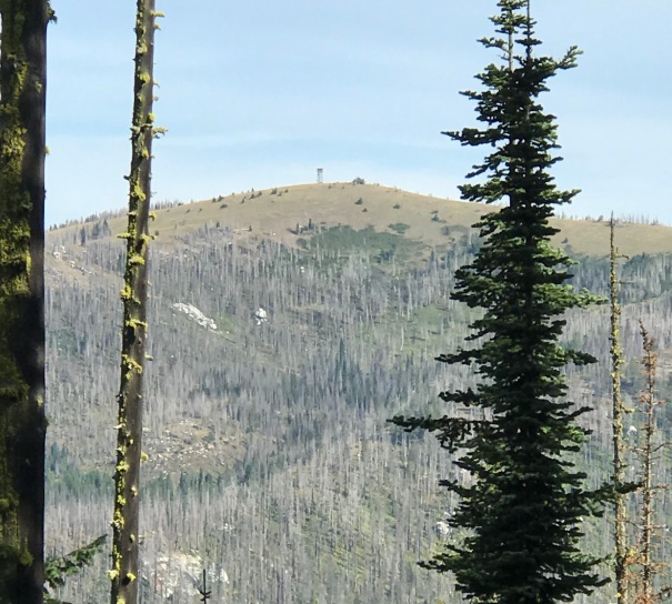
South Baldy Lookout from near the summit Ojibway Knoll
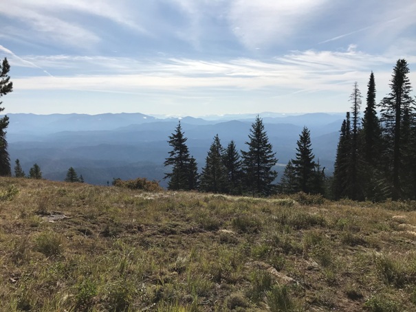
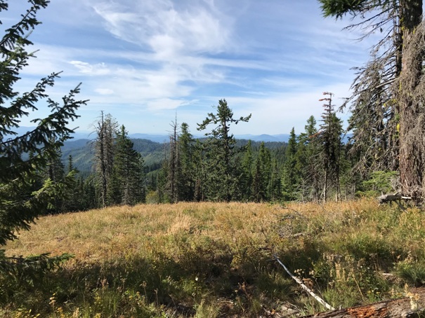
Looking East from Ojibway Knoll
Looking Southwest from Ojibway Knoll
Bed frame
Bed frame
Bed frame
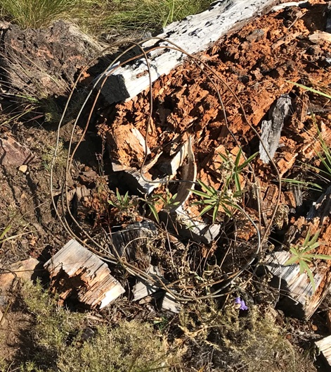
Phone line
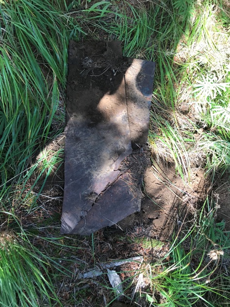
Metal sheets


