

Observation Peak Lookout Site

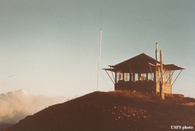
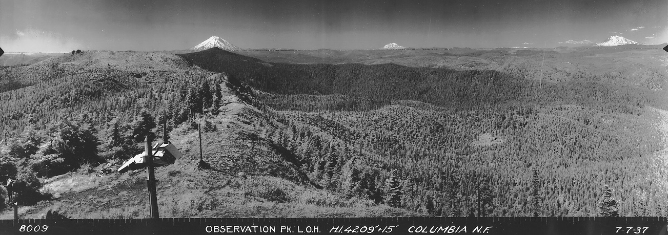
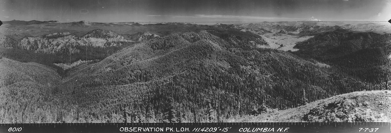
Located in the Trapper Creek Wilderness, an L-4 cab was built in 1934. Prior to that, the lookout inventory says there was a D-6 cupola cabin from the 1920's. Interestingly, the 1934 panoramic survey went to the nearby Sister Rocks but seemed to skip Observation Peak. We do have panoramics from Observation Peak but they were taken 3 years later in 1937. It made me wonder if there really was a cupola cabin prior to 1934 but then I think there might a dismantled cupola on the ground in the 1937 north image.
Cupola or camp, Observation Peak was in operation on August 1924 where we learn from an article in Six Twenty-Six that a lookout on Observation Peak was able to spot a fire. In May of 1926, the Morning Oregonian reported that a 6 mile trail from Government Mineral springs to Observation Mountain would likely be completed by early in July. This article also said “the trail will facilitate access to the lookout on the mountain's summit, and should be very popular with tourists in the forest, according to officials here, because of the excellent view from the mountain." An August 18, 1934 article in the Morning Oregonian said, “Wednesday seven women left their homes in Carson, went to the Government Springs hotel in the Columbia National Forest near Hemlock, and then hiked 6 1/2 miles into the forest to the observation lookout near Wind river branch forest experiment station to be guests of Mrs. N. H. Crowell, wife of the man whose job it is during the summer to be on the watch for forest fires, at a bridge luncheon."
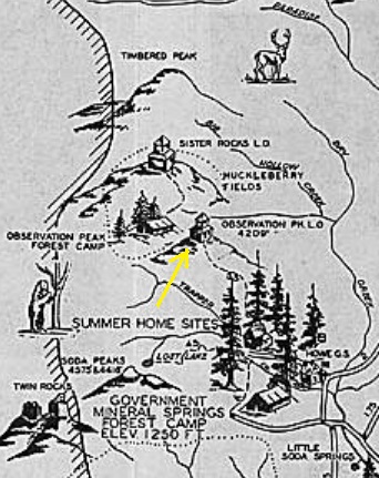
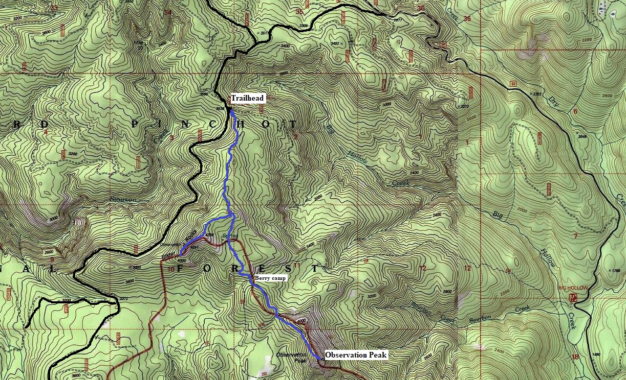
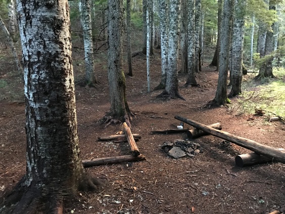
The L-4 cab was destroyed sometime in the 1960's. Another area of historic interest is the forested pass between Observation Peak and Sister Rocks. Maps show it having numerous names like Observation Peak Forest Camp and Observation Berry Campground. Today, trees have grown over the berry fields but the large campsites are still there with compacted soils and lots of space for tents.
WillhiteWeb.com: Fire Lookouts
Elevation: 4,207 feet
Hiking Distance: 2.5 miles (from North Trailhead)
Elevation Gain: 1,000 going in, 400 going out (from North Trailhead)
Access: Good gravel roads, some bit potholes
Access
Located near north boundary of the Trapper Creek Wilderness Area, there are numerous trailheads to start from. The Wind River area has the most and easiest but you can also reach the area from the West on the 57/5704 mainline.
Route
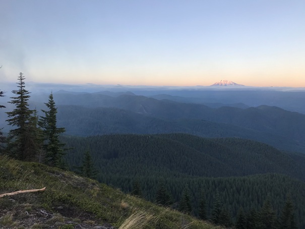
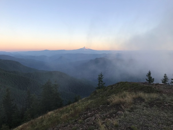
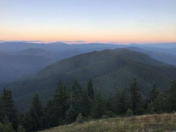
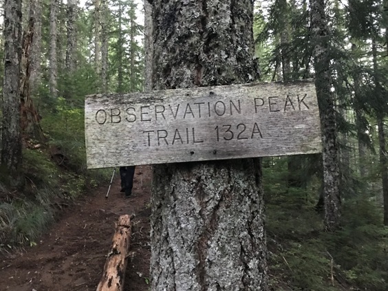
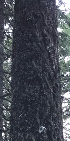
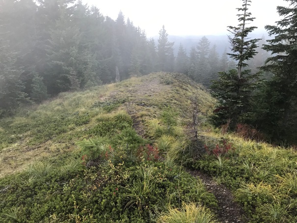
Taking the Observation Peak Trail from the north is the best, that way you can visit Sister Rocks. After about a mile of trail and steadily climbing, just past the highest point, is an intersection with the Sister Rocks Trail. After this side detour, continue down to the historic berry camp at the saddle. After a short traverse around a knoll to another 4 way intersection, the final trail to the summit is a steady rise through a nice forest with many phone line insulators. Just before the top, you break out of the trees and have views in 3 of the 4 directions.
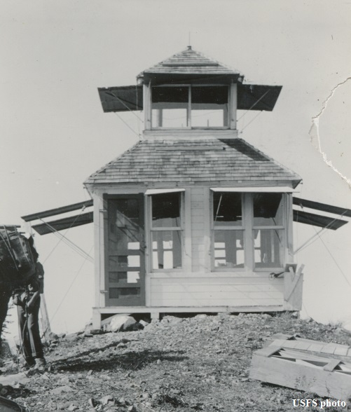


Observation Peak cupola
Observation Peak L-4 cab
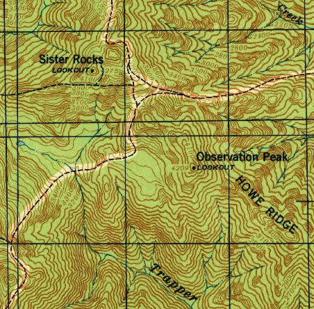
1940 USGS
1937 Wind River Recreation Map
Looking South to Mt. Hood from same angle as cab picture to right
Looking SE
Looking East to Mt. Adams
Same North view as panoramic below
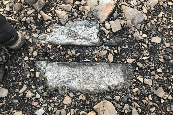
Footing or step
Phone insulator
Southwest in 1937
Southeast in 1937
North in 1937
Sign at the final climb
Observation Peak Forest Camp


