

Mount Mitchell Lookout

The Siouxon Block of State DNR timberlands is due south of Mt St. Helens. One of the highpoints and most popular locations historically is Mt. Mitchell. Early documents in the 1930s and 40s often called it Mitchell Peak.
Lookout History
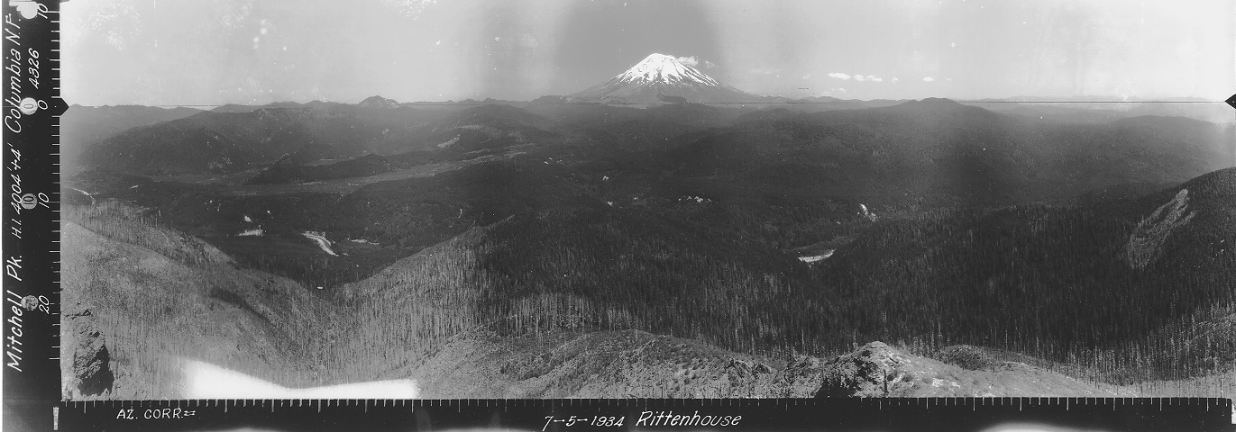
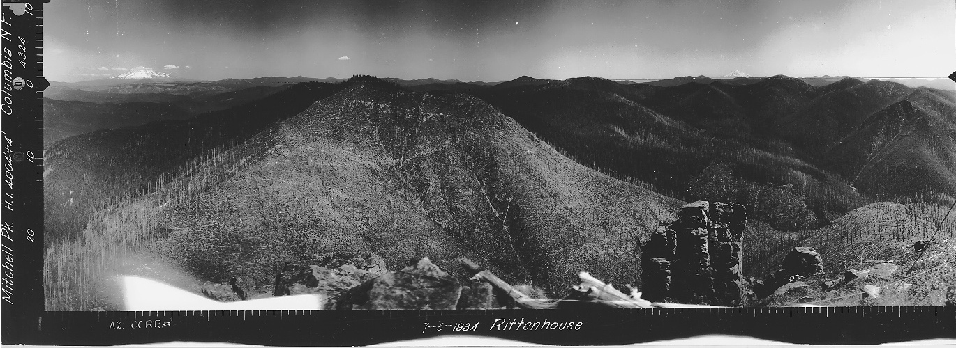
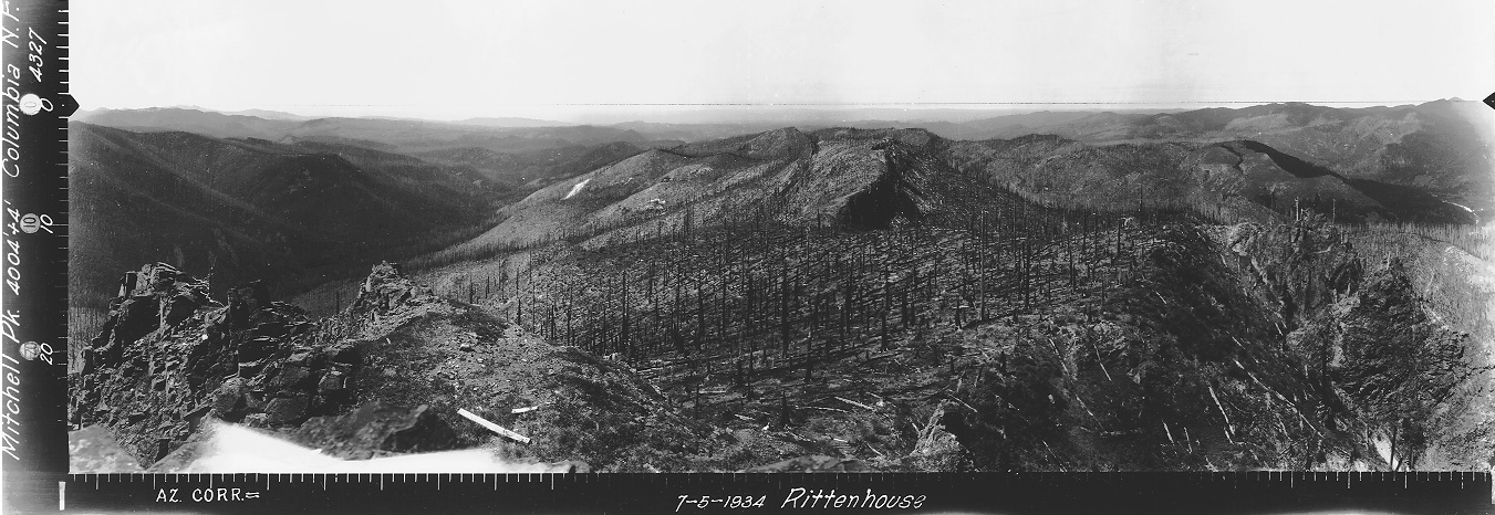
In 1934, panoramic images taken were at ground level.
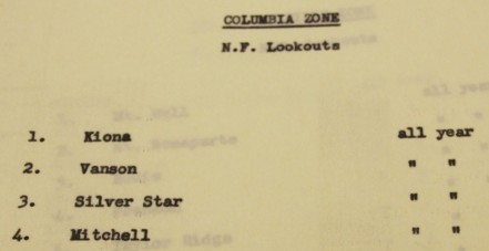
In 1940, the Columbia National Forest shows the site as a fire lookout.
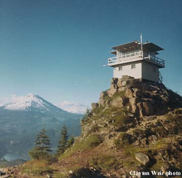
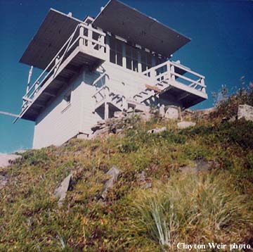
By 1942, an L-4 cab had been built on the summit but a construction date is unknown.
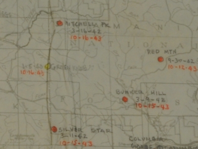
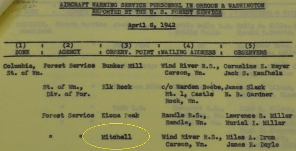
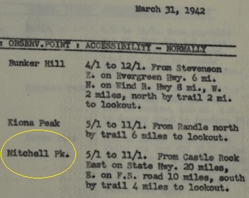
In 1942, the AWS used the lookout, activated on March 16, 1942, being used until October 16, 1943. The AWS show they had utilized existing facilities owned by the Columbia National Forest. Improvements made by the AWS using AWS funds included sleeping quarters and a woodshed. Upon the end of service the site was retained by the Forest Service for continued use in fire detection.
A 1948 forest service document concerned with the lookout being subject to high winds called the lookout recently constructed.
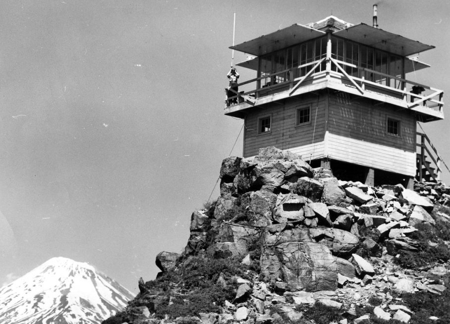
A 1953 image shows the structure as a 2-story L-4 cab. The Lookout Inventory has this structure being built in 1957, so the construction date of the second lookout is also unclear.
At some point in 50s or 60s the lookout ownership changed from Forest Service to DNR.
In 1969, the Mt Mitchell lookout was one of five Battle Ground district lookouts discontinued due to being replaced by air patrols according to a news article but they said the lookout would be maintained and used as a supply cache for forestry crews working in the area.
In 1970, the lookout inventory shows it destroyed.
WillhiteWeb.com
Elevation: 3,927 feet (3,960+)
Hiking Distance: 3 miles
Elevation Gain: 1,600 feet
Access: Good gavel roads
Access
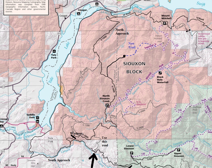
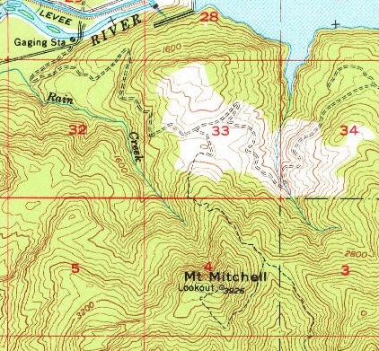
The main (10 Road) to the official Mitchell Peak trail has been blocked by private property issues for years making it difficult to reach a reasonable trailhead. The other routes required hiking so many miles to reach the summit, it was nearly a 2 day trip. But, an unofficial new trail has been built that access the summit in just 3 miles. Use maps provided to find the unmarked spur road off the S-1000 road. Roads in the Siouxon Block are not signed well and it can be a bit of a maze once in.
Route
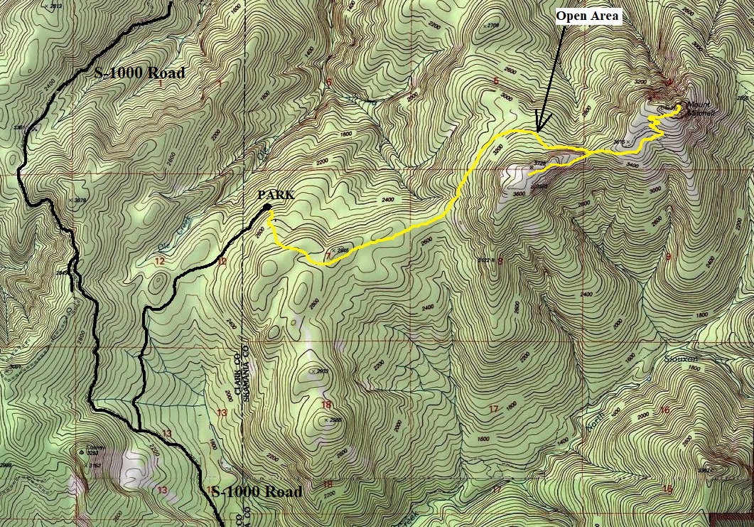
The trail follows the old road a few more feet before abruptly ending. The trail then steeply climbs the hillside. Not messing around, this boot trail steeply leads up and out of the younger stand of trees up into an old forest. The path then leads through this wonderful forest on some ups and downs traversing toward the summit. Eventually, the trail hits a open area with large boulders. The trail is hard to follow for a short distance here in the rocks. Just know that the trail works slightly left, then up to the very base of the rock wall. The forested pass on your far left is where the trail goes but the trail getting over there runs along the very bottom of the vertical cliffs above you. Your right hand should be touching the cliffs. Once you get to the pass, an awesome old trail is gained and takes you to the summit if you go left. (If you go right, itís called the Sugarloaf Trail and the DNR map shows it ending on a small summit. This ridge near the summit is timbered with a unique understory of Beargrass.

AWS showing it was an all year observation post
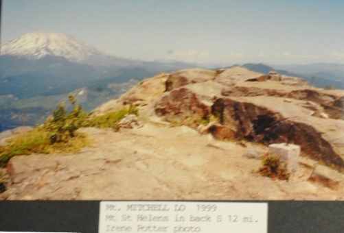
Irene Potter visit in 1999
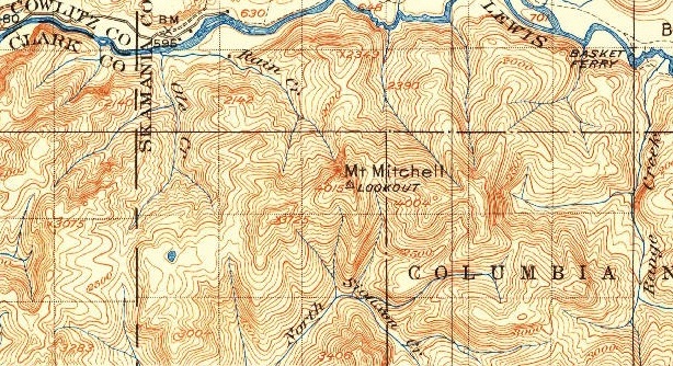
USGS in 1943 showing a lookout but no trail shown
1958 USGS, 1968 update
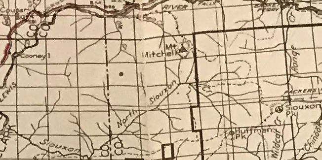
AWS accessibility in 1942 hints that the trail was from the south
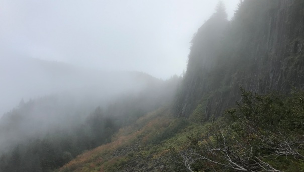
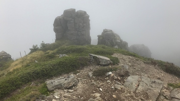
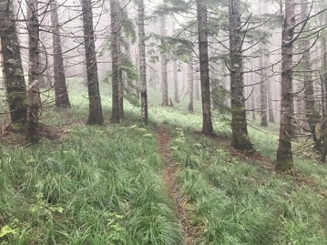
The trail is at the base of the cliffs and goes to the saddle in the fog
AWS observers in 1942
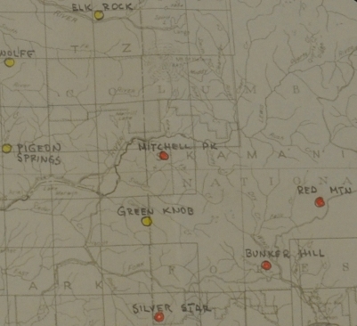
AWS map showing dates
AWS map
Summit ridgeline with the beargrass understory
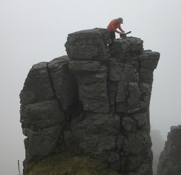
Paul M. risking life and limb for a geocache
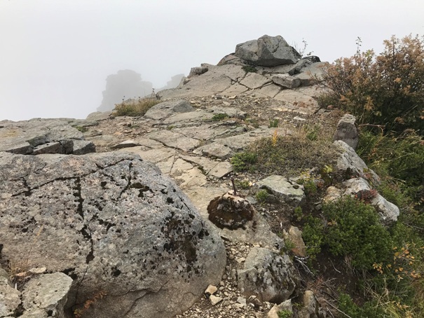
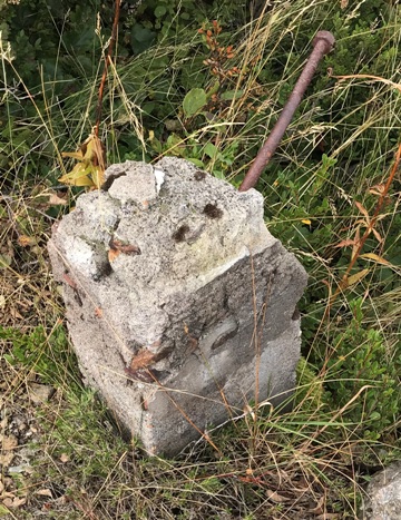
Footing at the summit
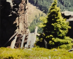
Outhouse debres in 2000ish
Outhouse debres in the 1990s
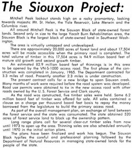
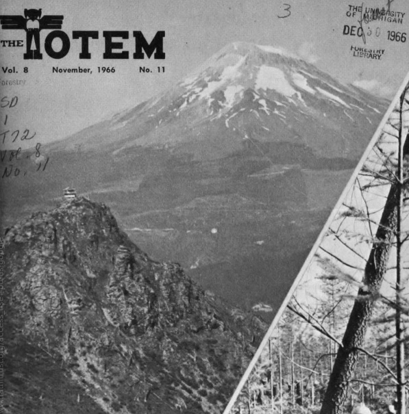
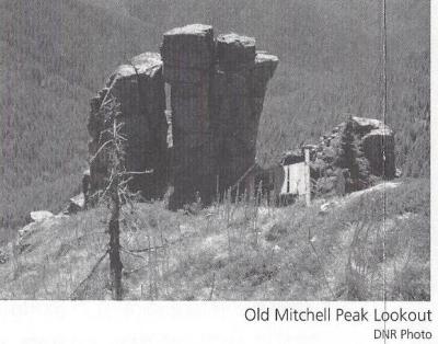
Mount Mitchell Lookout on a 1966 DNR Totem Magazine
A foggy morning for our summit visit
Mount Mitchell summit in 2019
Mount Mitchell in 1953, photo by Ron Kembow
Southwest 1934
Southeast 1934
North 1934
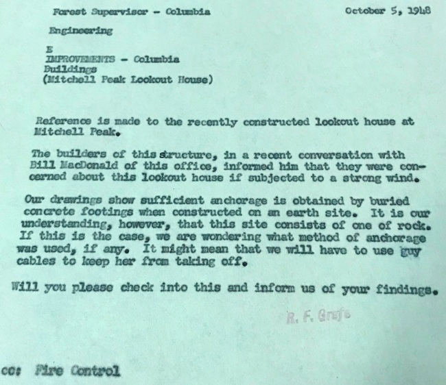
October 5, 1948
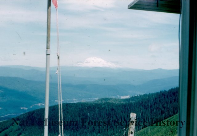
Mount Adams from Mt. Mitchell in 1958
1940 Columbia National Forest
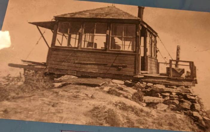
The first known structure in 1942 (Photo by Beth Rose)


