

Monte Cristo Mountain Lookout Site

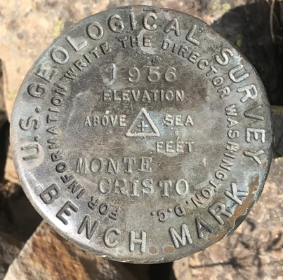
Monte Cristo was built around 1930. It was an L-4 cab. Panoramics taken on the roof in 1936 were taken 15 feet above ground plus 2 feet. In 1956 the USGS said the monument they were there to survey was 44 feet East of center of the lookout house. They made no mention if it was in use or abandoned.
Access:
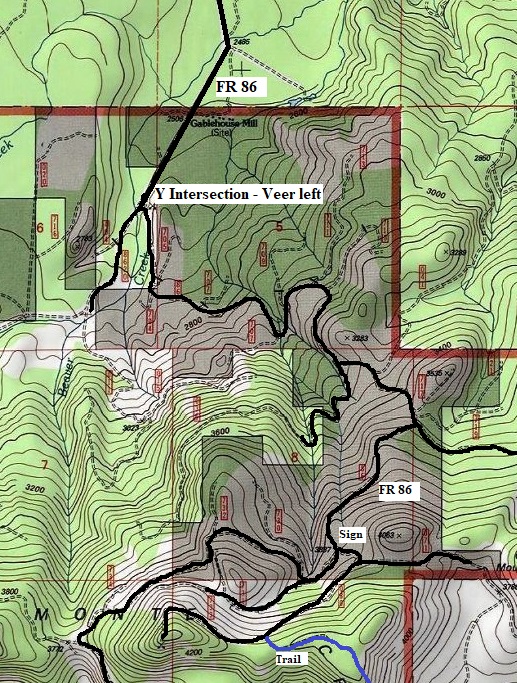
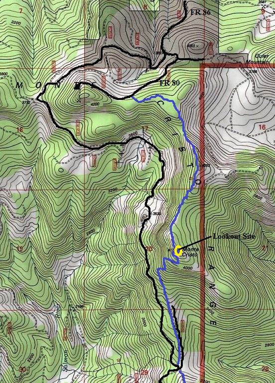
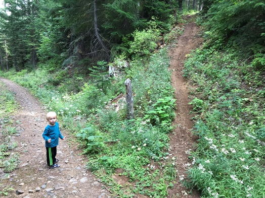
Take Highway 141 west out of Trout Lake At roughly between 3 and 4 miles, there is a gravel road (FR 86) angling off to the left. Itís noticeable because it is very straight. Follow this to a Y junction where the main road continues but FR 86 veers left, uphill and may not be signed. Follow 86 to FR 80, hopefully with a sign saying Monte Cristo Trail. Take 80 up a short distance to a Y, then veer right and follow an extremely rocky road to the trail. There is no parking where the trail leaves the road and you will probably even pass the trail without noticing it. If you reach the end of the road, you went too far, go back looking up for the trail.
WillhiteWeb.com: Fire Lookouts
Elevation: 4,171 feet
North Trail Hiking Distance: 2 miles
North Trail Elevation Gain: Around 500 each way
Access: Rough rocky road only last mile
Route:
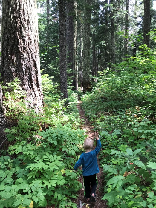
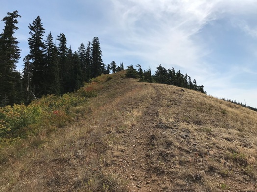
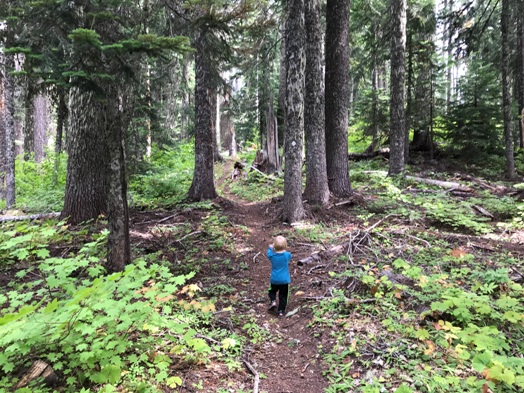
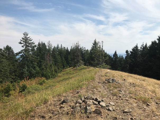
This route is longer than the south route but Iím guessing it is more scenic. The catch is that the route goes over a few knobs along the way so you have to go up and down several times, but nothing too difficult. Use a map or you might stop too early.
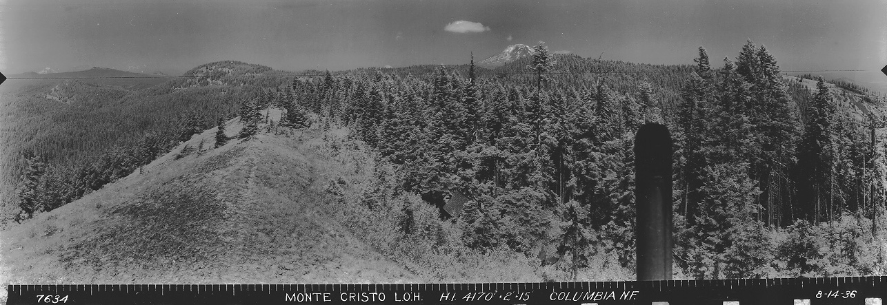



View Southeast on August 14, 1936
View North on August 14, 1936
View Southwest on August 14, 1936
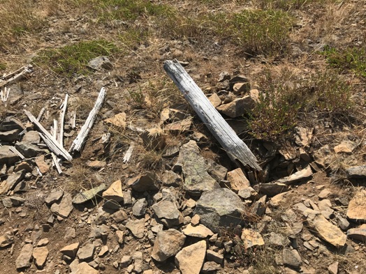
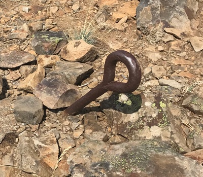
Eyebolt
Summit Benchmark
North access map
Trails on Monte Cristo Mountain
Flagpole
Looking west in 2019
Glass
Monte Cristo Mountain Trail
Monte Cristo Mountain Trail
Monte Cristo Mountain Trail
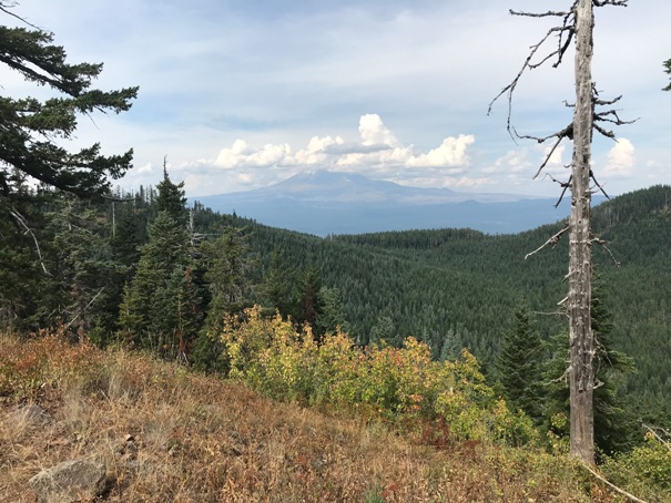
Mount Adams in route to the summit
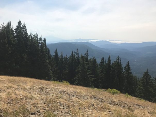
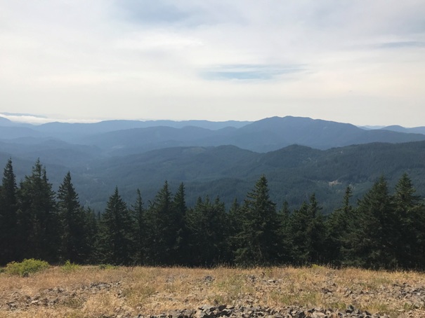
View south from the lookout site
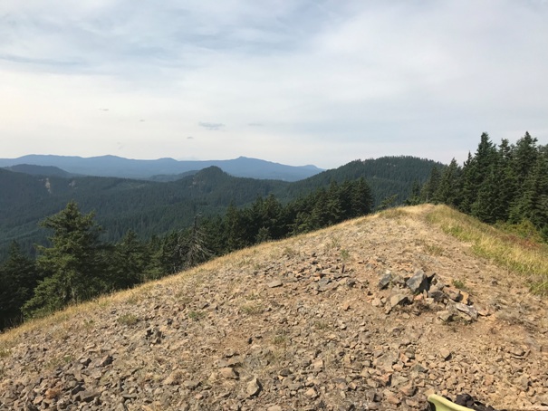
View southwest from the lookout site
Trail leaving the road at the trailhead


