Mission Mountain (Eagle Rock)
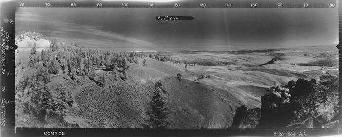
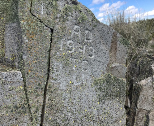
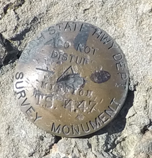
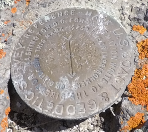
Overlooking the North side of Wenatchee is Burch Mountain. Near the south summit, off to the side, a rocky knob protrudes above the trees. This location has been given a few names over the years and has had a road accessing it prior to 1934. During that year, August 23, 1934, the location was photographed by a Osborne photo party. The images show no improvements other than the road getting to the site. They labeled the site as Burch Mountain and no known records indicate the site was being used as fire. The US Geological Survey in 1941 didnít make any mention of a lookout when they monumented the site. The road seen in the 1934 survey was used to access the base of the final short 5 minute trail up through the rocks. Reference benchmark disk no. 1 MISSION MTN is still located about 7 feet from the top but the summit USGS station mark appears to be missing. That summit station mark had no stamping and no name on the disk. There is also a highway department benchmark in the rocks just below the summit, labeled just as MISSION. A USGS benchmark marked as MISSION MOUNTAIN does exist on the summit of a hill 2 miles south of this point and considerably lower.
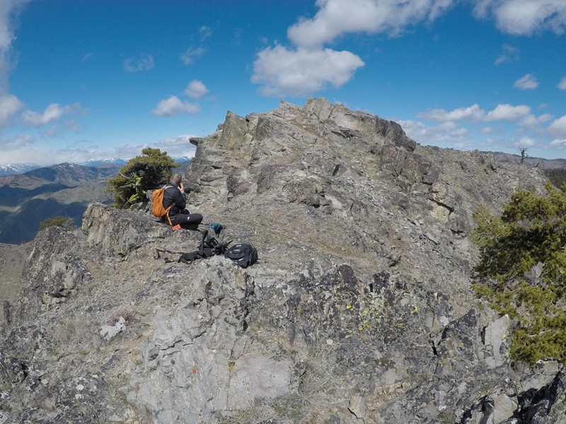
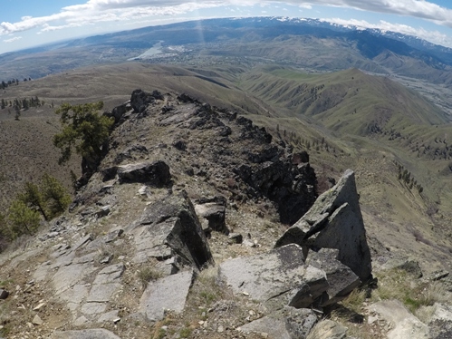
Interestingly, the 1959, Metsker Maps showed the upper location as Mission Mountain Lookout. USGS maps today label the knob as Mission Mountain and Eagle Rock together. During our visit in 2018, we didnít find anything on top leading us to believe anything could have been located there. My gut thinks it might have been used as a patrol point during high fire danger periods.
Elevation: 4,522 feet
Distance: Under one mile
Elevation Gain: 250 feet
Access Road: Rocky gravel
Washington Fire Lookouts
Access:
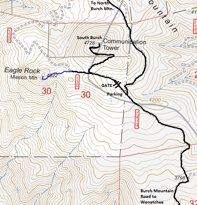
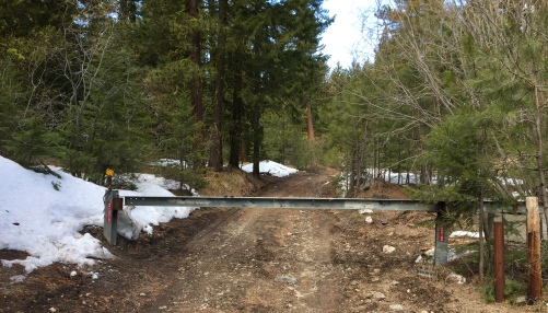
In Wenatchee, find Burch Mountain Road at the north end of town. It is long and straight as it climbs through a neighborhood. Eventually you hit the entrance gate and dirt. This lowest gate is closed in winter and early spring. Once open, you can drive to about 4,300 feet where there are two options. The left road goes a short distance and hits a gate that is always closed. This is the trailhead. The road to the right goes to the North summit 3 miles further.
Route:
From the gate, walk the road a short while to a Y intersection. The main road will be switchbacking up to the south summit, go left instead (possibly 2 left choices). Both will go over to Mission Mountain, the center left avoids going over a small bump in the ridge.
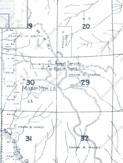
1959 Metsker Map showing Mission Mountain L.O.
Southwest view August 23, 1934
Southeast view August 23, 1934
North view 2018
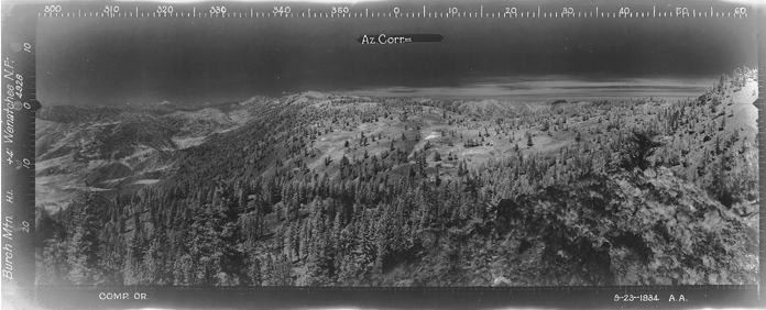
North view August 23, 1934
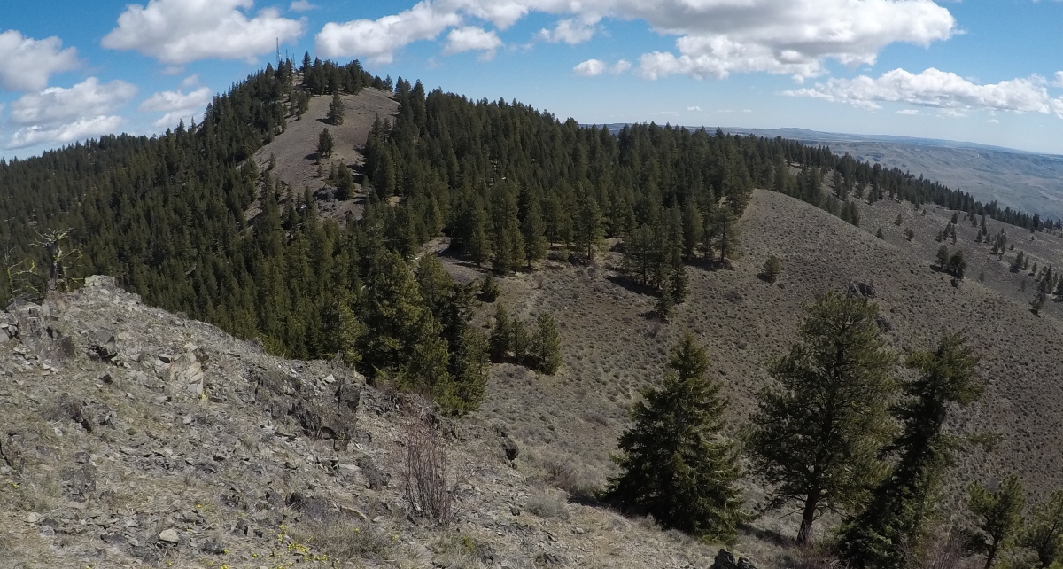
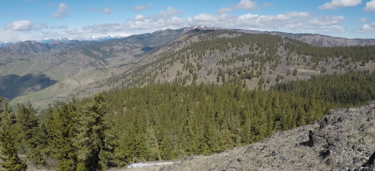
Southeast view 2018
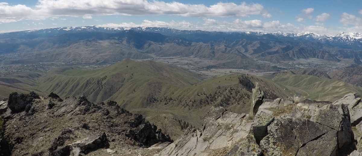
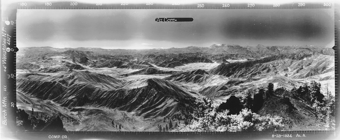
Sharp rock in the 1934 Southwest view
Burch Mountain upper gate
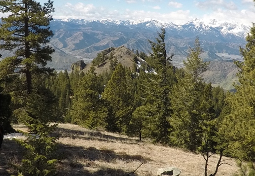
Mission Mountain from near the top of Burch Mountain South
Still there
Summit area
Washington State Highway Department Survey Monument
USGS directional benchmark MISSION MTN 1941


