Midway Lookout Site
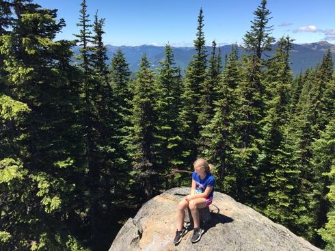
Located on the Cascade crest, between Mt. Adams and the Goat Rocks, Midway has kept much of its dramatic view. The rocky summit is just west of the Yakama Indian Reservation boundary. Once this high perch had road access but now it is just a trail.
Elevation: 5,236 feet
Distance: 1.8 miles
Elevation Gain: 800 feet
County: Yakama
Access:
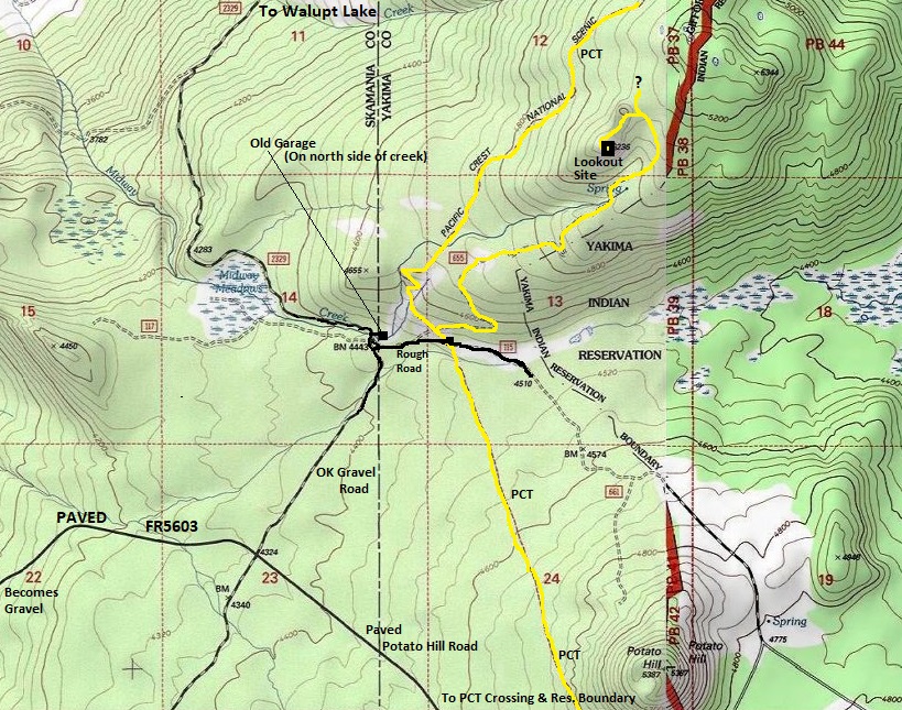
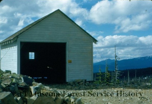
A portion of FR5603 is paved as it climbs over the cascade crest just south of Potato Hill. I took an unsigned dirt road (FR2329) north from the pavement to the Midway Creek crossing. Several roads are here at the creek. On the north side of the creek, a short spur takes one to a shelter that looks like garage, possibly for the former lookout. But, to reach the PCT, take the bumpy spur on the south side of the creek for a short distance until the well signed Midway PCT trailhead. Walk the final road to the PCT junction if your car is low clearance.
Route:
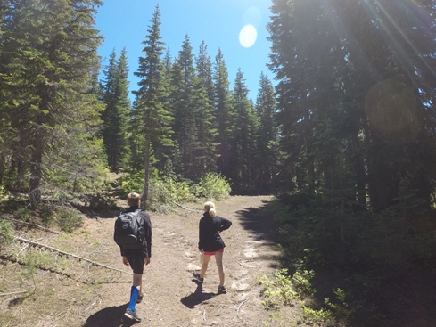
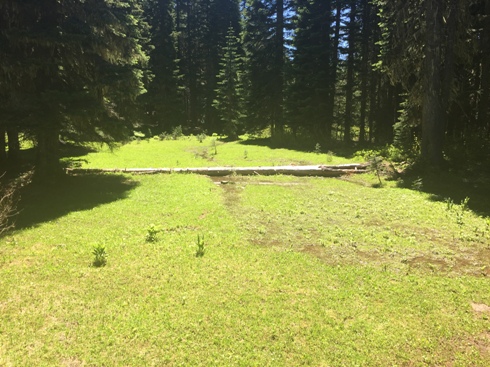
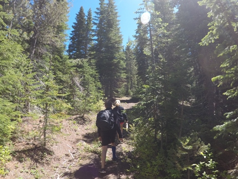
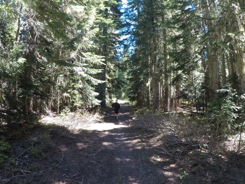
From the Midway PCT Trailhead, walk a very short distance to an open area. Keep a sharp eye to the right for an old roadbed cutting to the right at the top of the first open area. Within a minute along this roadway, you will find the old road more open and trail like. Follow this trail/roadway to the summit. Not maintained so overgrown in a few spots. On the map I drew a side trail near the summit going north. This might merge into the PCT allowing for a loop trip.
WillhiteWeb.com
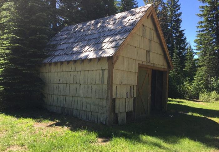
An old garage down at Midway Creek Guard Station (near elevation 4,443) still standing in 2018
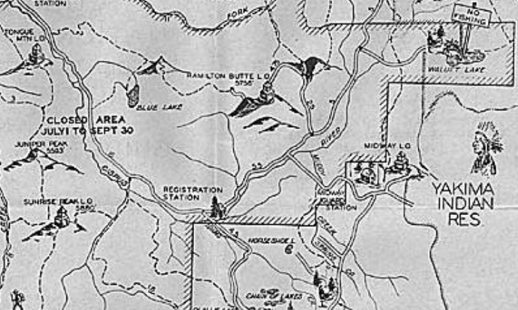
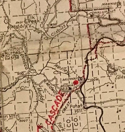
1937 recreaton map
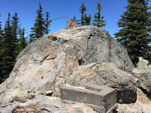
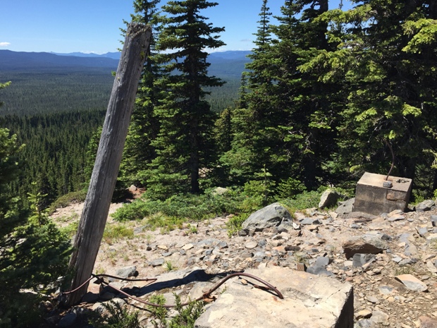
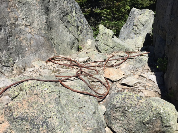
Phone insulation at the summit
Trails in yellow
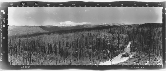
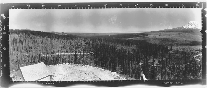
Southeast July 7, 1934
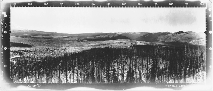
North July 7, 1934
Southwest July 7, 1934
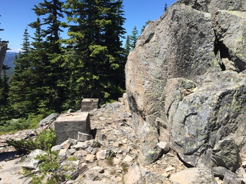
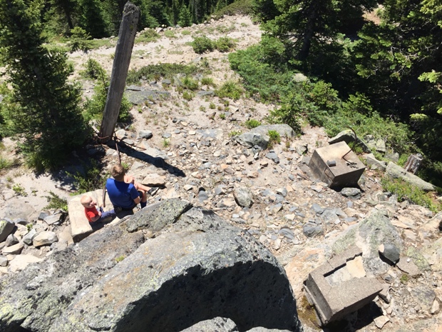
Looking down on the two lower footings
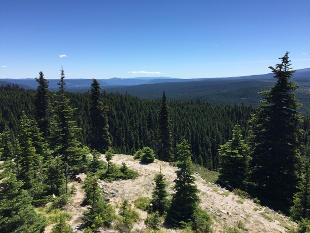
Trees growing over western view
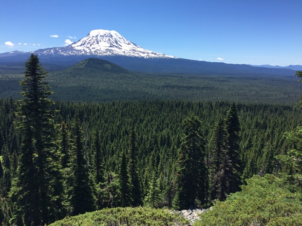
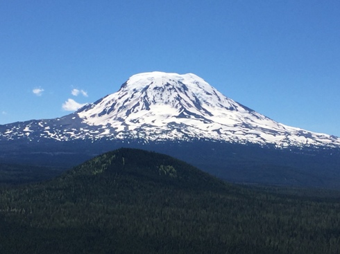
Mt. Adams
First step and upper footing on summit rock
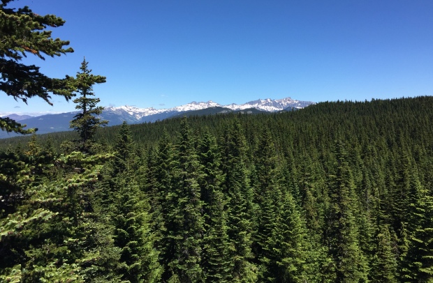
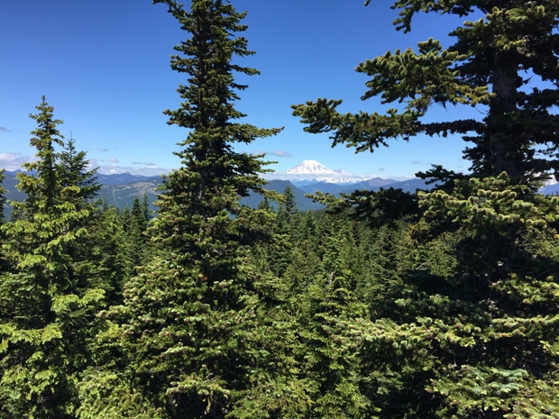
Mt. Rainier to the North
Lower footings
View east
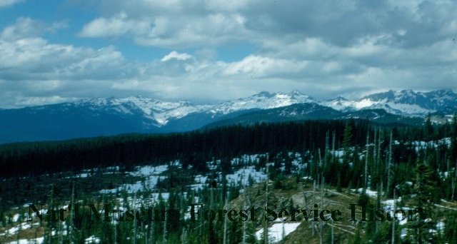
View Northeast to the Goat Rocks
Meadow before the summit
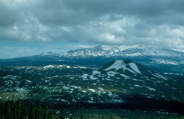
Mount Adams and Potato Hill
Old road to Midway Lookout
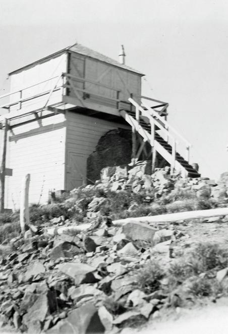
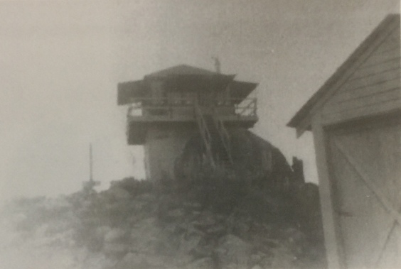
Lookout and garage
1940 Columbia National Forest map
October 8, 1937
Frank Lewis Collection
Lookout History:
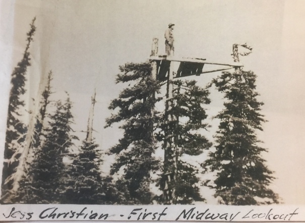
The first lookout was a crows nest platform built in the tops of some trees.
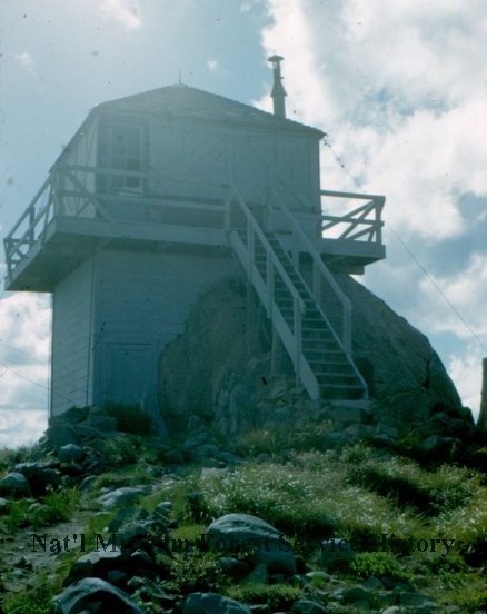
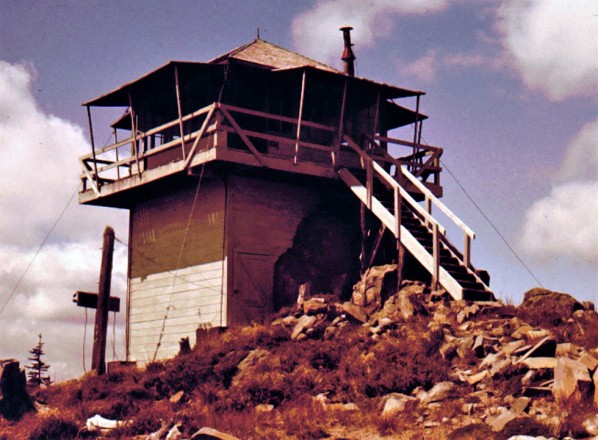
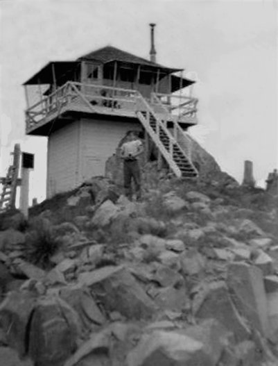
In 1934, a 16 by 16 foot L-4 cab was built. It has a lower storage area with one corner built on a 20 foot boulder. A garage was also built the same year as were panoramic images taken from the roof. The structure was destroyed in 1952.
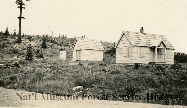
1935 Midway Guard Station down below the lookout. See garage image below.
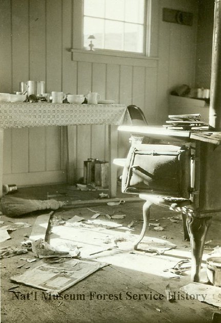
Vandalism down at the Midway Guard Station
Lookout garage in 1950
1950 view to Mt. Adams
1950 view to the Goat Rocks


