Elevation: 2,160+ feet (Also shown as 2,149 feet)
Prominence: 881 feet
Distance & Gain: Drive-up
Meridian Mountain
Former Washington Fire Lookouts
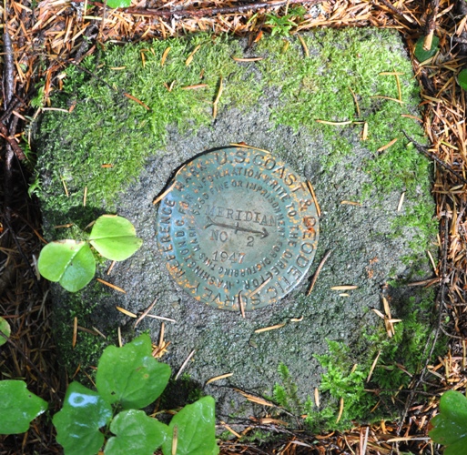
Named for the Willamette Meridian which runs just feet from the summit, this low elevation mountain has a good road system up to the summit area. The Meridian Mountain lookout was built in 1942. It was a 40 foot pole tower with a 7 x 7 foot cab on top. At the base was a ground house. This lookout was destroyed in 1963 during the Columbus Day storm. The view today is blocked by tree cover. There is a large amount of garbage left at the top from hunting camps so it is hard to find lookout remnants. A reference benchmark (Meridian RM 2) is at the edge of the opening but the main benchmark it points to is hidden in the tall grass.
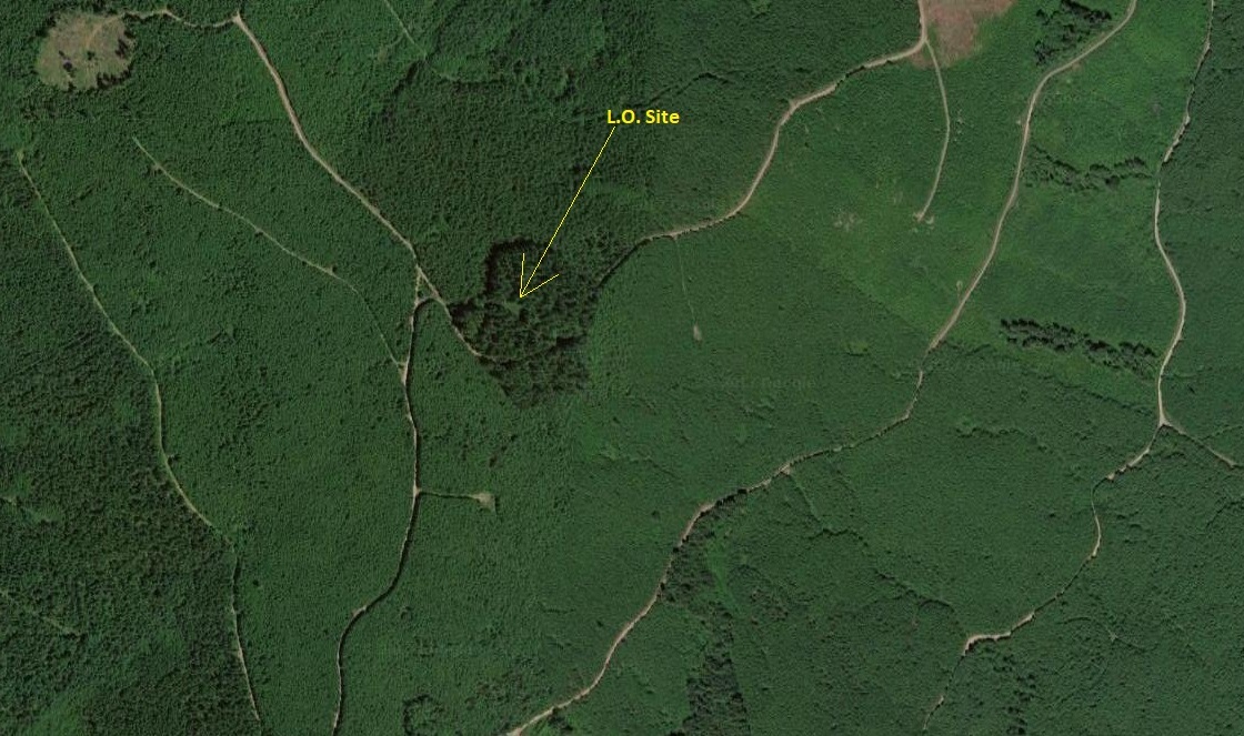
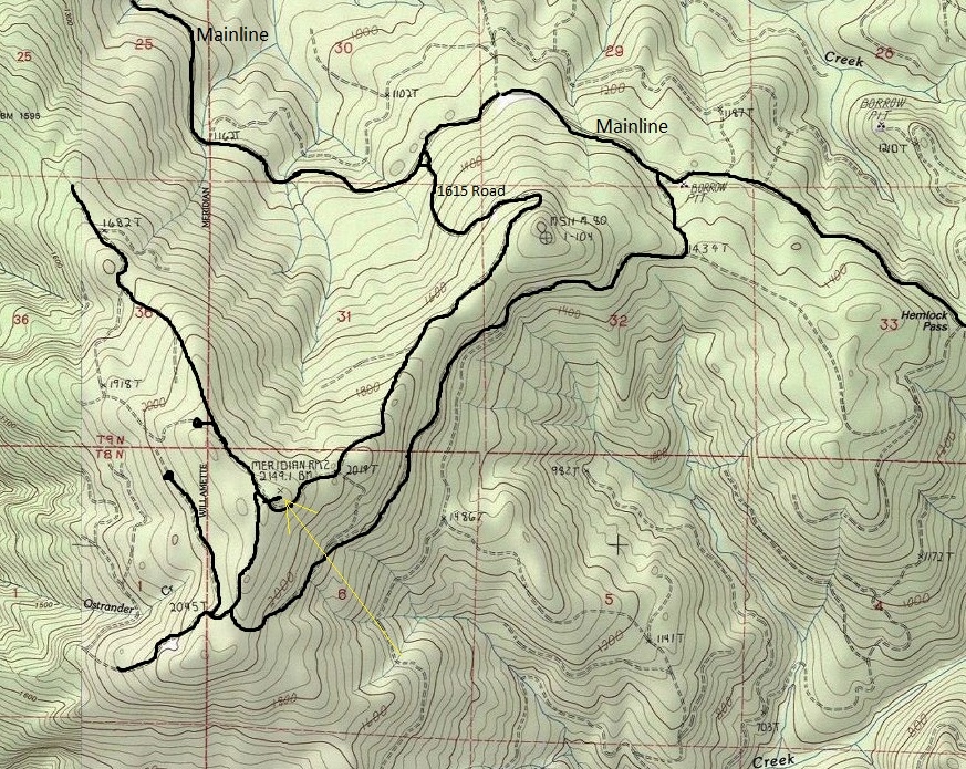
Roads go to within feet of the lookout site but you will need a St. Helens Tree Farm Permit to be legal. A short spur road blocked with a trench leads to the open site (see map). The highest point of the mountain seems to be on the other side of the road, an easy walk through the trees, although other contours are of equal height.
Access
Meridian Mountain from the north
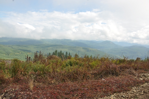
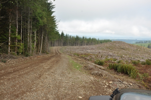
Road up Meridian Mountain
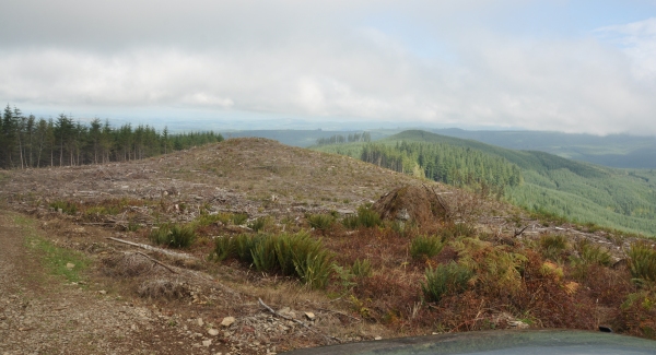
View 1/2 mile NE of the summit
View 1/2 mile NE of the summit looking east
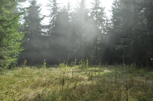
Lookout site
Reference benchmark
Ouch
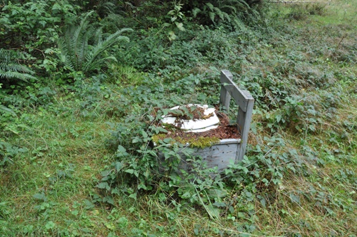
Bathroom option two
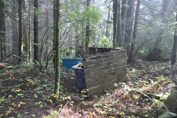
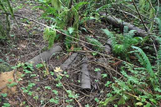
Stovepipe from what looks like the living quarters in image below
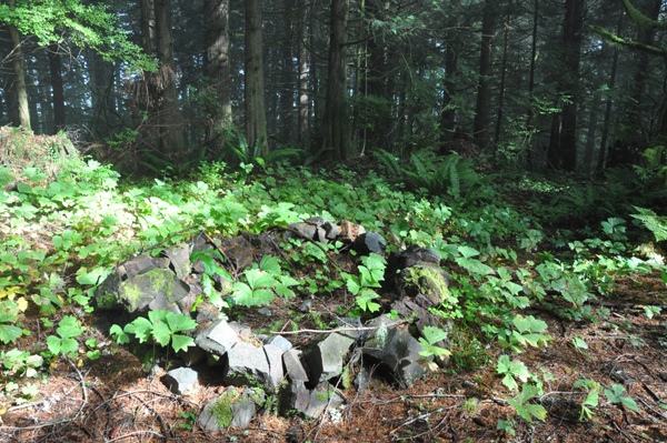
Fire ring from campers at summit
You can see the tall timber surrounding the summit was cut at a different time and is on a different harvest rotation. In several years, the views will be back.
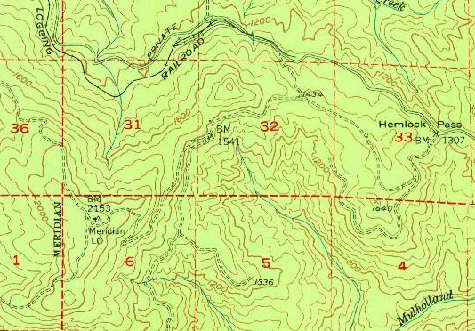
1953 USGS map showing the Meridian LO and historic Hemlock Pass
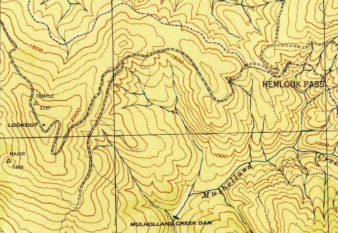
1943 Pigeon Springs map showing a lookout on Meridian Mountain
Do not confuse with Meridian Hill, an AWS site to the north just east of Centralia
FYI
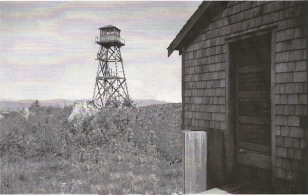
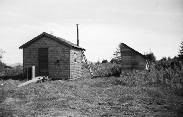
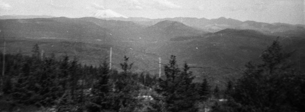
Images from the mid-1950s from an anonymous donor online. (2 persons were photoshoped out)
Living quarters and a woodshed around 150 feet west of the tower
View east to Mt. St. Helens in the mid-1950s. Photographer hiked in to the site.
I recall that there were wooden bunk beds to the left of the door as you entered the ground cabin. To the right, under the window, there was a small table with chairs. The wood burning stove in the back on the right had a flat top for cooking. There was an outhouse, but I do not recall where it was located.
