
McCoy Peak Lookout Site
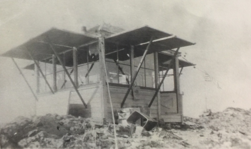
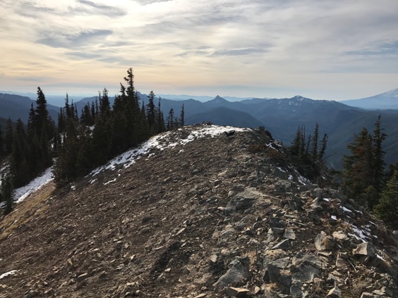
This location was photographed on July 18, 1934. At that time, there was no lookout. The images were shot from the central knob on a crescent shaped ridgeline. One supplement photo was taken where the lookout was eventually built. It is unclear when the lookout was built but it was shortly after the photos were taken, for sure by 1937. The 10 x 10 foot L-5 cab was on the ground. According to book, Rag Camps to Lookouts, “the lookout never had telephone communication. Jim McMahan told us that when his second cousin, Earl Mels, was on McCoy Peak Lookout he was talking on the radio when lightning hit and the next day a crew was sent up and they had to literally pack him off the mountain. Jim said it took a long time before he fully recovered from that experience. This lookout was occupied for several years after the 1940 Langille Ridge fire.”
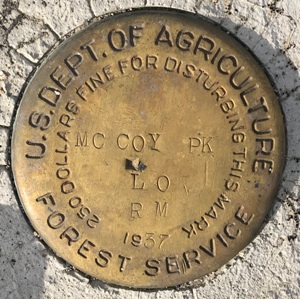
On the summit is a Benchmark labeled McCoy Peak Lookout. A survey crew came to check on the benchmark in 1964 via helicopter. They recorded the lookout was destroyed by fire on September 10, 1964 by the US Forest Service.
WillhiteWeb.com: Washington Fire Lookouts
Elevation: 5,856 feet
Prominence: 1,896 feet
Hiking Distance: Varies but 4.5 at least
Elevation Gain: Varies but 3,500 at least
Access: Changes, check FS website
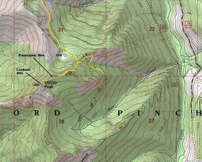
I approached via the original trail from the north along Langille Ridge. The panoramic crew took photos from a highpoint along Langille Ridge the same day they took the McCoy Peak photos in 1934. I did not see any phone lines or insulators along any of the route.
Notes:
Access
Access is probably best from the McCoy Creek, but roads wash out in this region often, check with the Forest Service website. I came from the original Langille Ridge Trail far to the north on FR2809. This is a long route and probably not best unless you are a strong day hiker. Using this option allowed me to climb Langille Peak, a panoramic site.
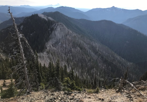
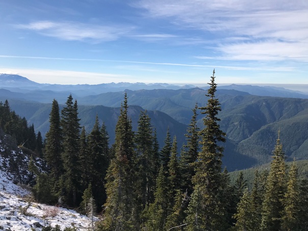
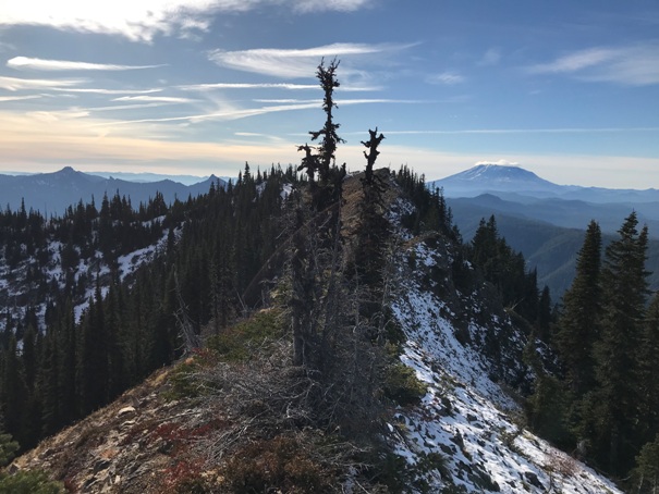
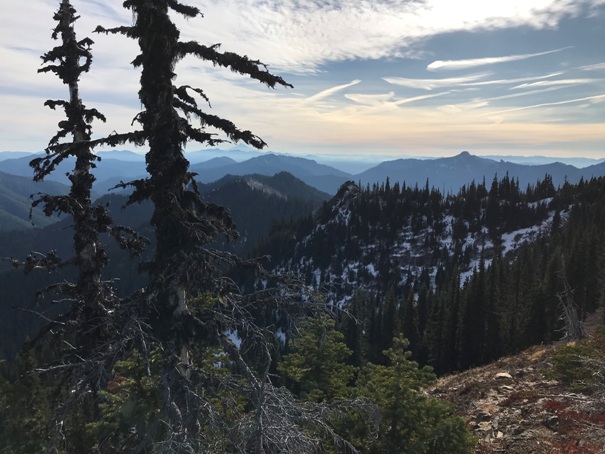
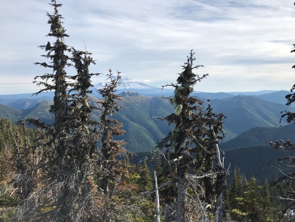
View North 11-23-2019
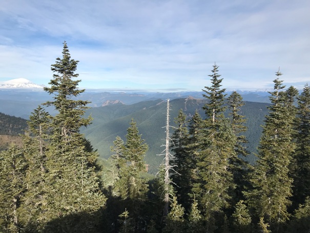
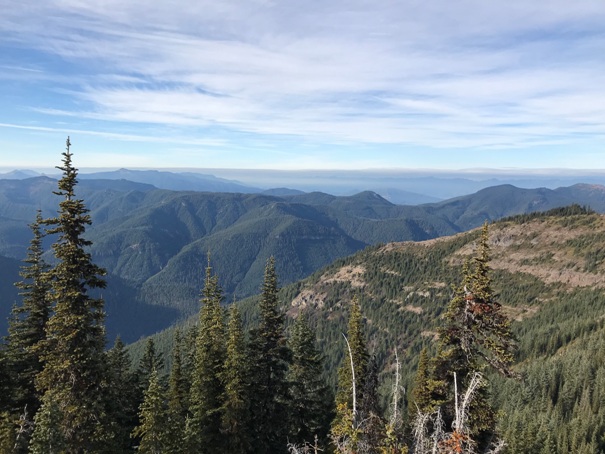
View Southwest 11-23-2019
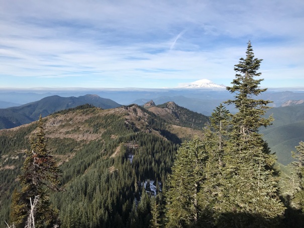
View Southeast 11-23-2019


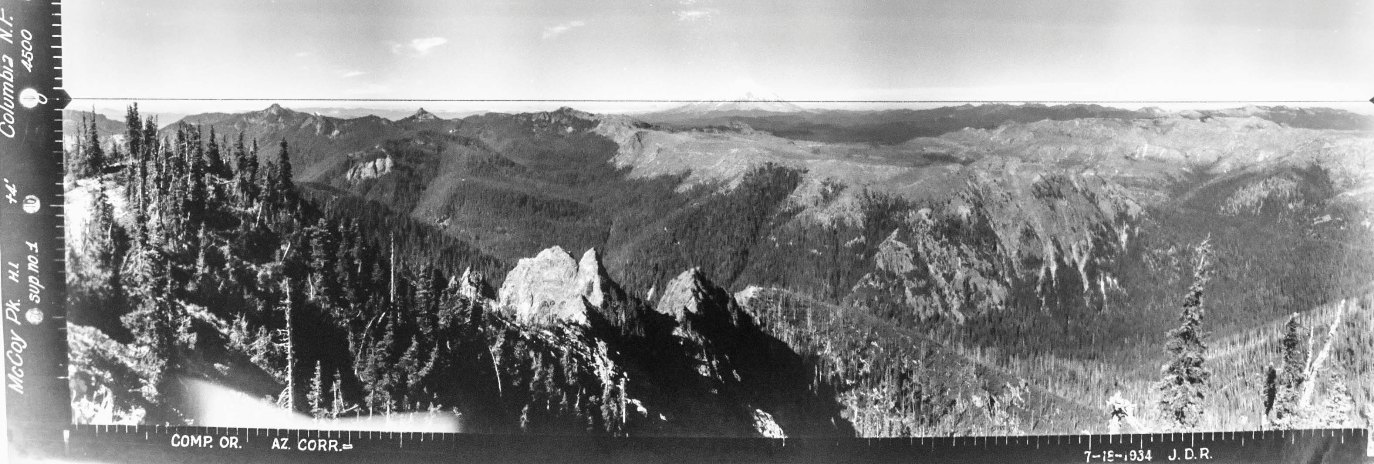
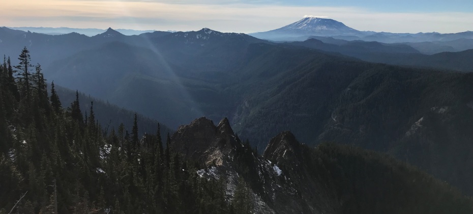
A supplement view taken at the future lookout site.
The supplement view above taken from the lookout site.
View Southwest 7-18-1934
View North 7-18-1934
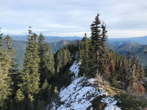
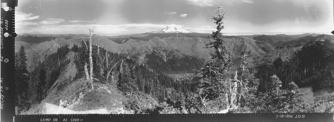
View Southeast 7-18-1934
McCoy Lookout
McCoy Peak L.O. 1937 Benchmark
Burn area viewed from point just south of the lookout site
From lookout site, looking northeast to the panoramic images site (second knob)
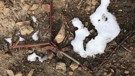
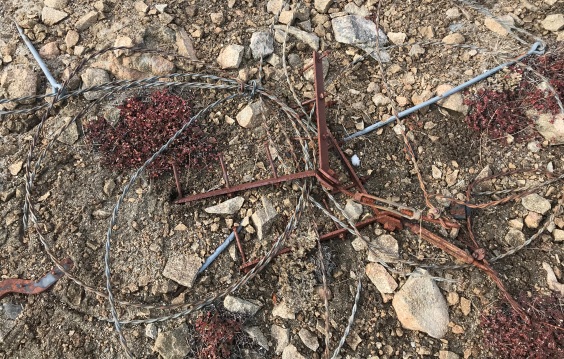
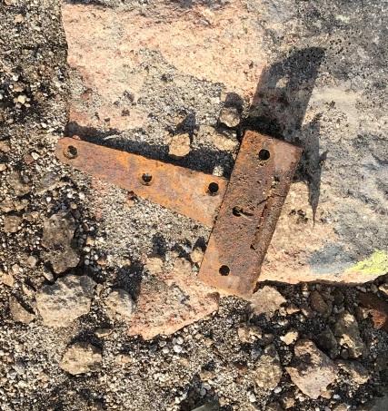
Quite a bit of stuff laying around
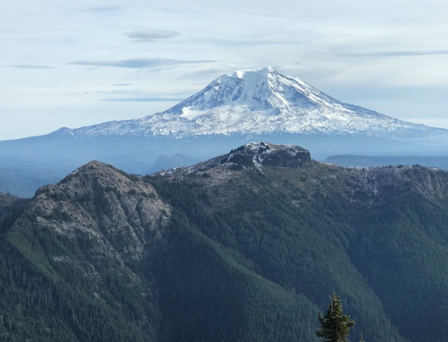
Jumbo Mountain and Mt. Adams
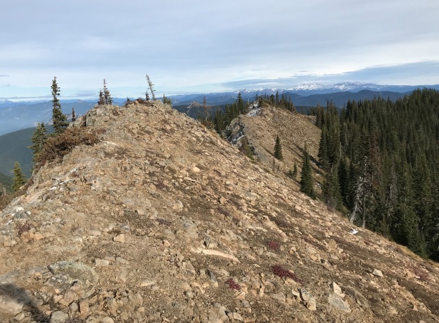
The lookout site from a short distance back
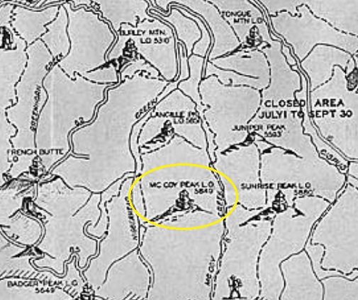
1937 recreation map
Two trails reach the summit
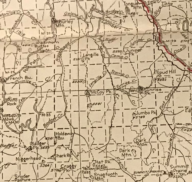
1940 Columbia National Forest Map
Lots of metal down the hillside at the lookout site


