
Lynx Creek Lookout Site
WillhiteWeb.com
Elevation: 5,709 feet
Hiking Distance: 1 to 2 miles
Elevation Gain: 600 feet
Access: Good for most cars if care is taken
This lookout site is described by the Kresek inventory as: 1926: log cabin just below summit, alidade at top. 1932: frame cab atop west summit. 1938: 30 foot steel tower with a 7x7 foot cab. Abandoned 1952. Gone.
It seems to me from the description and after visiting, that the 1926 log cabin was a living quarters while the lookout was at the summit. As was common with most early lookouts in the 1920s, the lookout person would be in a ground house or camp while the lookout tower or highpoint was located nearby. The later structures built on the summit of Lynx only point that the summit was where fire spotting was taking place and the guards preference would be to live at the spotting location, at the summit.
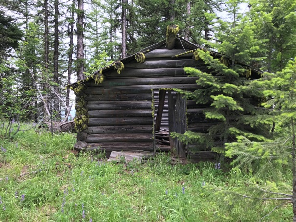
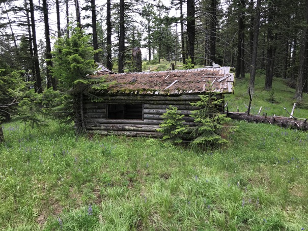
The cabin has limited views due to the higher ground on the east and west sides. It was built in a location out of the wind and elements. Based on what I’ve seen at other sites, the cabin was not used for spotting fires and is not on my list of standing lookouts.
It would be nice to know what the “WEST” summit refers to. Is it the point just west of the cabin or the point way over at 5,408? I checked both western locations but found nothing there but views. The true summit east of the cabin has small wood debris and large amounts of glass which would match the steel tower. There was no footing evidence which seems strange for a steel tower. If a steel tower was on the true summit, it must have been removed from the site to be used elsewhere, because no steel is there. The summit also has few if any nails, large wood or footings to suggest a frame cab, so if it existed, the WEST summit (wherever that is) is likely.
The first reference we have documentation for was on September 14, 1931 in the Wenatchee Daily World newspaper that said, “The Cody Butte and Lynx Creek lookouts were relieved after Saturday night's rain.”
Access:
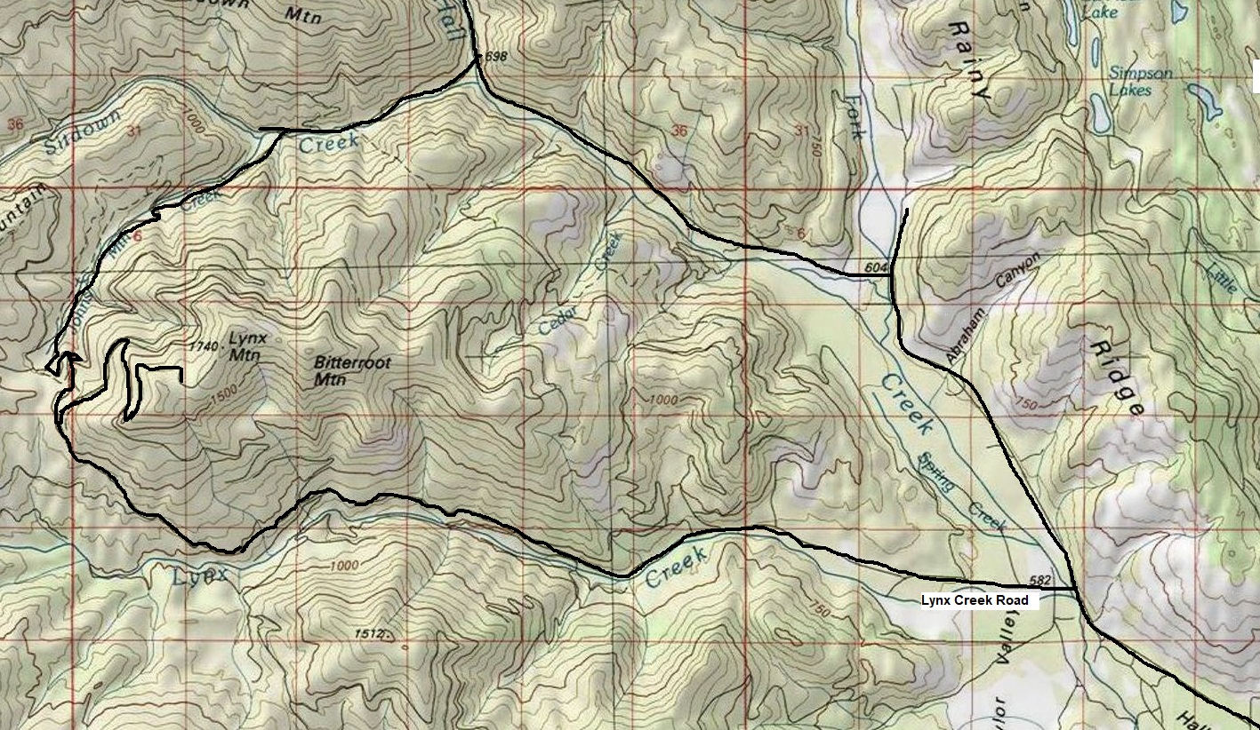
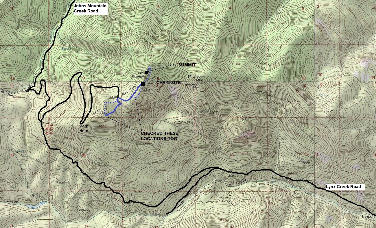
Lynx has pretty good access. I came in on the southern approach up Lynx Creek Road. This approach merged into the northern approach that goes up Johns Mountain Creek Road. I left via Johns Mountain Creek Road so I drove both. I would say the northern one is slightly better. Both could be done with most vehicles if care is taken. The final mile is overgrowing really bad. Park where I show "park". I pushed my Jeep through the Alder trees all the way to the saddle at 5305 feet in 2019.
Route:
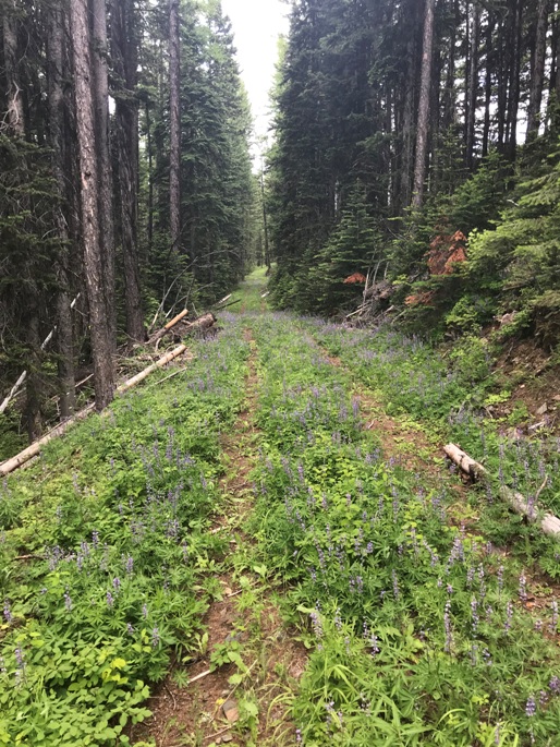
An old road goes all the way to the cabin just below the summit. In places, alder trees in the open area are making travel on the road difficult. Once in the forest near the top, the road is easy to walk. From the cabin, the lookout site is up the hill on the left toward the rocks. You must skirt below the right side of the rocks to get to easier terrain that accesses the summit above the rocks. I also hiked to the two WEST summits, the one near the cabin and the far location marked with the elevation of 5,408 feet.
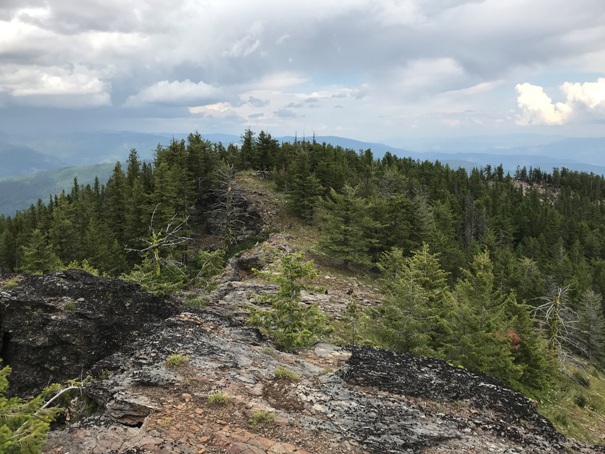
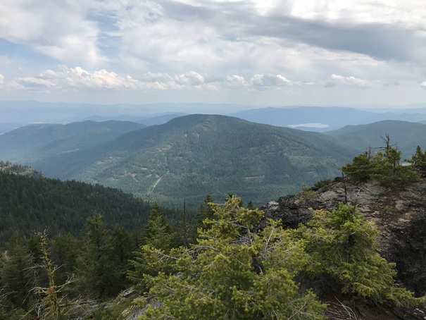
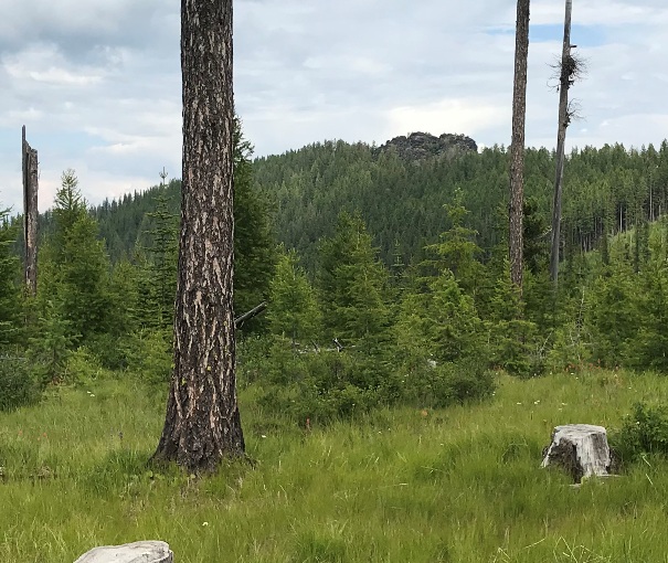
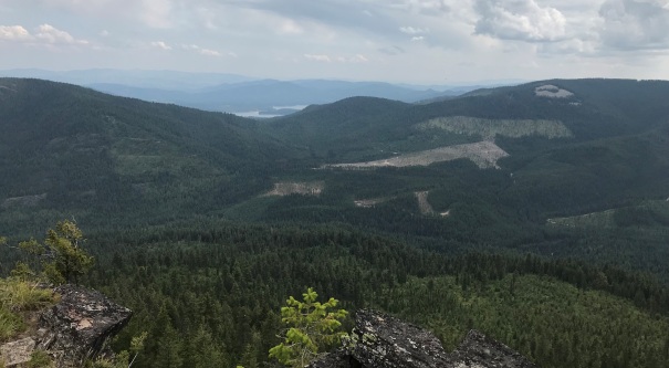
Looking NE from the summit
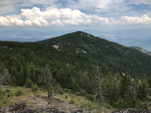
Looking East from the summit to a small knob (could this make the top the west summit?)
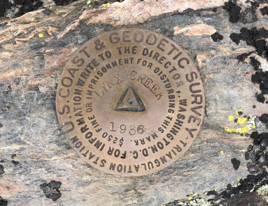
1936 Lynx Creek Benchmark (note the 1931 newspaper article called this lookout Lynx Creek as well)
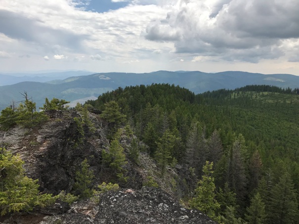
Looking SW over to the knob just west of the cabin (center) and the far west point 5,408 (on right).
Sleeping quarters cabin at the pass
Sleeping quarters cabin at the pass
Glass at the summit
Bitterroot Mountain attached to Lynx Mountain (should probably check for a patrol point over there)
Final road just before the cabin
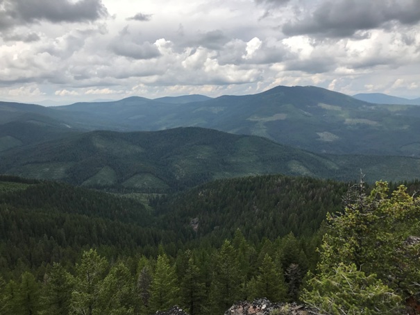
Views from point 5,408.
Views from point 5,408.
From point 5,408 looking up to the summit rocks.
Locations visited, I also saw a bear at about 4,000 feet on my drive down.
Access map, used both roads in 2019.


