Little Mountain Lookout Site
Located in the heart of the Cedar River Watershed, Little Mountain rises prominently, over 1,200 feet, out of the center of the valley. Chester Morse Lake is on two sides and if the lake level was much higher, the entire mountain would be an island.
Lookout History
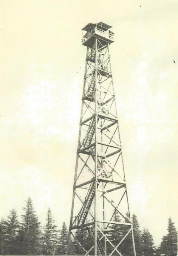
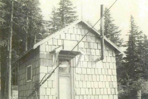
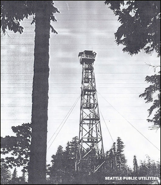
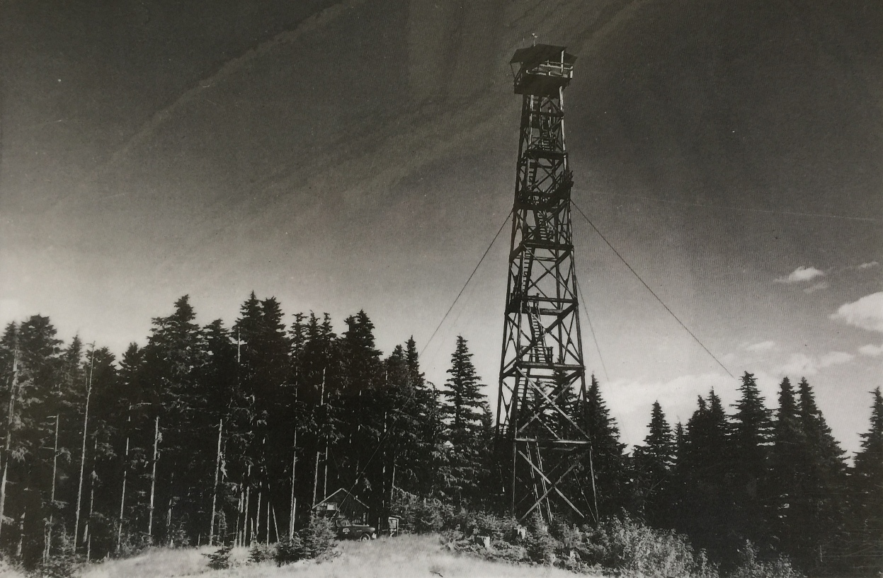
The Little Mountain Lookout was built in 1935 by using a logging skyline cable system to send the materials to the summit, thus not requiring the need to build a road. The 7x7 wooden cab with catwalk was on a 100 foot wooden tower. At the base was a ground house. In 1942 the site was considered for an Aircraft Warning Service post but the tower was “too high for continuous use during the winter”. The ground cabin below wouldn’t work because only an acre of timber had been felled to provide visibility for the tower….very little could be seen from the ground. At this time, the summit was reached by a two mile trail from the road around Cedar Lake and the phone line came from the dam. The fire tower was destroyed in 1969.
We learn about the construction from a July 1935 article in Six Twenty-Six. "With the advent of 'cats' for logging there is grave danger that skyline rigs like buggy whips, hoop skirts and mustache cups, will be consigned to obscurity, unless new uses are found for them. City of Seattle's Forester, Alen Thompson, and Supt. Gusti of the Pacific States Lumber Company have one to offer. They were confronted with the problem of delivering materials for a 100-foot ring connected tower to the top of Little Mountain in the Cedar River watershed and hit upon the idea of using one of the logging company's idle machines. Gusti rigged up a skyline and sent materials to the top of the mountain via the air, saving the expense of importing a 'cat' to build a road and a truck to do the hauling as was originally planned. W.H. Lund" (Six Twenty-Six)
Elevation: 2,972 feet
Distance: 0.4 miles
Elevation Gain: 220 feet
Access: Permission/guide needed from City of Seattle Watershed

WillhiteWeb.com
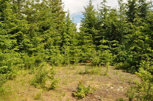
Looking west in 2017
Looking east in 2017
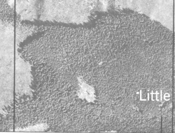
1940s aerial showing the clearing and lookout tower on the summit of Little Mountain
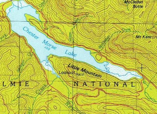
1975 USGS showing lookout on Little Mountain
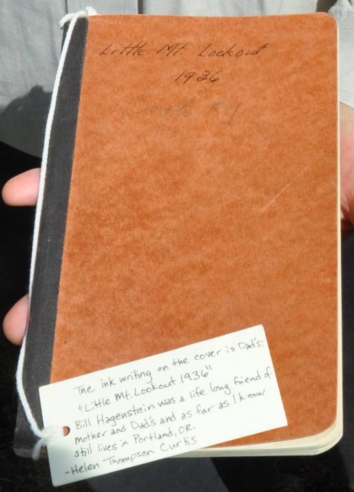
Little Mountain Lookout Register from 1936
Little Mountain groundhouse and shed behind
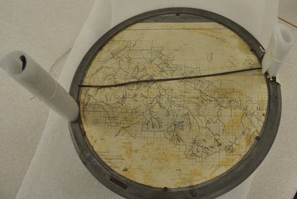
Little Mountain firefinder in watershed archives
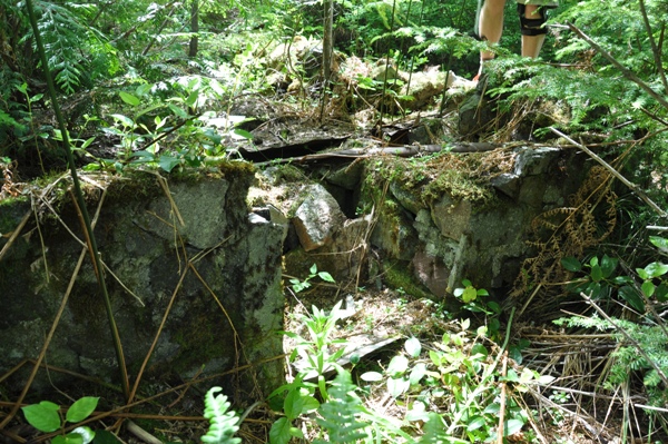
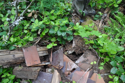
Ground house foundation
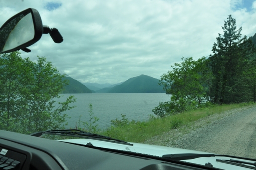
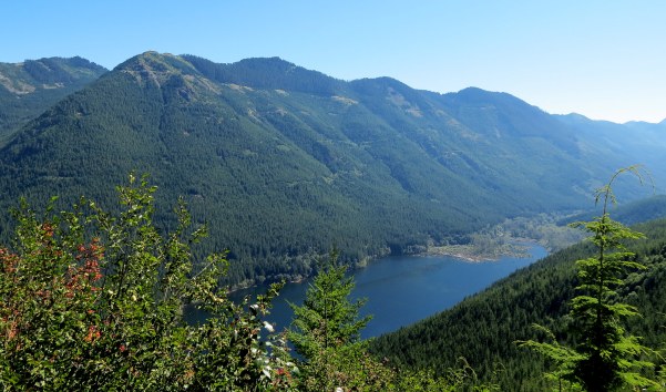
In route to Little Mountain in the distance across Chester Morse Lake
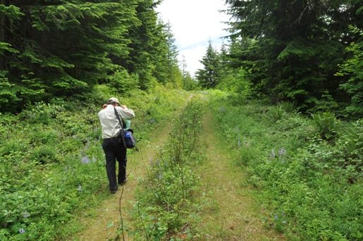
Overgrowing final section of the Little Mountain Road
Metal tripod
Inside foundation of the groundhouse
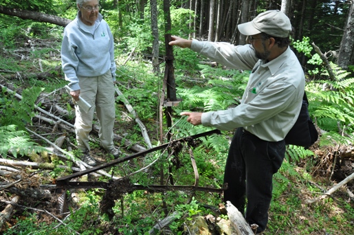
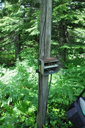
Phone parts and post still standing
Little Mountain Fire Lookout
Little Mountain Fire Lookout
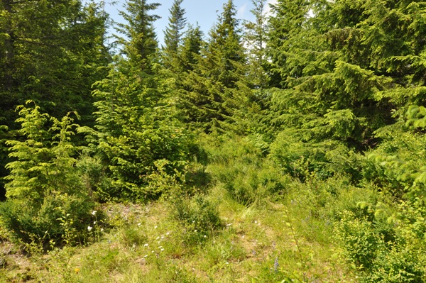
View now overgrown from Little Mountain looking up the watershed
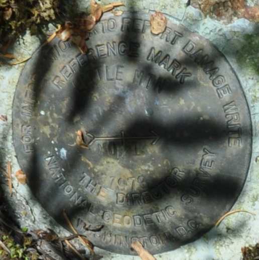
Little Mountain directional benchmark #1, placed in 1978
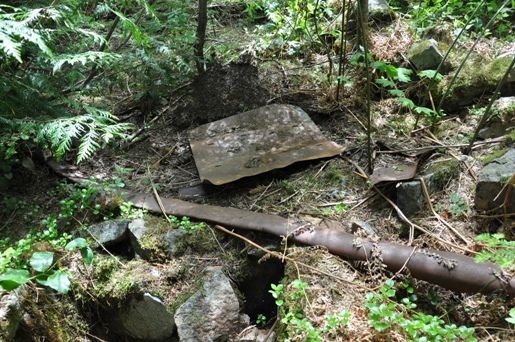
Parts of the shed, we believe
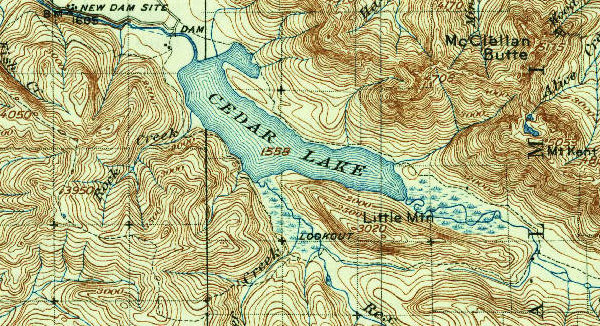
1938 edition of a 1913 map
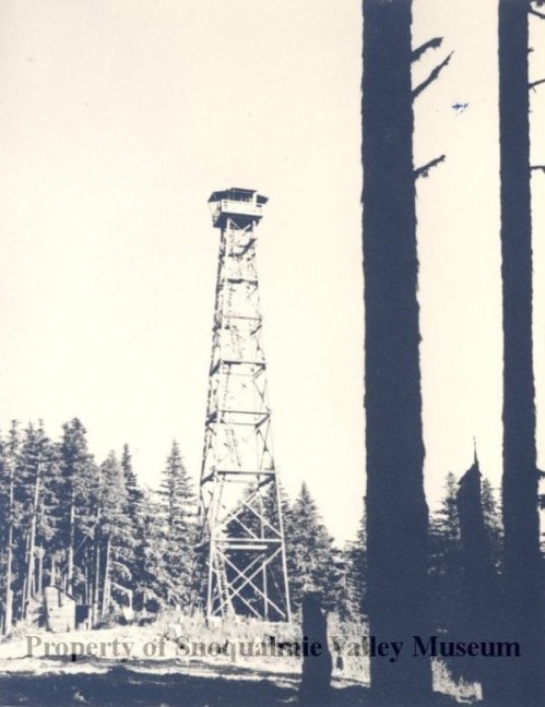
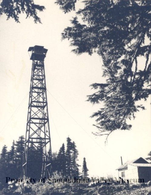
Photo by H. Hansmeier
Photo by H. Hansmeier


