
Little Baldy Peak Lookout
WillhiteWeb.com
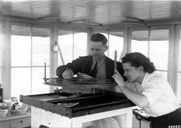
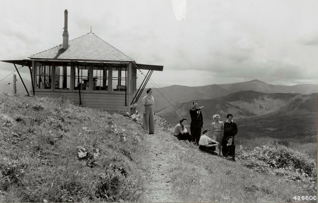
Built in 1933, this was an L-4 cab resting on the south end of the ridge. Panoramic images were taken from the roof on August 16, 1936, revealing a road went to the lookout site. In 1938, the lookout was Osmar Ladiges. This structure was likely no longer used by 1957 when nearby Nester Peak Lookout was built by the DNR.
Elevation: 2,924 feet
Hiking Distance: Drive-up
Access: Good for any vehicle
Note: There are panoramic images for a different Little Baldy in the nearby Yacolt State Forest.
Access:
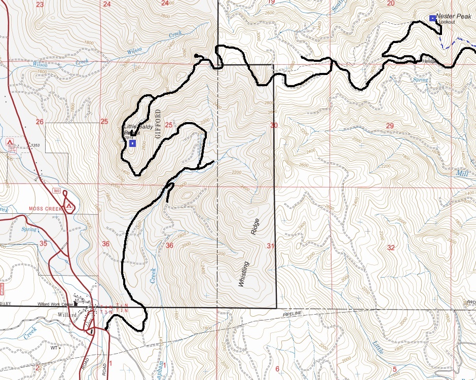
From Willard, go east on Willard Road, cross a bridge over the Little White Salmon River and find a forest road going uphill on the left. Follow this road up to a major Y intersection. Use map provided. Follow the right at the Y and park just below the summit at the switchback. The lookout site is a short walk on an overgrowing trail to the south.

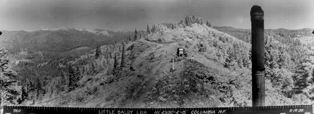
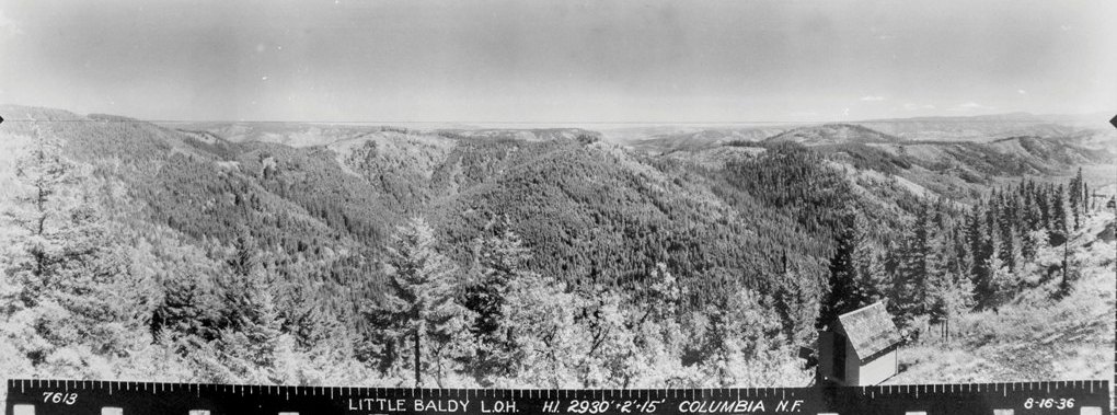
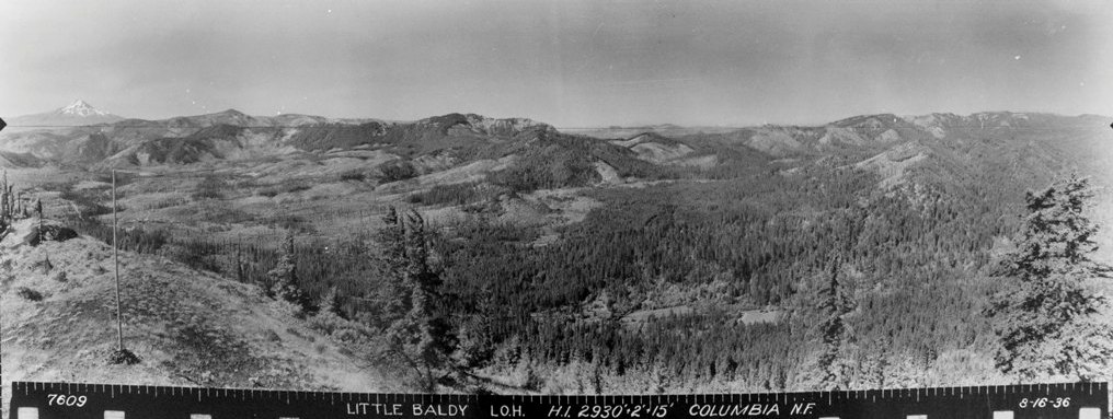
Looking Southwest, August 16, 1936
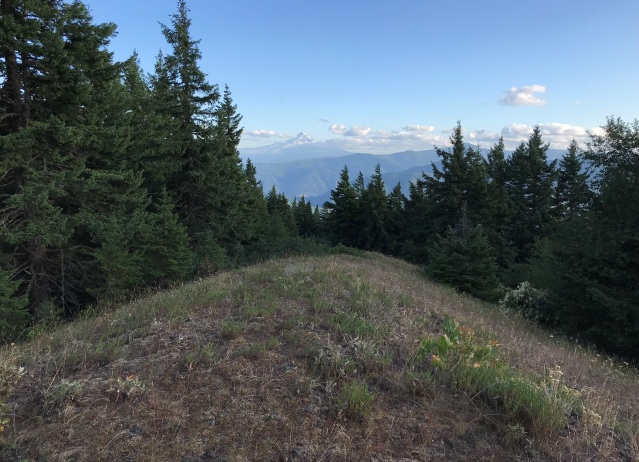
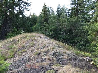
Looking South 2019
Looking West 2019
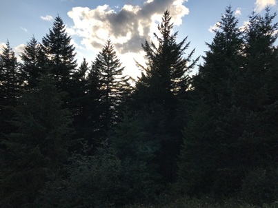
Looking East 2019
Looking North 2019
Looking Southeast, August 16, 1936
Looking North, August 16, 1936
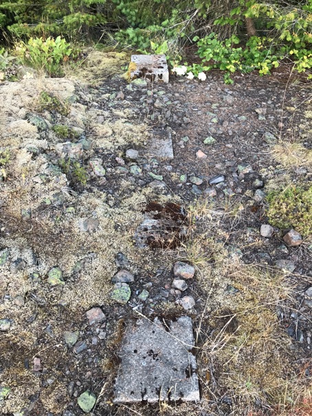
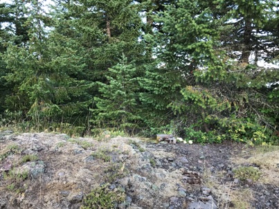
Footings of the cab
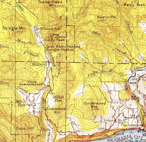
1926 USGS map, updated 1955 version
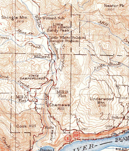
1929 USGS map, updated 1950 version
Access from Willard, also showing nearby Nester Peak lookout
Elenor Bradley
Trails club of Oregon
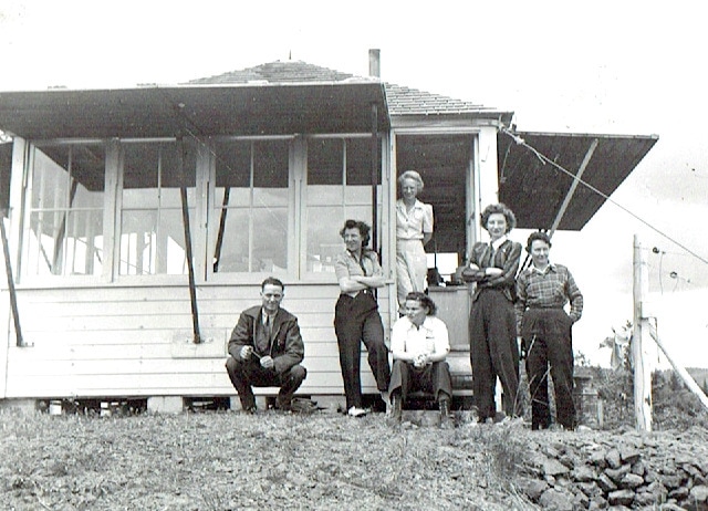
Margaret Peattie & Alma Nelson
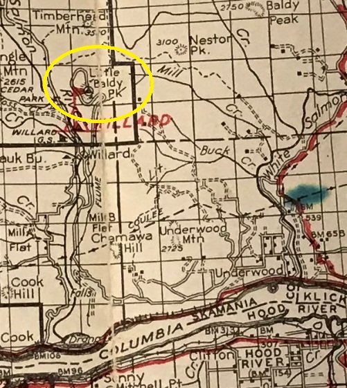
1940 Columbia National Forest map
Frank E. Lewis
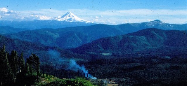
Looking South to Mt. Hood in 1950
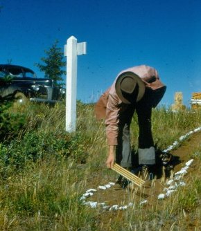
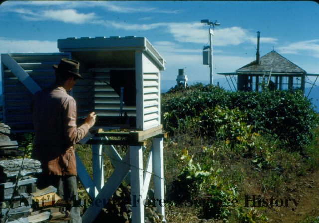
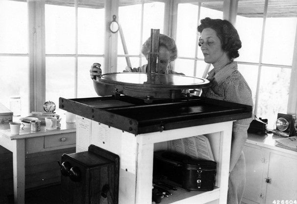
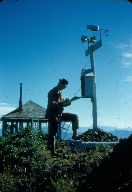
Weather Observations (1950)
Checking fuel moisture (1950)
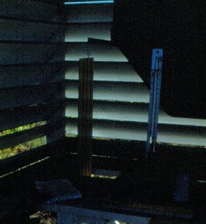
Inside weather box
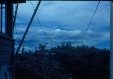
Deer visiting the lookout


