Mount Leecher Crows Nest
Elevation: 5,000 feet
Hiking Distance: Just a few hundred feet off the roadway
Elevation Gain: 30 feet
Access: Good Gravel
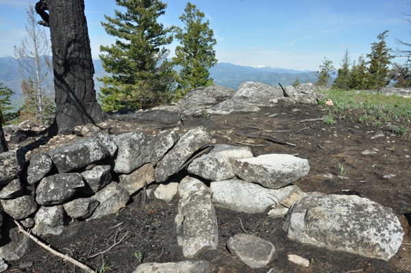
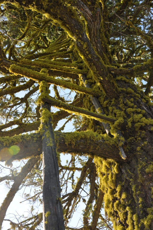
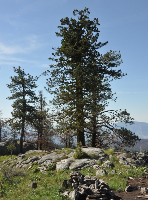
In 1918, there was a crows nest in a tree located 1,000 feet south of the summit of Mount Leacher. It was likely built as a patrol point for the main summit lookout site on Leacher. For over 100 years now, the tree still stands, even surviving a forest fire in 2014 that burned neighbor trees and the old campsite below the tree.
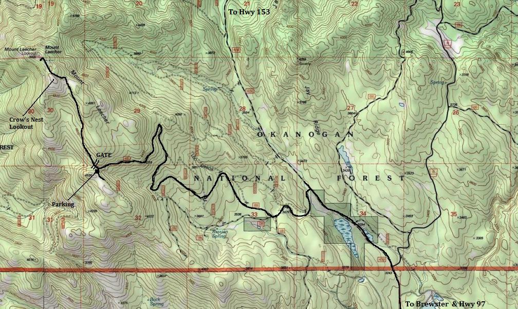
From Twisp go east on Highway 20 for 2 miles, then turn south on Highway 153. Continue south on Highway 153 for 3.1 miles and then turn left on Benson Creek Drive (FR 4150). Follow for 9.8 miles to the junction with French Creek Road. Turn right, and keep right at the fork at 0.6 miles. Follow French Creek Road for 4.7 miles to the summit or park at the gate if it is closed.
From Brewster, take 7th St. North a few blocks, then turn left on Paradise Hill Road. The pavement ends at 4 miles at a Y with Rat Lake Road. Go left, follow to a Y where the right turn has No Trespass signs. Use map. A bit further around the bend is a road to the left with a gate (hopefully open). Turn left and follow as the map below shows up to the summit.
Access:
WillhiteWeb.com
It is not a far walk from the summit lookout along the ridge. Or, you could park a bit before the lookout and climb up the hillside to the tree.
Route
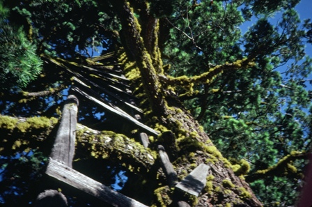
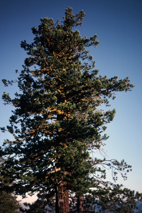
Crows nest tree 1980ish. Photo by Randy Webb.
Leacher Crows Nest Tree in 2015
Leacher Crows Nest Tree in 2015
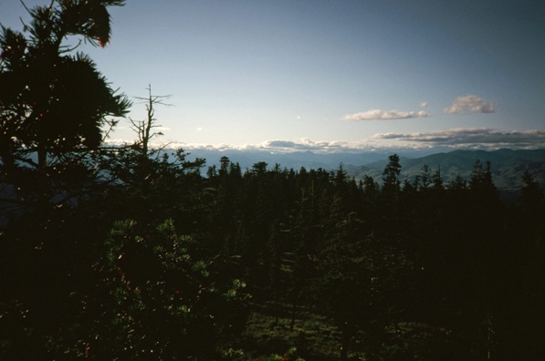
View from the crows nest tree 1980ish. Photo by Randy Webb.
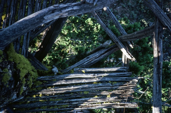
Platform of the crows nest tree 1980ish. Photo by Randy Webb.
Crows nest tree 1980ish. Photo Randy Webb.
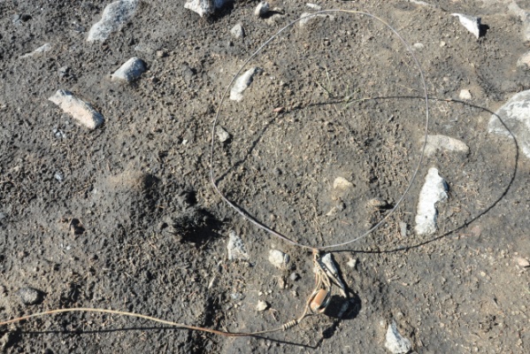
Some phone line below the tree
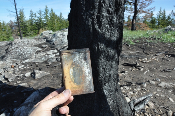
Found a tobacco can thanks to the fire burning all the underbrush
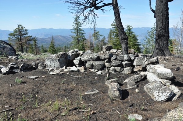
Camp area below the tree
Camp area below the tree
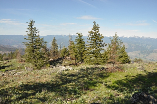
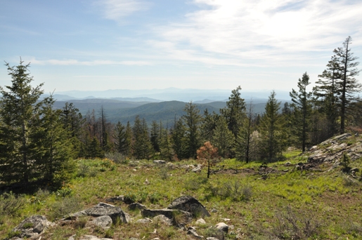
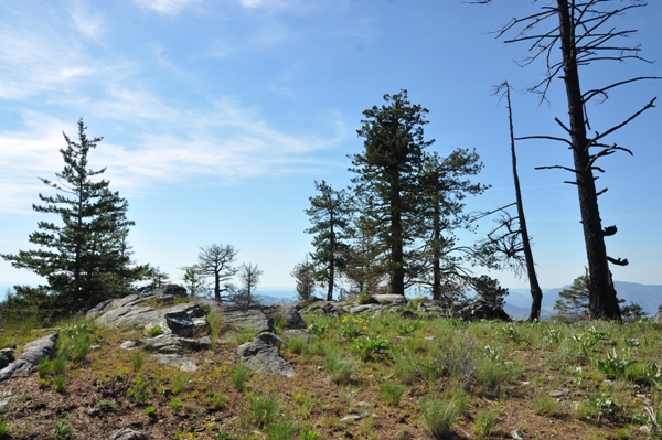
Ground view
Ground view
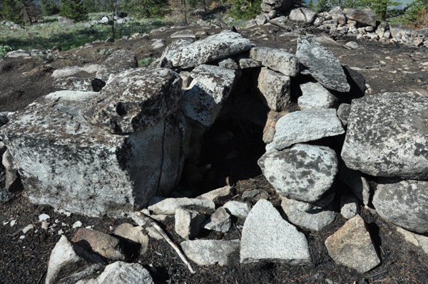
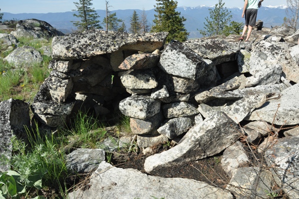
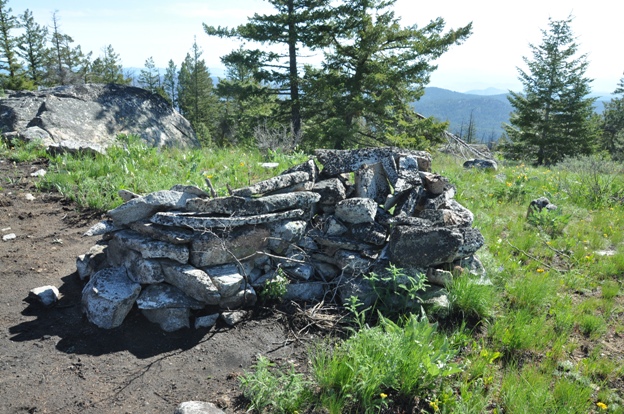
Rock shelter of some sort
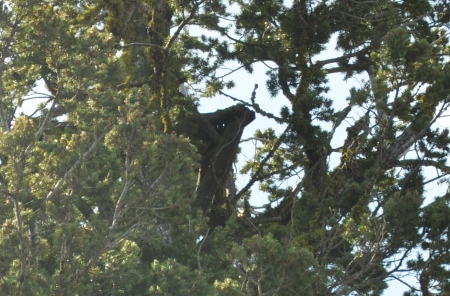
Trying to zoom to the platfrom
2 trees to the right of the crows nest tree burned


