

Hungry Peak Lookout Site

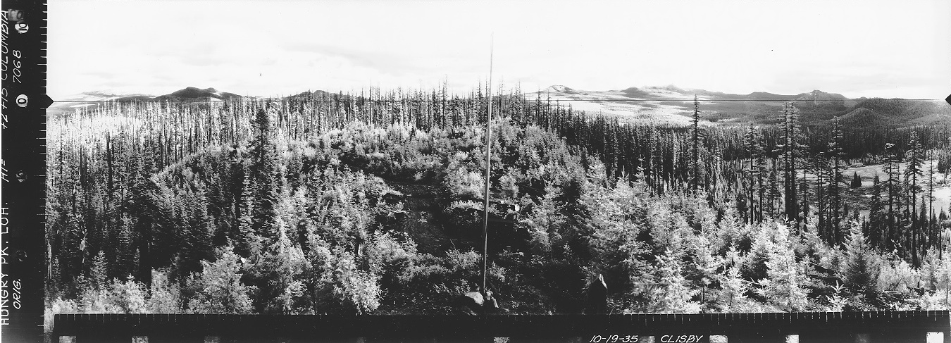
Hungry Peak Lookout was an L-5 cab built in the early 1930s. Panoramic images taken in 1935 show a flagpole and some sheds. The photos were taken 15 feet above the ground, plus 2 more feet. The summit benchmark was placed in 1937. Today, trees have overtaken all the views. I'm sure there are some interesting things down below the cliffs but I had my 2 year old with me so I didn't search the area. In 1964, a USGS party said the lookout house had been destroyed.
Access:
Use map to figure it out. The final spur is very hidden. You leave the main road and drive through some grass that hides the road. Then you go through some tree branches hiding the road. Once in the forest, the road appears and you can drive it up to the old circular loop and parking right below the lookout site. A 20 foot trail takes you to the site.
Lookout Elevation: 4,048 feet
Hiking Distance: Drive-up or 0.25 miles
Elevation Gain: 100 feet or so of gain if you walk
WillhiteWeb.com: Fire Lookouts

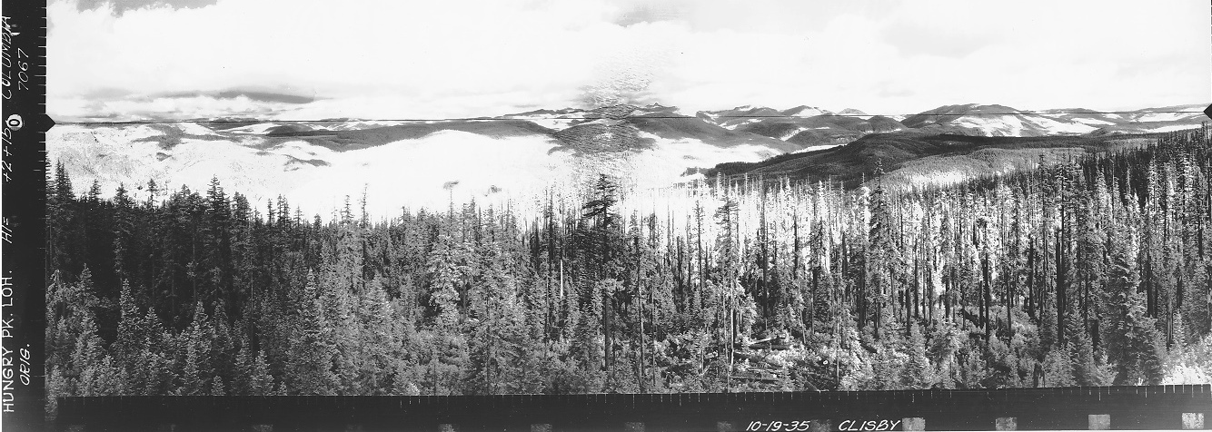
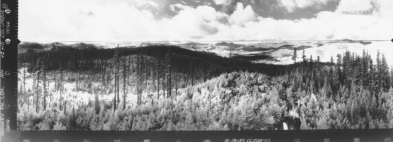
Southwest View 1935
North View 1935
Southeast View 1935
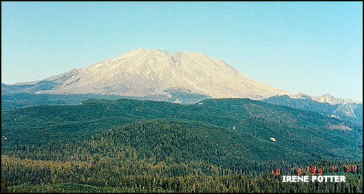
There was still a view to Mt. St. Helens on October 3rd, 1999


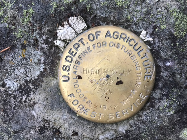
Hungry Peak Lookout R.M. 1937
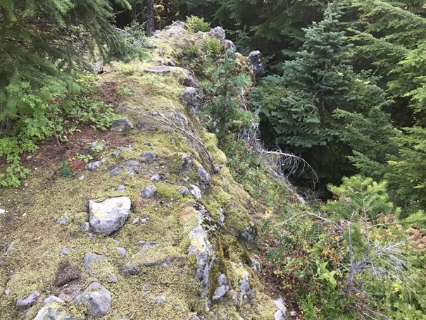
Small cliffs surround the summit area
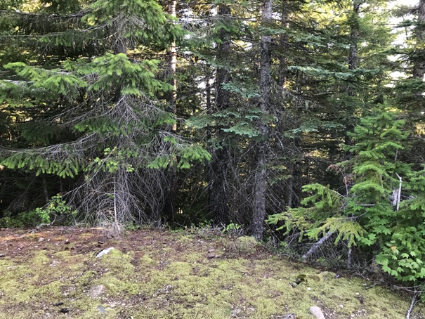
Trees now block views
Trees now block views
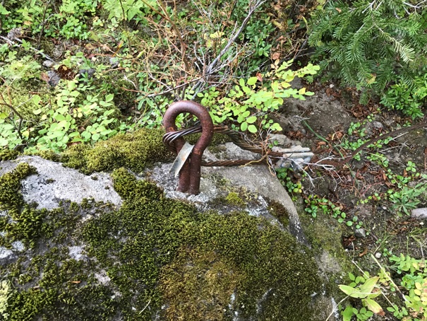
Anchor bolt just down the hillside
Footing below the surface with steel anchor coming up
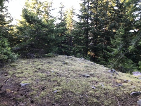
Former lookout site


