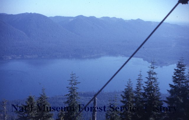
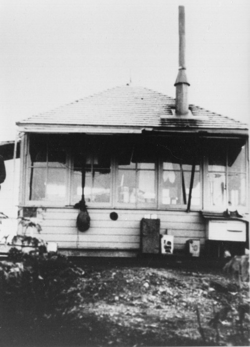
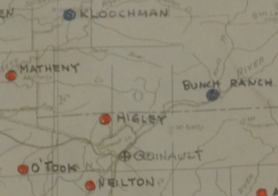
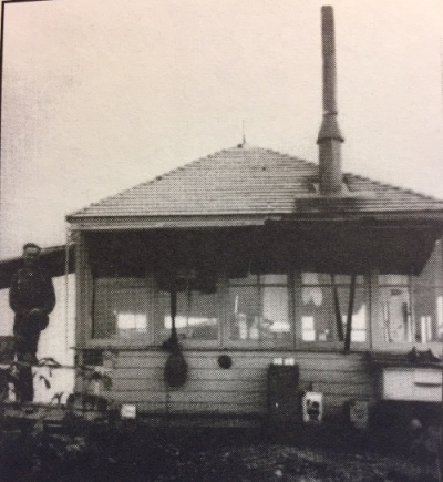
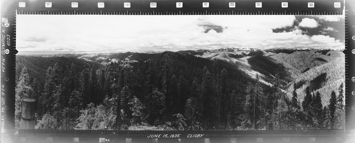
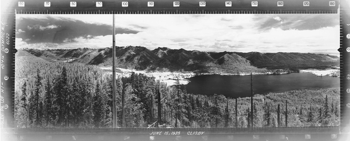
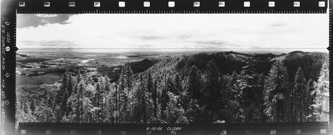
Located on the boundary of Olympic National Park, Higley Peak is the site of a former lookout and was used by the Aircraft Warning Service during WWII. In 1932 or 1934 a 14 x 14 foot hip roof cab was on the summit. Panoramas were taken from the roof in 1935 by George Clisby at 14 feet above ground. In 1944, the AWS observers occupied the site adding an 8 x 16 foot cabin for year-round living. With little room on the summit, the cabin was built on the steep hillside just below, as the footings hint today. In 1964 the lookout was rebuilt on a wooden tower. Another source says in 1957 a 40 foot treated timber R-6 tower was placed. In 1973 the lookout was no longer needed and removed by helicopter. There are two suggestions on what happened next. One source says the tower and cab fell into Lake Quinault and sank. The other source says the cab and tower were used at the Snohomish County Airport. Shortly after removal, the summit was used as a radio reflector tower. This equipment was removed in 2002.
Higley Peak was named for Alfred Higley who came into the area with his son via the historic Oíneil Expedition trail at the same time as Lieutenant Oíneil was doing it. They settled at Lake Quinault and built the Quinault Hotel in the late 1800ís for travelers who came to the lake on horseback over a trail blazed by settlers from the south. The hotel burned down in 1924. Ironically, the owners at the time (Olena Egge), was up on top of Higley Peak having a picnic with her family when they saw the smoke of the hotel burning. By the time they got back down and across the lake, it was gone. The following year, plans were made by others to build the iconic Lake Quinault Lodge which we enjoy to this day. Alfred Higley was also a postmaster, served as an appointed U.S. land commissioner, became a deputy sheriff and later a justice of the peace.
Elevation: 3,025 feet
Distance: 1/2 mile
Elevation gain: 272 feet
Prominence: 1220+
Access: Good gravel roads
Access:
WillhiteWeb.com
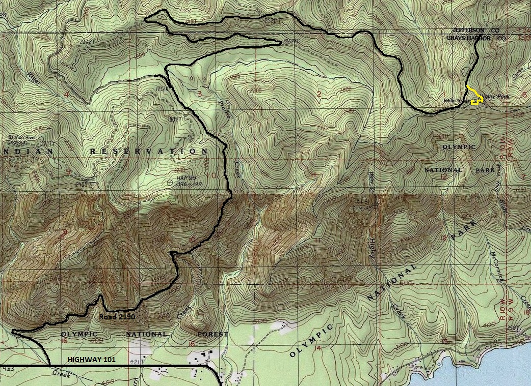
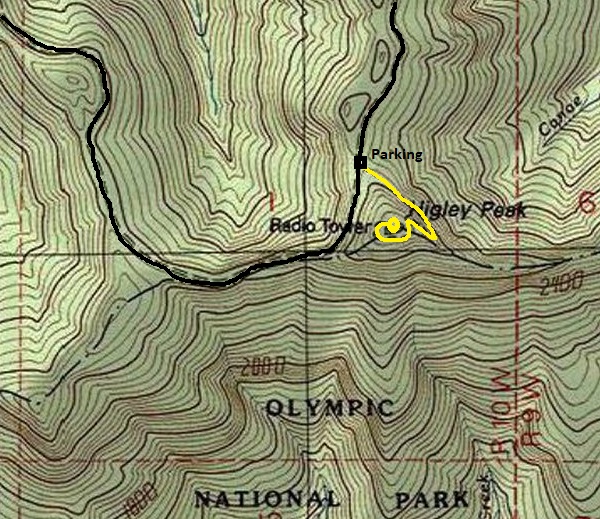
The first half of the drive is on the boundary with the Quinault Tribe. The left side is tribe land and the right is Olympic National Forest. Turn off Highway 101 on well-signed Prairie Creek Road No. 2190 approximately 2.2 miles north of the Quinault North Shore Road. Go 6 miles to an unsigned junction. Take the right, the lower of the two (left will go onto Tribe land and is the way to the Salmon River lookout site). In a quarter mile further is another junction. Left is road 2140, but go right. Follow this road until you are roughly 10 miles from Highway 101. The trailhead parking is sufficient for many vehicles, find the hidden trailhead in the corner of the parking area.
Route:
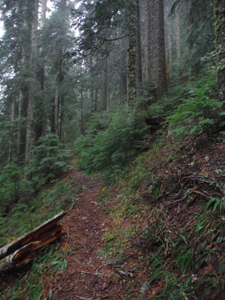
Follow the nice trail to the summit. Depending on maintenance, there may be some trees to scramble around and over. Summit views are gone.
Higley Peak Lookout Site




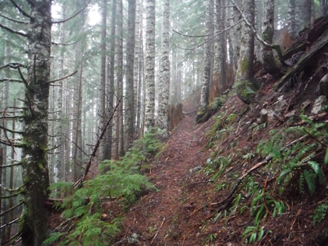
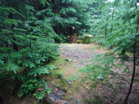
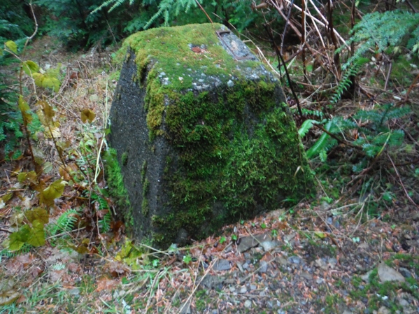

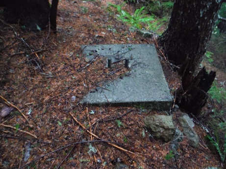
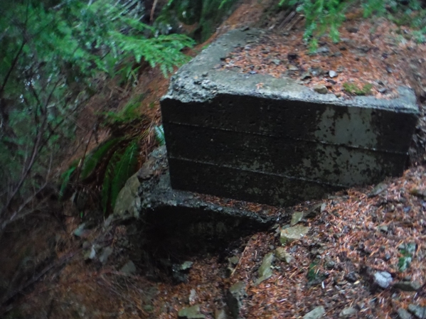
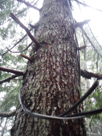
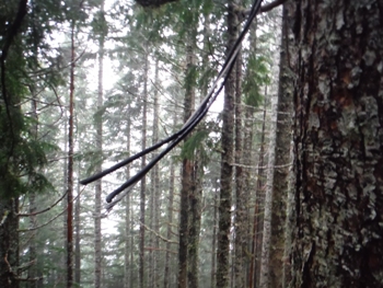
Near the start of the trail
Nearing the summit
Board and bolt at the summit
Tower footing
Foundation block
Footing for communications
Weston Harner in image
Same image as above with Wes Harner cropped out
Southwest - June 15, 1935
Southeast - June 15, 1935
North - June 15, 1935
Radio Reflector wires
Radio Reflector wires
Higley Peak access map
Aircraft Warning Service Map
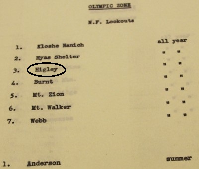
Higley was a all year AWS station
AWS observers: Thor Thorsen and Frank Smith
Access in 1942
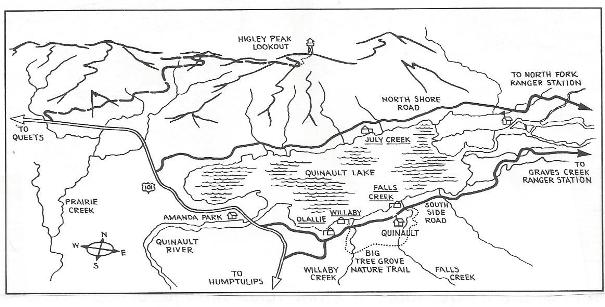
Trail map for Higley Peak
Aircraft Warning Service Map
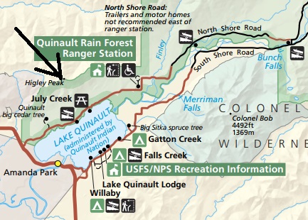
National Park map shows Higley Peak
From old hiking guidebook
AWS list 1942
What to do with list
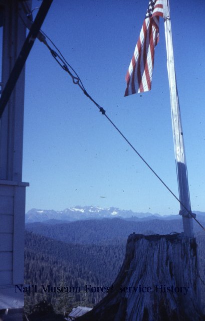
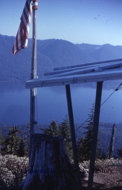
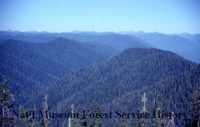
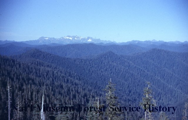
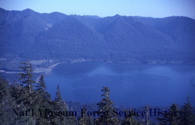
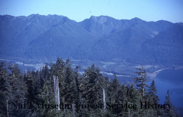
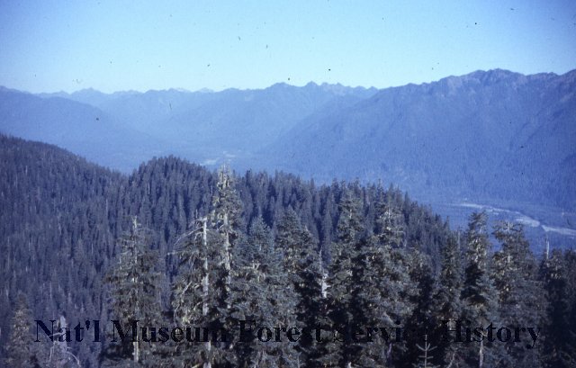
1957 Ron Welsh photo
1957 Ron Welsh photo
View in 1957, photos by Ron Welsh
Lake Quinault Recreation Area map from the 1930s or 1940s


