

Goose Creek Point Lookout Site
WillhiteWeb.com: Fire Lookouts

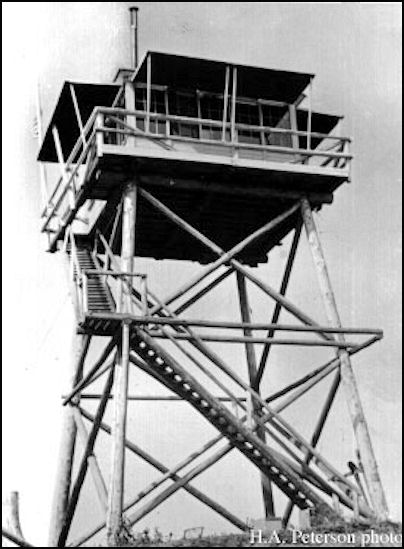
Goose Creek Point lookout was built in 1938. It was a 30-foot pole tower with an L-4 cab on top. The lookout was removed in the 1950s.
Access:
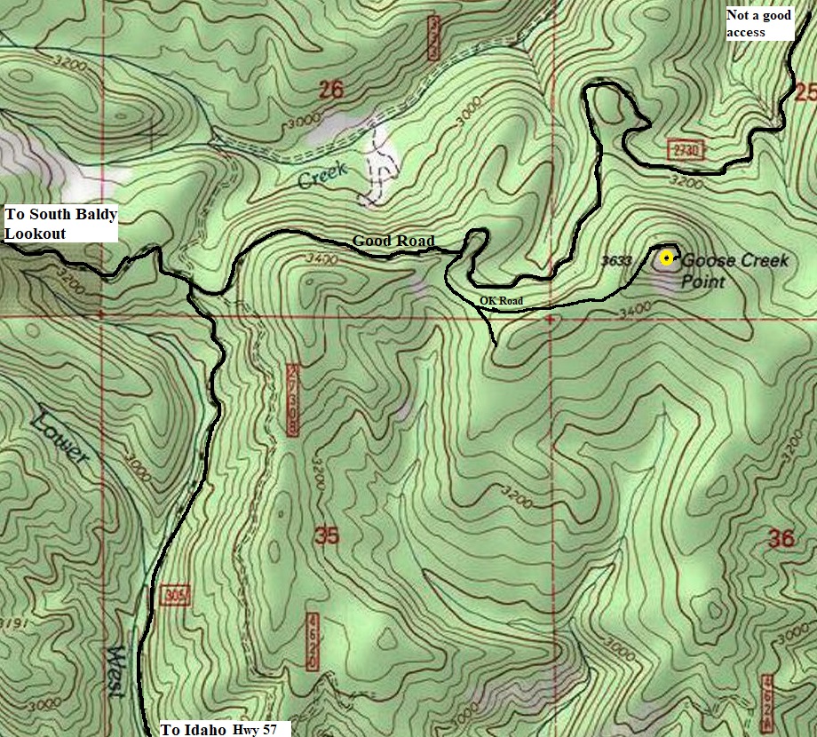
From Usk, take Kings Lake Road over the Pend Oreille River to an intersection. The Kings Lake Road goes straight. Go past the campgrounds and follow FR50 up to the ridge. Go north on the ridge a short distance to a Y. Left is South Baldy Lookout, but you want to go right. Follow the right fork for several miles until you arrive at the provided map. An alternative route is taking Highway 57 north of Priest River Idaho. Taking Bear Paw Road, then the Boswell-Kings Lake Road.
Elevation: 3,633 feet
Hiking Distance: 0 to 3/4 mile
Elevation Gain: 0 to 300 feet
Access: Good Gravel Roads
Route
You can drive to the top but many trees were down when I visited. So, drive the spur road as far as possible, then walk. Even if walking from the main good gravel road, the walk is around 3/4 mile.
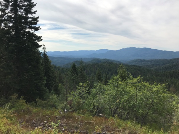
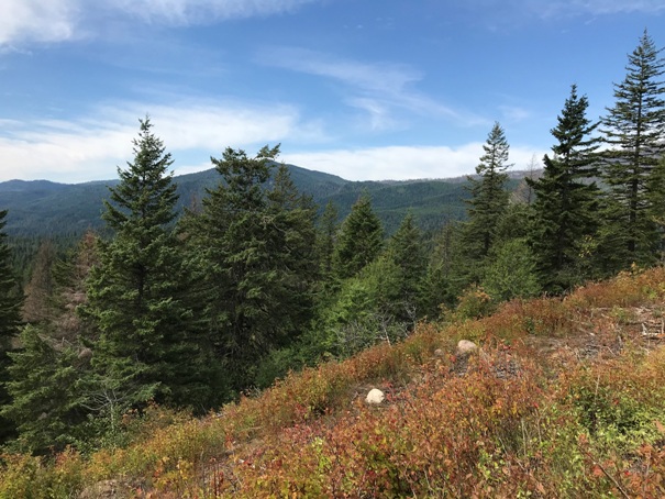
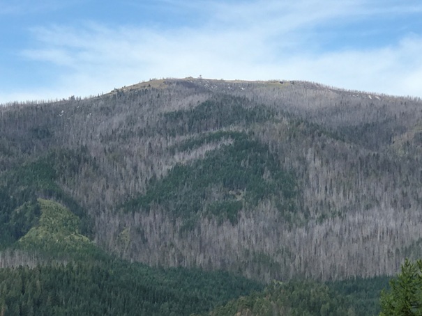
Approaching the top you get a view of South Baldy Lookout Tower
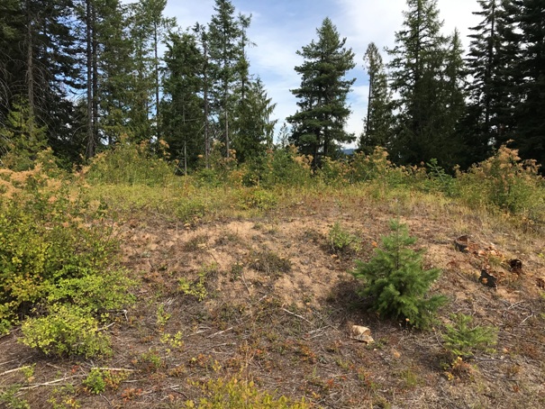
Goose Creek Point Lookout
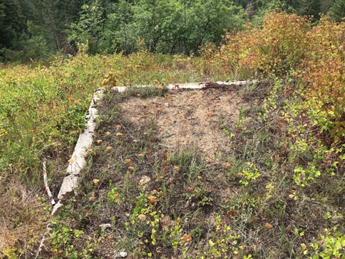
Foundation for a garage (maybe)
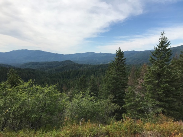
Views still holding on to the South
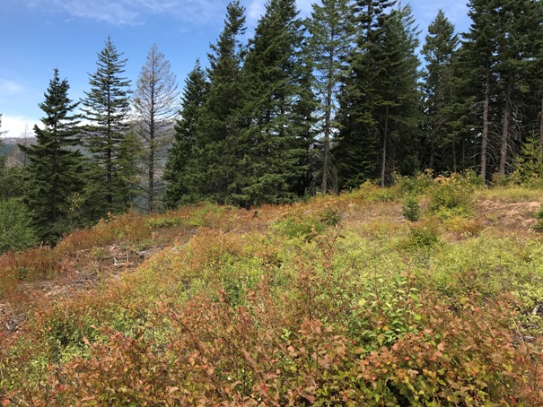
Ramaining views are blocked by trees


