There is little information about this location and no map shows it, but several sources help give a timeline.
In the 1940s it was reported to be a camp.
In the 1960s, a cab and trailer reported. (Likely a mobile trailer lookout).
In 1962, the lookout was Gladys Bertrand. (Ten-eight publication)
In 1963, the lookout was Gladys Bertrand. This was the last year for Gobblers Knob. In 1964, Gladys Bertrand had moved over to the new lookout site on Salmon River Ridge. Even there, it was reported to be a trailer for a few years until they got a cab built.
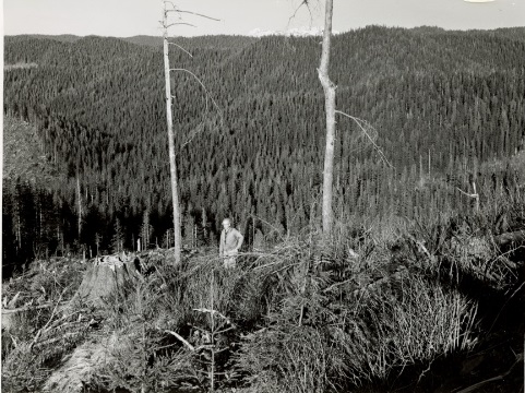
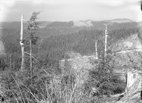
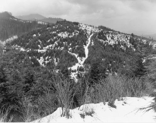
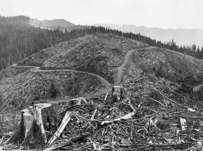
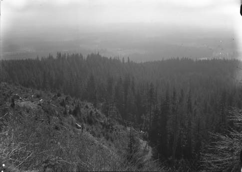
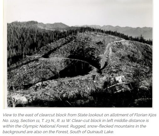
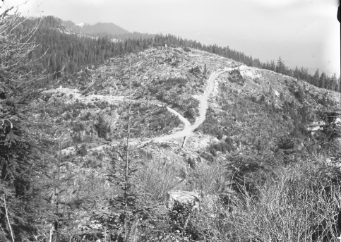
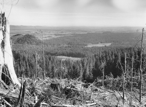
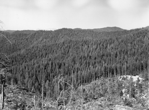
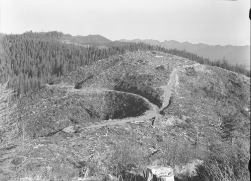
We do have numerous pictures from the lookout site on Gobblers Knob thanks to Harold Weaver. He was a forester who took hundreds of photos on the Olympic Peninsula tree stands and documented tree growth and methods. In his detailed notes, he said the site was a State Lookout and confirmed it was called Gobbler Knob. The Harold Weaver Collection of photos can be found on the Forest History Society website.
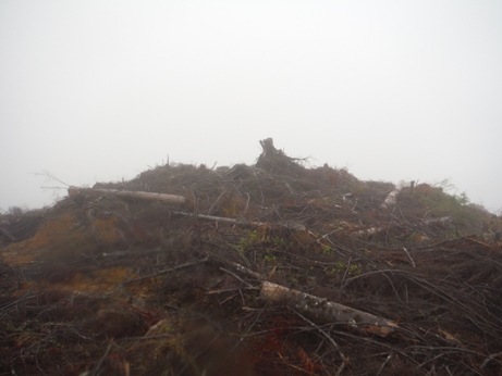
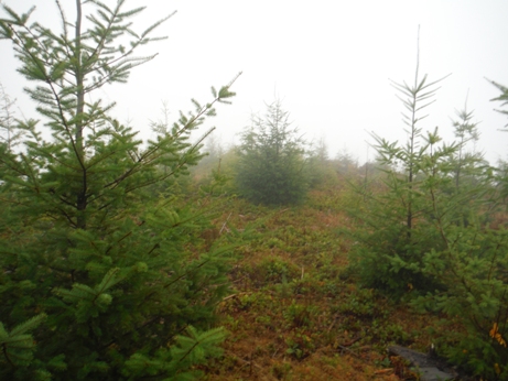
I did not find any evidence on the summit but it had been logged a few times. The summit had an old road to the top and has been leveled a long time ago. The north half of summit was harvested last around 2010, the south half in 2016. The harvest before that looks like around 1959, which might match the year the DNR put a trailer on top.
Elevation: 1,646 feet
Distance: 1/2 mile or less
Elevation gain: 150 feet
Access: Gravel roads
Access:
WillhiteWeb.com
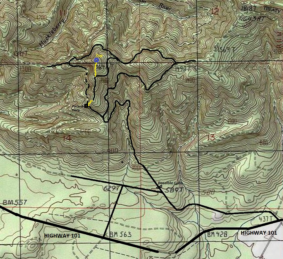
There are a few routes off Highway 101. At the time I visited, one route had no trespass signs while the other route had no signs prohibiting access. Expect changes. This is Quinault Tribe lands so having permission is now required. I parked fairly low since I did not have my updated map at the time I hiked it.
Gobbler Knob Lookout Site
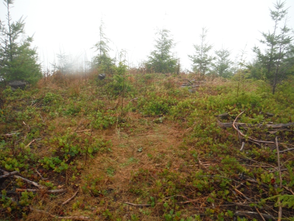
Flat summit of Gobbler Knob
Foggy visit to Western point on the summit of Gobbler Knob
Summit area
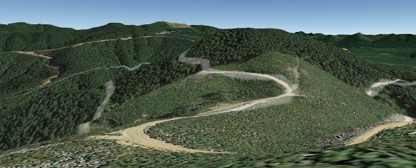

Google Earth from Gobbler Knob
Just one of the labels for the photographs taken by Harold Weaver, others use name Gobbler Knob instesd of the STR
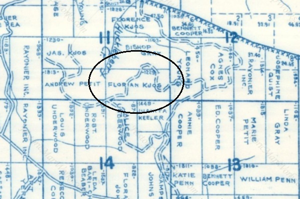
1962 Metsker Map shows ownership allotment to Florian Kjos as the article on right says
(From an article on the Forest History Society website)
April 1966
Looking South August 1958
April 1966
Looking North-Northeast August 1958
Don Clark at Gobbler Knob
Looking East on April 19, 1972 with snow
Looking East on October 24, 1962
Looking East on June 18, 1965
Looking East on April 27, 1960
4 different visits from the same location over 12 years


