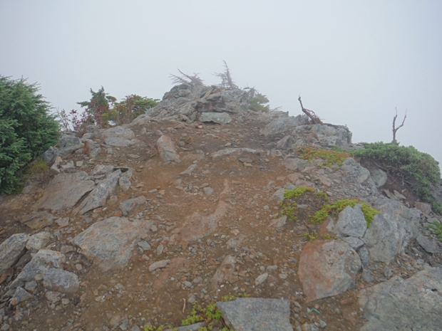
Located well inside Logger Island, the Gee Point lookout site is one of just a few redeeming trips at this time in history. Although the trail is short, you can visit Big Gee Lake with the extra time you�ll have. The lookout was an L-5 cab built in 1934 and abandoned in 1964. During WWII, it was used as an Aircraft Warning Service Station.
Access:
From Highway 20, turn right onto the Concrete-Sauk Road. In one mile cross the Skagit River and bear left going 8.8 miles to a right onto Finney Creek Road (FR 17). Go 10.5 miles and then turn right onto FR 1720. Follow this road for 2.1 miles bearing right onto FR 1722. Continue 5.4 miles to road�s end and large parking area. (Call ahead, forest thinning is being planned to enhance old-growth).
Elevation: 4,974 feet
Hiking Distance: 1.5 miles
Elevation gain: 700 feet
Access: Gravel, higher clearance best but not a must
Route
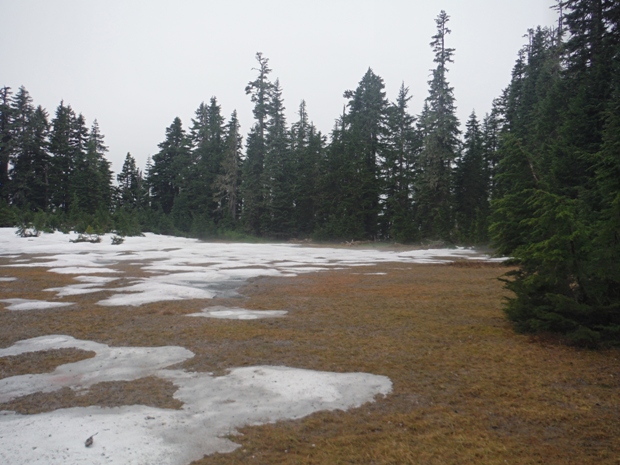
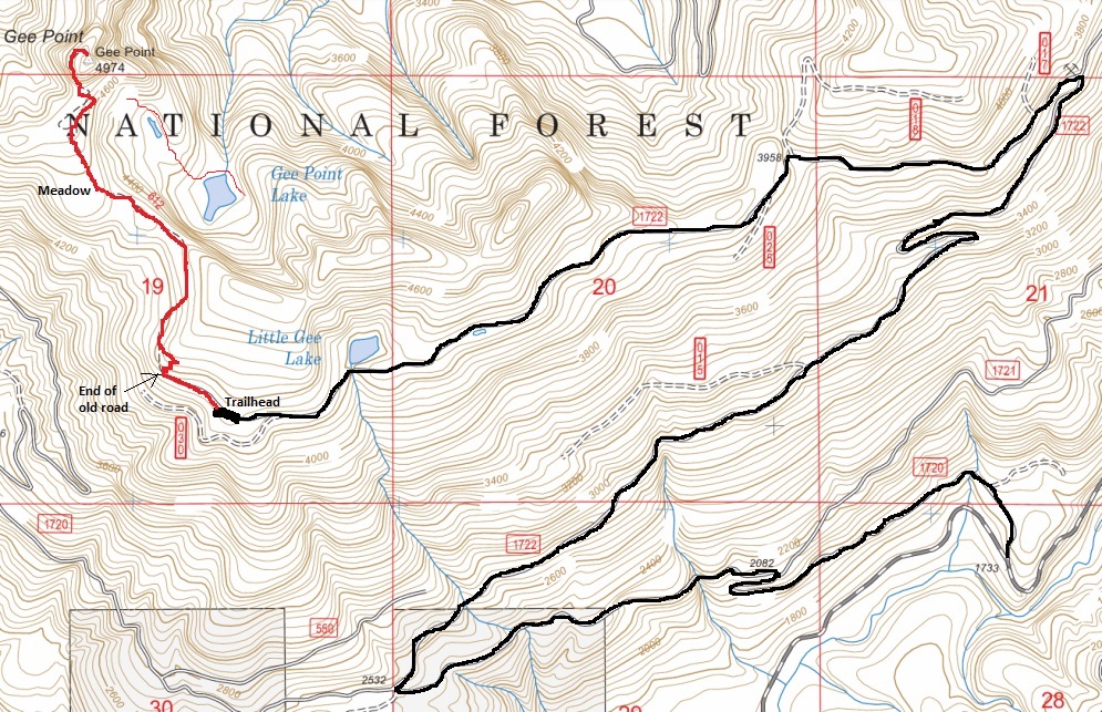
Walk the old logging road (probably brushy) as it curves around the mountain and slightly drops. After .25 mile the real trail steeply starts climbing from the road bed. This short section is very steep but only lasts a few minutes. Soon enough, the trail is on the original tread inside an old-growth forest. Next the trail hits a large flat meadow that seems out of place. Shortly up and beyond this meadow, the trail will drop some onto the north side of the ridge to avoid some rocky outcrops. The remains of a cabin are there. If you drop down to a talus field, you�ve gone too far (unless you want to go to the lake). You need to look for the trail making a sharp left climbing steeply back onto the ridge. Once back on the ridge, it is a narrow ridge trail to the summit block rock that might seem like a dead-end if you miss the left turn. Look for a trail to the left skirting around the base of the rocks. The climbers trail sneaks its way up the west side to the summit. This last segment some people have said makes them uncomfortable.
Gee Point Lookout Site
Former Lookouts


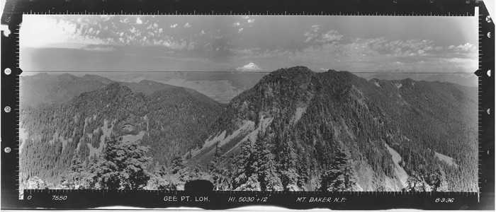
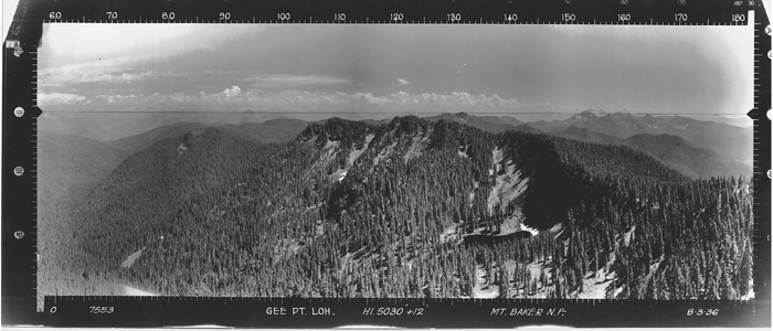
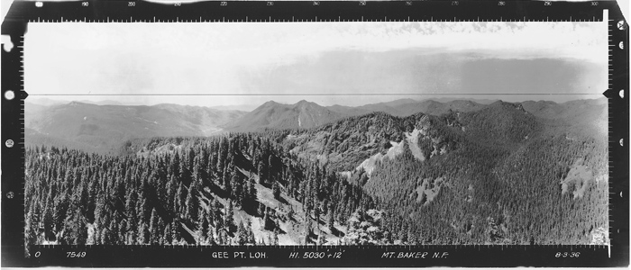
Looking Southeast - August 3, 1936
Looking Southwest - August 3, 1936
Looking North - August 3, 1936
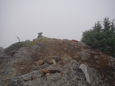
Summit of Gee Point
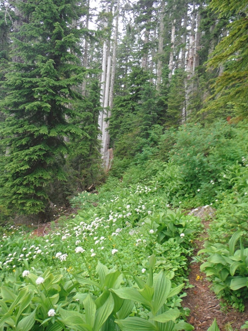
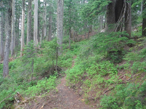
Trail to Gee Point
Trail to Gee Point
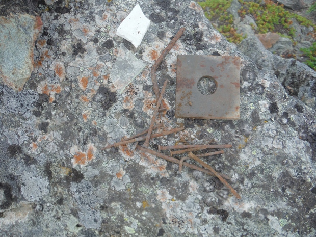
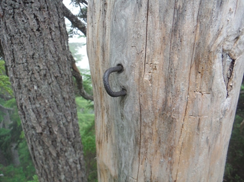
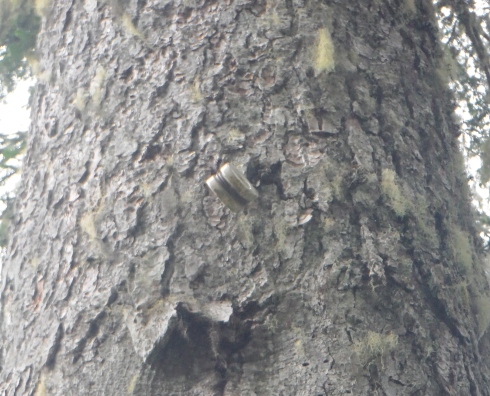
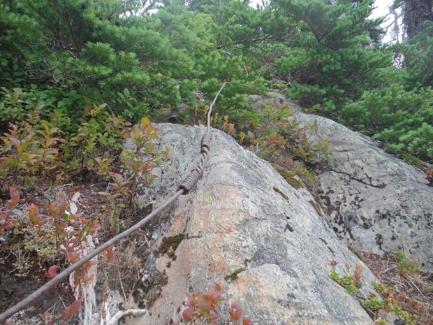
Phone insulator
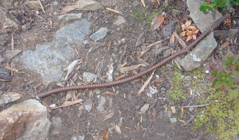
The last bit of trail the phone line was just a few feet above the ground
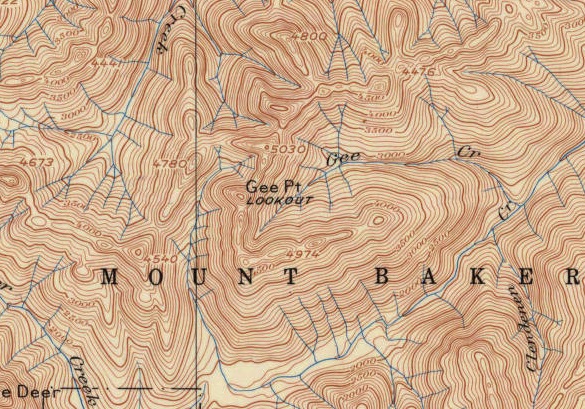
1937 edition of 1899 map
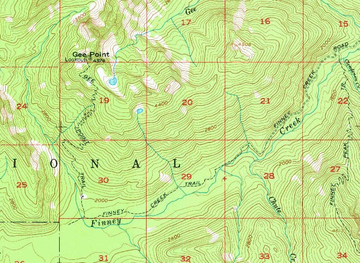
1977 editoin of 1956 map, showing much of the original trail
Ground line
Half of the big meadow
Not much left
Summit
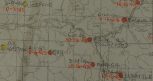
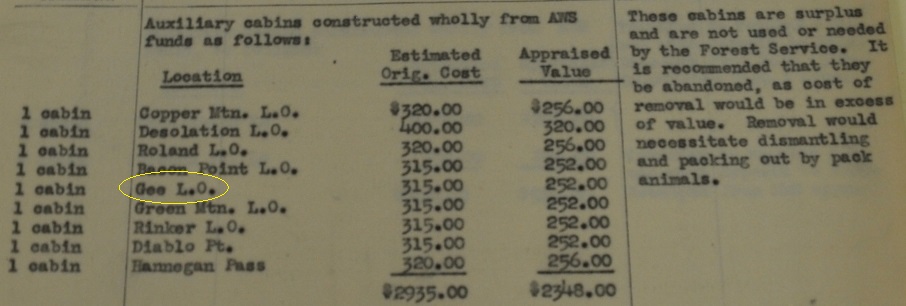
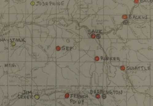
Gee on AWS map
Gee on AWS map with dates
Cabin below summit likely this AWS construction
Access Report: in 1942 it was still a 16 mile trail to reach Gee Point
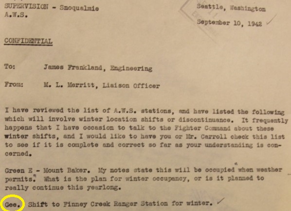
In winter, Gee may have shifted down to Finney Creek Ranger Station
Yoke 4-5 Gee Point, Mt. Baker National Forest on National Forest Land, used existing station, reconditioned, to retain for Forest Service, date inactivated 10/16/43, very little AWS involved.


