

Flattop Mountain Lookout Sites

Flattop Mountain has had several fire structures with more images taken then most any other fire lookout site in Washington. The summit is so broad that two lookout sites were on top, one east and one west separated by an easy 5 minute walk.
East Point:
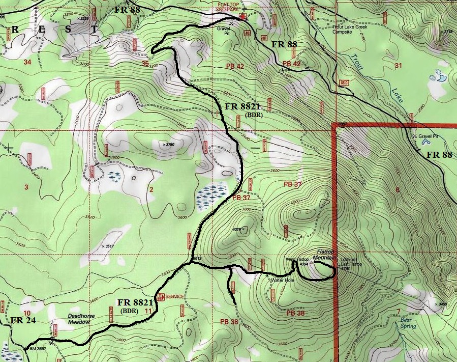
In 1922, a 16 x 20 foot frame house was constructed on the east end of the summit. The first lookout, in 1922, was Amos Pearce, from nearby White Salmon. Ernie Childs helped construct the first building. He said the materials were hauled up on wooden sledges from Deadhorse Meadows, by Aubert Robbins who owned a sturdy team of bays. The route was the same as today’s road to the top, which was built in the 20s.
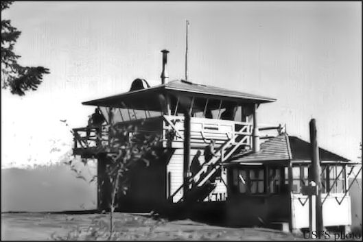
In 1930, this frame house was moved to the west side of the summit. With the original frame house moved, a 7x7 foot frame cab was built but was quickly replaced in 1933 by an L-5 cab.
In 1932 (and a few years more), the lookouts were Darrel & Zoa Couch of Trout Lake. With them was their one-year old son Forrest Couch. Twenty years later in 1952, that one-year old would man the lookout at age 20. In 2018, his ashes were spread on the west end of Flattop Mountain where the old west tower used to be.
In 1938, Myron Halse was stationed at the lookout on Flattop, along with a Mrs. Halse and Lois Elaine with him.
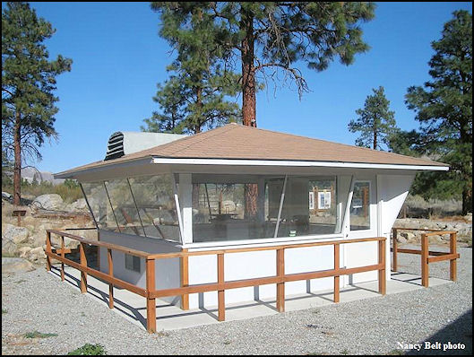
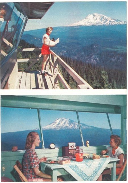
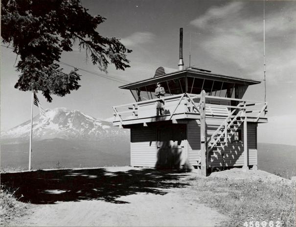
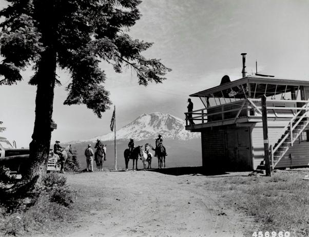
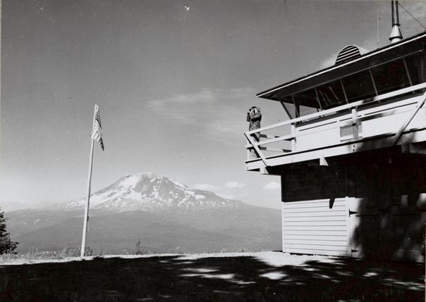
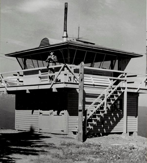
In 1946, a prototype 2-story 14x14 foot frame cab with slanted windows and curved hip roof was constructed. It was to become the next generation lookout around the Pacific Northwest, but the R-6 flat cab later became the standard. Thus, it is the only one of this style ever built. Some images below show both the 1933 and 1946 structures next to each other.
In 1952, the lookouts were Mr. and Mrs. Ernest Fiedler but once a local school started, they went to their teaching jobs. Forest Couch took over for the rest of the fire season.
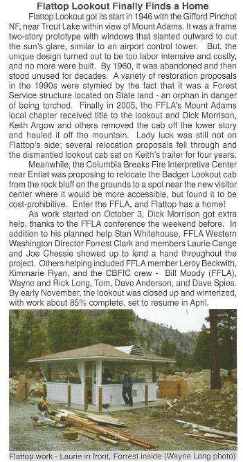
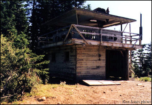
In 1960, the site was abandoned. This lookout withstood vandalism and plans by the DNR to tear it down until 2005 when the FFLA dismantled it and relocated the cab to the Columbia Breaks Fire Interpretive Center in Entiat.
In 1962, the Klickitat County PUD strung power lines from the Trout Lake area to Flattop Lookout. Flattop was to serve as a communications center to contact other lookouts, stations and loggers operating in Gifford Pinchot National Forest. It was a joint project with Klickitat County PUD, U.S. Forest Service, State DNR and loggers operating in the area.
WillhiteWeb.com: Fire Lookouts
Lookout Elevation: 4,394 & 4406 feet
Distance & gain: Drive-up
Access: Rocky road, good tires best
West Point:
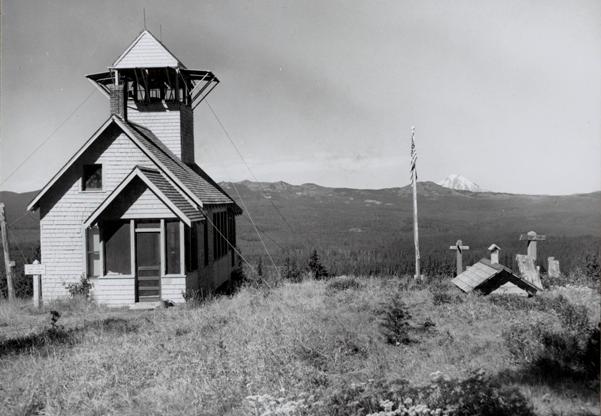
In 1930, the frame house from the east side was moved to the west side of the summit.
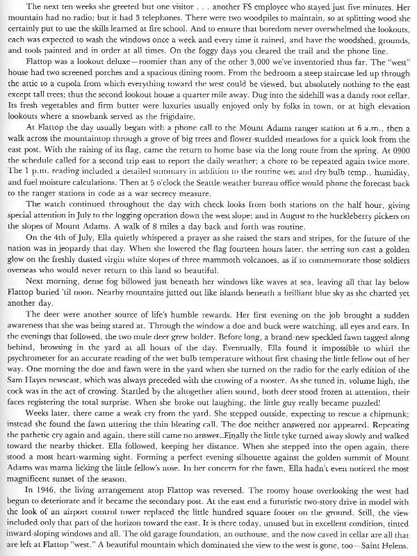
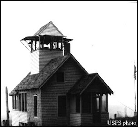
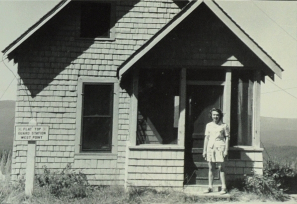
In 1934, the house had two screened porches and an observation cupola added.
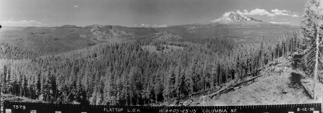
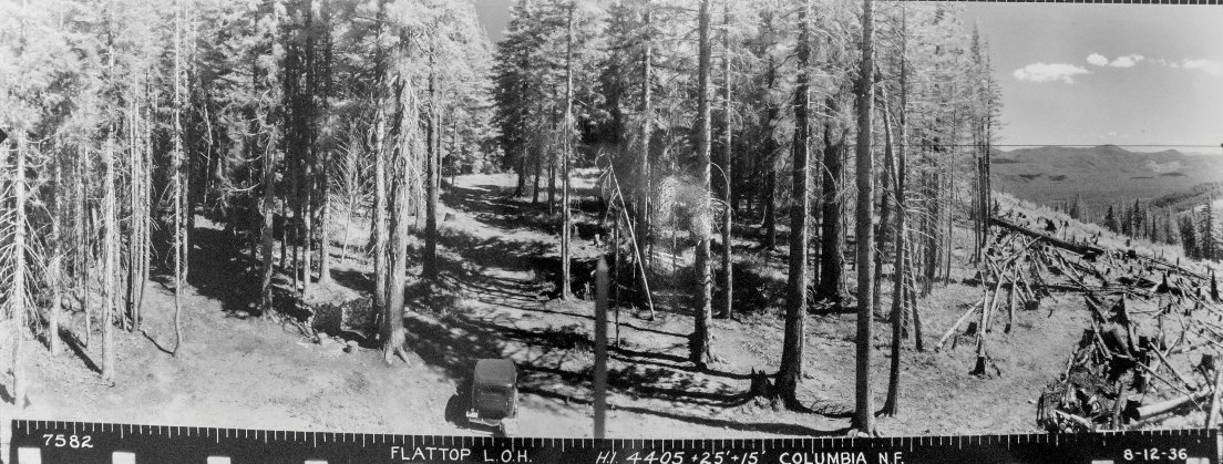
In 1936, the panoramics were taken from the roof of the cupola 35 above the ground. It appears a substantial amount of timber had to be cut to allow for the view.
In 1960, the house was destroyed.
Panoramics:
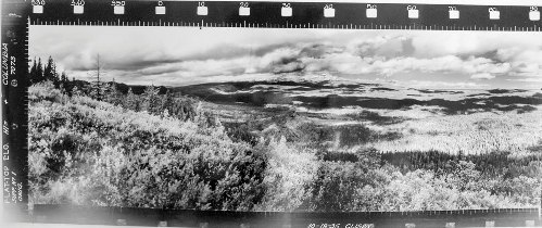
October 19, 1935: Labeled Flattop ELO, two supplement images taken at the east site.
August 12, 1936: Labeled Flattop L.O.H., three images taken at west site. 4405+25+15 feet
July 15, 1941: Labeled Flattop East, two images taken at the east site. 4405+2+15 feet
Location Today:
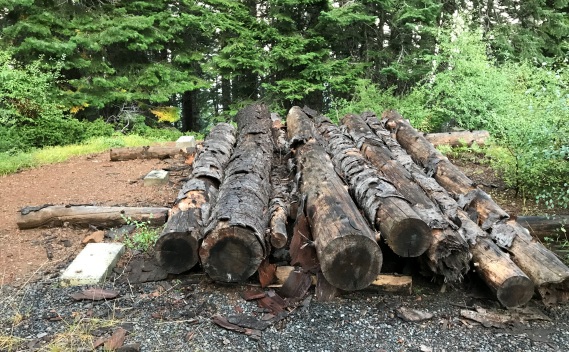
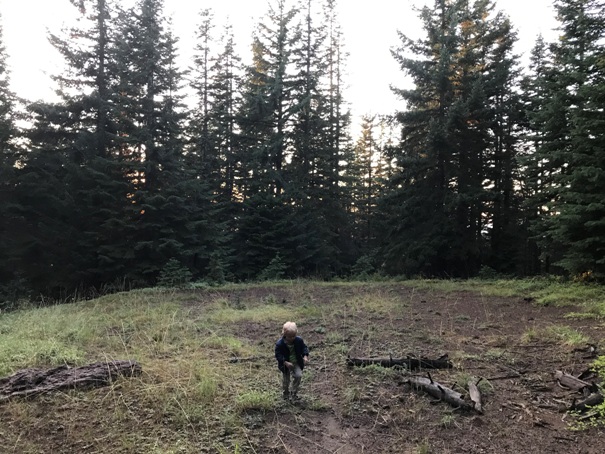
For some reason, I was expecting views and possibly a fun place to camp. With those expectations, this location was a serious let down. The East side is full of communications towers and trees while the West side was overgrown with trees with little to see but a big clearing in the woods. So boring is the West side, people have stopped removing the deadfall to reach there so you have to walk. I couldn’t even find a good place to car camp. Maybe someday the summit will be logged again providing something worth seeing.
Access:
Good forest roads are north and south of Flattop Mountain. Use FR 8821 to gain access. Last mile is rocky.
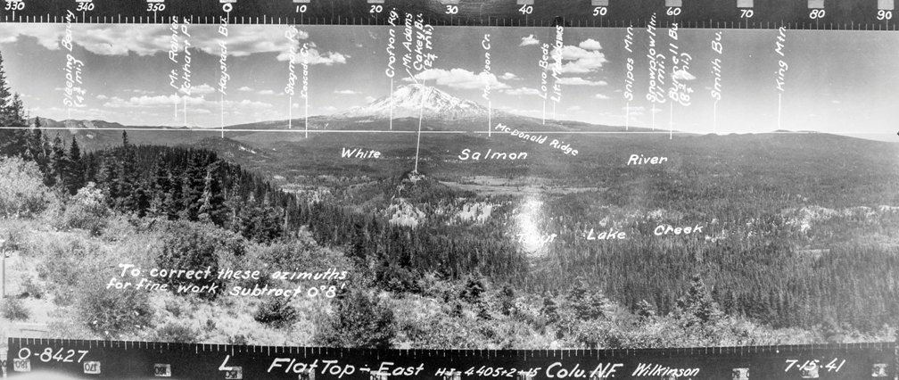
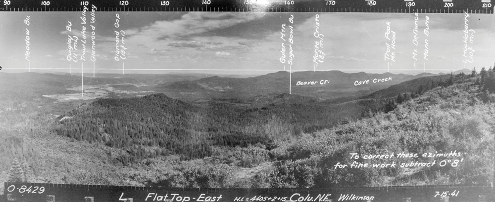


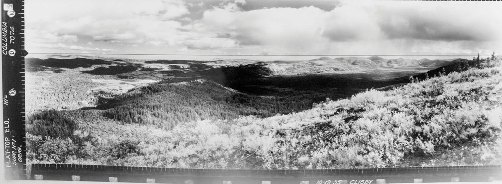
Below: 1941 Panoramics taken from the East Point
1936 panoramics taken from the West Point
East Point in 1949
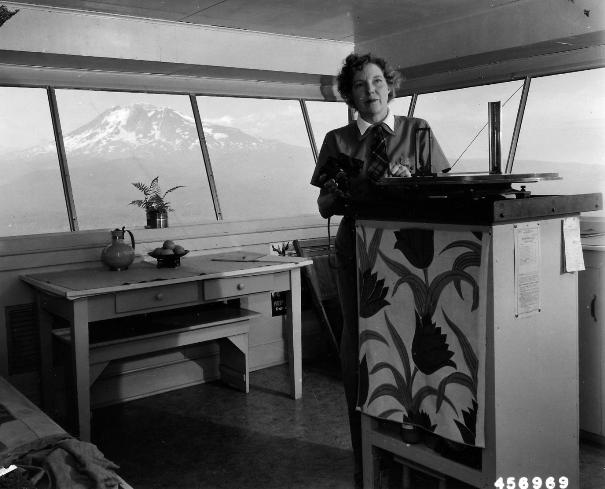
Lookout Billee Webb in 1949, taken by Leland J. Prater
Lookout Billee Webb in 1949, taken by Leland J. Prater
West Point of Flattop in 1950 by Frank Flack
East Point of Flattop in 1946 with 1933 and 1946 lookouts
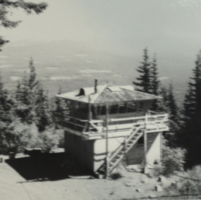
The final East Point lookout as it was in 1998
The moved 1946 East Point Flattop Lookout in 2010
Flattop West point lookout house
Flattop West point lookout house in 1946 with Shirley J. Smith
Flattop West point lookout house in 1946 with Shirley J. Smith
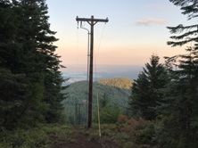
Flattop East point in 2019
Flattop West point in 2019
The 1933 cab on the East point
Lookout Billee Webb in 1949, taken by Leland J. Prater
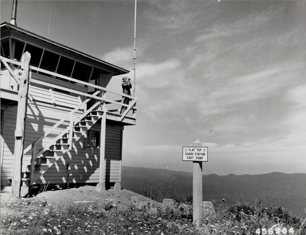
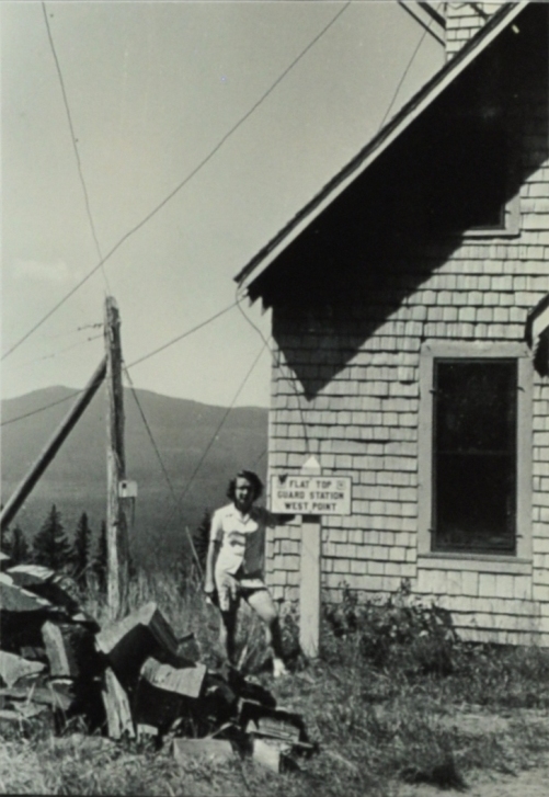
Lookout Billee Webb on Flat Top Guard Station East Point
Billee Webb
Flat Top Guard Station East Point
1979 Flat Top East (Kresek)
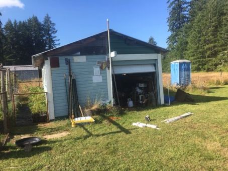
Only view at east point in 2019
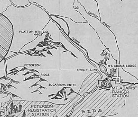
Left: 1936 map
Below: from Fire Lookouts of the Northwest (Kresek)
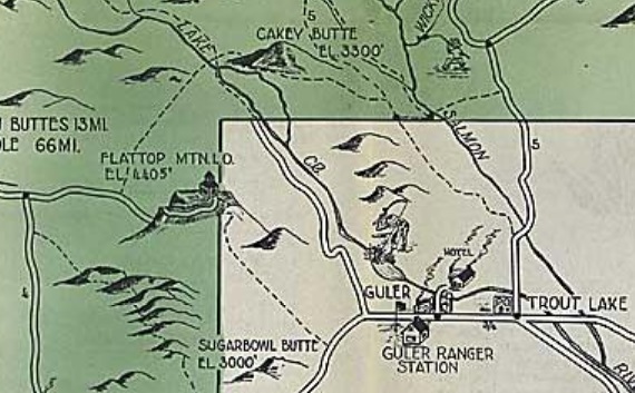
1939 Recreation Map
Labeled Flattop ELO, Oct 19, 1935 Supplement 1 & 2
Northeast from East Point
Southeast from East Point
These are supplements, usually this means there are the main 3 others view shots but we don't have them. Its possible they were lost, didn't turn out or just not saved in the archives. Might be why they went back in 1941 to re-shoot panoramics for this location. (see them left of the map on left).
The lower story of Flattop in Chehalis, Dick Morrison owns.
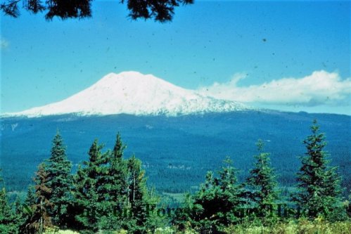
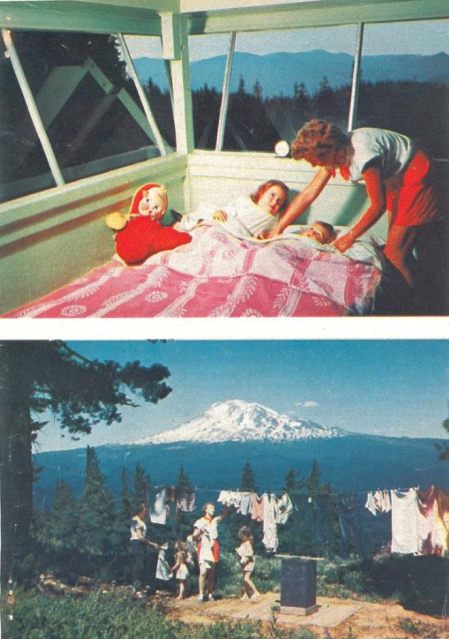
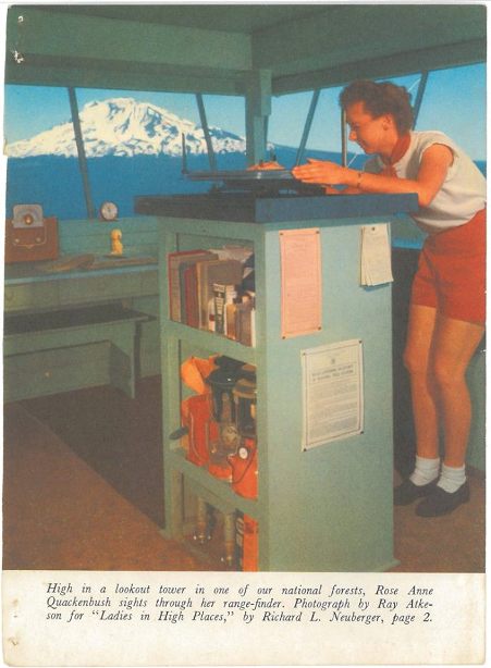
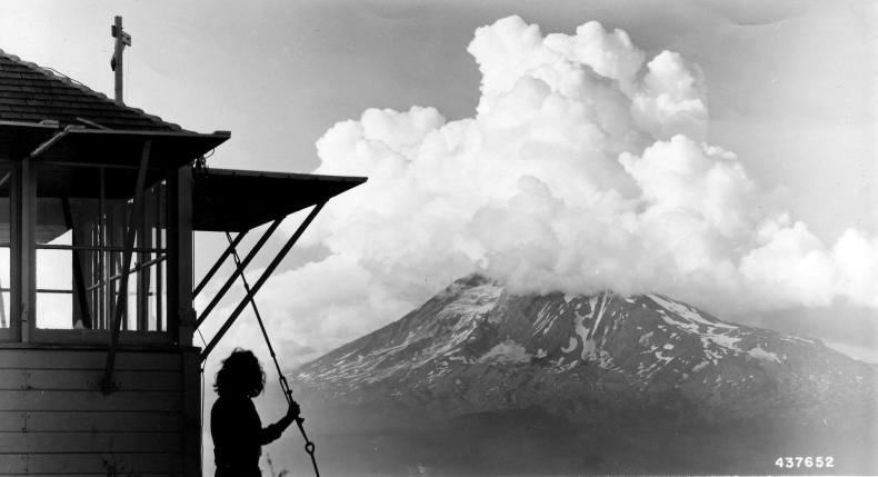
Adams from East Flat Top in 1950


