
Deming Lookout Site

The Deming Lookout site appears to be one of the earlier sites in the area. The first known structure was an 80-foot pole tower in 1929 built of native materials.
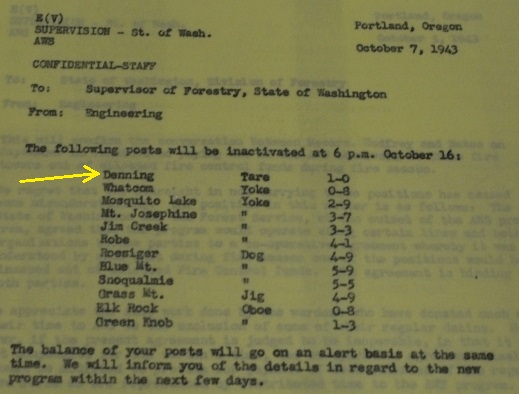
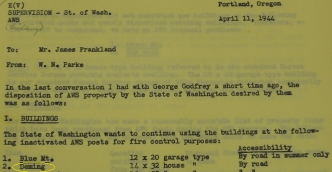
Twelve years later, Deming served as an Aircraft Warning Service station during WWII. It was activated on August 17, 1942, and used until deactivated on October 16, 1943. The AWS added a 14 x 32-foot portable cabin to the improvements. After deactivation the cabin was retained by the State of Washington and continued to be used for fire lookout purposes.
In 1947, the pole tower was replaced with a 75-foot steel tower with 8x8 foot cab. Living quarters for the lookout were obtained by moving into the abandoned Aircraft Warning Service building.
Finally, in 1965 the DNR built a 40-foot wood tower with live-in cab on top. This last cab was removed in 1985 and transported to the Forks Museum where it is on display today.
Lookout Elevation: 2,806 feet
Hiking Distance/Gain: Drive-up but many hike from the south
Access: Fair gravel roads
Access
WillhiteWeb.com: Fire Lookouts
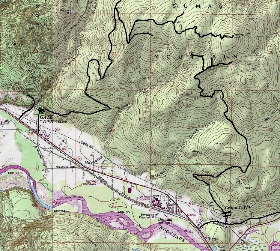
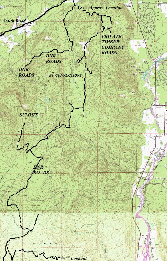
There are several ways to reach the summit, some walking, some by vehicle. The easiest walk would be up the Cronk Road, a 4.4 mile and 2,100 gain hike. Reach Cronk from the Marshall Hill Road out of Deming. Parking is at a gate just past one house. The owners of the house told me the gate is always locked and I could hike the road but as I continued up to the gate, it was open. I didn�t want to get locked in so I found the driving route on the north side of Sumas Mountain. If you do the Cronk Road, when it seems to end, cross the berm and follow the old road a short distance getting back onto a well-traveled road (although aerial maps don't show it this simple, so beware). West of Deming is the DNR access gate that I hear rumors is sometimes open but was closed the October Friday I visited. For the only drive-up access I know with no gate, the route is LONG and has probably 10 forks to navigate. Any kind of logging operation could halt progress as well. But, the roads are pretty good and I think most vehicles would make it if you get the first mile or two.

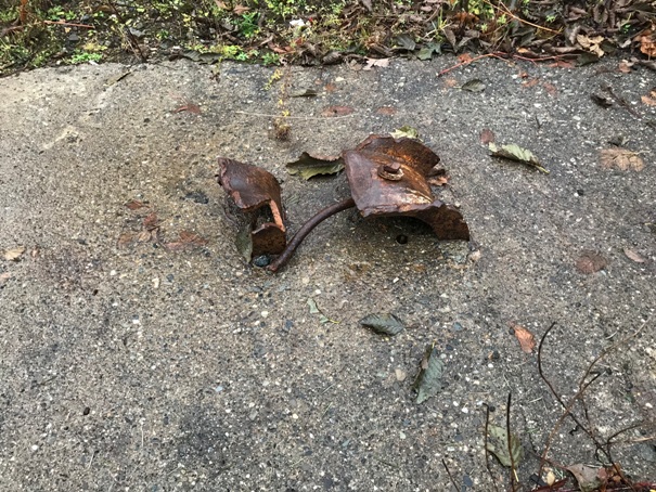
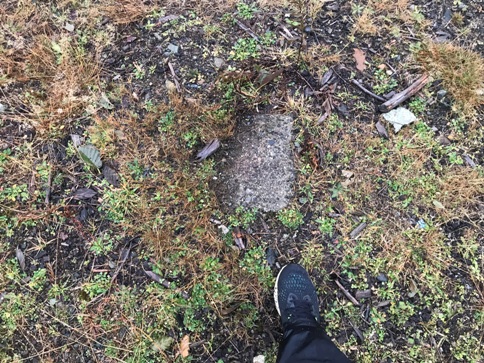

Footing or first step to the tower
Inactivated as an AWS site at 6 p.m. on October 16, 1943
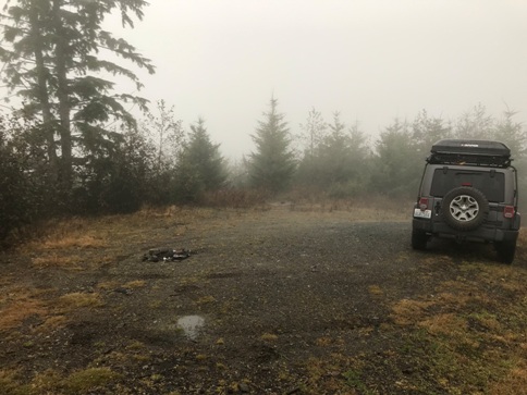
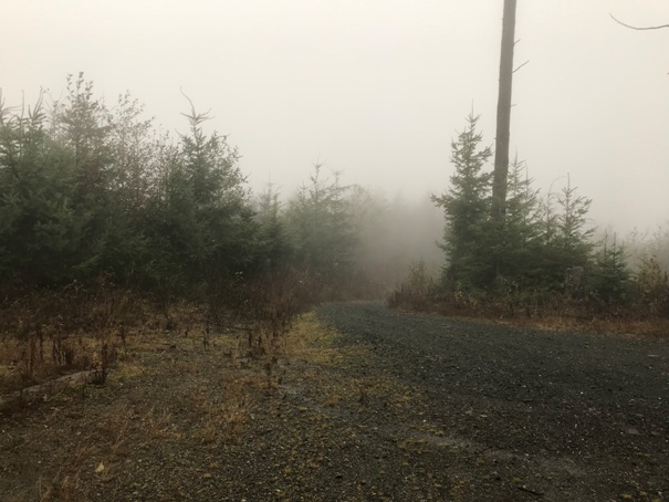
Road as it arrives to the site
Small footing
Large footing with bent metal anchors
The metal tower in 1978
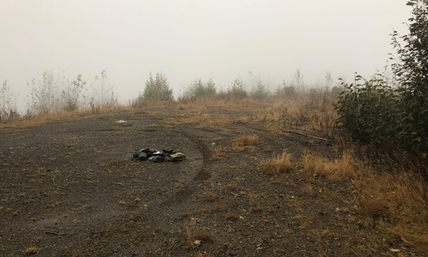
Lookout site in 2019
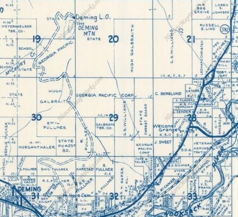
1971 Metsker map showing Deming and Cronk Road to site
Lookout site in 2019
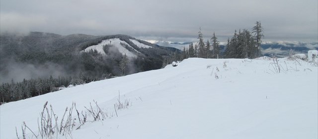
View in winter (Monique Brewer Image)
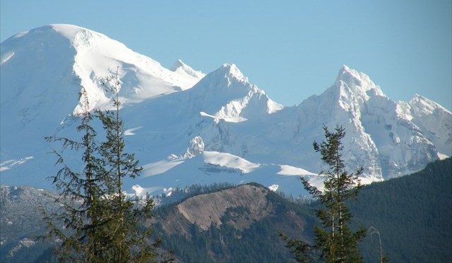
View of Baker (Monique Brewer Image)
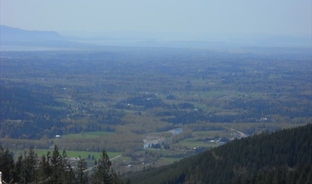
Puget Sound Basin (image taken from internet)
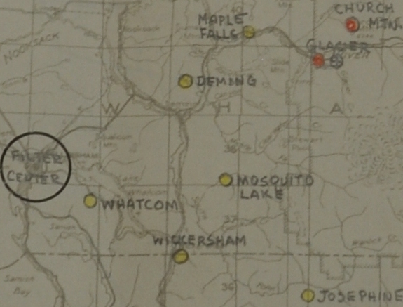
AWS map showing Deming site
This is a rough map showing the route from the north that has no gates but is long
State of Washington wanting to retain the 14x32 foot house built with AWS funds
Topo map showing the 2 options from the south
