
Darland Mountain Lookout Site
WillhiteWeb.com
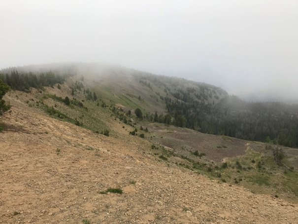
Darland Mountain is located at an intersection of the National Forest, State Forest and the Yakama Nation. The summit has a long history of road access which is pretty amazing for how many forest road miles it takes to reach the summit.
In 1925, a D-6 cupola cabin was constructed.
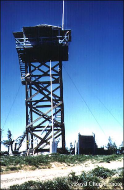
In 1934, 42 foot wooden tower with an L-4 cab was built.
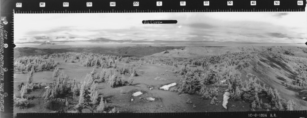
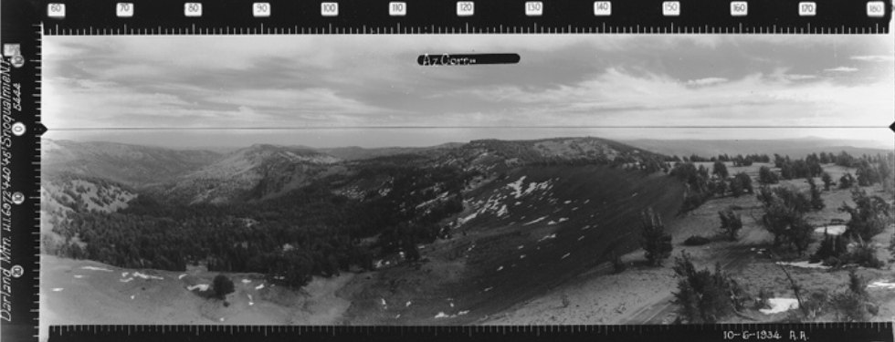
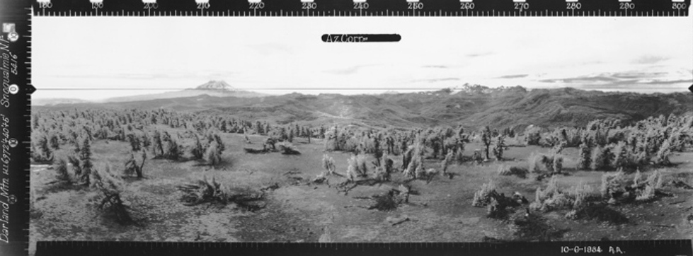
In 1934, panorama photos taken.
In 1942, the old cupola was trucked to Blue Slide Lookout site.
In 1966, the L-4 cab and tower was removed.
Articles from washingtonlookouts.weebly.com
1924: "It is planned to erect another lookout next season which overlooks a large tract of state lieu land selection on the Ahtanum; it also overlooks the national forest adjoining, on the head waters of the Tieton and Klickitat Rivers, and forest lands on the Ahtanum and Klickitat Rivers in the Yakima Indian Reservation. The plan is to erect and maintain this lookout under triangle cooperation between the United States Forest Service, Indian Agency Service, and the State, based on the area of forest lands coming under the observation of this lookout." (Forestry Division 19th and 20th Annual Reports)
July 3, 1958: "Miss Juanita Ward, accompanied by her mother, Mrs. Frank Ward, and her sister, Sue, left Tuesday for Darland Mountain where she will spend the summer at the lookout station. Darland Mountain is 60 miles north of the Greyback lookout, which is located in Klickitat county." (The Goldendale Sentinel)
September 1, 1960: "A trip much enjoyed by all was taken through the west area of Yakima, south of Rimrock lake and past Green lake. They next stopped at Darland mountain lookout which is forty feet high, the top being reached by a climb of four flights of stairs. The young lady attending the lookout spends her winters at Ellensburg attending college. Darland mountain lookout, one can see Mt. Rainier, Mt. St. Helens, Mt. Adams, Mt. Hood, The Three Sisters, Mt. Shasta in California and the Columbia river." (Goldendale Sentinel)
Elevation: 6,981 feet
Hiking distance: Drive-up
Access: Good for all until last 2 miles
Access:
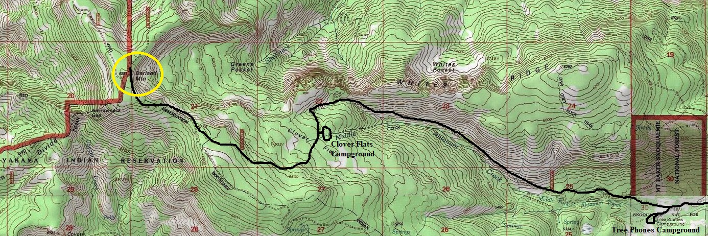
From Yakama, take the Ahtanum Road to Ahtanum State Forest. Just before reaching the Ahtanum Guard Station, a sign points in the 2 options you have for reaching Darland Mountain. A left is 2 miles shorter, so I went left. You can get all the way to Clover Flats campground before the road deteriorates. Hiking books suggest walking from Clover Flats, a distance of 2 miles.
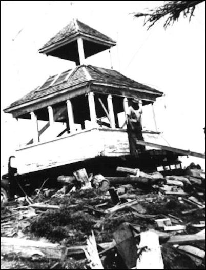
Darland Mountain Cupola in 1942 well after use
Darland Mountain lookout in 1961
(1924 Forester Report)
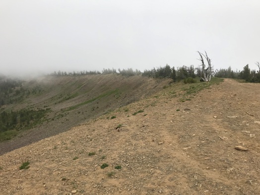
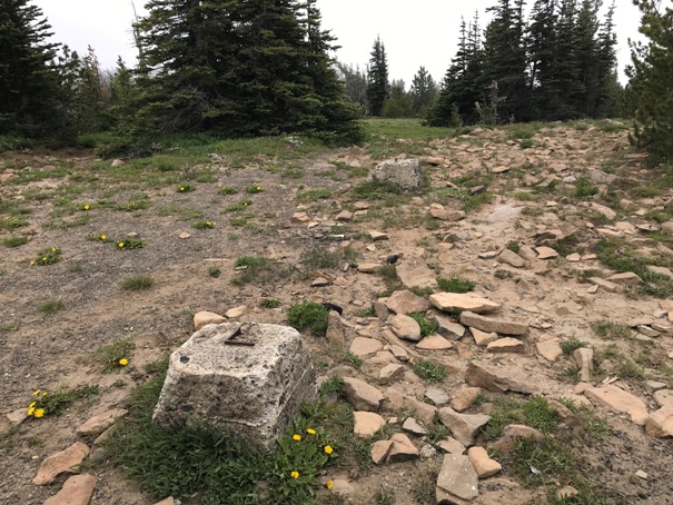
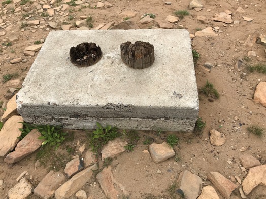
Tower footings
Knob to the NE
Unknown footing
Looking South
Looking North, October 1934
Looking North, Southeast 1934
Looking North, Southwest 1934
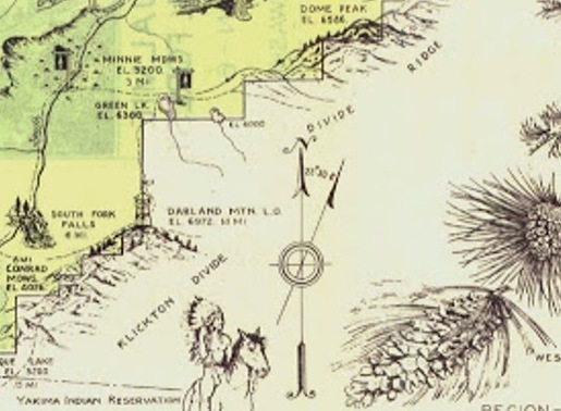
Darland Mountain L.O. on a 1936 recreation map
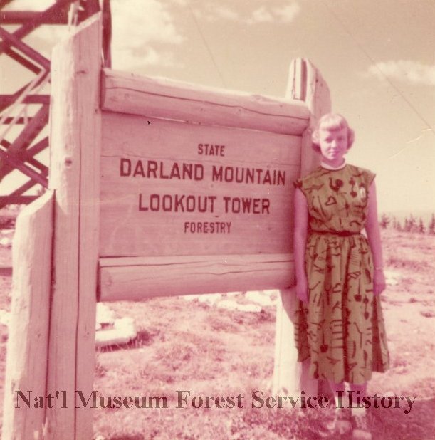
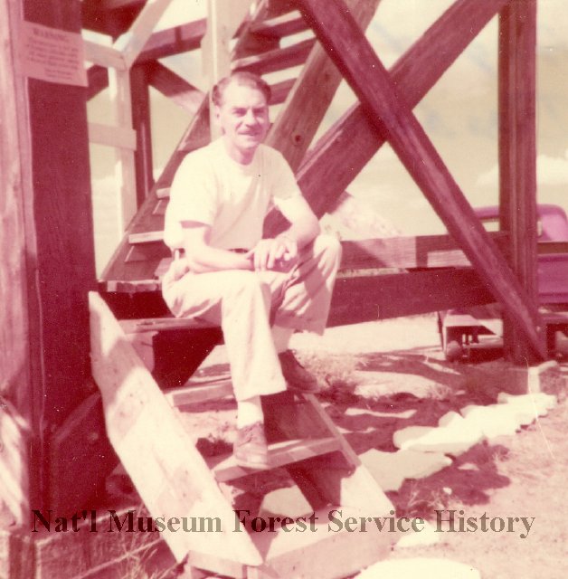
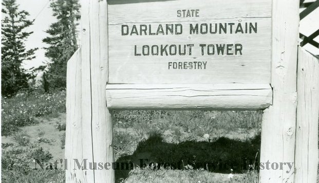
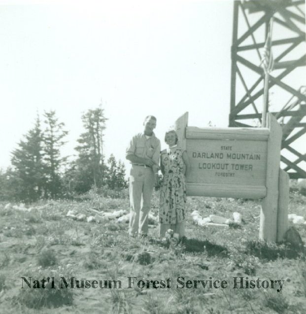
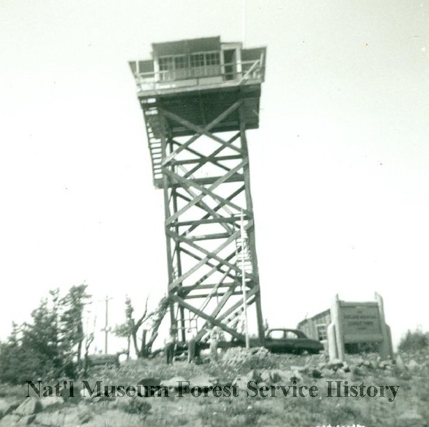
1955 Warden Mike Warden
Barbara Vandarlaan
1955
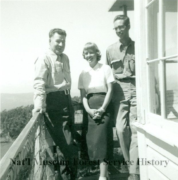
Lookout Barbara Vanderlaan greets Mike Webster and Chuck Naight
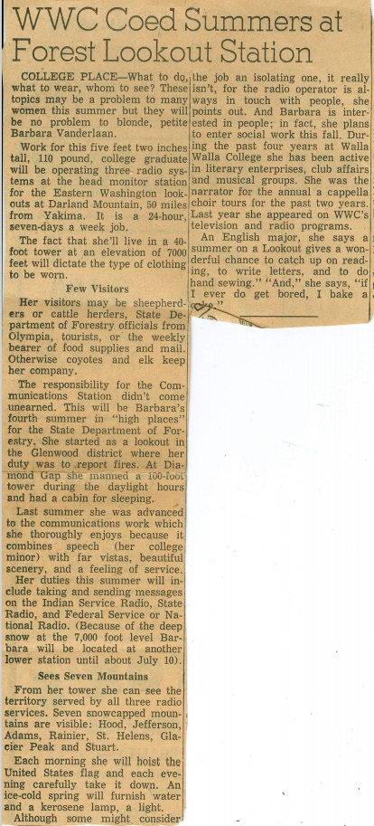
Barbara Vanderlaan news article
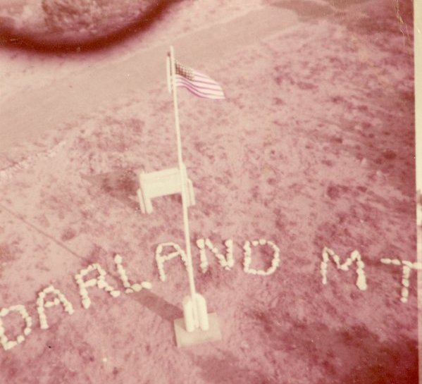
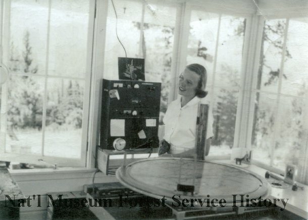
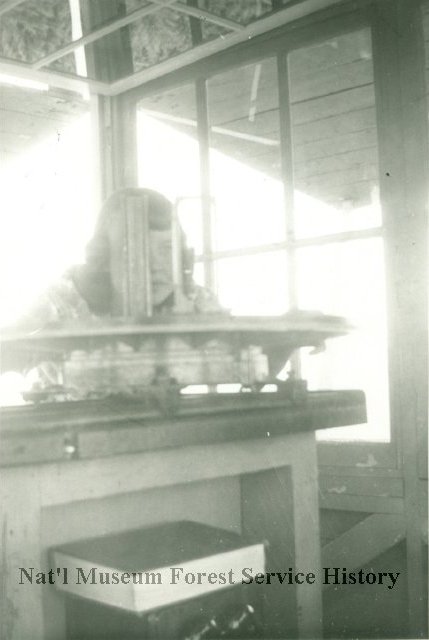
Barbara Vandarlaan 1955
Barbara Vandarlaan
From the air in 1955


