

Dark Cabin Lookout Site

Dark Cabin was built around 1924 to serve as a lookout post. An open lookout platform was built on the roof of the log and shake cabin. The location is a bit odd but the rocky open spot on the ridge may have made for an easy choice in the early years. In 1933, the highpoint 1/2 mile to the SE was cleared of timber and an L-4 cab was built. The cabin was used by trail crews until 1967 when it and the newer cab were destroyed.
Access:
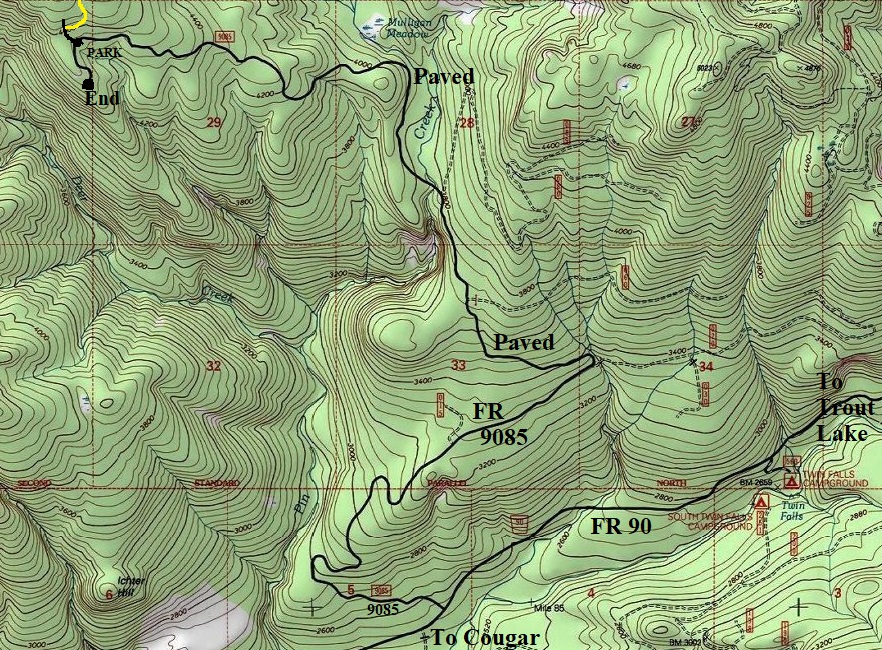
Get to the paved FR 90, the main East-West artery which goes between Cougar and Trout Lake. Take FR 9085 off of FR 90 to the trailhead, just before the end of the road. This FR 9085 is completely paved and in incredible shape given the road just dead-ends on a ridge.
Lookout Elevation: 5,078 feet
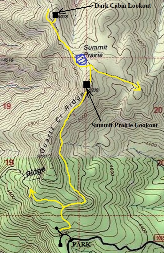
Hiking Distance: Half mile down from Summit Prairie Lookout Site
Access: Paved
Route
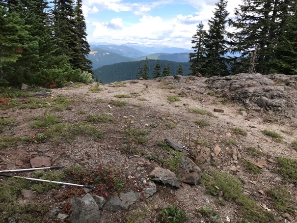
From Summit Prairie Lookout Site, drop down the ridge north passing a flat spot on the right that once had the woodshed. You may also smell the old out house at this point. A bit further down, you hit a trail junction. Go left, soon passing the namesake Summit Prairie. Follow the trail up and down a bit until you see a large rocky opening at the end of the ridgeline. The official trail doesn’t go to the cabin site. You can either follow the ridge top on rocks or drop down on the official trail below the ridge and find a way-trail up to the site.
WillhiteWeb.com
Dark Cabin was not an AWS site according to all the Army documents I have. A possibility could be from the information given in the book "Firewatchers of the Cascades and Olympics". The cabin is on the Dark Mountain Trail, near Dark Mountain and Dark Meadow. These were named for John Dark. During winters, John Dark and William McCoy (aka McCoy Peak and McCoy Creek) worked on a gold mine in the Lewis River drainage. McCoy’s sons packed the older men in and brought them out in the spring. The miners had cut trees for firewood and the height of stumps of trees they cut were sometimes 15 feet tall due to the snow at the time. .Keith McCoy of Trout Lake, the third generation, was the area’s unofficial historian who gave this information.
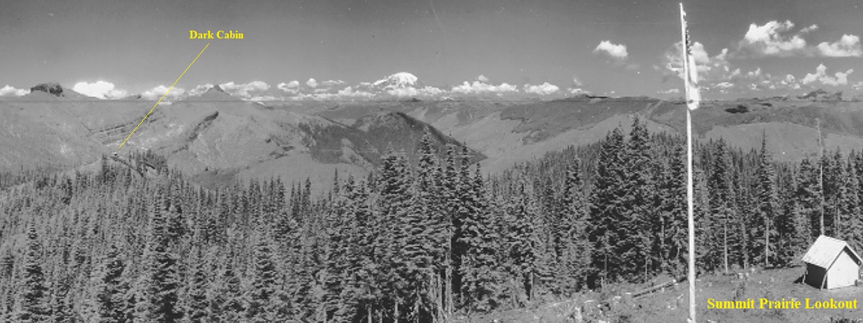
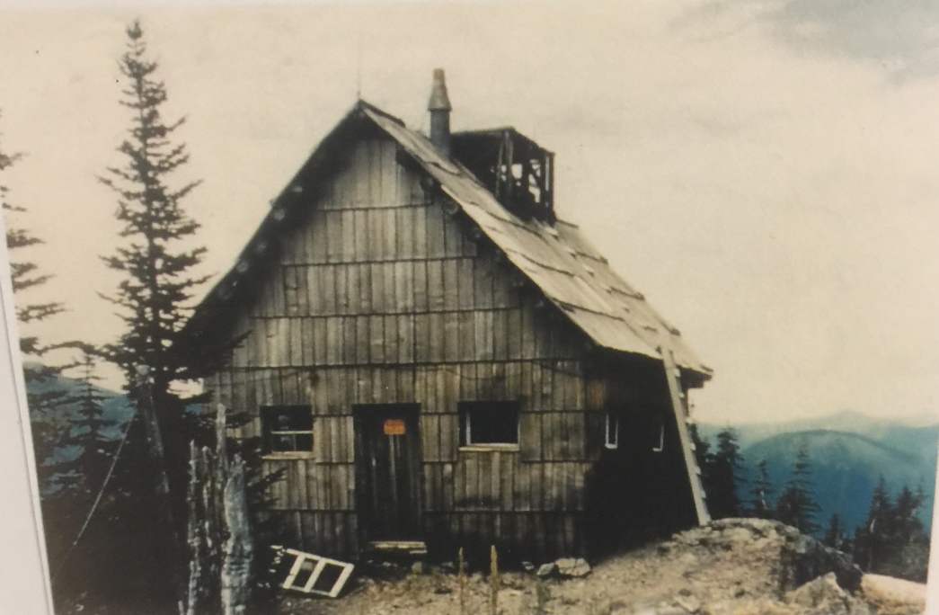
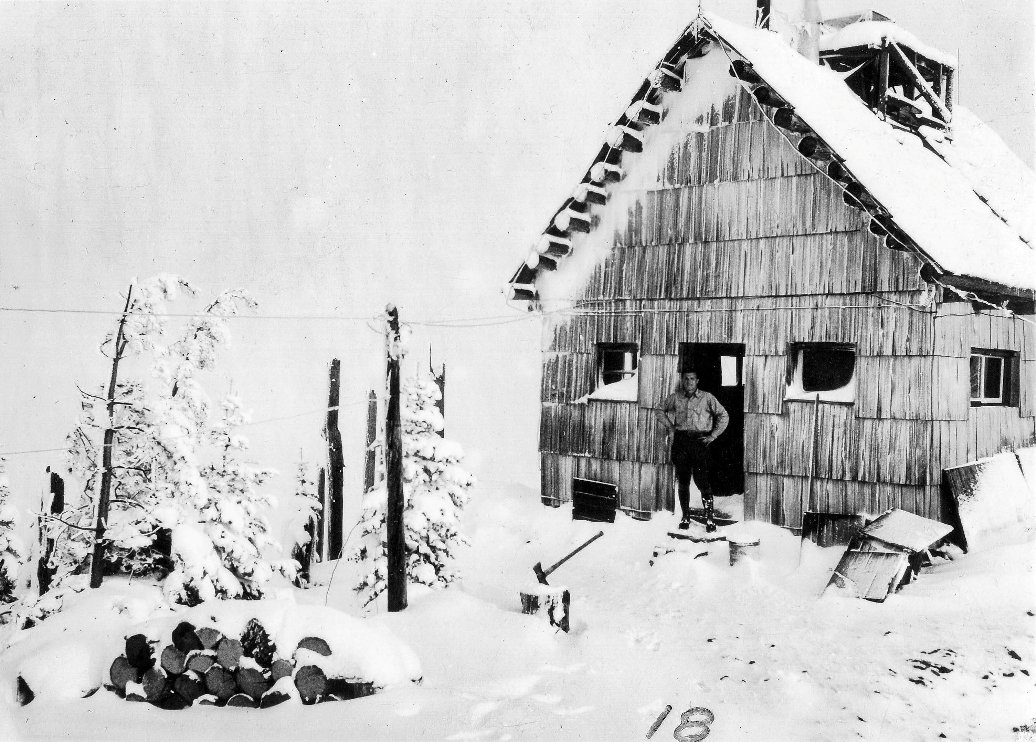
From Summit Prairie in 1937 you can see the Dark Cabin
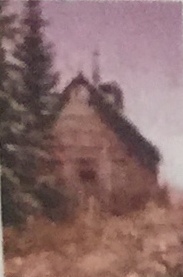
A very nice picture of the Dark Cabin Lookout, said to be taken around 1926
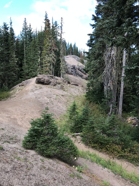
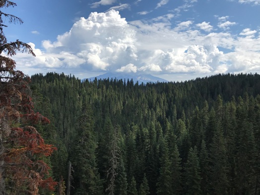
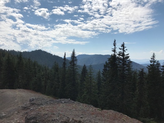
From the main trail, when you get here you need to follow this ridge to that highpoint or follow the trail as it drops to the left, then find a way trail that climbs steeply up to the knob.
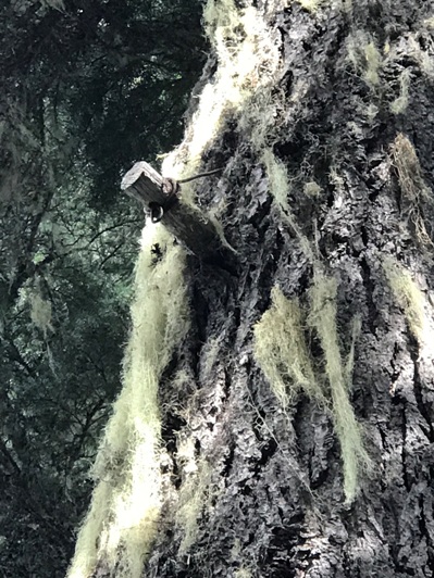

Peg hanger for phone line in forest between lookout sites
Phone line and insulator between the 2 lookouts
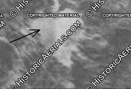
1963 aerial showing square cabin and cleared trees surrounding it
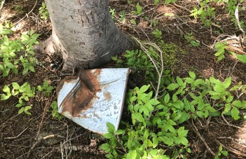
Crushed bucket
Unknown piece of steel
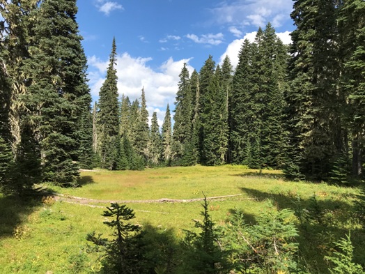
Summit Prairie
Looking South to Quartz Ridge
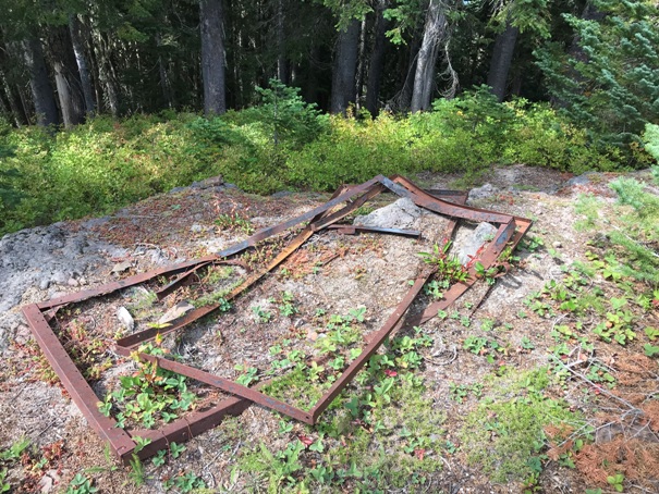
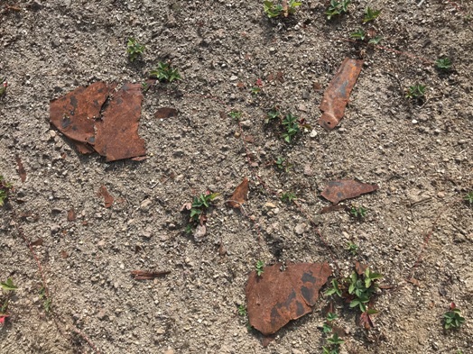
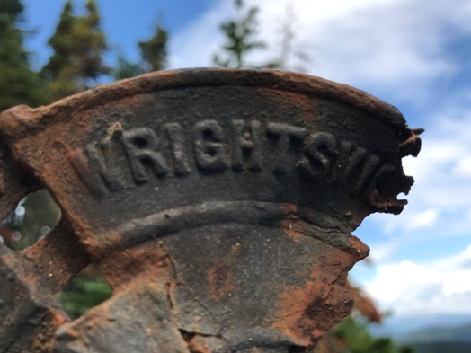
Metal fragments everywhere
Two beds still available at the cabin site
Another picture
Mt. Adams
Looking NE toward the Goat Rocks
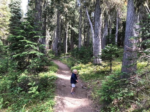
On the trail where it skirts around Summit Prairie
Cabin site
Best route to the site
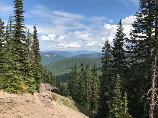
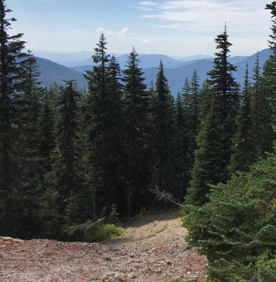
Looking southwestish from the cabin site
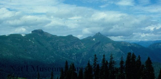
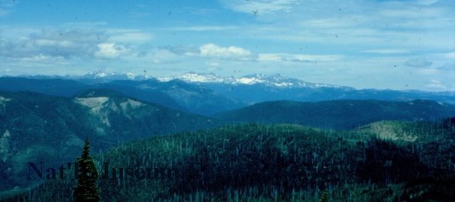
Dark Cabin View in 1950 (labeled as Summit Prairie which is possible)
Dark Cabin View in 1950 (labeled as Summit Prairie which is possible)


