Cowan Peak Lookout Site
In 1947, this lookout was established with a 20-foot wooden L-4 tower.
In January of 1953, the winds reached a recorded 112 miles per hour during a three-day storm causing the Washington Forest Fire Association lookout on the peak to be demolished by the storm. The 112-miles-per-hour velocity was recorded just before the anemometer was blown away.
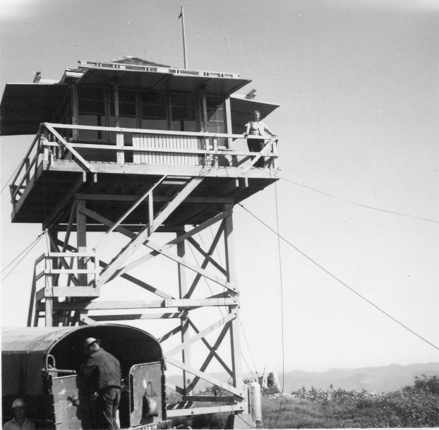
Later in 1953, a second lookout tower, a 20-foot wooden tower with L-4 cab was built. . It was named in honor of Major Charles S. Cowan, manager of the Washington Forest Fire Association at that time. An article in The Daily Chronicle said on June 18, 1952 that the “Keep Washington Green Committee announced Monday the tower overlooking timber stands north of the Columbia River will be named Cowan Peak. It will be operated co-operatively by the Washington Forest Fire Association, the State Division of Forestry and the Weyerhaeuser Timber Company. Cowan is a member of the Society of American Foresters and a trustee of the Keep Washington Green Committee."
The Issaquah Press put out a similar story, also saying “the lookout commands a sweeping view of valuable timber stands and young growth lying north of the Columbia River, and will greatly increase the efficiency of fire protection agencies in that area."
Charles S. Cowan was an internationally famous forester, who years later wrote a book titled "The Enemy is Fire" detailing the history of firefighting in Washington, and he stayed very involved with forestry during his entire life. I have also run into the term "a cowen style lookout" many times during my research and suspect it has something to do with him. The lookout was abandoned in 1967 and probably destroyed shortly thereafter.
One sad detail about this lookout was July 31, 1959. "Overcome by heating gas, a young forest lookout died Thursday in his station on Cowan Peak in western Pacific County. He was William F. Glover, 21, of Raymond, a student at Central Washington College, Ellensburg. Glover's plight was discovered after he failed to respond to radio calls from other lookout towers in the area. When he was found unconscious a resuscitator from Nasalle Air Force Base Station was carried to the Cowan Peak lookout. But Glover was pronounced dead by Dr, John Campiche of Ilwaco. The young lookout was completing his first week's work with the State Department of Natural Resources." (The Daily Chronicle)
Elevation: 1,940 feet
Distance: Quarter mile
Elevation gain: 100 feet
Access: Good Gravel
Pacific County, Washington
Washington Lookouts
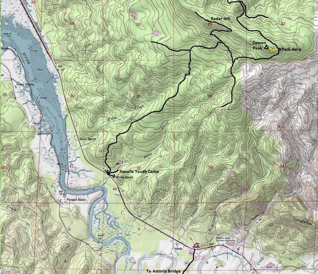
On Highway 4, just west of Naselle a few miles is a major turn-off with several different roads branching in several directions. One goes to a youth camp, others to homes. Look for one going up a hill with a sign for Radar Hill. This is a DNR road and is well traveled and built for any vehicle. Use the map, there are several Y intersections but overall, you can quickly drive to the parking area near the lookout site.
Access:
From the parking area, follow the old road uphill into the timber. Along the old road are several blown down trees but social trails work around them on the right side. Before long, you are at the old lookout site.
Route:
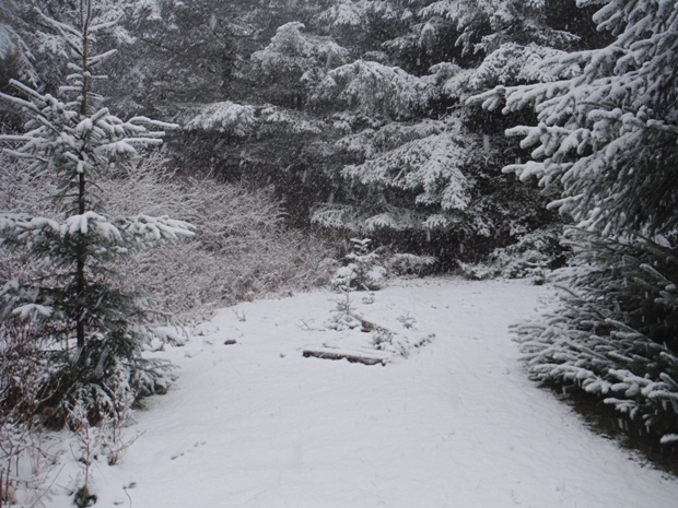
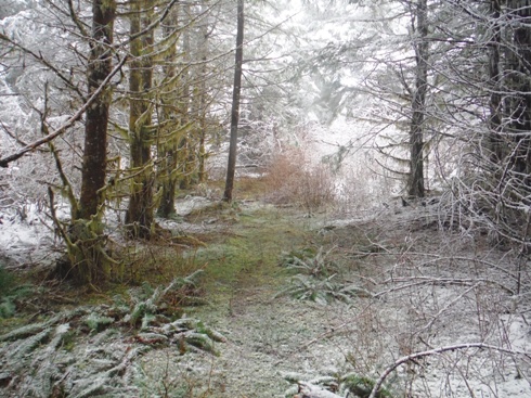
Old road to Cowan Peak
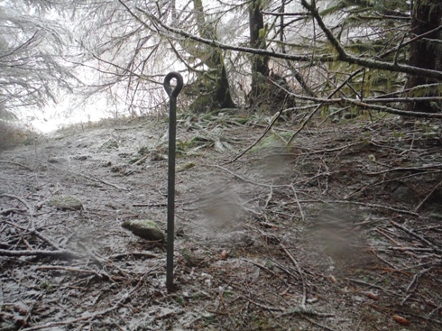
Eyebolt
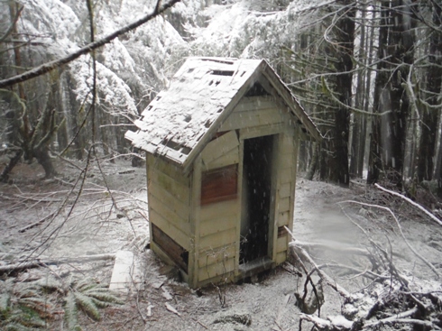
Outhouse
End of the road at site
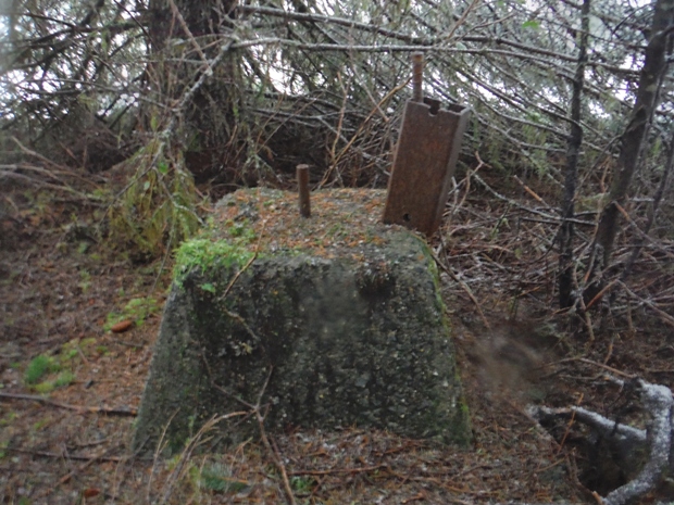
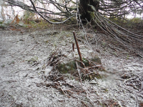
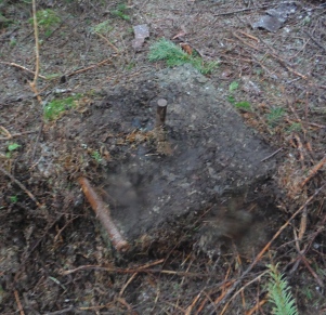
Footing
Footing
Footing
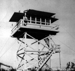
Cowan Peak Lookout 1955
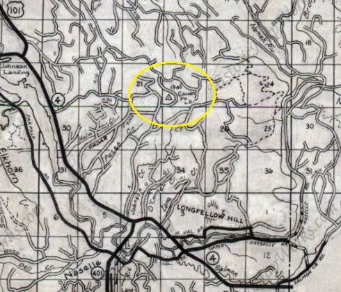
1980 Metsker
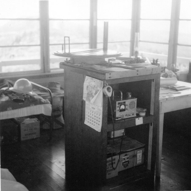
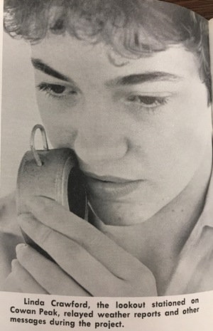
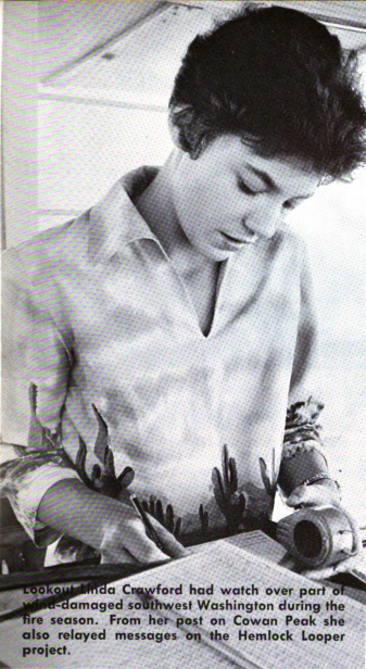
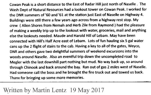
2 photos from the Pacific County Historical Society and Museum in South Bend


