
Council Bluff Lookout Site
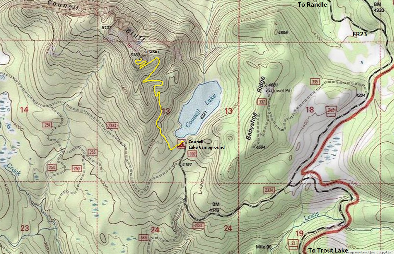
Here is an opportunity to hike a mountain right from your campground. At one time, the road climbed up above the campground another mile making the hike just under a half mile. Now, the old road makes a nice hike. Although the campground at Council Lake is free, there are a limited number of sites and they could get noisy during weekends. Council Bluff may have been named because it is the location where Native Americans met for their councils, but this is not confirmed.
Elevation: 5,180 feet
Distance: 1.5 miles
Elevation Gain: 950 feet
WillhiteWeb.com
Access
From Randle, drive south 1 mile on State Route 131. At the 25/23 junction, go left on Forest Road 23, going 32 miles. A sign for Council Bluff directs you to turn right on FR2334. Go 1.2 miles, then a right on a short spur into Council Lake Campground.
Route
Follow the road above the campground for 1.2 miles. When you reach a large flat parking area, you are at the old trailhead so look for the trail and old wood gate on the right. Follow this short trail to the summit..
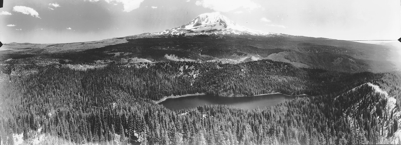
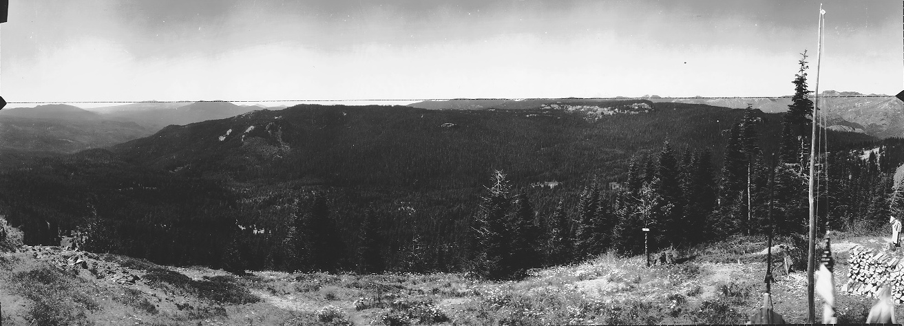
North view July 20, 1934
North view 2018
Southeast view July 20, 1934
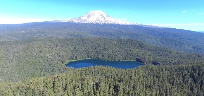
Southeast view 2018 with drone
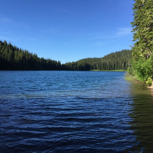
Council Lake at the trailhead
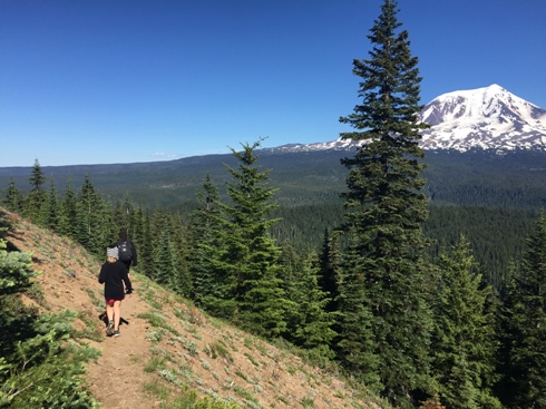
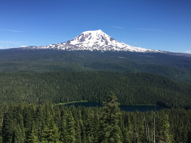
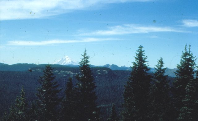
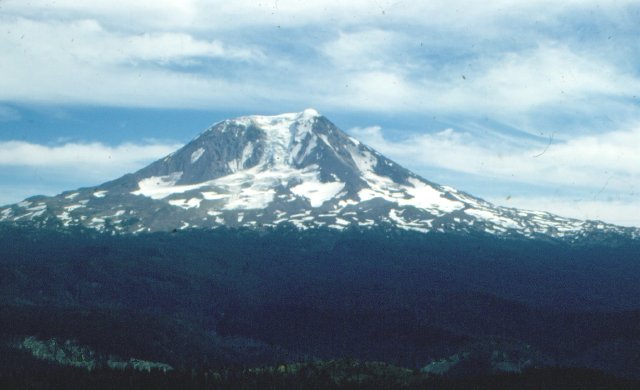
Mt. Adams view from the summit
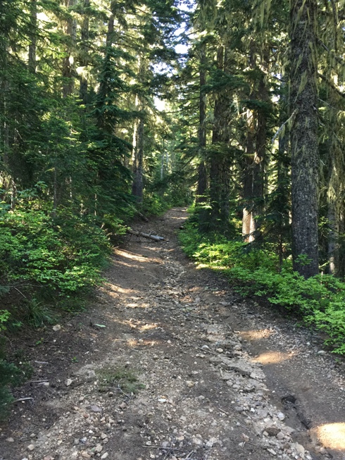
Old road and trail
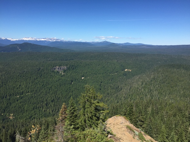
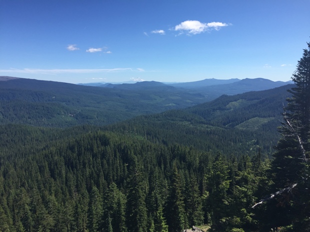
View to the Goat Rocks on left and the flats north of Adams on the right
South toward Mt. Hood
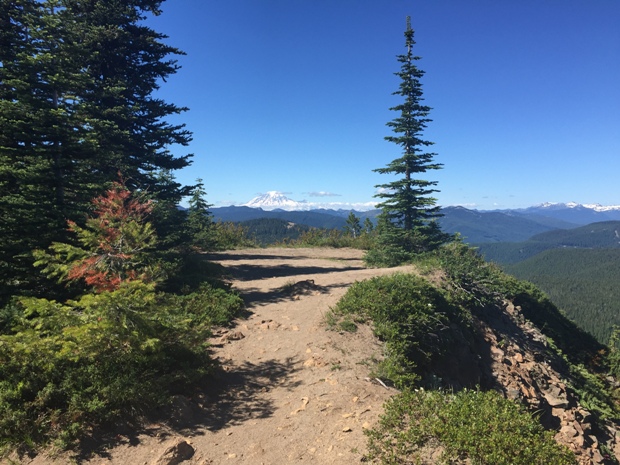
Trail near the summit
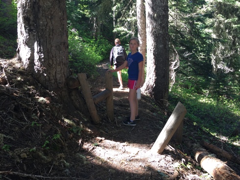
Old trailhead gate
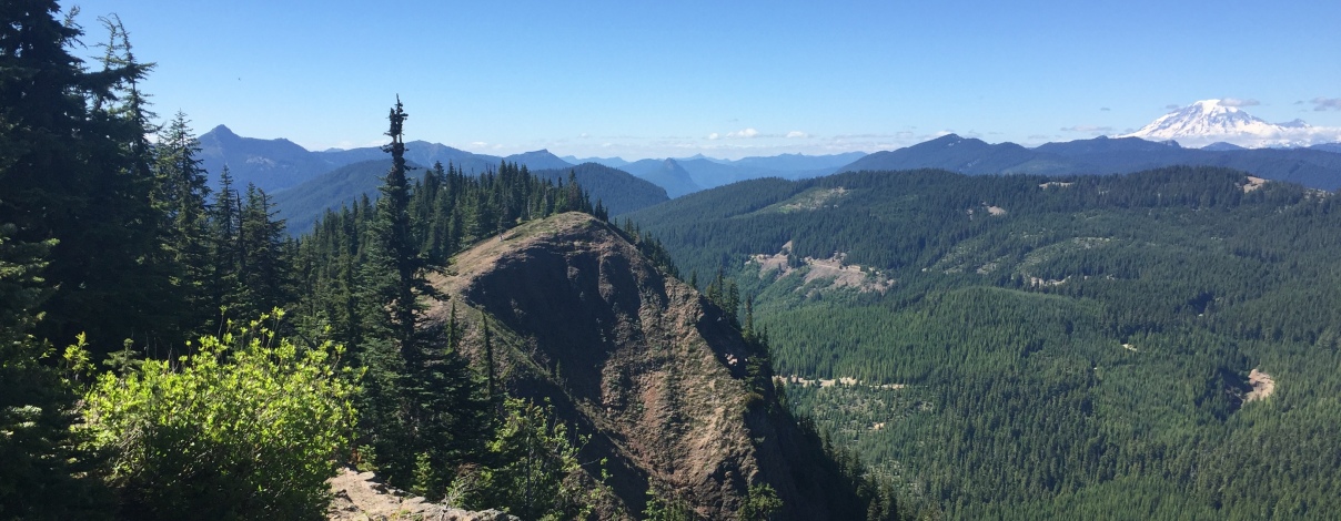
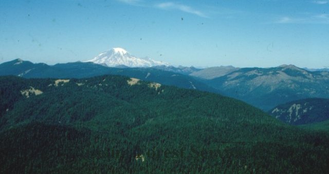
View Northwest from the summit with Mt. Rainier on right
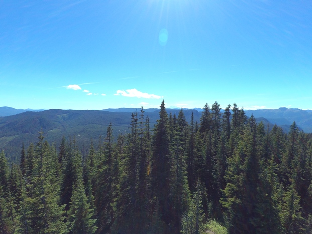
Southwest view 2018 with drone
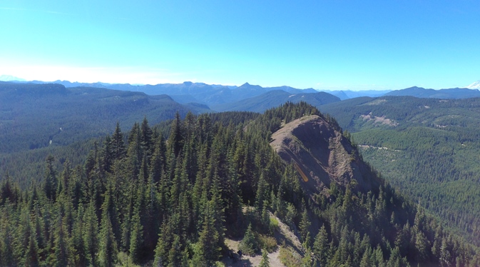
Lookout site in 2018 viewing north
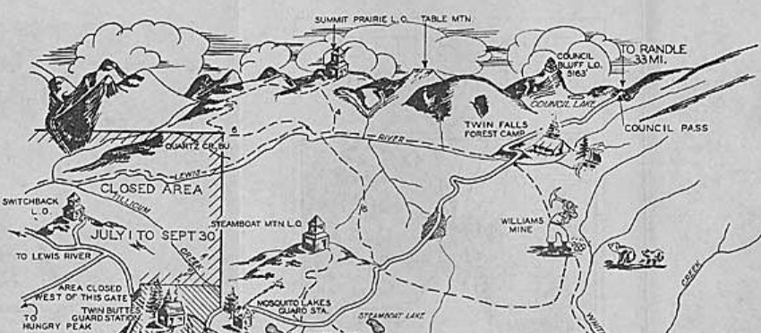
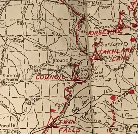
1939 recreation map
Drone shot looking NW
Some drone footage is at the end of the following video:
From Mountaineers Annual Report of 1937, probably the first trip report for this hike.
Lookout History
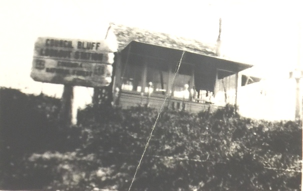
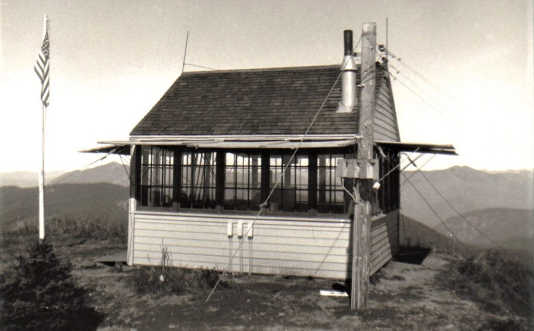
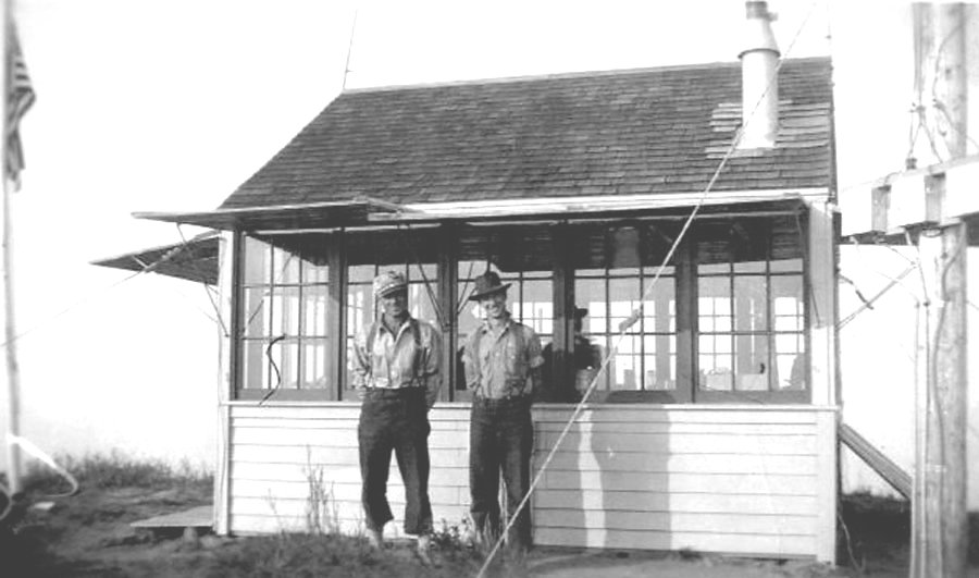
The lookout was built in 1931 and 1932. Jim Green and John Peters, Jr. packed in the material to build a lookout house. The lookout was a gable 2 side roof L-4 cab ground house. The first lookout person was Clarence McMahan. In 1934, panoramic images were taken from the ground. In 1943, the lookout was manned by Francis (Pitman) McMahan and Gena Hickey. It was likely abandoned in the 1950s and destroyed prior to 1964 when a survey party arrived and reported it demolished.
Southwest view July 20, 1934
Sign says, Council Bluff Lookout Station Columbia National Forest
Henry O. Brien and Charles Boyer in 1936
1940 Columbia National Forest
1950 view to Pre-eruption Mt. St. Helens
1950 view to Mt. Adams
1950 view to Mt. Rainier
Council Bluff Lookout in 1936


