
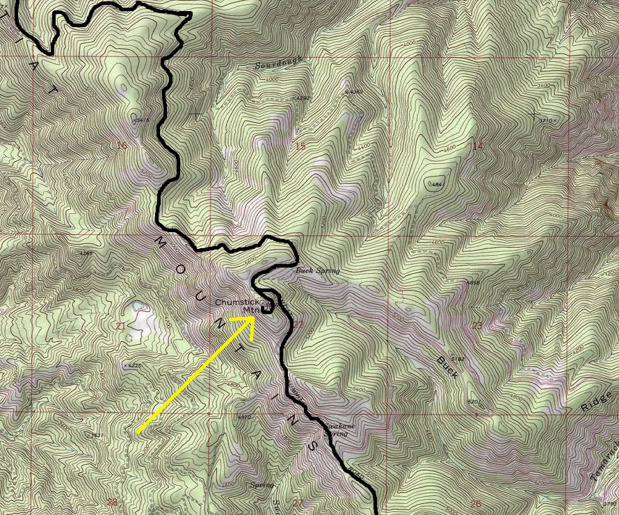
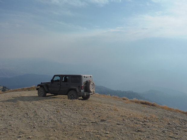
Several options exist but I only know the access I used. I drove up Eagle Creek Road off Highway 209 just north of Leavenworth. Drove Eagle to the end of pavement where there is a junction. Turn left on the Van Creek Road (NF7520). Follow this nice gravel road to the ridge top. At ridge top, left is to Sugarloaf Lookout, right is to Chumstick Mountain. Go right and in a short distance, left goes to Ardenvoir and right goes to Chumstick. Follow the Chumstick route for 8 miles or so until you pass right below the summit. A short spur leaves the main road and climbs to the top. Due to changing road conditions, a high clearance vehicle is best although I know a guy who drove a van to the summit.
Elevation: 5,810 feet
Hiking Distance & Gain: Drive-up
Prominence: 1,750 rise
Access: Best with higher clearance
Chumstick Mountain Lookout Site
WillhiteWeb.com
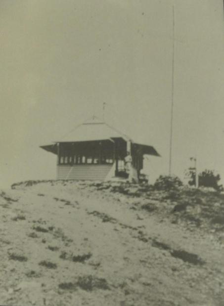
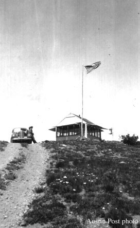
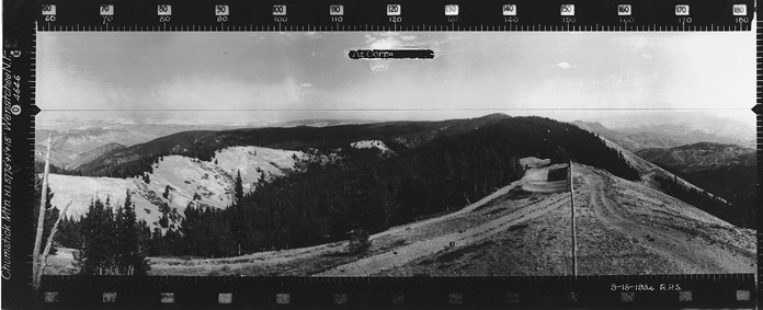
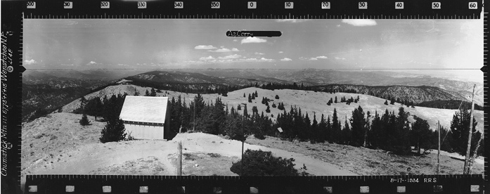
Chumstick is a prominent point on the long Entiat Ridge. The summit had a ground-mounted gable-roofed L-4 cab, built in 1931. It was destroyed in 1967.
On July 14, 1931 the Wenatchee Chumstick road crew gave a picnic on top of Chumstick Lookout in celebration of the Wenatchee's first road to a lookout. The road machinery including a 15-cat and backfiller, 30-cat, grader, and compressor, were all grouped around the lookout point itself and the flag was raised fore the occasion. Just one month before the crew started work and built the six miles of road to it on top. The bulk of the yardage was moved by the 15-caterpillar and Master backfiller. This machine was used on double shift part of the time in order to keep the other machinery busy one shift. The Wenatchee is proud of its new road to Chumstick lookout and proud of the men on the crew whose enthusiasm and hard work put the job over in such fine shape, and the lookout on Chumstick is all smiles this year. Says he is going to have record number of visitors. (Six Twenty-Six)
Access & Route:
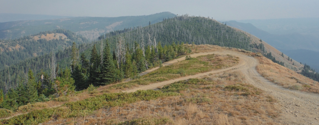
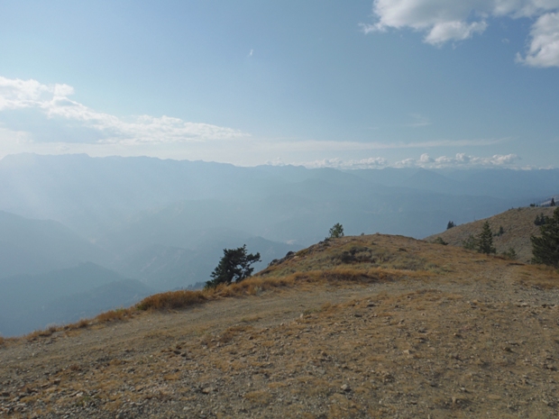
Looking North - 2017
Looking Southeast - 2017
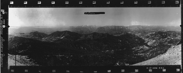
Looking Southeast - 1934
Looking North - August 17, 1934
Ester Kester Photo
Drive-up
Smoke from Jolly Mountain fire
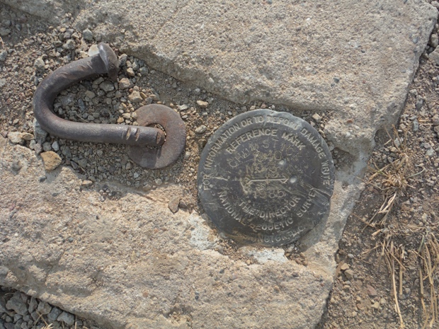
Directional marker to missing benchmark
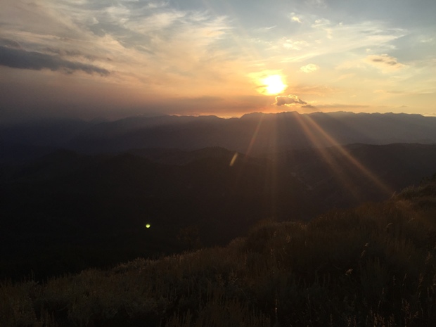
Sunset near Chumstick
1938
Looking Southwest - August 17, 1934
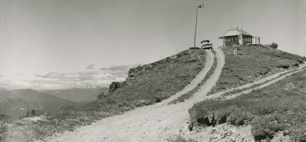
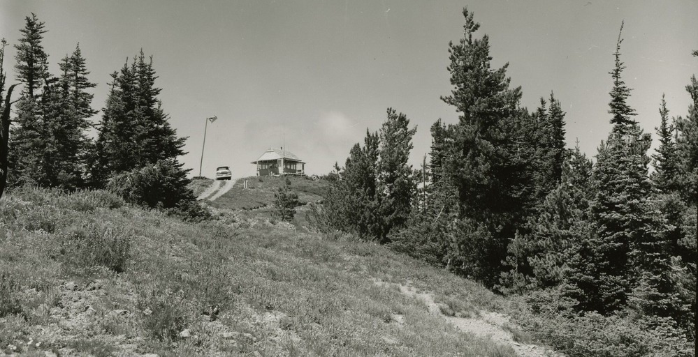
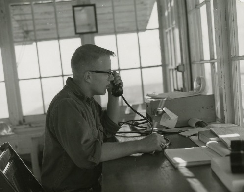
Chumstick Mountain in 1963
Chumstick Mountain in 1963


