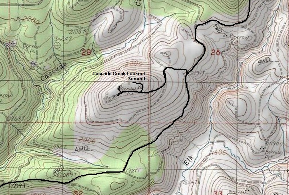
Elevation: 2,500ish feet
Distance & Elevation: Drive-up
Access: Longview-St Helens permit needed, then just a drive-up
Cascade Creek Lookout Site
WillhiteWeb.com
The lookout inventory says this site was used in the 1940s and was a 15 foot stump with an 8x8 foot cab on top. There was also an Adirondack shelter. Just one mile to the north is the confirmed Devils Burn Lookout site that matches this exact description. Right now, I am not confident that the information we have for Cascade Creek Lookout is correct. So for now, I have Cascade Creek and Devils Burn as two separate places since it is possible that 2 different lookouts were established overlooking private logging operations. It is also possible that both sites utilized a stump. How long this site was used is unknown. The summit was used in later years as a rock pit so it is likely any evidence left behind is long gone. There has been at least one harvest as well. I have not found this lookout (Cascade Creek) on any maps. I have found Devils Burn on maps one mile north.
Cascade Creek Site - from a road on Winters Mountain
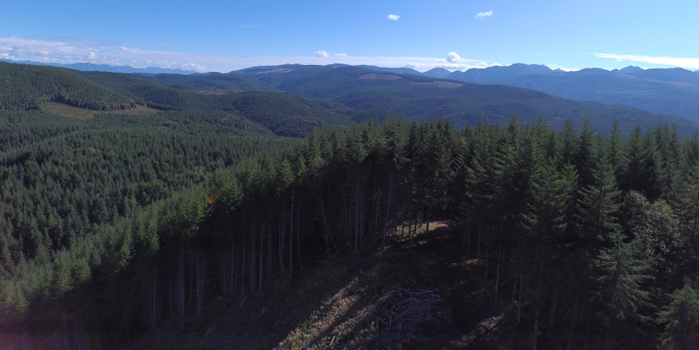
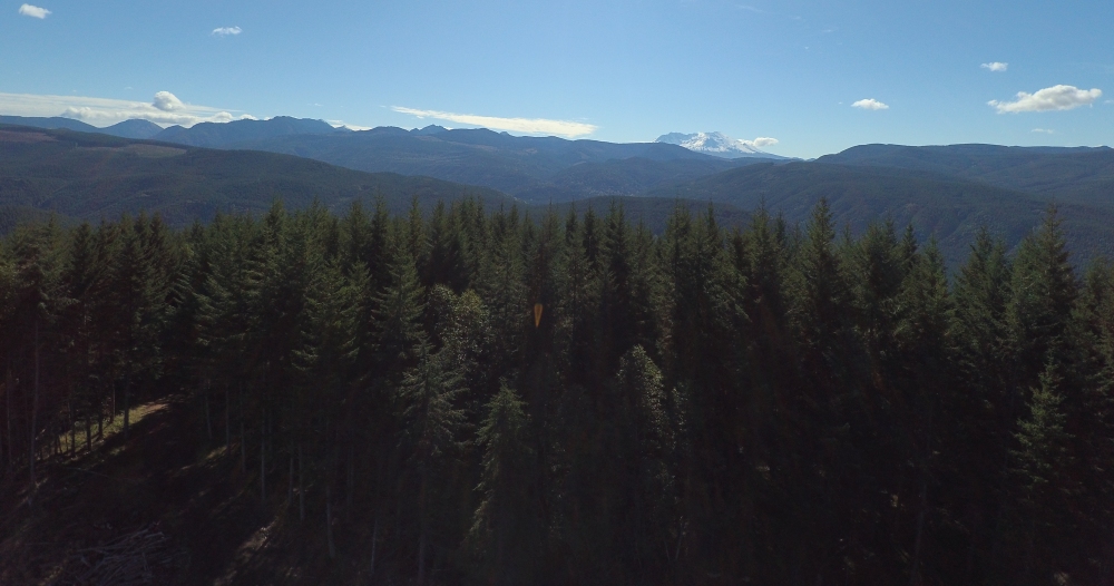
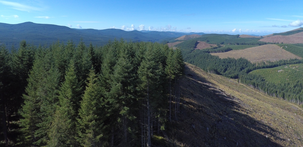
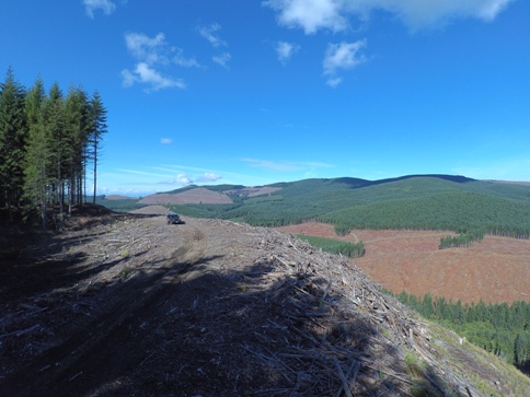
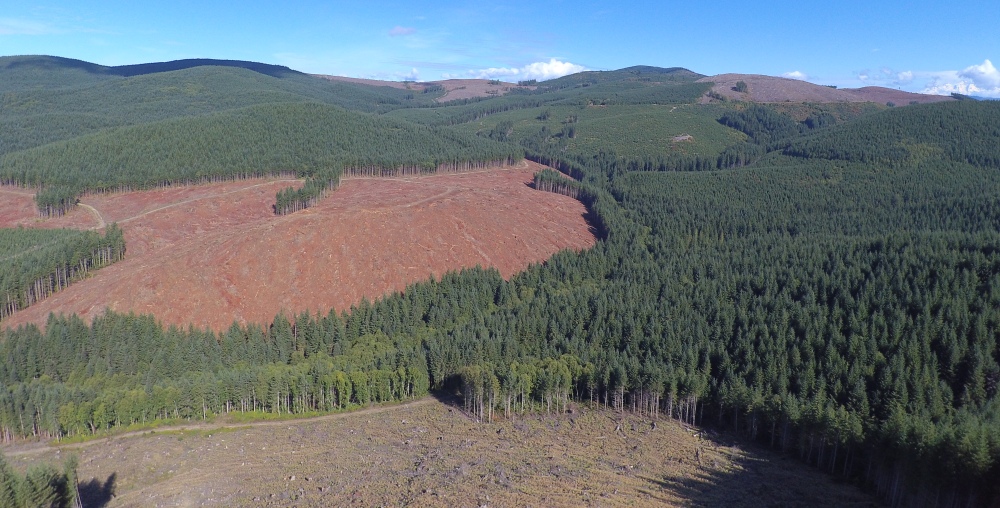
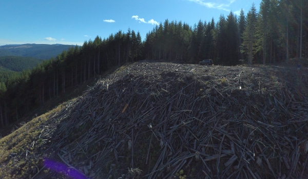
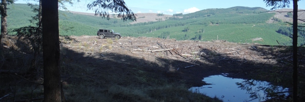
Summit of Cascade Creek
View to the east
View to the south
View to the west
View to the north with Winters Mountain in center-right
Checking around the highest points - old borrow pit full of water
Lots of logging slash
