Burch Ridge
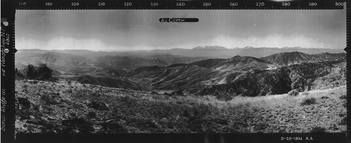
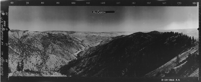
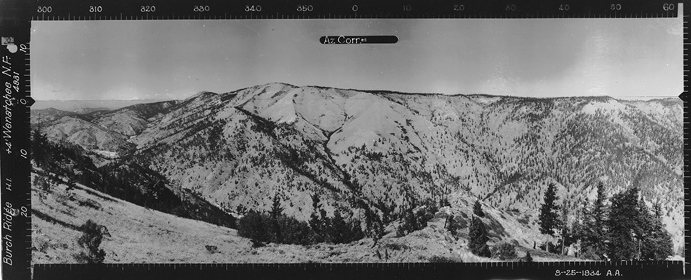
The highest point on Burch Mountain is at the north end. On August 25, 1934, the Osborne photo crew visited this location and called it Burch Ridge. A lookout may have been considered here or it was an emergency patrol point during high fire times. This highpoint has 1,691 feet of prominence and makes a great spring hike when the weather or snow is too much to deal with further west.
Elevation: 4,951 feet
Distance: Three miles or less
Elevation Gain: 600 feet
Access Road: Rocky gravel
Washington Fire Lookouts
Access:
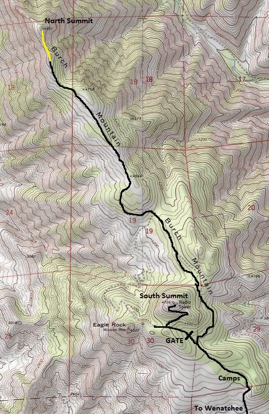
In Wenatchee, find Burch Mountain Road at the north end of town. It is long and straight as it climbs through a neighborhood. Eventually you hit the entrance gate and dirt. This lowest gate is closed in winter and early spring. Once open, you can drive to about 4,300 feet where there are two options. The left road goes a short distance and hits a gate that is always closed. This is the trailhead for the south summit. The road to the right goes to the north summit 3 miles further via a much rougher 4WD road. A short distance from the end of the road will be the highest point of the ridge and summit.
Route:
Park and walk road wherever you are comfortable driving your car. Although some years the first several miles out of Wenatchee is graded for any vehicle, it is still best to do this trip with a vehicle with tough tires to handle the rocks.
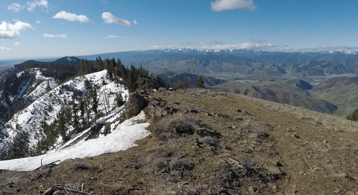
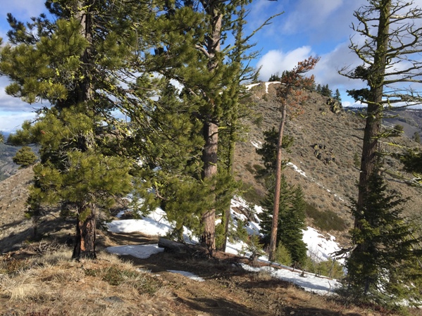
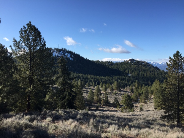
Final climb to the top
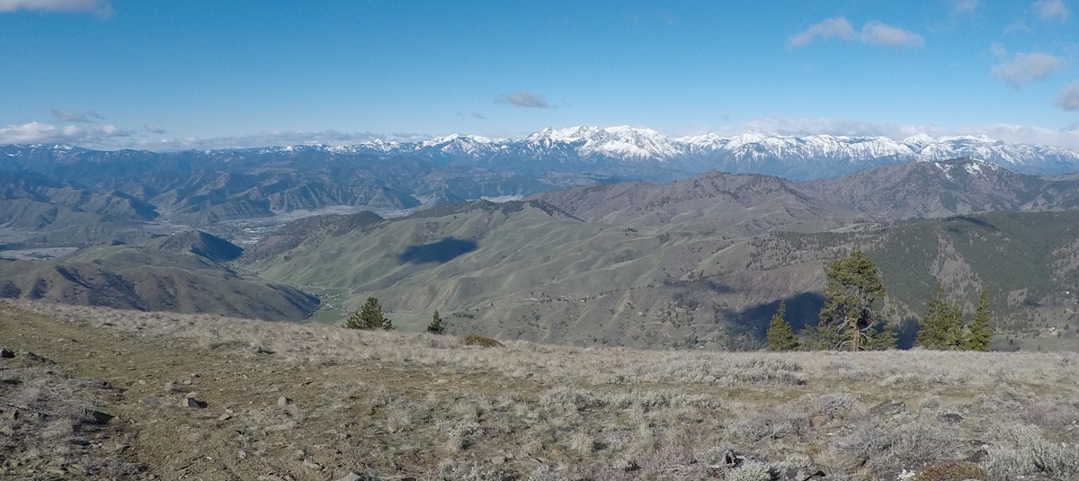
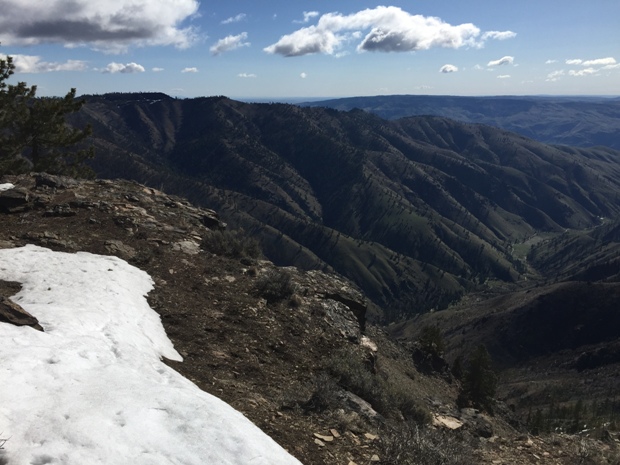
Southwest view
South view
Southeast view
North view
Looking east
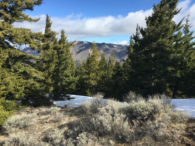
North side of Burch Mountain South summit and Mission Mountain (Eagle Rock)


