Beehive Mountain
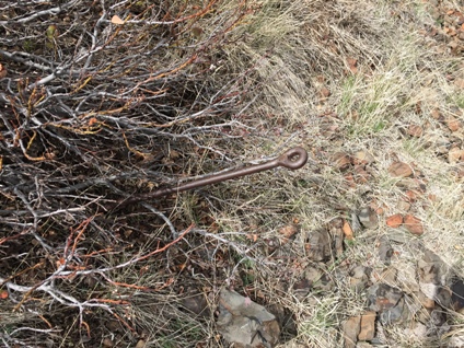
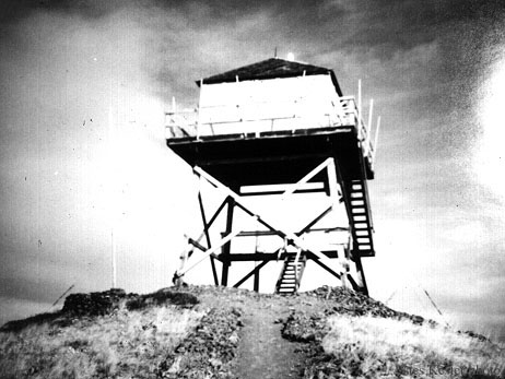
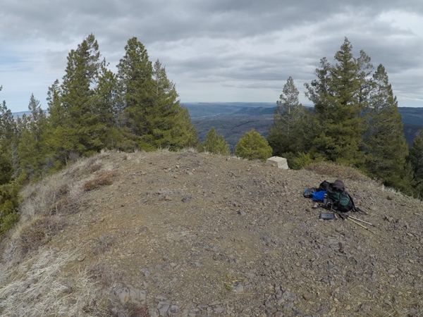
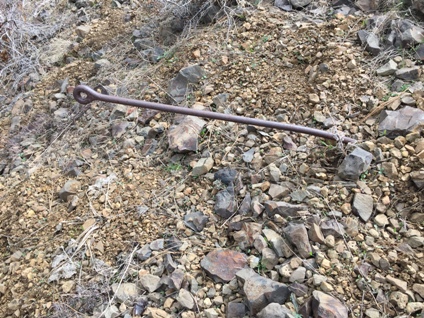
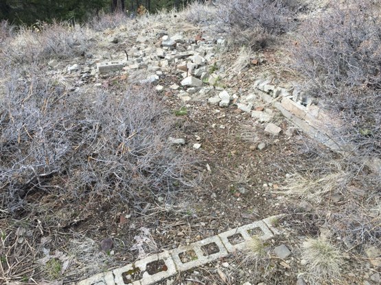
This small mountain had a fire lookout established in 1931. It was an L-5 cab at ground level. In 1940, it was replaced with an 18 foot pole tower with an L-4 cab. This second lookout was destroyed in 1973 after being replaced by the new DNR Harriets Peak Lookout 5 miles away the previous year. All that remains of the lookout is one concrete footing, some eyebolts and the foundation of a storage building.
Elevation: 4,576 feet
Distance: Under one mile
Elevation Gain: 307 feet
Access Road: Very good gravel
Washington Fire Lookouts
Access:
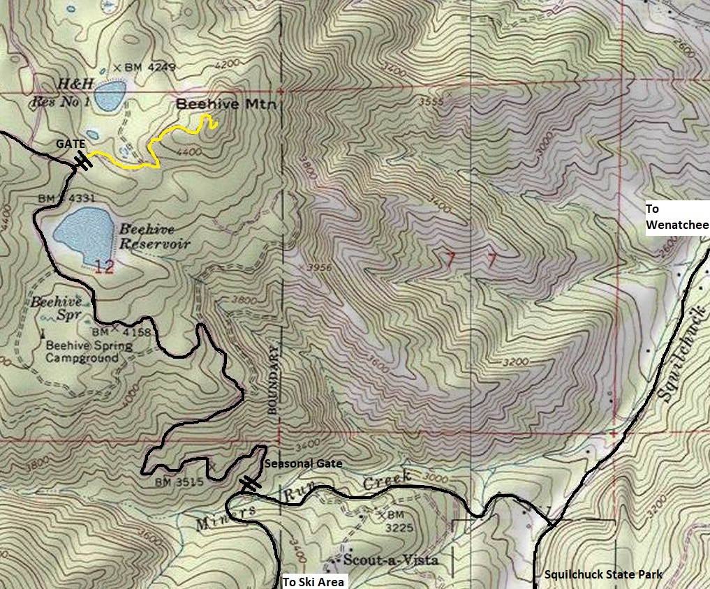
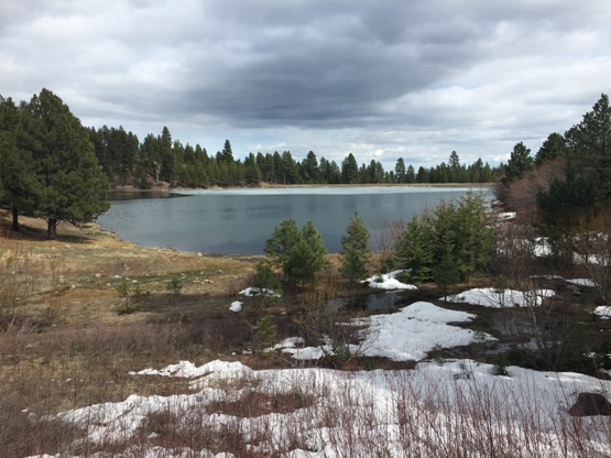
From Wenatchee, head up to the Mission Ridge Ski Area. A few miles before the parking area, Forest Road 9712 turns right off the pavement. This is a well graveled road any car can travel. After 2 miles, you pass Beehive Reservoir picnic area. The locked gate is on the right above a half mile passed the reservoir.
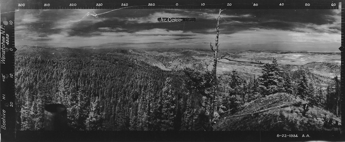
Southwest 1934 Note car and no garage yet
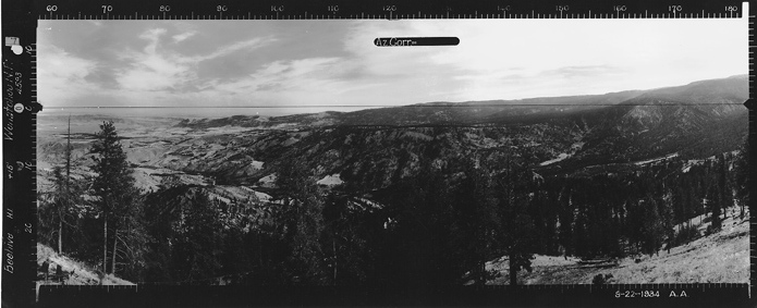
Southeast 1934
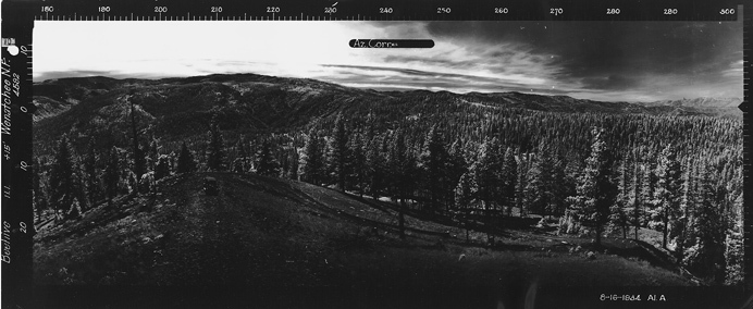
Nroth 1934
Route:
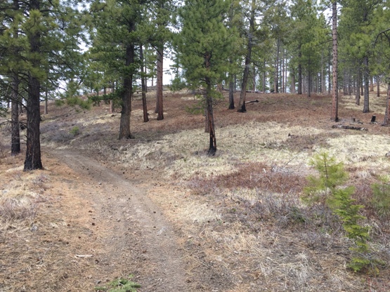
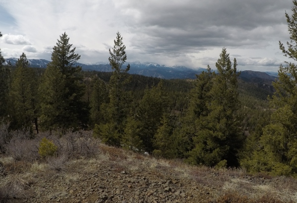
Follow the gated logging road to the summit. There is one Y intersection near the beginning, go right. Views are disappearing fast.
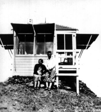
First Beehive Lookout in 1935 Estes & Ruth Kester
Second Beehive Lookout in 1963 Estes Kester
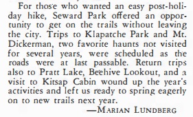
1950 Mountaineers Club Journal
Road up to the lookout site
Beehive Reservoir picnic area near the trailhead
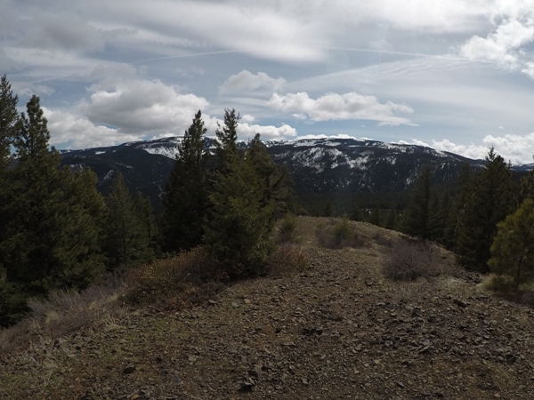
Beehive Mountain summit
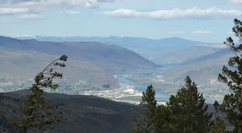
View northwest
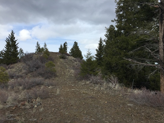
Foundation of the garage below the lookout site
Lookout site from former garage
Mission Ridge
Anchor
Anchor
Wenatchee


