

Babyshoe Lookout Camp

In the booklet produced by Joanne Bridges called “Rag Camps to Lookouts”, she reported talking to Jim McMahan whose father Clarence apparently used Babyshoe as a lookout camp around 1930. Her theory that the camp was no longer used after nearby Council Bluff Lookout was established seems plausible. I visited the site in 2019 and the spot has all the features of other lookout sites. Unfortunately, I didn’t have time to search the area in much depth. It wouldn’t shock me if the son was confused and maybe Council Bluff Lookout was a camp called Baby Shoe before the lookout was constructed. On the other hand, early USGS maps show a trail up and over the highpoint of Babyshoe Ridge and no trail to Council Bluff lookout site. For now, this should probably be in the unknown category until more information can be found.
Access:
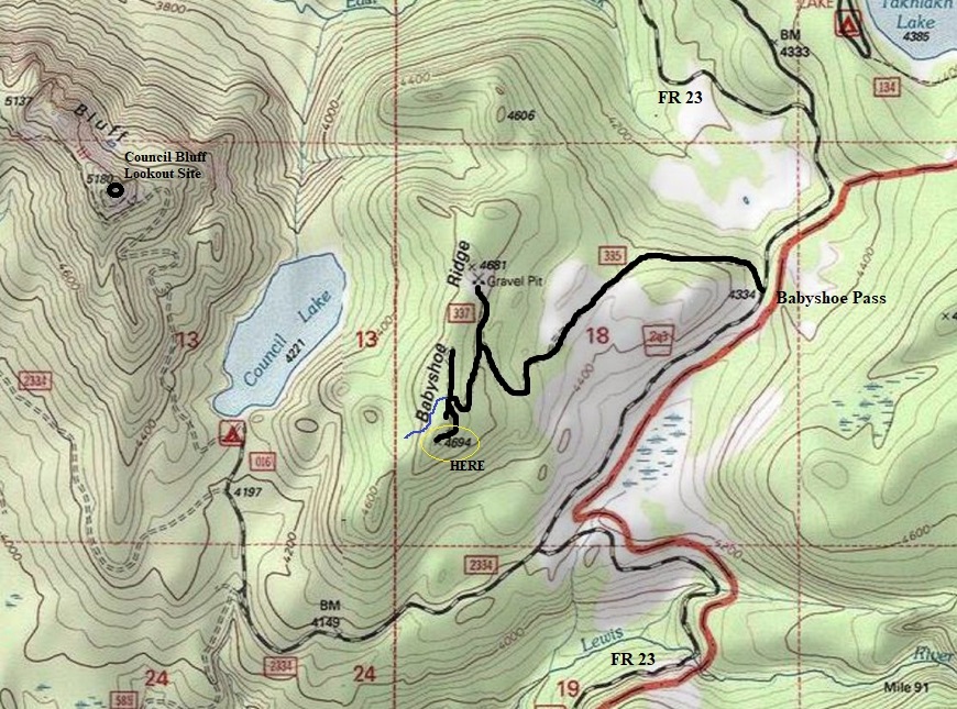
Forest Road 23 is the main route between Randle and Trout Lake. The highest point is Babyshoe Pass. At the pass is the spur road going to the summit. The spur road is fairly good for the first half to a Y. Left goes to the viewpoint, right goes to a quarry. The remaining road gets rougher to the ridgetop . When you arrive at the ridge top, there are 5 directions to choose. 3 are roads, one is a trail, and the final is a short spur to a campsite. The final few feet of road to the summit are best for high-clearance 4WD only.
Lookout Elevation: 4,694 feet
Hiking Distance: Drive-up
Access: Any vehicle gets within a mile
WillhiteWeb.com: Fire Lookouts
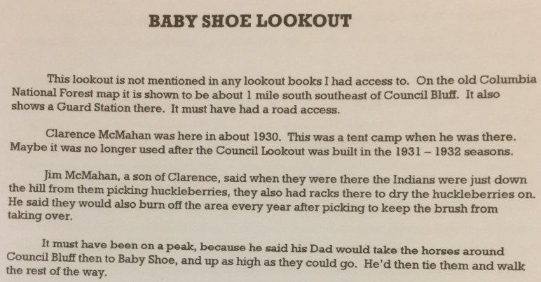
Page about Babyshoe in "Rag Camps to Lookouts"
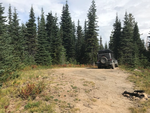
Summit of Babyshoe Ridge
Summit of Babyshoe Ridge
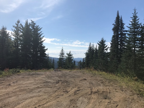
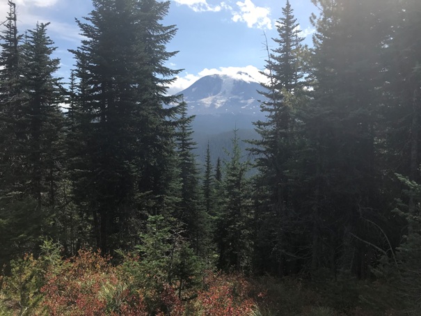
Looking East to Mt. Adams
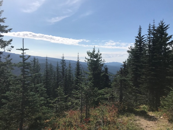
Looking South
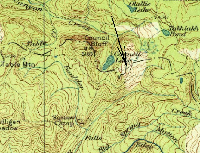
Access Map
A lot is going on with this map from 1931. There are dashes and dots from a county line boundary. Trails are the light dashes and you can see a trail go directly over Babyshoe Ridge and one that goes around it. No trail is going up Council Bluff, it was a few more years before that site was developed.
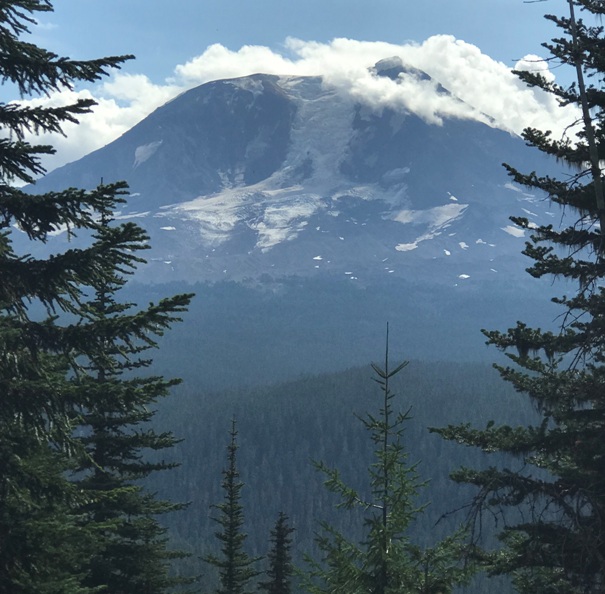
Zoom in on Mt. Adams


