Sawmill Ridge AWS
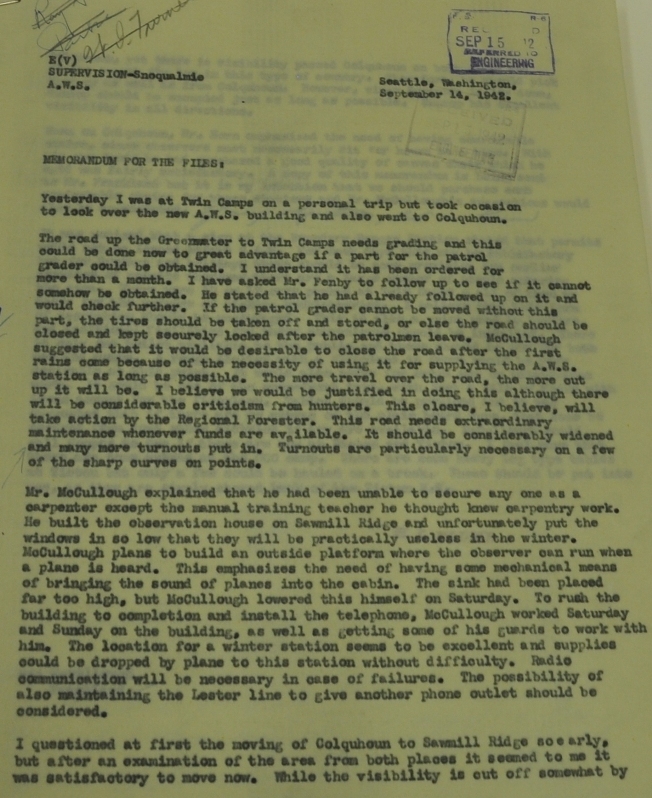
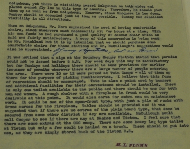
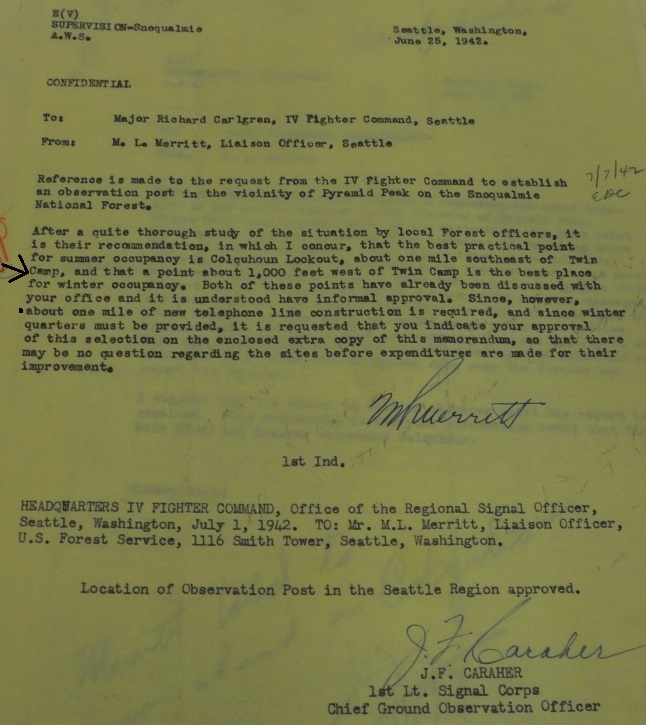
Located near Greenwater, Forest Road 70 is a popular destination for hikers, hunters and off-road enthusiasts. One of the most popular roads is 7030 up Whistler Creek to the long drivable ridgelines that offer big views. This road accesses popular locations like Kelly Butte, Colquhoun Peak, and the PCT near Blowout Mountain. Numerous campsites are up on the ridge but at one time were an official campground called Twin Camps. The Sawmill Ridge AWS station was located just 1,000 feet to the west of the campground. Sawmill Ridge was a winter station for the fire lookout being used on Colquhoun during the summer months. Although Colquhoun would have been too difficult to man during the winter, Sawmill Ridge was not much easier, being so high in the mountains. A document on September 14, 1942 gave good background about this station including the following: "Mr. McCullough explained that he had been unable to secure any one as a carpenter except the manual training teacher he thought knew carpentry work. He built the observation house on Sawmill Ridge and unfortunately put the windows in so low that they will be practically useless in the winter. McCullough plans to build an outside platform where the observer can run when a plane is heard. This emphasizes the need of having some mechanical means of bringing the sound of planes into the cabin. The sink had been placed far too high, but McCullough lowered this himself on Saturday. To rush the building to completion and install the telephone, McCullough worked Saturday and Sunday on the building, as well as getting some of his guards to work with him. The location for a winter station seems to be excellent and supplies could be dropped by plane to this station without difficulty. Radio communication will be necessary in case of failures. The possibility of also maintaining the Lester line to give another phone outlet should be considered. I questioned at first the moving of Colquhoun to Sawmill Ridge so early, but after an examination of the area from both places it seemed to me it was satisfactory to move now. While the visibility is cut off somewhat by Colquhoun, yet there is visibility passed Colquhoun on both sides and planes cannot fly low n this type of country. Therefore, he should pick them up as well as from Colquhoun."
Location: Section 7, Township 19 North, Range 11 West
Ownership at time: National Forest
Date activated: October 7, 1942
Aircraft Warning Service - Washington State
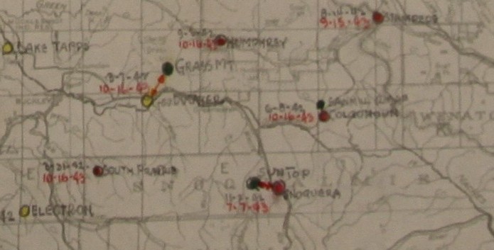
AWS map showing summer at Colquhoun and winter at Sawmill Ridge
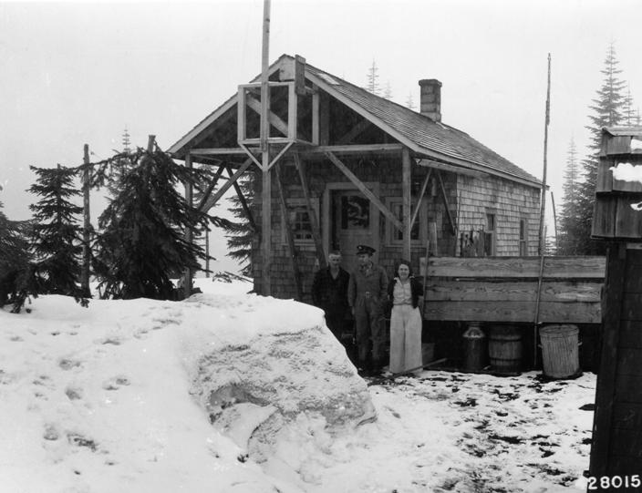
May 5, 1943: AWS post at Saw Mill Ridge. Mr. and Mrs. Leo P. Gleason, observers, and Corporal C.L. Bayer, AWS Sector Seargent, Enumclaw district. Mr. and Mrs. Gleason were on this post from October 7, 1942 to May 10, 1943. They ate $300 worth of food and burned 7.5 tons of coal. The snow was level with the crow�s nest at one time during the winter.
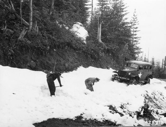
May 5, 1943: Shoveling out a snow drift from the Twin Camp road in order to reach AWS Station on Saw Mill Ridge. Corporal C. L. Bayer and Leo Gleason shoveling.

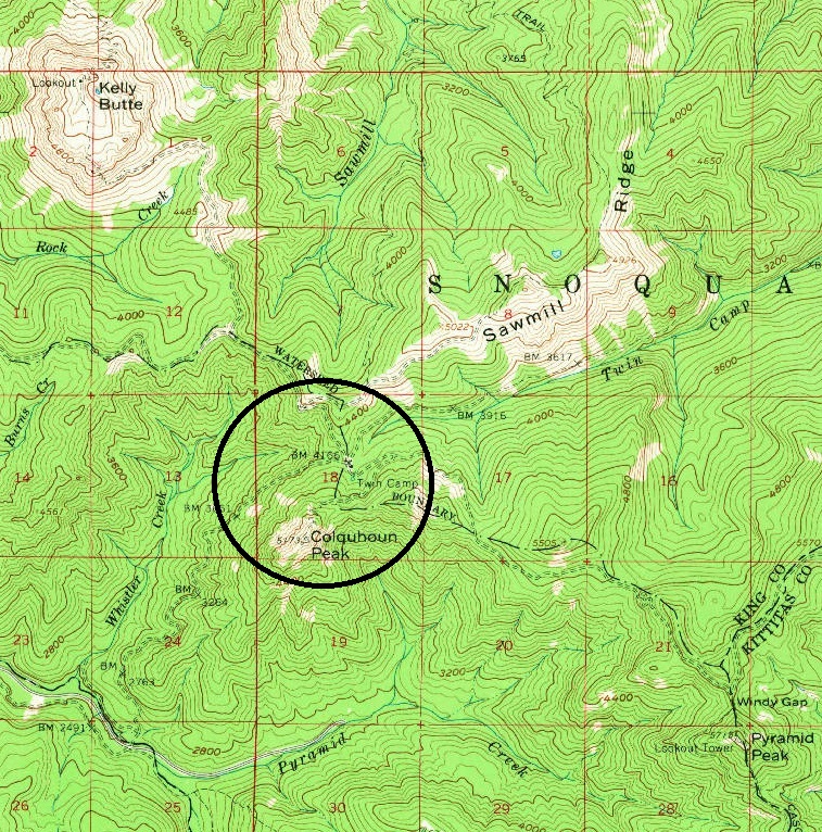

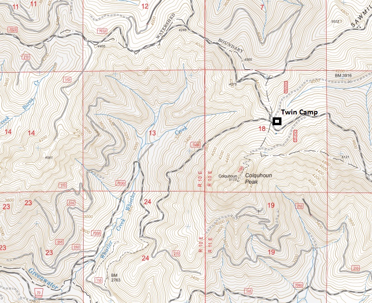
USGS map showing Twin Camp north of Colquhoun Peak
Forest Service map today with Twin Camp area marked
September 14, 1942 - H.L. Plumb visit to the area
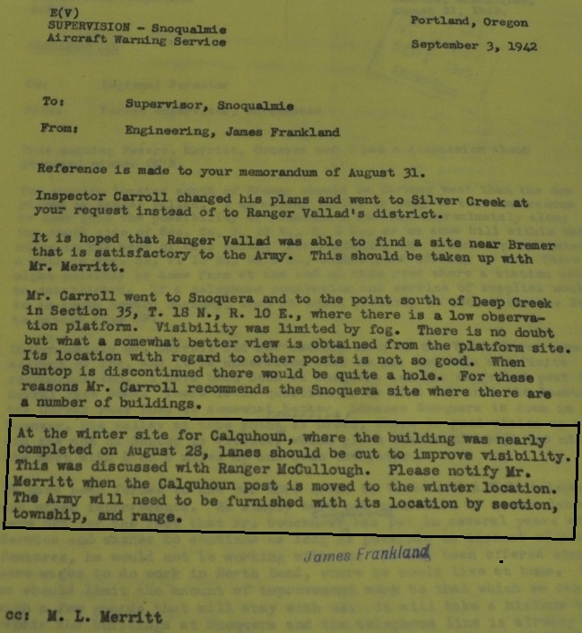
September 3, 1942
June 25, 1942 - deciding where to place summer and winter stations


