Corrigenda Butte AWS Site
AWS in Washington
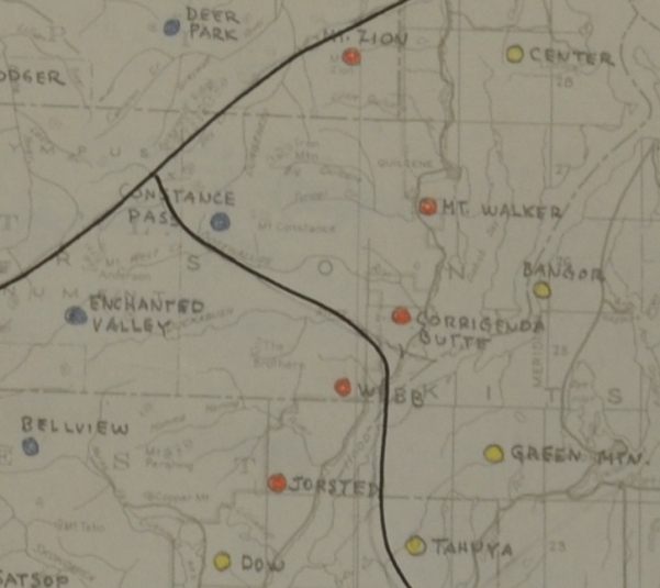
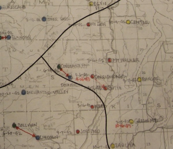
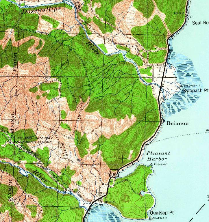
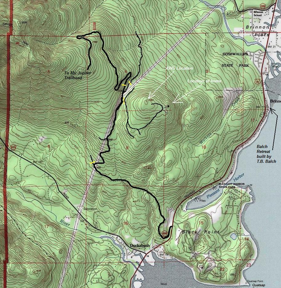
Researching AWS sites, the large maps on the right show a location known as Corrigenda Butte, or sometimes just Butte. No documents found give a Section/Township/Range but the location on the map is pretty clear, an area near Hood Canal between the Dosewallips and Duckabush. A check on the topo map shows a isolated knob that would make a fine observation post if there was a viewpoint without trees. The lower map to the right also shows a connection with the Corrigenda G.S. post. The Guard Station in the Dosewallips Valley was used in winter between Sept. 6, 1942 to April 26, 1943. The lookout switched to Corrigenda Butte on April 26, 1943 for the summer months. Turns out, the location of Corrigenda Butte AWS lookout was the summit of the knob. This was confirmed by Linda Tudor of Brinnon, who once lived in a cabin near the summit.
Location: Unconfirmed at this time
Structure: Large cabin with separate garage
Owner of Land at Time: Private
The Site
A 1939 aerial photo shows the entire summit area being logged off making observation easy during WWII time period. Based on Google Earth view, placing yourself on the summit, you have a full view up the Dosewallips River Valley, and down across Hood Canal. Any enemy aircraft using the Dosewallips to sneak attack the Puget Sound region would be easily spotted and reported by the observer. AWS documents near the end of the war say that Corrigenda Butte was on private land with a verbal lease to use the location for free. They also said that two 8 x 16 cabins were built with AWS money.
Past Known Landowners
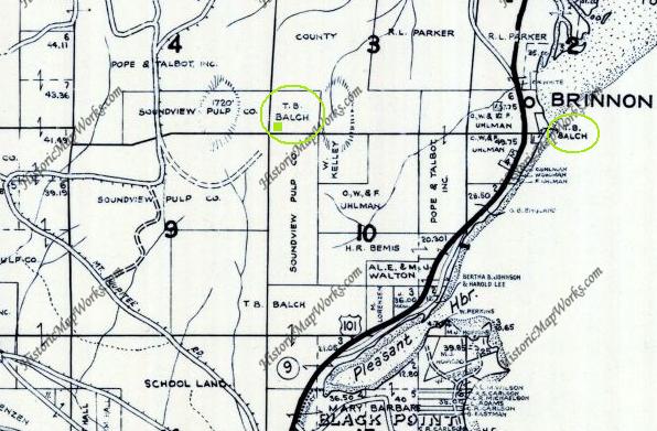
1952 T.B. Balch (see below)
1978 L. Morgan
1997 C. Land
2016 Clarence E. Land
T.B. Balch (True Bradberry Balch)
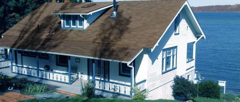
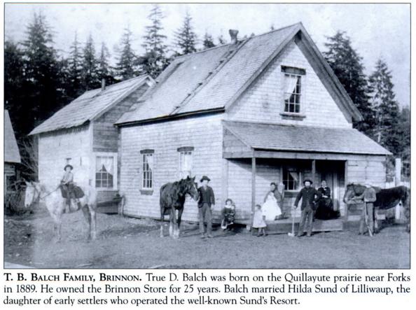
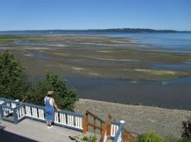
The landowner in 1952 (and likely 1942) was T.B. Balch, born in Sequim. He was one of the founders of Brinnon, located just below the hillside. He constructed the iconic Nantucket waterfront home on Hood Canal in 1920 that still stands today as a vacation rental (The Balch Retreat). True Balch was the Brinnon postmaster from 1926 to 1946. He also listed himself as a merchant in the 1930 census.
Access
Access is on Green Crow timberlands, non-motorized access only. Currently in 2016, the highest summit area in section 9 is being logged by the owner, Green Crow timber company. A great view should be available soon. This is off the Mount Jupiter Road, but before the seasonal gate. The Mount Jupiter Road gate is open May 1 to Sept. 30. The former home is private property.
AWS map showing Corrigenda Butte
AWS map showing Corrigenda G.S. (winter) and Corrigenda Butte (summer)
Guardians of the lower Dosewallips

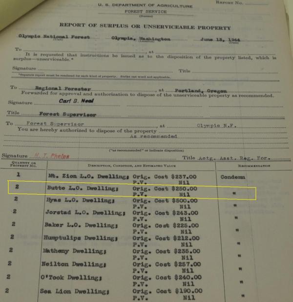
36. 5-6 Butte Private - verbal lease - free New construction Abandon 2 - 8x16 cabins built with AWS
Original cost $250.00
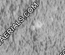
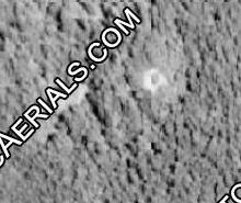
1969
1994
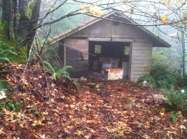
Cabin
Cabin
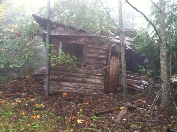
Garage
Garage
Aerial Photos
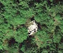
2016
Balch Retreat
Balch Retreat
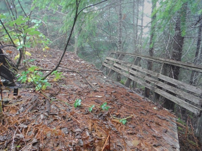
Road to this location on the 1936 USGS map
Party deck
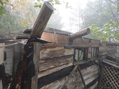
Roof beams
Side of cabin
Garage
1952 map showing land ownership
Some History
In the 1920s logging era, a railroad spur was established nearly to the summit. This spur came off the main logging railroad bed which is now the Mt. Jupiter Road. By the 1930s, maps show the rail line removed and depict it as a roadbed. T. B. Balch owned this parcel because it has a clear perennial spring. A concrete retaining dam and pipeline was added to supply spring water down to the Balch home and later subdivision below on Hood Canal. This water source is maintained and remains in use today. Balch built no buildings on the parcel. Later, Linda Tudor and her former husband bulldozed a driveway from the former logging railroad down to a cabin homestead on a knoll near the summit. Linda Tudor says the lookout was on the highest point of the butte (point 1585 on current topos or point 1720 on older topos). She recalls the leveled site of the lookout building on the summit, and an adjacent shallow pit containing lots of debris from it, and no concrete foundation remaining...if it ever had one considering it may have been a temporary structure built on skids.
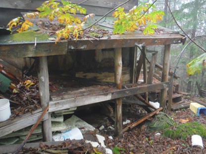
Wood shed
The Old Homestead Near The Summit
